Map of Guam
Guam is an island territory of the United States in the western Pacific Ocean. It is the southernmost and largest of the Mariana Islands in Micronesia, lying south of the Northern Mariana Islands and roughly east of the Philippines.
Unincorporated territory of the United States.

- Capital
- Hagåtña
- Population
- 153,836 (2020)
- Area
- 544 km² (210 sq mi)
- Population density
- 283 per km² (732 per sq mi)
- Official languages
- English and Chamorro
- Currency
- United States dollar
- Demonym
- Guamanian
- Highest point
- Mount Lamlam (1,332 m (4,370 ft))
- Calling code
- +1671
- Internet domain
- .gu
Where is Guam?
Guam is an island territory of the United States in the western Pacific Ocean. It is the southernmost and largest of the Mariana Islands in Micronesia, lying south of the Northern Mariana Islands and roughly east of the Philippines.

Blank and coloring maps of Guam
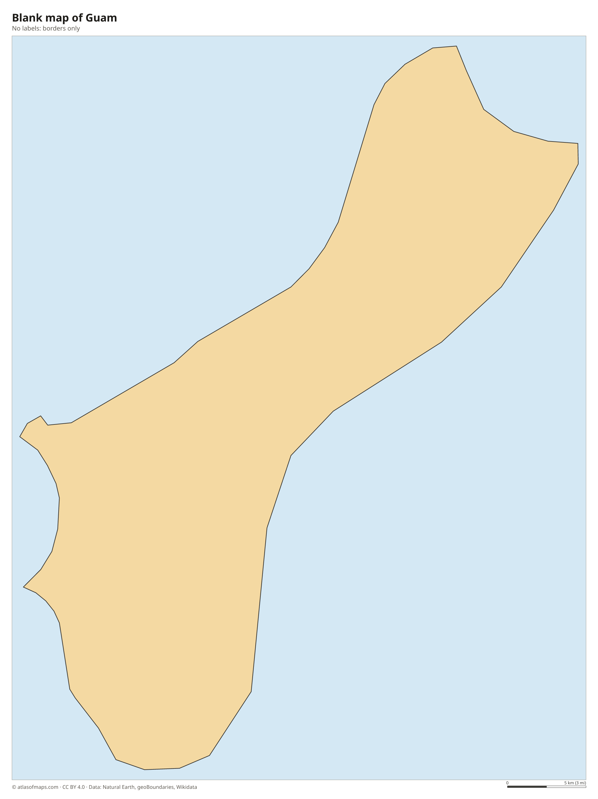
Blank map of Guam

Coloring map of Guam

Geography of Guam
Guam covers 544 km² (210 sq mi) and is long and narrow, pinched in the middle. The northern half is a flat limestone plateau edged by high cliffs, such as Two Lovers Point above Tumon Bay. The southern half is volcanic and hilly, with red clay soils, grassy ridges and the island's highest point, Mount Lamlam. Coral reefs surround most of the coast, and the deep Mariana Trench runs through the ocean nearby, so the seafloor drops steeply away from the island.
Most of Guam's rivers are in the volcanic south, where streams such as the Talofofo River flow to the east coast and form waterfalls. The limestone north has almost no surface streams, so much of the island's water comes from a large underground aquifer. On the west coast, Apra Harbor is a deep natural harbor that serves as the main port and a U.S. naval base. The climate is tropical and humid, with a drier season in the first half of the year, a rainy season in the second half and typhoons that can strike at any time.
Fun facts
- Guam lies west of the International Date Line, which is why it uses the motto Where America's Day Begins.
- Guam is the largest island in Micronesia.
- The brown tree snake, accidentally brought to Guam after World War II, wiped out most of the island's native forest birds.
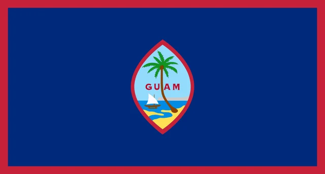
Flag of Guam
The flag of Guam has a dark blue field with a narrow red border. In the center is a pointed oval outlined in red, shaped like the sling stones once used by the Chamorro people. Inside it is a coastal scene with a coconut palm on the beach, an outrigger sailing canoe called a proa, the cliff of Two Lovers Point and the word GUAM in red letters.
Frequently asked questions
Is Guam part of the United States?
Guam is an unincorporated territory of the United States. People born there are U.S. citizens, but Guam is not a state, and its residents do not vote in presidential elections.
What ocean is Guam in?
Guam is in the western Pacific Ocean, in the region called Micronesia. The Philippine Sea lies to its west, and the Mariana Trench, the deepest part of the world's oceans, runs nearby.
What is the capital of Guam?
The capital is Hagåtña, formerly called Agana, on the island's west coast. It is a small administrative center, while Dededo in the north is the most populous village.
What countries border Guam?
Guam has no land borders with other countries.
What language is spoken in Guam?
The official languages are English and Chamorro.
Can I print the map of Guam?
Yes. Every map on this page can be downloaded for free as PNG or PDF (US Letter) and printed, including the blank map and the coloring map. Please credit the source (Atlas of Maps, CC BY 4.0).
Use this map
You can download, print and share this map for free, in class, in school projects, in presentations and on websites, as long as you credit the source: Map of Guam · Atlas of Maps (atlasofmaps.com), license CC BY 4.0.
See also: Map of Oceania · World map