Map of Hong Kong with regions and capitals
Hong Kong is a special administrative region of China on the country's southern coast in East Asia. It sits on the eastern side of the Pearl River estuary, bordering the city of Shenzhen in Guangdong province to the north, with the South China Sea to the south. The political map shows its 18 regions and major cities.
Special administrative region of China.

- Population
- 7.4 million (2021)
- Area
- 1,106 km² (427 sq mi)
- Population density
- 6,703 per km² (17,360 per sq mi)
- Official language
- Standard Chinese
- Currency
- Hong Kong dollar
- Demonym
- Hongkonger
- Regions
- 18
- Highest point
- Tai Mo Shan (957 m (3,140 ft))
- Calling code
- +852
- Internet domain
- .hk
- Official name
- Hong Kong Special Administrative Region of the People's Republic of China
Where is Hong Kong?
Hong Kong is a special administrative region of China on the country's southern coast in East Asia. It sits on the eastern side of the Pearl River estuary, bordering the city of Shenzhen in Guangdong province to the north, with the South China Sea to the south.
Neighboring countries: China.

Regions of Hong Kong
Hong Kong is divided into 18 districts, grouped into Hong Kong Island, Kowloon and the New Territories. It has no separate capital city; the government headquarters is in Admiralty, in the Central and Western district.
| Region |
|---|
| Central and Western |
| Kowloon City |
| Kwai Tsing |
| Kwun Tong |
| Lantau Island |
| North |
| Sai Kung |
| Sha Tin |
| Sham Shui Po |
| Siu Ma Shan |
| Southern |
| Tai Po |
| Tsuen Wan |
| Tuen Mun |
| Wan Chai |
| Wong Tai Sin |
| Yau Tsim Mong |
| Yuen Long |
Blank and coloring maps of Hong Kong
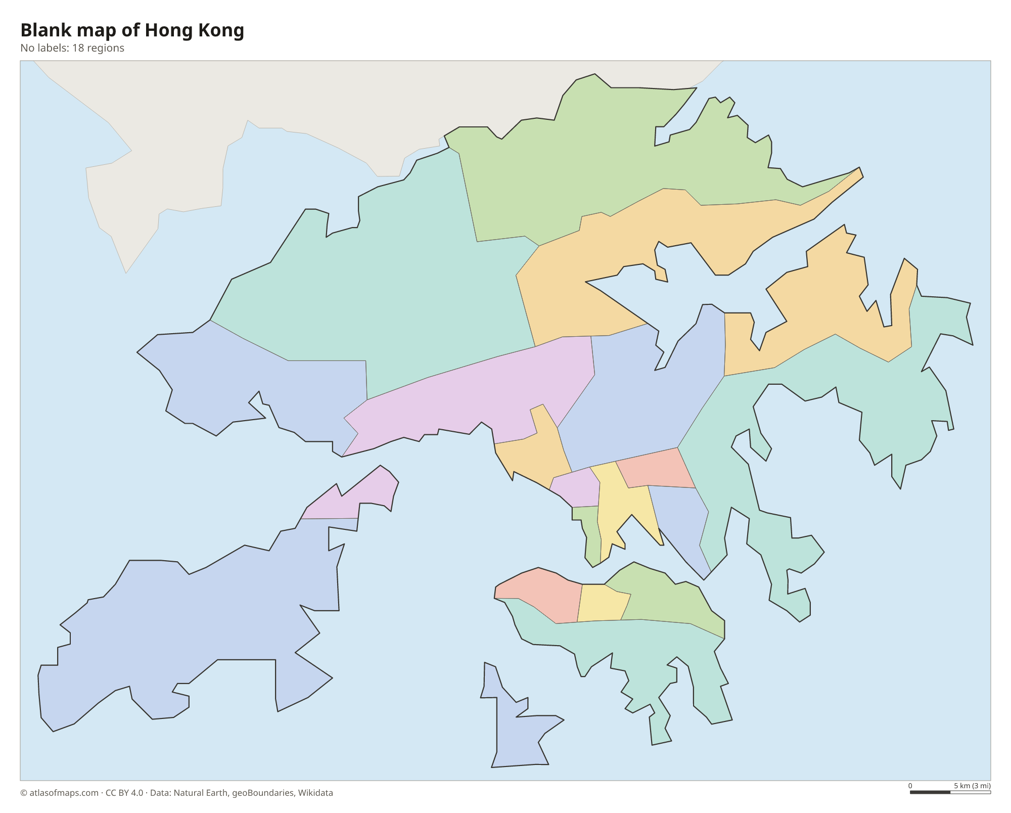
Blank map of Hong Kong

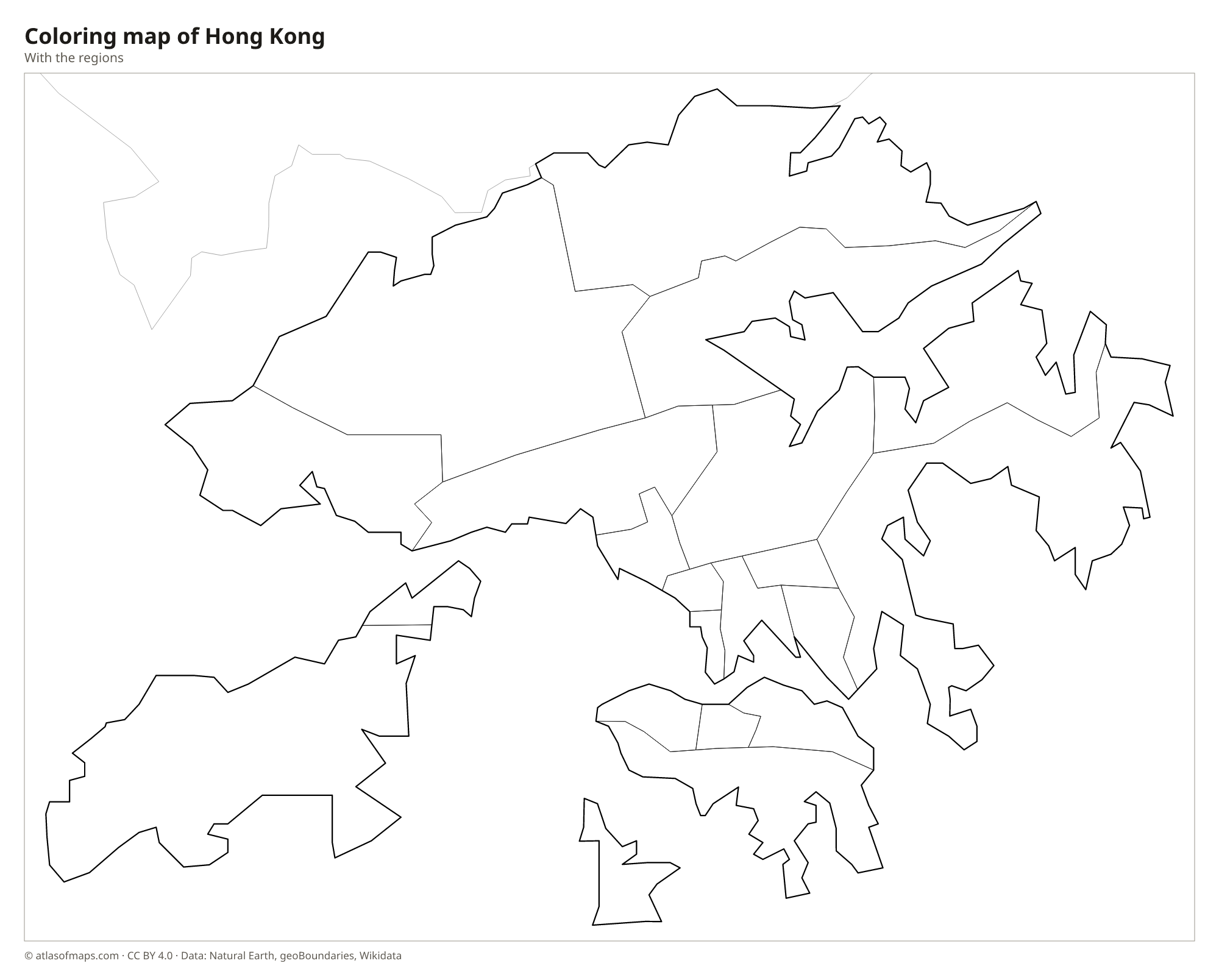
Coloring map of Hong Kong

Geography of Hong Kong
Hong Kong covers just 1,106 km² (427 sq mi) and has three main parts: Hong Kong Island, the Kowloon Peninsula and the New Territories, which reach north to the Shenzhen River and include more than 200 outlying islands. Lantau is the largest island, and the international airport lies on reclaimed land just off its north coast. Most of the land is steep and hilly, so the dense city is squeezed onto narrow coastal strips and reclaimed land. The highest point is Tai Mo Shan in the New Territories, at 957 m (3,140 ft).
Victoria Harbour separates Hong Kong Island from Kowloon and gave the city its start as a port. Hong Kong has no large rivers: the Shenzhen River marks the boundary with mainland China, and most fresh water is piped in from the Dongjiang River in Guangdong. Despite the crowded city, country parks cover much of the hilly land. The climate is humid subtropical, with hot, rainy summers, mild, dry winters and typhoons from about May to November. A long bridge-and-tunnel link crosses the Pearl River estuary to Zhuhai and Macau.
Fun facts
- Hong Kong was a British colony for more than 150 years before it returned to Chinese rule in 1997.
- Hong Kong International Airport was built on land reclaimed around the small island of Chek Lap Kok.
- The Tian Tan Buddha, a giant bronze statue on Lantau Island, can be reached by cable car from Tung Chung.
Flag of Hong Kong
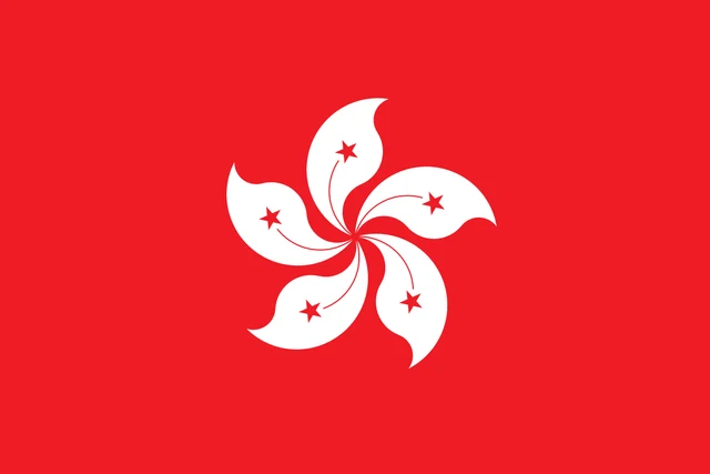
The flag of Hong Kong has a red field with a white, five-petaled bauhinia flower in the center. Each petal carries a small red five-pointed star with a thin red line, and the petals curve so that the flower looks as if it were spinning. The flag has a 2:3 ratio.
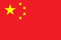
Countries bordering Hong Kong
Frequently asked questions
Is Hong Kong a country?
No. Hong Kong is a special administrative region of China. Under the principle of one country, two systems, it has its own currency, the Hong Kong dollar, and its own legal system, while China handles defense and foreign affairs.
How many districts does Hong Kong have?
Hong Kong has 18 districts: four on Hong Kong Island, five in Kowloon and nine in the New Territories, which also include Lantau and most outlying islands.
Is Hong Kong an island?
Only part of it. Hong Kong Island is just one piece; Kowloon and the New Territories are on the Chinese mainland, and the territory also includes Lantau and many smaller islands.
What countries border Hong Kong?
Hong Kong shares land borders with China.
How many regions does Hong Kong have?
Hong Kong is divided into 18 regions: Central and Western, Kowloon City, Kwai Tsing, Kwun Tong, Lantau Island, North, Sai Kung, Sha Tin, Sham Shui Po, Siu Ma Shan, Southern, Tai Po, Tsuen Wan, Tuen Mun, Wan Chai, Wong Tai Sin, Yau Tsim Mong, and Yuen Long.
What language is spoken in Hong Kong?
The official language is Standard Chinese.
Can I print the map of Hong Kong?
Yes. Every map on this page can be downloaded for free as PNG or PDF (US Letter) and printed, including the blank map and the coloring map. Please credit the source (Atlas of Maps, CC BY 4.0).
Use this map
You can download, print and share this map for free, in class, in school projects, in presentations and on websites, as long as you credit the source: Map of Hong Kong · Atlas of Maps (atlasofmaps.com), license CC BY 4.0.
See also: Map of Asia · World map