Map of Iceland with regions and capitals
Iceland is an island country in the North Atlantic Ocean, just south of the Arctic Circle, between Greenland and Norway. It has no land borders: the Greenland Sea lies to the north, the Norwegian Sea to the east, and the Denmark Strait separates it from Greenland. The political map shows its 9 regions, the capital, Reykjavík, and major cities.

- Capital
- Reykjavík
- Population
- 364,260 (2019)
- Area
- 103,004 km² (39,770 sq mi)
- Population density
- 4 per km² (9 per sq mi)
- Official language
- Icelandic
- Currency
- Icelandic króna
- Demonym
- Icelandic
- Regions
- 9
- Highest point
- Hvannadalshnúkur (2,110 m (6,923 ft))
- Calling code
- +354
- Internet domain
- .is
Where is Iceland?
Iceland is an island country in the North Atlantic Ocean, just south of the Arctic Circle, between Greenland and Norway. It has no land borders: the Greenland Sea lies to the north, the Norwegian Sea to the east, and the Denmark Strait separates it from Greenland.

Regions of Iceland and their capitals
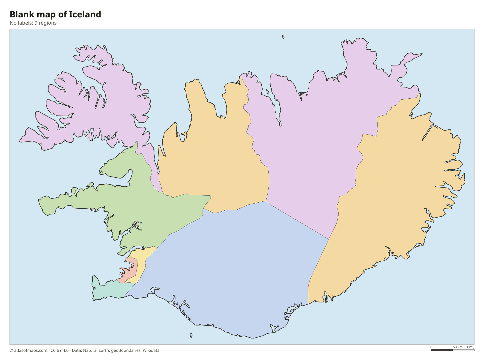
The map shows 9 regions: Iceland's 8 traditional regions, such as the Westfjords, the Southern Peninsula and Austurland in the east, with the city of Reykjavík drawn separately from the surrounding Capital Region. Local government is based on municipalities.
| Region | Capital | Population | Area |
|---|---|---|---|
| Austurland | Egilsstaðir | 11,227 | 21,986 km² (8,489 sq mi) |
| Capital | Reykjavík | 233,034 | 1,062 km² (410 sq mi) |
| Northeastern | Akureyri | 30,600 | 21,968 km² (8,482 sq mi) |
| Northwestern | Sauðárkrókur | 7,322 | 12,737 km² (4,918 sq mi) |
| Reykjavík | Reykjavík | 138,772 | 244 km² (94 sq mi) |
| Southern | Selfoss | 28,399 | 24,256 km² (9,365 sq mi) |
| Southern Peninsula | Keflavík | 27,829 | 829 km² (320 sq mi) |
| Western | Borgarnes | 17,541 | 9,554 km² (3,689 sq mi) |
| Westfjords | Ísafjörður | 7,379 | 9,409 km² (3,633 sq mi) |
Population from Wikidata (latest figure available for each region).
Blank and coloring maps of Iceland
Blank map of Iceland

Coloring map of Iceland

Geography of Iceland
Iceland covers 103,004 km² (39,770 sq mi) and sits on the Mid-Atlantic Ridge, where the North American and Eurasian plates pull apart. This makes it highly volcanic, with volcanoes such as Hekla, Katla and Eyjafjallajökull, whose 2010 eruption disrupted air travel across Europe. Since 2021, eruptions have repeatedly broken out on the Reykjanes Peninsula near Reykjavík. Ice caps cover about a tenth of the country; the largest, Vatnajökull, holds Hvannadalshnúkur, the highest point at 2,110 m (6,923 ft). The interior highlands are a cold, empty plateau of lava fields and gravel deserts.
Rivers fed by glaciers rush across the island and form powerful waterfalls such as Gullfoss, Dettifoss and Skógafoss. The Thjórsá is the longest river, and Thingvallavatn is the largest natural lake, lying in the rift valley of Thingvellir National Park. Hot springs and geysers are common: the Geysir hot spring gave its name to all geysers, and geothermal water heats most homes. Thanks to the North Atlantic Current, the climate is milder than the latitude suggests, with cool summers, windy winters and very long days around midsummer.
Fun facts
- Grímsey, a small island off the north coast, is the only part of Iceland that lies on the Arctic Circle.
- The island of Surtsey rose out of the sea off the south coast in a volcanic eruption that began in 1963.
- Reykjavík is the northernmost capital of a sovereign country in the world.
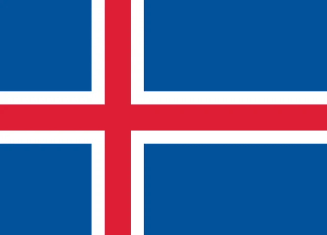
Flag of Iceland
Iceland's flag has a blue field with a red Nordic cross outlined in white. The cross reaches all four edges, and its upright bar is set closer to the pole than to the far end, like the crosses on the other Nordic flags. The flag has an 18:25 ratio.
Frequently asked questions
Is Iceland in Europe or North America?
Iceland is usually counted as part of Europe. Geologically it straddles the Mid-Atlantic Ridge, so its western part sits on the North American plate and its eastern part on the Eurasian plate.
How many regions does Iceland have?
The map shows 9 regions: the 8 traditional regions of Iceland, used mainly for statistics, plus Reykjavík as a separate unit. The capital, Reykjavík, lies in the southwest.
What ocean is Iceland in?
Iceland lies in the North Atlantic Ocean, close to where it meets the Arctic Ocean. The Greenland Sea and the Norwegian Sea border it to the north and east.
What is the capital of Iceland?
The capital of Iceland is Reykjavík.
What countries border Iceland?
Iceland has no land borders with other countries: all its borders are at sea.
What language is spoken in Iceland?
The official language is Icelandic.
Can I print the map of Iceland?
Yes. Every map on this page can be downloaded for free as PNG or PDF (US Letter) and printed, including the blank map and the coloring map. Please credit the source (Atlas of Maps, CC BY 4.0).
Use this map
You can download, print and share this map for free, in class, in school projects, in presentations and on websites, as long as you credit the source: Map of Iceland · Atlas of Maps (atlasofmaps.com), license CC BY 4.0.
See also: Map of Europe · World map