Map of Jamaica with regions and capitals
Jamaica is an island country in the Caribbean Sea, part of the Greater Antilles. It lies south of Cuba and west of Hispaniola, from which it is separated by the Jamaica Channel, and it has no land borders. The political map shows its 14 regions, the capital, Kingston, and major cities.

- Capital
- Kingston
- Population
- 2.7 million (2011)
- Area
- 10,992 km² (4,244 sq mi)
- Population density
- 245 per km² (636 per sq mi)
- Official languages
- English and Jamaican Patois
- Currency
- Jamaican dollar
- Demonym
- Jamaican
- Regions
- 14
- Highest point
- Blue Mountain Peak (2,256 m (7,402 ft))
- Calling code
- +1876
- Internet domain
- .jm
Where is Jamaica?
Jamaica is an island country in the Caribbean Sea, part of the Greater Antilles. It lies south of Cuba and west of Hispaniola, from which it is separated by the Jamaica Channel, and it has no land borders.

Regions of Jamaica and their capitals
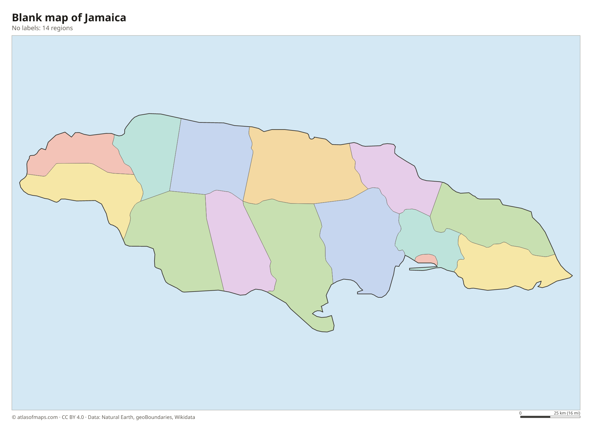
Jamaica is divided into 14 parishes, such as Kingston, Saint Andrew, Saint Catherine and Saint James, home to Montego Bay. The parishes are grouped into three historic counties, Cornwall, Middlesex and Surrey, which play no role in government today.
| Region | Capital | Population | Area |
|---|---|---|---|
| Clarendon | May Pen | 258,643 | 1,196 km² (462 sq mi) |
| Hanover | Lucea | 69,780 | 430 km² (166 sq mi) |
| Kingston | Kingston | 89,186 | 25 km² (9.7 sq mi) |
| Manchester | Mandeville | 193,694 | 830 km² (320 sq mi) |
| Portland | Port Antonio | 84,972 | 814 km² (314 sq mi) |
| Saint Andrew | Half Way Tree | 583,718 | 455 km² (176 sq mi) |
| Saint Ann | Saint Ann's Bay | 175,310 | 1,213 km² (468 sq mi) |
| Saint Catherine | Spanish Town | 542,763 | 1,192 km² (460 sq mi) |
| Saint Elizabeth | Black River | 153,201 | 1,212 km² (468 sq mi) |
| Saint James | Montego Bay | 188,656 | 595 km² (230 sq mi) |
| Saint Mary | Port Maria La luz | 116,498 | 610 km² (236 sq mi) |
| Saint Thomas | Morant Bay | 94,485 | 743 km² (287 sq mi) |
| Trelawny | Falmouth | 77,427 | 874 km² (337 sq mi) |
| Westmoreland | Savanna-la-Mar | 146,205 | 807 km² (312 sq mi) |
Population from Wikidata (latest figure available for each region).
Blank and coloring maps of Jamaica
Blank map of Jamaica

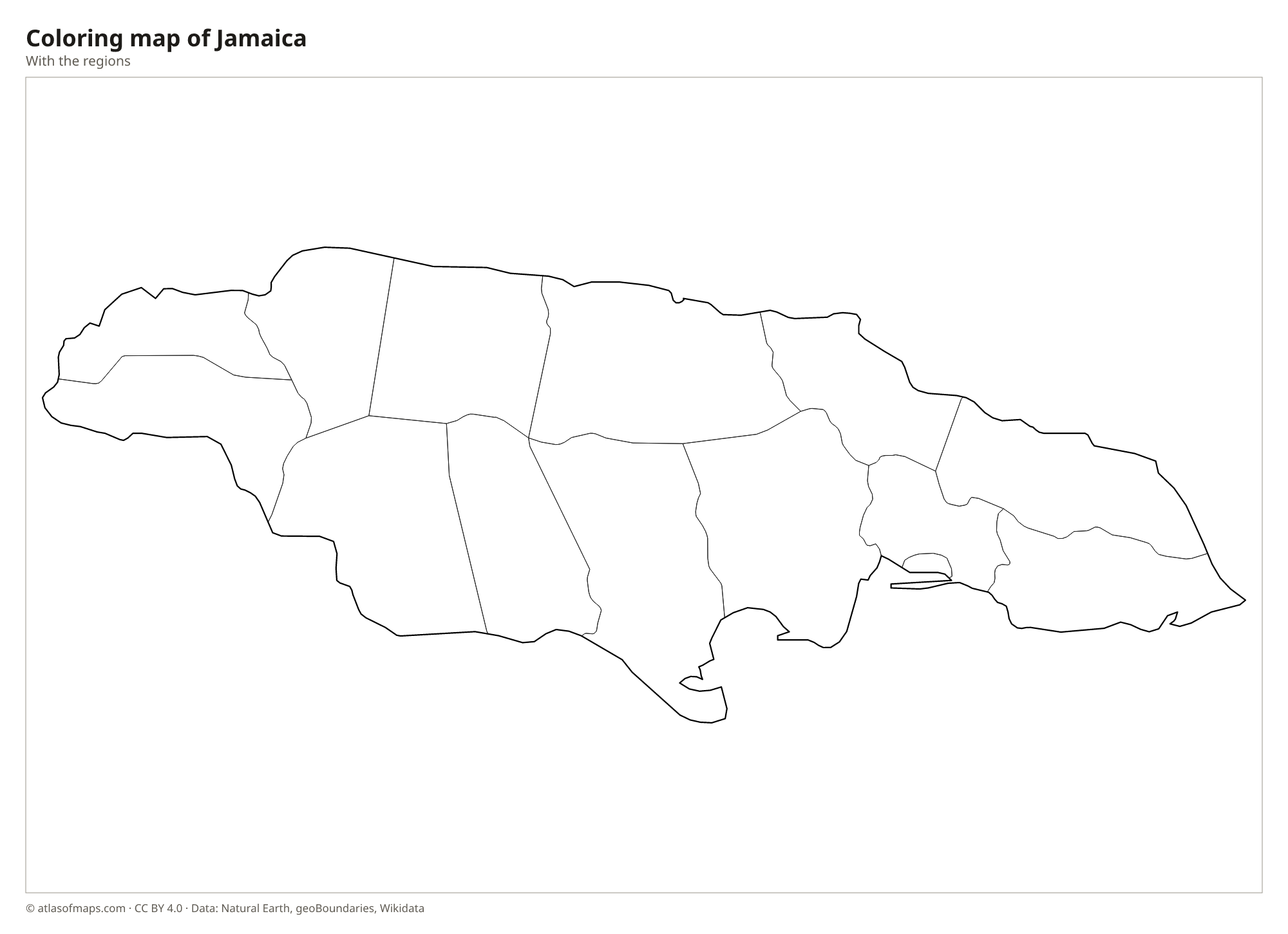
Coloring map of Jamaica

Geography of Jamaica
Jamaica covers 10,992 km² (4,244 sq mi) and is the third-largest island in the Caribbean, after Cuba and Hispaniola. Mountains run along its length, highest in the east, where the Blue Mountains rise to Blue Mountain Peak, the highest point at 2,256 m (7,402 ft). Much of the center and west is a limestone plateau full of sinkholes and caves; in Cockpit Country the rock has weathered into a maze of steep, rounded hills. Coastal plains, wider in the south around Kingston and Spanish Town, hold much of the farmland.
Jamaica has many short rivers, and in some limestone areas the water drains underground. The Black River in the southwest is one of the longest, and the Rio Grande in Portland is known for bamboo rafting. Waterfalls such as Dunn's River Falls near Ocho Rios tumble down toward the beach. Kingston Harbour, protected by the long sandspit of the Palisadoes, is a large natural harbor. The climate is tropical, hot and humid on the coast and cooler in the mountains, and hurricanes are possible from June to November.
Fun facts
- Blue Mountain coffee is grown on the cool, misty slopes of the Blue Mountains in eastern Jamaica.
- Port Royal, near Kingston, was a notorious pirate base until much of the town sank into the sea during an earthquake in 1692.
Flag of Jamaica
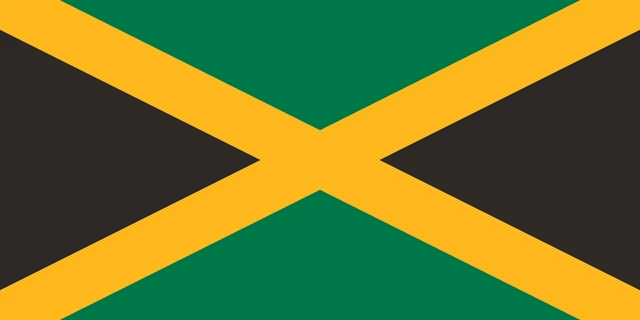
Jamaica's flag has a gold diagonal cross, or saltire, that divides it into four triangles. The triangles at the top and bottom are green, and the triangles on the pole side and the far side are black. The flag has a 1:2 ratio, and it is often noted as the only national flag with no red, white or blue.
Frequently asked questions
What countries are near Jamaica?
Jamaica has no land borders. Its closest neighbors are Cuba to the north, Haiti to the east across the Jamaica Channel and the Cayman Islands to the northwest.
How many parishes does Jamaica have?
Jamaica has 14 parishes. Kingston and Saint Andrew together form the capital area, and Saint James on the north coast includes the city of Montego Bay.
What is the capital of Jamaica?
The capital and largest city is Kingston, on the southeast coast, beside a large natural harbor sheltered by the Palisadoes sandspit.
What countries border Jamaica?
Jamaica has no land borders with other countries: all its borders are at sea.
How many regions does Jamaica have?
Jamaica is divided into 14 regions: Clarendon, Hanover, Kingston, Manchester, Portland, Saint Andrew, Saint Ann, Saint Catherine, Saint Elizabeth, Saint James, Saint Mary, Saint Thomas, Trelawny, and Westmoreland.
What language is spoken in Jamaica?
The official languages are English and Jamaican Patois.
Can I print the map of Jamaica?
Yes. Every map on this page can be downloaded for free as PNG or PDF (US Letter) and printed, including the blank map and the coloring map. Please credit the source (Atlas of Maps, CC BY 4.0).
Use this map
You can download, print and share this map for free, in class, in school projects, in presentations and on websites, as long as you credit the source: Map of Jamaica · Atlas of Maps (atlasofmaps.com), license CC BY 4.0.
See also: Map of North America · Map of the Caribbean · World map