Map of Kiribati
Kiribati is an island country in the central Pacific Ocean, in the regions of Micronesia and Polynesia. Its widely scattered atolls straddle both the equator and the 180th meridian, lying northeast of Australia and south of Hawaii.

- Capital
- South Tarawa
- Population
- 134,518 (2024)
- Area
- 811 km² (313 sq mi)
- Population density
- 166 per km² (430 per sq mi)
- Official languages
- English and Gilbertese
- Currency
- Kiribati dollar and Australian dollar
- Demonym
- I-Kiribati
- Highest point
- Banaba Island (81 m (266 ft))
- Calling code
- +686
- Internet domain
- .ki
- Official name
- Republic of Kiribati
Where is Kiribati?
Kiribati is an island country in the central Pacific Ocean, in the regions of Micronesia and Polynesia. Its widely scattered atolls straddle both the equator and the 180th meridian, lying northeast of Australia and south of Hawaii.

Blank and coloring maps of Kiribati
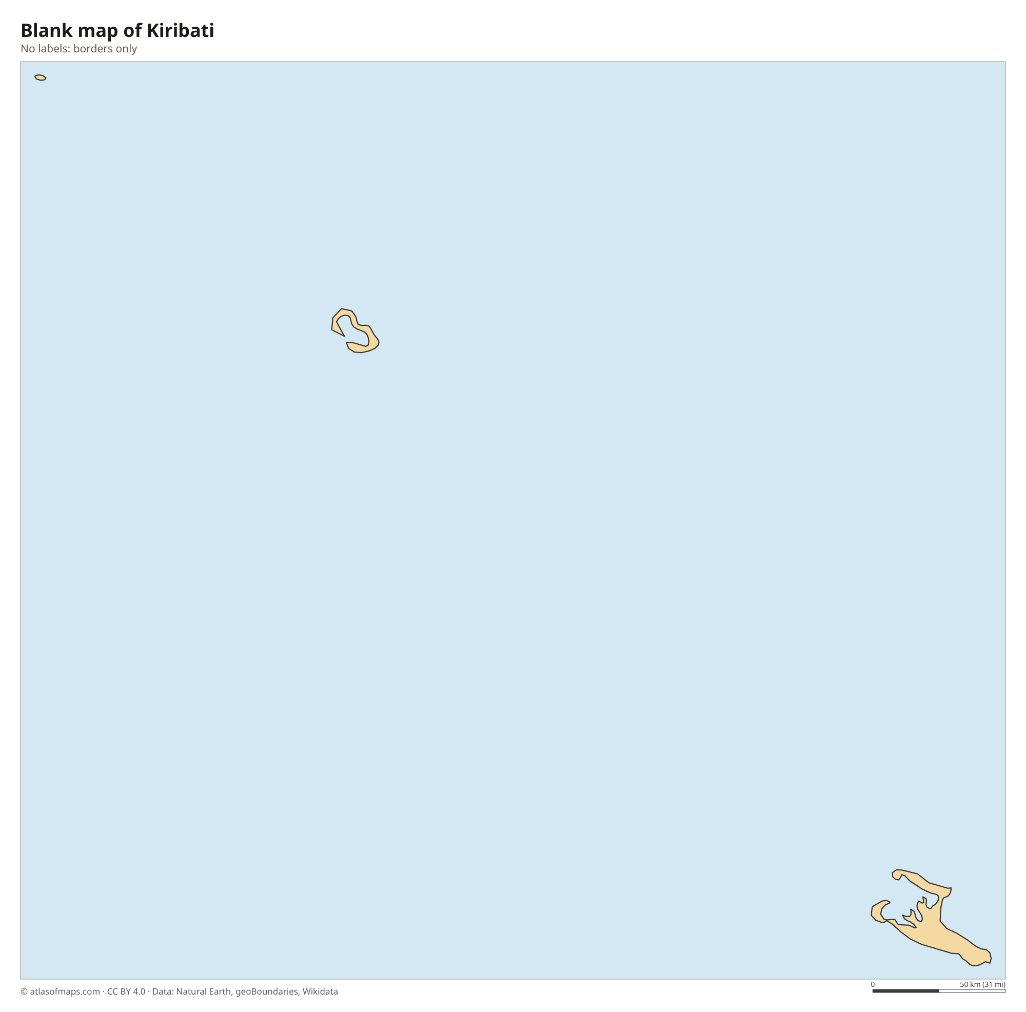
Blank map of Kiribati

Coloring map of Kiribati

Geography of Kiribati
Kiribati is made up of three widely separated groups of islands: the Gilbert Islands in the west, the Phoenix Islands in the middle and the Line Islands in the east. Its land covers just 811 km² (313 sq mi), but the islands are spread across more than 3,000 km (1,900 mi) of ocean from west to east. Almost all of them are low coral atolls, rings of sandy islets around shallow lagoons, rising only a few meters above sea level. The exception is Banaba, a raised coral island whose highest point is 81 m (266 ft).
There are no rivers or hills on the atolls; fresh water comes from rain and from thin layers of groundwater beneath the islands. Kiritimati, or Christmas Island, in the Line Islands, is the largest coral atoll in the world by land area. The Phoenix Islands are almost uninhabited and form one of the largest marine protected areas in the Pacific. The climate is hot and humid all year, with rainfall that varies greatly between islands. Because the land is so low, rising sea levels are a serious threat.
Fun facts
- Kiribati is the only country that lies in all four hemispheres: north and south of the equator and east and west of the 180th meridian.
- In 1995, Kiribati moved the International Date Line eastward so that all its islands share the same calendar day.
- The name Kiribati is pronounced roughly KIR-ee-bas, because ti stands for an s sound in the Gilbertese language.
Flag of Kiribati
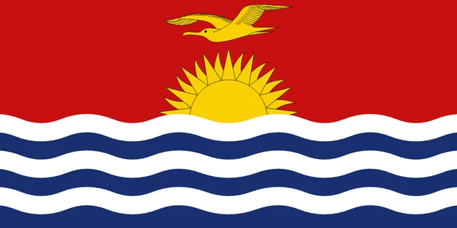
The flag of Kiribati is split horizontally. The upper half is red with a golden frigatebird flying over a golden sun with 17 rays rising from the sea. The lower half shows the ocean as three white wavy stripes on blue. The flag has a 1:2 ratio.
Frequently asked questions
What ocean is Kiribati in?
Kiribati is in the central Pacific Ocean. Its islands lie on both sides of the equator, spread over thousands of kilometers of ocean south of Hawaii and northeast of Australia.
What is the capital of Kiribati?
The capital is South Tarawa, a chain of islets on the southern rim of Tarawa Atoll in the Gilbert Islands. About half of the country's people live there.
Is Kiribati the first country to see the new year?
Yes. The Line Islands, including Kiritimati, use a time zone 14 hours ahead of UTC, so they are among the first inhabited places on Earth to welcome each new year.
What countries border Kiribati?
Kiribati has no land borders with other countries: all its borders are at sea.
What language is spoken in Kiribati?
The official languages are English and Gilbertese.
Can I print the map of Kiribati?
Yes. Every map on this page can be downloaded for free as PNG or PDF (US Letter) and printed, including the blank map and the coloring map. Please credit the source (Atlas of Maps, CC BY 4.0).
Use this map
You can download, print and share this map for free, in class, in school projects, in presentations and on websites, as long as you credit the source: Map of Kiribati · Atlas of Maps (atlasofmaps.com), license CC BY 4.0.
See also: Map of Oceania · World map