Map of Lesotho with regions and capitals
Lesotho is a small, landlocked kingdom in southern Africa. It is completely surrounded by South Africa, making it one of only three countries in the world that lie entirely within another country, along with San Marino and Vatican City. The political map shows its 10 regions, the capital, Maseru, and major cities.

- Capital
- Maseru
- Population
- 2 million (2016)
- Area
- 30,355 km² (11,720 sq mi)
- Population density
- 66 per km² (171 per sq mi)
- Official languages
- English and Sesotho
- Currency
- loti and rand
- Demonym
- Mosotho
- Regions
- 10
- Highest point
- Thabana Ntlenyana (3,482 m (11,424 ft))
- Calling code
- +266
- Internet domain
- .ls
- Official name
- Kingdom of Lesotho
Where is Lesotho?
Lesotho is a small, landlocked kingdom in southern Africa. It is completely surrounded by South Africa, making it one of only three countries in the world that lie entirely within another country, along with San Marino and Vatican City.
Neighboring countries: South Africa.

Regions of Lesotho and their capitals
Lesotho is divided into 10 districts, such as Maseru, Leribe, Berea and Mokhotlong. The capital, Maseru, lies on the western border with South Africa in the district of the same name.
| Region | Capital | Population | Area |
|---|---|---|---|
| Berea | Teyateyaneng | 262,616 | 2,222 km² (858 sq mi) |
| Butha-Buthe | Butha-Buthe | 118,242 | 1,767 km² (682 sq mi) |
| Leribe | Hlotse | 337,521 | 2,828 km² (1,092 sq mi) |
| Mafeteng | Mafeteng | 178,222 | 2,119 km² (818 sq mi) |
| Maseru | Maseru | 519,186 | 4,279 km² (1,652 sq mi) |
| Mohale's Hoek | Mohale's Hoek | 165,590 | 3,530 km² (1,363 sq mi) |
| Mokhotlong | Mokhotlong | 100,442 | 4,075 km² (1,573 sq mi) |
| Qacha's Nek | Qacha's Nek | 74,566 | 2,349 km² (907 sq mi) |
| Quthing | Quthing | 115,469 | 2,916 km² (1,126 sq mi) |
| Thaba-Tseka | Thaba-Tseka | 135,347 | 4,270 km² (1,649 sq mi) |
Population from Wikidata (latest figure available for each region).
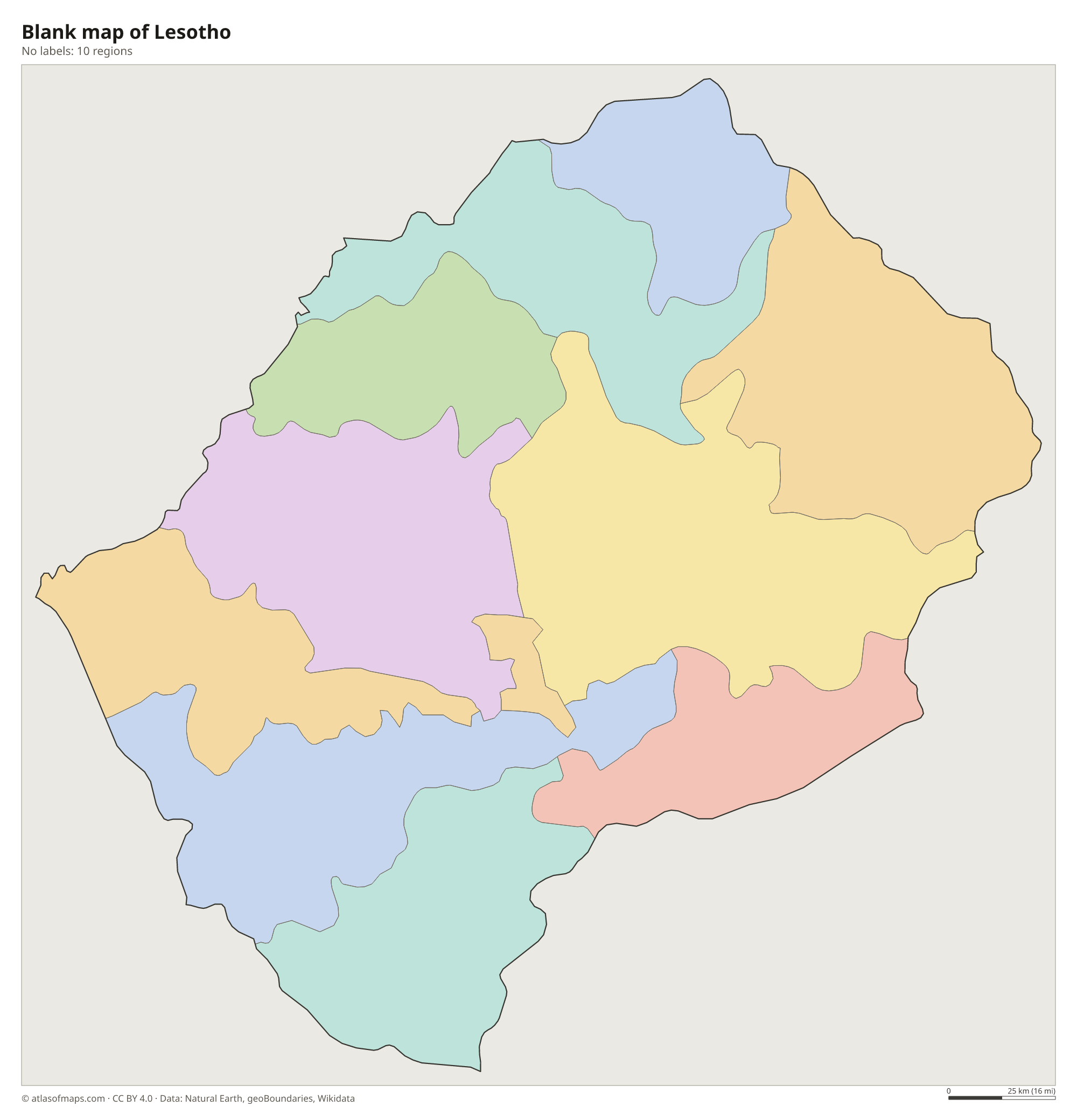
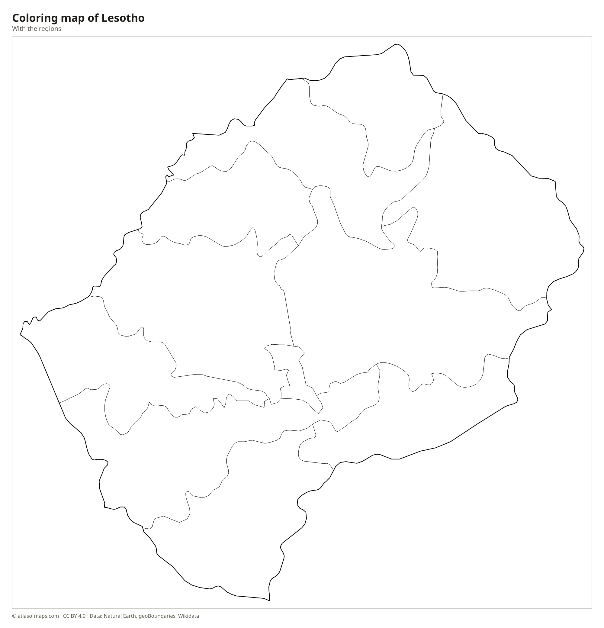
Blank and coloring maps of Lesotho
Blank map of Lesotho

Coloring map of Lesotho

Geography of Lesotho
Lesotho covers 30,355 km² (11,720 sq mi) and is the only independent country that lies entirely above 1,000 m (3,281 ft). Its lowest point, about 1,400 m (4,600 ft) above sea level, is the highest low point of any country. Most of the land is taken up by the Maloti Mountains and, along the eastern border, the Drakensberg escarpment. Thabana Ntlenyana, the highest point at 3,482 m (11,424 ft), is also the highest peak in southern Africa. The western lowlands, still high by most standards, hold most of the farmland, towns and people.
The Senqu River, which becomes the Orange River in South Africa, rises in the highlands of Lesotho, and the Mohokare (Caledon) River forms much of the western border. Dams built for the Lesotho Highlands Water Project, such as Katse and Mohale, store water that is sold to South Africa. Because of the altitude, the climate is cooler than in the surrounding lowlands: summers are mild and rainy, and winters are dry, with frost and snow in the mountains. Lesotho even has a ski resort, Afriski, in the northeast.
Fun facts
- Sani Pass, a steep dirt road with many hairpin bends, climbs the Drakensberg escarpment from South Africa into Lesotho.
- The Basotho blanket, worn like a cape, is traditional clothing suited to the cold highland climate.
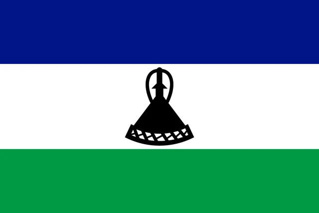
Flag of Lesotho
Lesotho's flag has three horizontal stripes: blue at the top, a wider white stripe in the middle and green at the bottom. In the center of the white stripe is a black Basotho hat, the mokorotlo, a traditional cone-shaped straw hat with a knob on top. The flag has a 2:3 ratio.
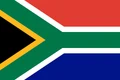
Countries bordering Lesotho
Frequently asked questions
What country surrounds Lesotho?
Lesotho is completely surrounded by South Africa. It shares borders with the South African provinces of KwaZulu-Natal, the Free State and the Eastern Cape.
How many districts does Lesotho have?
Lesotho has 10 districts: Berea, Butha-Buthe, Leribe, Mafeteng, Maseru, Mohale's Hoek, Mokhotlong, Qacha's Nek, Quthing and Thaba-Tseka. The capital, Maseru, is in Maseru District.
Why is Lesotho called the Kingdom in the Sky?
Lesotho is a monarchy, and all of its territory lies more than 1,000 m (3,281 ft) above sea level. Its highest peaks rise above 3,000 m (9,843 ft), among the highest in southern Africa.
What is the capital of Lesotho?
The capital of Lesotho is Maseru.
What countries border Lesotho?
Lesotho shares land borders with South Africa.
How many regions does Lesotho have?
Lesotho is divided into 10 regions: Berea, Butha-Buthe, Leribe, Mafeteng, Maseru, Mohale's Hoek, Mokhotlong, Qacha's Nek, Quthing, and Thaba-Tseka.
What language is spoken in Lesotho?
The official languages are English and Sesotho.
Can I print the map of Lesotho?
Yes. Every map on this page can be downloaded for free as PNG or PDF (US Letter) and printed, including the blank map and the coloring map. Please credit the source (Atlas of Maps, CC BY 4.0).
Use this map
You can download, print and share this map for free, in class, in school projects, in presentations and on websites, as long as you credit the source: Map of Lesotho · Atlas of Maps (atlasofmaps.com), license CC BY 4.0.
See also: Map of Africa · World map