Map of Macau
Macau (also spelled Macao) is a special administrative region of China on the western side of the Pearl River Delta. It borders the city of Zhuhai in Guangdong province and faces the South China Sea, about 60 km (37 mi) west of Hong Kong.
Special administrative region of China.

- Population
- 682,100 (2021)
- Area
- 33 km² (13 sq mi)
- Population density
- 20,670 per km² (53,534 per sq mi)
- Official languages
- Portuguese, Standard Chinese, and Cantonese
- Currency
- Macanese pataca and Hong Kong dollar
- Demonym
- Macanese
- Highest point
- Alto de Coloane (172 m (564 ft))
- Calling code
- +853
- Internet domain
- .mo
- Also known as
- Macao
Where is Macau?
Macau (also spelled Macao) is a special administrative region of China on the western side of the Pearl River Delta. It borders the city of Zhuhai in Guangdong province and faces the South China Sea, about 60 km (37 mi) west of Hong Kong.

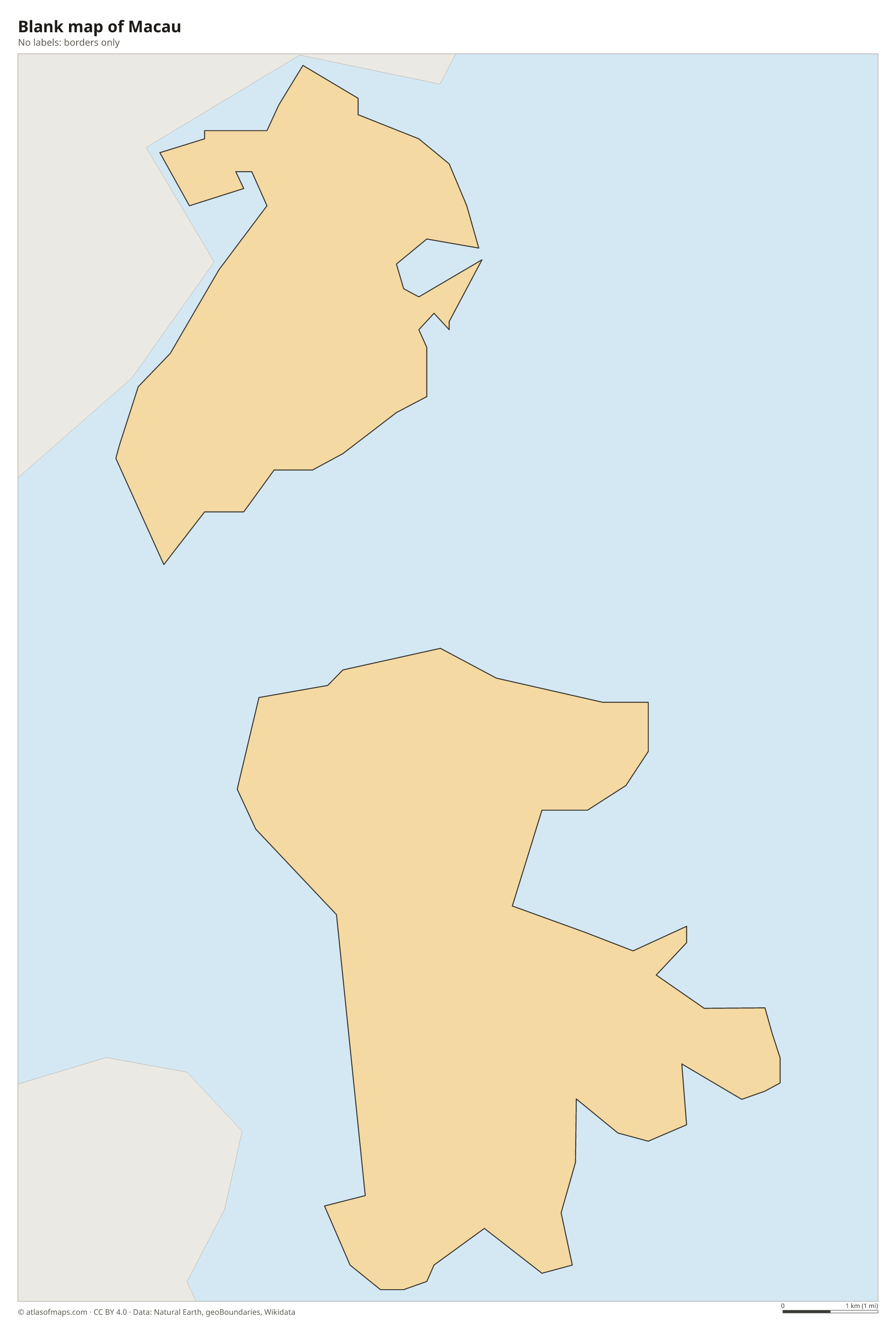
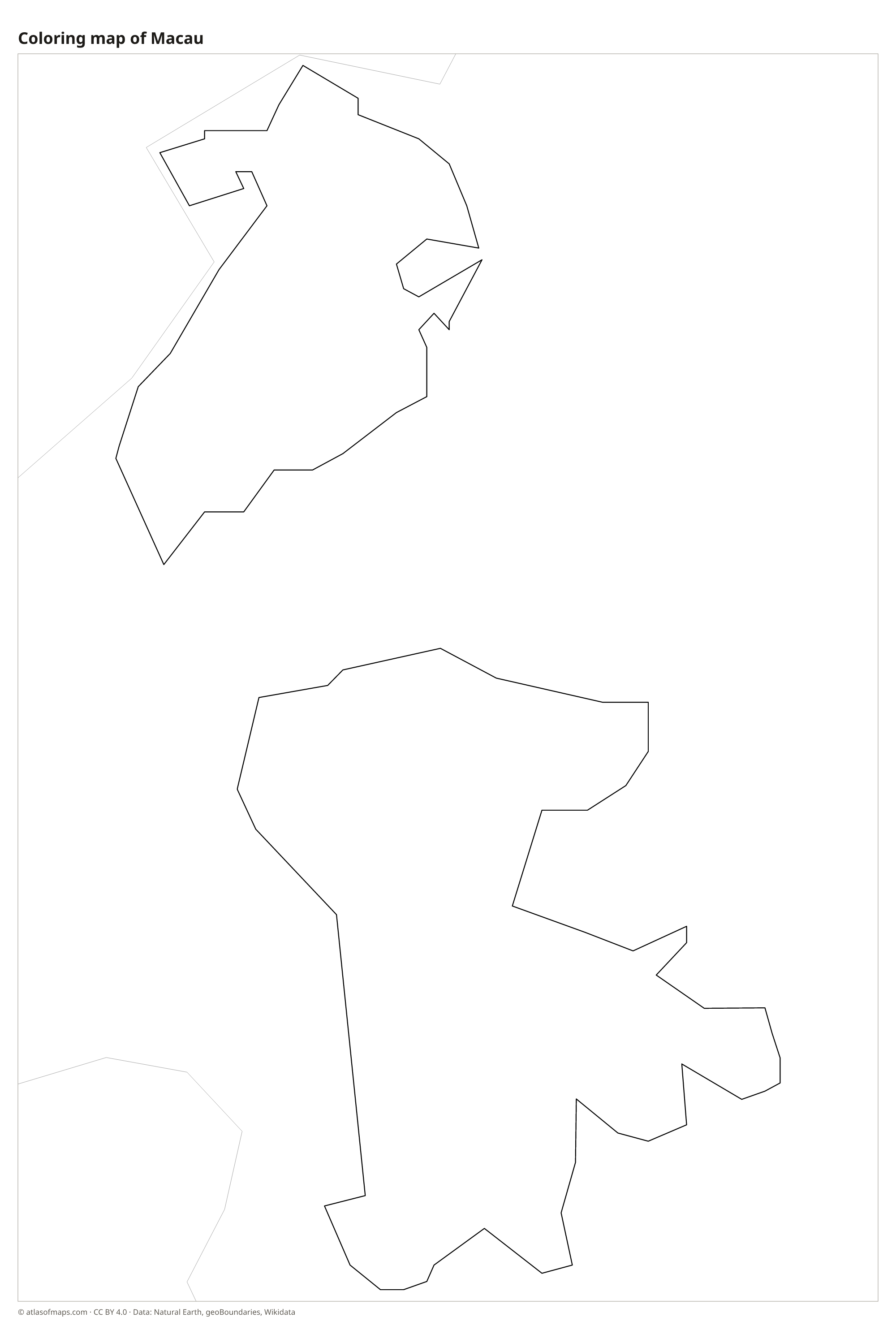
Blank and coloring maps of Macau
Blank map of Macau

Coloring map of Macau

Geography of Macau
Macau covers only 33 km² (13 sq mi), and much of that area is reclaimed land. It is made up of the Macau Peninsula, which is attached to the Chinese mainland, and the islands of Taipa and Coloane, which a strip of reclaimed land called Cotai has joined into one, now lined with large casino resorts. The landscape is mostly low, with a few granite hills. The highest point is Alto de Coloane, on Coloane, whose summit is topped by a tall white statue of the sea goddess A-Ma.
Macau sits at the mouth of the Pearl River estuary, and the shallow waters around it are often brown with river silt. Several bridges link the peninsula to Taipa, and the Hong Kong-Zhuhai-Macau Bridge, opened in 2018, crosses the estuary to Hong Kong. Small hills such as Guia Hill, crowned by an old fortress and lighthouse, rise above the crowded streets of the peninsula. The climate is humid subtropical, with hot, rainy summers, mild winters and typhoons mainly in summer and early autumn.
Fun facts
- Macau was run by Portugal for more than 400 years before it returned to China in 1999, and it is often called the last European colony in Asia.
- Land reclamation has roughly tripled Macau's area since the early 20th century.
- With 682,100 people (2021) on 33 km², Macau is one of the most densely populated places in the world.
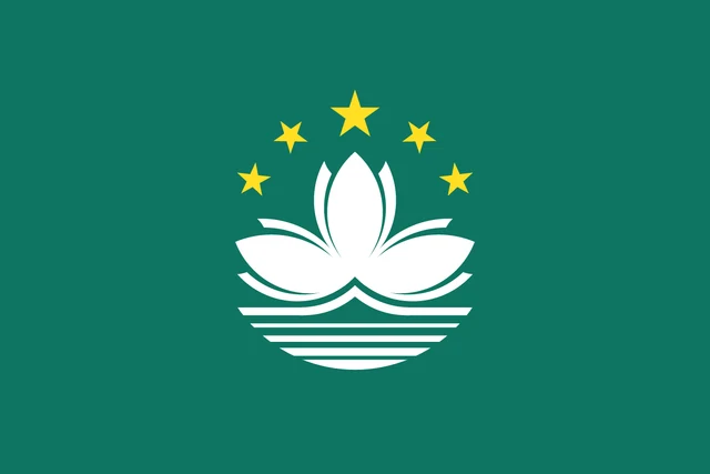
Flag of Macau
The flag of Macau is green with a white lotus flower in the center. The lotus has three petals and rises above a stylized white bridge and white lines of water. An arc of five gold five-pointed stars curves over the flower, with the largest star in the middle. The flag has a 2:3 ratio.
Frequently asked questions
Is Macau a country?
No. Macau is a special administrative region of China. It has its own currency, the Macanese pataca, its own laws and border controls, while China is responsible for its defense and foreign affairs.
Where is Macau located?
Macau is on the south coast of China, on the western side of the Pearl River Delta. It borders Zhuhai in Guangdong province and lies across the estuary from Hong Kong.
What languages are spoken in Macau?
Chinese and Portuguese are the official languages. Cantonese is the everyday language of most residents, Standard Chinese (Mandarin) is also widely used, and many street signs are in both Chinese and Portuguese.
What countries border Macau?
Macau has no land borders with other countries: all its borders are at sea.
Can I print the map of Macau?
Yes. Every map on this page can be downloaded for free as PNG or PDF (US Letter) and printed, including the blank map and the coloring map. Please credit the source (Atlas of Maps, CC BY 4.0).
Use this map
You can download, print and share this map for free, in class, in school projects, in presentations and on websites, as long as you credit the source: Map of Macau · Atlas of Maps (atlasofmaps.com), license CC BY 4.0.
See also: Map of Asia · World map