Map of Madagascar
Madagascar is a large island country in the Indian Ocean, off the southeast coast of Africa. The Mozambique Channel separates it from Mozambique on the mainland, and it has no land borders with any other country. The political map shows its regions, the capital, Antananarivo, and major cities.

- Capital
- Antananarivo
- Population
- 32 million (2024)
- Area
- 587,295 km² (226,756 sq mi)
- Population density
- 54 per km² (141 per sq mi)
- Official languages
- Malagasy and French
- Currency
- ariary
- Demonym
- Malagasy
- Highest point
- Maromokotro (2,876 m (9,436 ft))
- Calling code
- +261
- Internet domain
- .mg
Where is Madagascar?
Madagascar is a large island country in the Indian Ocean, off the southeast coast of Africa. The Mozambique Channel separates it from Mozambique on the mainland, and it has no land borders with any other country.

Regions of Madagascar and their capitals
Madagascar is divided into regions, which the map shows using Natural Earth boundaries. These lines may not reflect the latest territorial reform, so the number and borders of the regions on the map can differ from the current official ones.
The divisions on the map come from Natural Earth and may not reflect the latest territorial reform in Madagascar.
| Region | Capital | Population | Area |
|---|---|---|---|
| Alaotra-Mangoro | Toamasina | 2,855,600 | 71,911 km² (27,765 sq mi) |
| Amoron'i Mania | — | — | — |
| Analamanga | Antananarivo | — | 58,283 km² (22,503 sq mi) |
| Analanjirofo | Toamasina | 2,855,600 | 71,911 km² (27,765 sq mi) |
| Androy | — | — | — |
| Anosy | — | — | — |
| Atsimo-Andrefana | — | — | — |
| Atsimo-Atsinanana | — | — | — |
| Atsinanana | Toamasina | 2,855,600 | 71,911 km² (27,765 sq mi) |
| Betsiboka | — | — | — |
| Boeny | — | — | — |
| Bongolava | Antananarivo | — | 58,283 km² (22,503 sq mi) |
| Diana | — | — | — |
| Haute Matsiatra | — | — | — |
| Ihorombe | — | — | — |
| Itasy | Antananarivo | — | 58,283 km² (22,503 sq mi) |
| Melaky | — | — | — |
| Menabe | — | — | — |
| Sava | — | — | — |
| Sofia | — | — | — |
| Vakinankaratra | Antananarivo | — | 58,283 km² (22,503 sq mi) |
| Vatovavy-Fitovinany | — | — | — |
Population from Wikidata (latest figure available for each region).
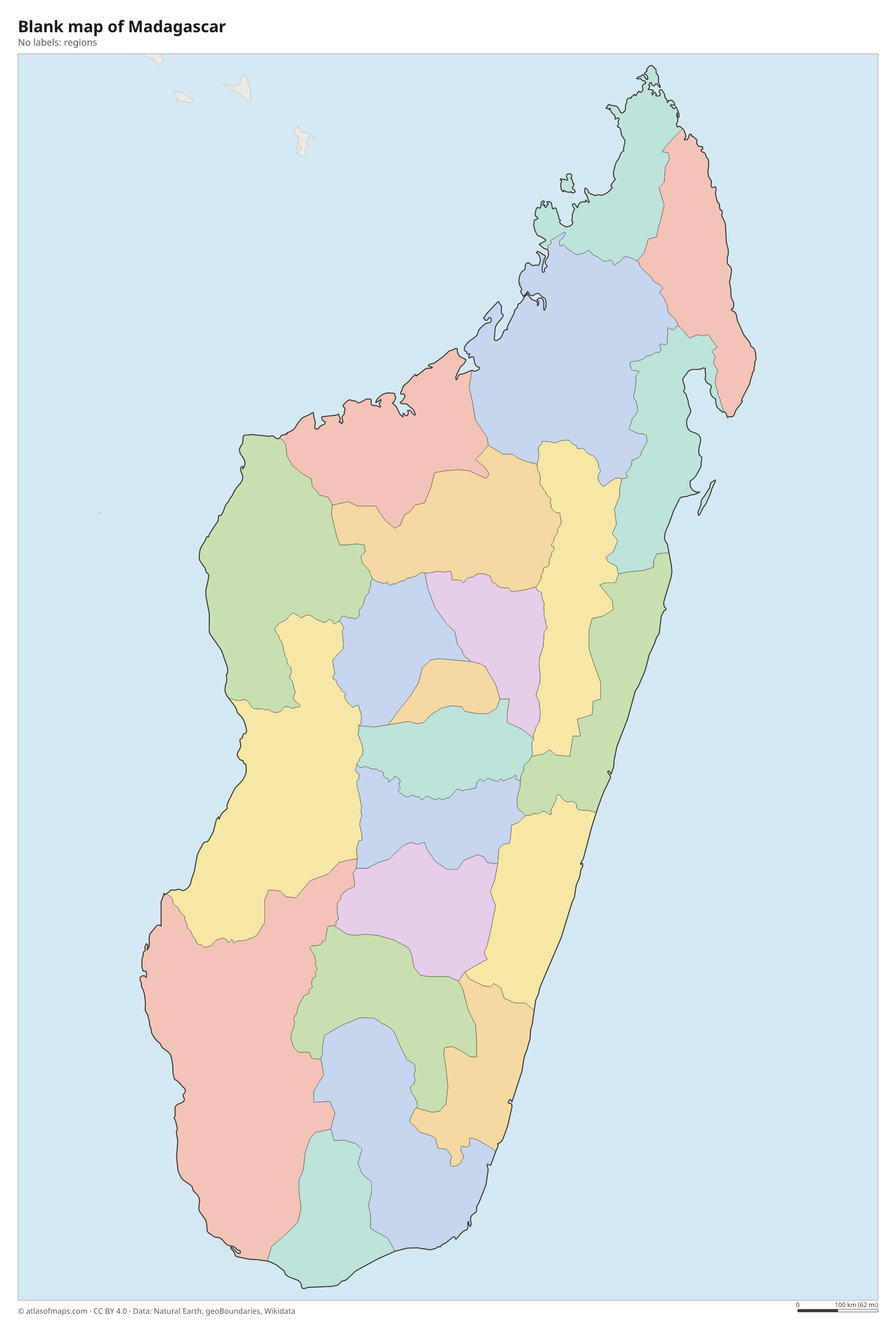
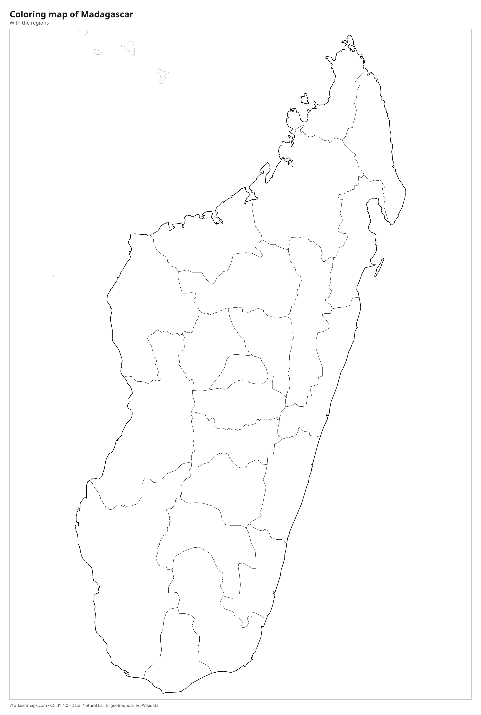
Blank and coloring maps of Madagascar
Blank map of Madagascar

Coloring map of Madagascar

Geography of Madagascar
Madagascar is the world's fourth-largest island, covering 587,295 km² (226,756 sq mi). A high central plateau runs down the length of the island, with rugged hills, rice terraces and the capital, Antananarivo. In the north, the Tsaratanana Massif holds the highest peak, Maromokotro, at 2,876 m (9,436 ft). To the east, the plateau drops steeply to a narrow coastal plain, while to the west it slopes gently down to wide plains and limestone plateaus, including the razor-sharp pinnacles of the Tsingy de Bemaraha.
The east side catches moist trade winds and is covered in tropical rainforest, while the west is drier, with deciduous forests and the famous baobab trees near Morondava. The far south is semi-arid, home to a spiny forest of thorny plants found nowhere else. The longest rivers flow west to the Mozambique Channel; the Betsiboka carries so much red soil to the sea that its estuary looks red from space. Cyclones often strike the island during the southern summer, mostly from the Indian Ocean side.
Fun facts
- Madagascar has been cut off from other landmasses for tens of millions of years, so most of its plants and animals, including its many species of lemurs, are found nowhere else.
- The Avenue of the Baobabs near Morondava is a dirt road lined with giant baobab trees that are hundreds of years old.
- Only Greenland, New Guinea and Borneo are larger islands than Madagascar.
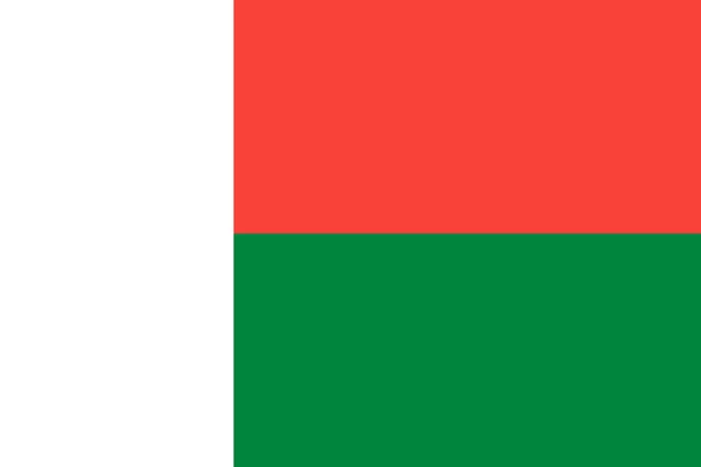
Flag of Madagascar
The flag of Madagascar has a white vertical band along the hoist that takes up one third of its length. The rest of the flag is split into two equal horizontal bands, red on top and green below. There is no emblem, and the flag has a 2:3 ratio.
Frequently asked questions
Is Madagascar part of Africa?
Yes. Madagascar is an African country and a member of the African Union, even though it is an island in the Indian Ocean, separated from the mainland by the Mozambique Channel.
What ocean is Madagascar in?
Madagascar is in the western Indian Ocean. Its west coast faces the Mozambique Channel, an arm of the Indian Ocean, and its east coast faces the open ocean.
What is the capital of Madagascar?
The capital and largest city is Antananarivo, often shortened to Tana. It is spread over hills and rice fields on the central highlands, far above the coasts.
What countries border Madagascar?
Madagascar has no land borders with other countries: all its borders are at sea.
What language is spoken in Madagascar?
The official languages are Malagasy and French.
Can I print the map of Madagascar?
Yes. Every map on this page can be downloaded for free as PNG or PDF (US Letter) and printed, including the blank map and the coloring map. Please credit the source (Atlas of Maps, CC BY 4.0).
Use this map
You can download, print and share this map for free, in class, in school projects, in presentations and on websites, as long as you credit the source: Map of Madagascar · Atlas of Maps (atlasofmaps.com), license CC BY 4.0.
See also: Map of Africa · World map