Map of Malta
Malta is a small island country in the central Mediterranean Sea, south of the Italian island of Sicily and north of Libya. It has no land borders; its closest neighbor is Italy, across the Malta Channel.

- Capital
- Valletta
- Population
- 553,214 (2023)
- Area
- 316 km² (122 sq mi)
- Population density
- 1,751 per km² (4,534 per sq mi)
- Official languages
- Maltese and English
- Currency
- euro
- Demonym
- Maltese
- Highest point
- Ta' Dmejrek (253 m (830 ft))
- Calling code
- +356
- Internet domain
- .mt
- Official name
- Republic of Malta
Where is Malta?
Malta is a small island country in the central Mediterranean Sea, south of the Italian island of Sicily and north of Libya. It has no land borders; its closest neighbor is Italy, across the Malta Channel.

Blank and coloring maps of Malta
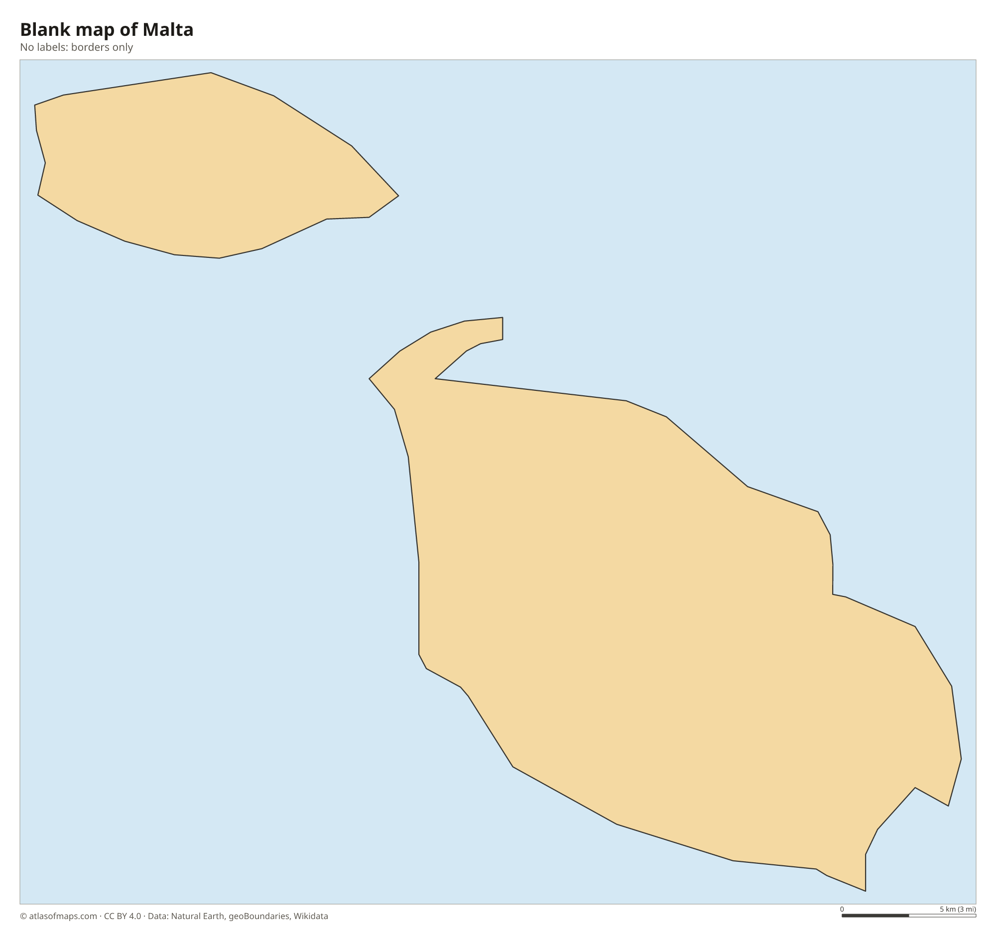
Blank map of Malta

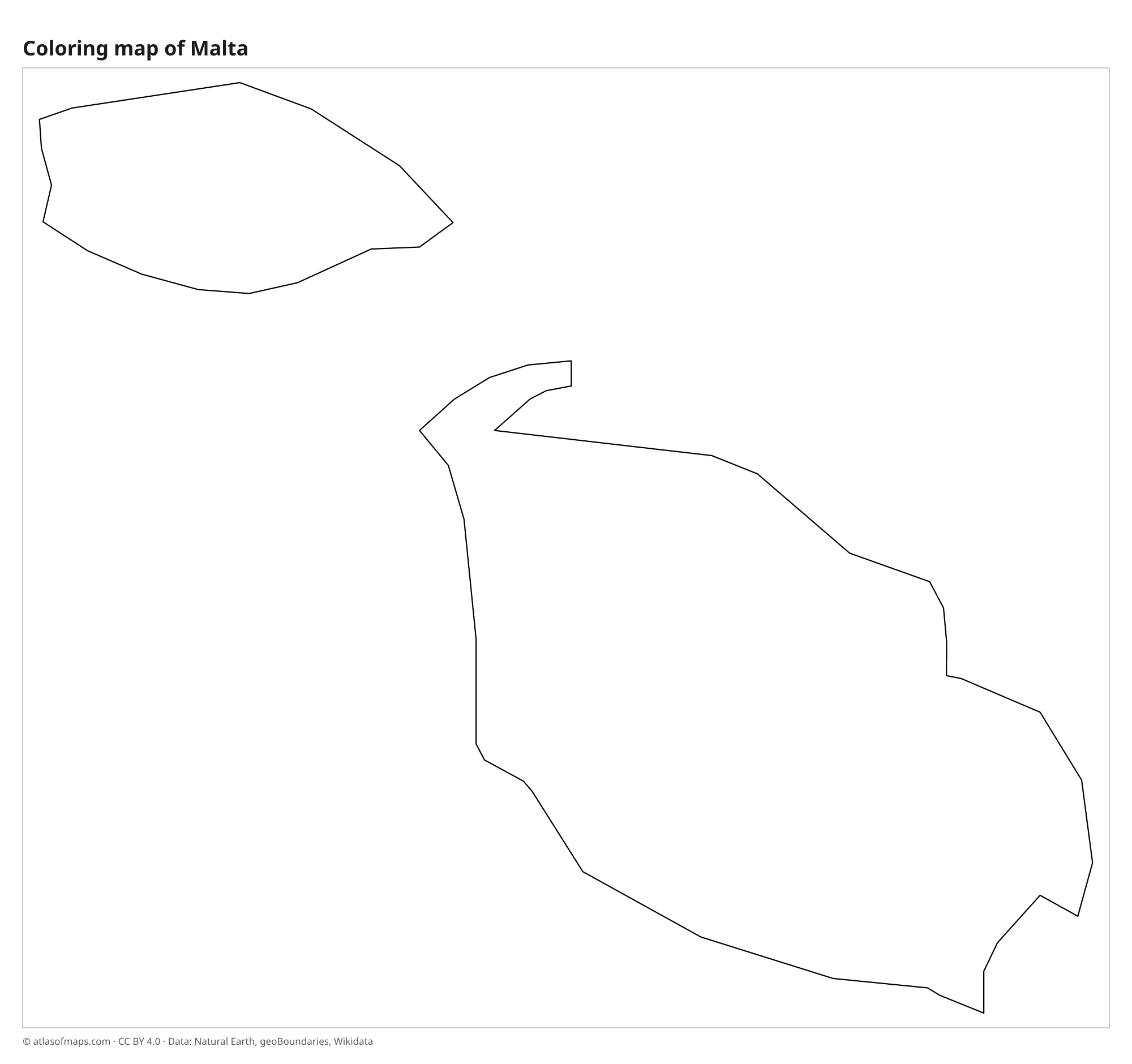
Coloring map of Malta

Geography of Malta
Malta covers just 316 km² (122 sq mi) on an archipelago of limestone islands. The three inhabited ones are Malta, the largest, Gozo to the northwest, and tiny Comino between them; the rest are small, uninhabited islets. The land is low and hilly and tilts so that the southwest coast ends in high sea cliffs, while the northeast coast has deep natural harbors and bays. The highest point, Ta' Dmejrek, reaches 253 m (830 ft) on top of the Dingli Cliffs.
Malta has no permanent rivers or lakes. Rain soaks quickly into the porous limestone, so much of the islands' fresh water comes from underground aquifers and desalination plants, and valleys called wieds carry water only after winter storms. The Grand Harbour beside Valletta is one of the finest natural harbors in the Mediterranean. The climate is Mediterranean, with hot, dry summers and mild, wet winters, and the islands are among the sunniest places in Europe.
Fun facts
- Malta is the smallest member of the European Union by both area and population.
- Malta's megalithic temples, such as Ġgantija on Gozo, are among the oldest free-standing structures in the world, older than the Egyptian pyramids.
- The Blue Lagoon, a clear, shallow channel between Comino and the islet of Cominotto, is one of Malta's best-known sights.
Flag of Malta
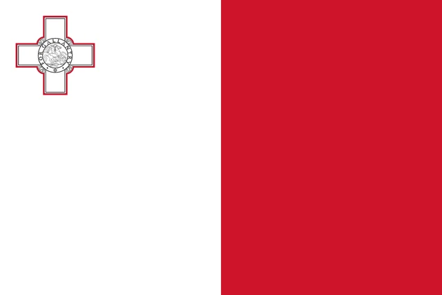
The flag of Malta has two equal vertical bands, white at the hoist and red at the fly. In the upper corner of the white band is a picture of the George Cross, edged in red. The cross is drawn in silver gray and shows a small image of Saint George slaying the dragon. The flag has a 2:3 ratio.
Frequently asked questions
Is Malta in Europe or Africa?
Malta is in Europe. It lies in the Mediterranean Sea between Sicily and North Africa, much closer to Sicily, and it is a member of the European Union that uses the euro.
What are the islands of Malta?
Malta has three inhabited islands: Malta, Gozo and Comino. Several small uninhabited islets, such as Filfla and Cominotto, lie close to their coasts.
What is the capital of Malta?
Valletta is the capital. Built by the Knights of St. John in the 16th century on a peninsula between two harbors, it is the smallest capital in the European Union.
What countries border Malta?
Malta has no land borders with other countries: all its borders are at sea.
What language is spoken in Malta?
The official languages are Maltese and English.
Can I print the map of Malta?
Yes. Every map on this page can be downloaded for free as PNG or PDF (US Letter) and printed, including the blank map and the coloring map. Please credit the source (Atlas of Maps, CC BY 4.0).
Use this map
You can download, print and share this map for free, in class, in school projects, in presentations and on websites, as long as you credit the source: Map of Malta · Atlas of Maps (atlasofmaps.com), license CC BY 4.0.
See also: Map of Europe · Map of the European Union · World map