Map of Mauritius
Mauritius is an island country in the Indian Ocean, about 2,000 km (1,200 mi) off the southeast coast of Africa and east of Madagascar. It has no land borders; its nearest neighbor is the French island of Réunion to the southwest. The political map shows its regions, the capital, Port Louis, and major cities.

- Capital
- Port Louis
- Population
- 1.3 million (2017)
- Area
- 2,040 km² (788 sq mi)
- Population density
- 620 per km² (1,606 per sq mi)
- Official languages
- English and French
- Currency
- Mauritian rupee
- Demonym
- Mauritian
- Highest point
- Piton de la Petite Rivière Noire (828 m (2,717 ft))
- Calling code
- +230
- Internet domain
- .mu
Where is Mauritius?
Mauritius is an island country in the Indian Ocean, about 2,000 km (1,200 mi) off the southeast coast of Africa and east of Madagascar. It has no land borders; its nearest neighbor is the French island of Réunion to the southwest.

Regions of Mauritius and their capitals
Mauritius is divided into districts, and the map draws them from Natural Earth data, which may not reflect the latest territorial reform. Rodrigues is an autonomous island with its own regional assembly, while the smaller outer islands are run from Port Louis.
The divisions on the map come from Natural Earth and may not reflect the latest territorial reform in Mauritius.
| Region | Capital | Population | Area |
|---|---|---|---|
| Agaléga | — | — | 24 km² (9.3 sq mi) |
| Beau Bassin-Rose Hill | — | 104,973 | 20 km² (7.7 sq mi) |
| Curepipe | — | 77,466 | 24 km² (9.3 sq mi) |
| Flacq | — | 140,294 | 298 km² (115 sq mi) |
| Grand Port | — | 115,546 | 260 km² (100 sq mi) |
| Moka | — | 81,288 | 231 km² (89 sq mi) |
| Pamplemousses | Triolet | — | 179 km² (69 sq mi) |
| Plaines Wilhems | Beau Bassin-Rose Hill | 385,034 | 203 km² (78 sq mi) |
| Port Louis | Port Louis | — | 44 km² (17 sq mi) |
| Port Louis city | Port Louis city | 149,194 | 47 km² (18 sq mi) |
| Quatre Bornes | — | 81,773 | 25 km² (9.7 sq mi) |
| Rivière du Rempart | — | — | 148 km² (57 sq mi) |
| Rivière Noire | — | 76,627 | 259 km² (100 sq mi) |
| Rodrigues | Port Mathurin | 41,669 | 109 km² (42 sq mi) |
| Savanne | Souillac | 70,471 | 245 km² (95 sq mi) |
| Vacoas-Phoenix | — | 107,678 | 54 km² (21 sq mi) |
Population from Wikidata (latest figure available for each region).
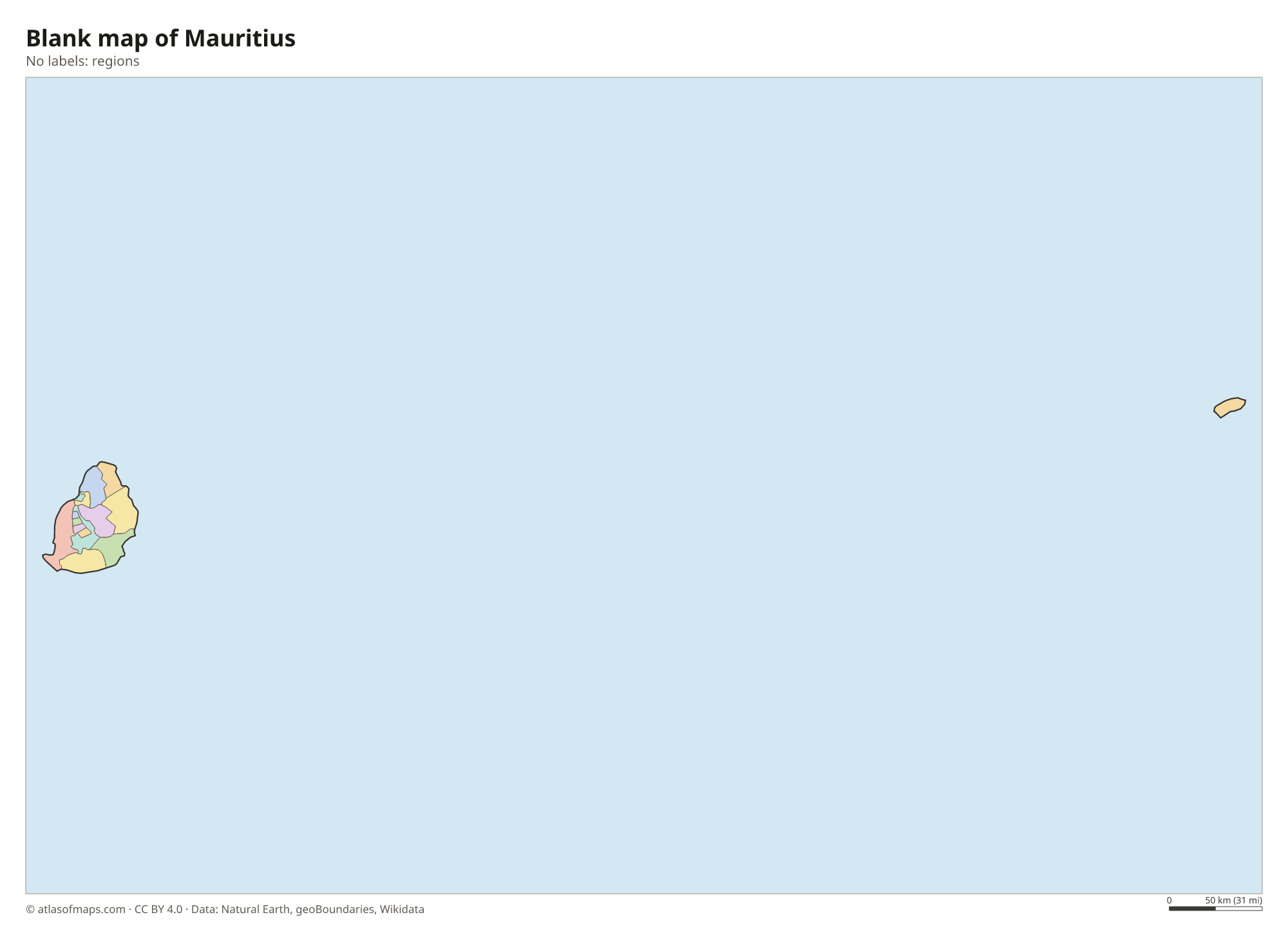
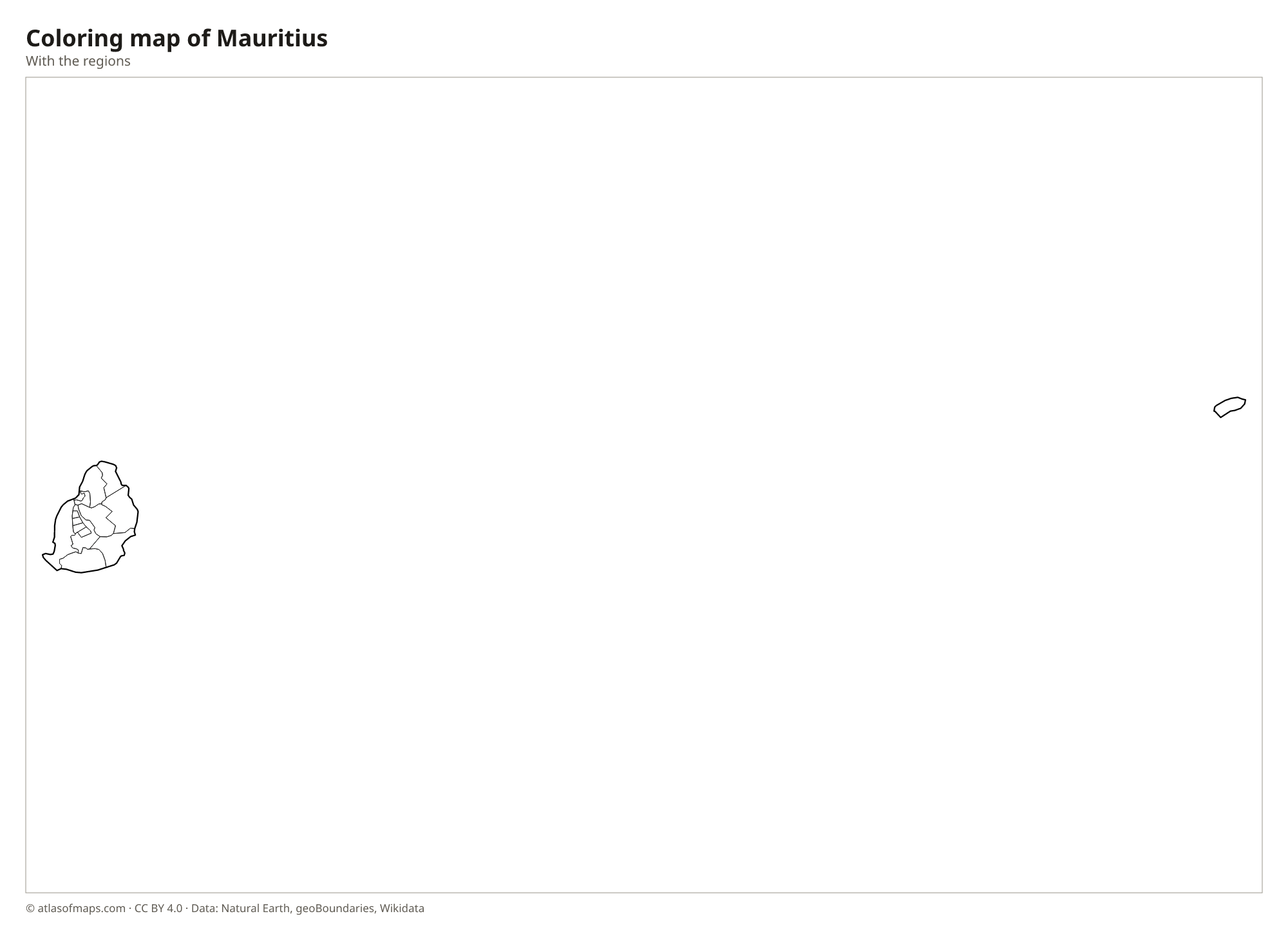
Blank and coloring maps of Mauritius
Blank map of Mauritius

Coloring map of Mauritius

Geography of Mauritius
Mauritius covers 2,040 km² (788 sq mi), and its main island is of volcanic origin. A central plateau rises in the middle of the island, ringed by old, eroded mountain ranges with jagged peaks such as Pieter Both and Le Pouce. The highest point, Piton de la Petite Rivière Noire, reaches 828 m (2,717 ft) in the southwest, above the forested Black River Gorges. Coastal plains surround the uplands, and the island is almost entirely encircled by a coral reef.
Many short rivers and waterfalls run down from the plateau, and reservoirs such as Mare aux Vacoas store water for the island. Lagoons inside the reef have calm, shallow water and white sand beaches. The climate is tropical: warm and humid from November to April, when cyclones can strike, and cooler and drier from May to October. Besides the main island, the country includes Rodrigues to the east and the remote Agaléga Islands and Cargados Carajos Shoals to the north.
Fun facts
- The dodo, a large flightless bird, lived only on Mauritius and died out in the 17th century.
- Off Le Morne in the southwest, sand and silt sliding down the edge of the reef create an optical illusion that looks like an underwater waterfall.
- The Seven Colored Earths of Chamarel are small dunes with bands of red, brown, purple and yellow soil.
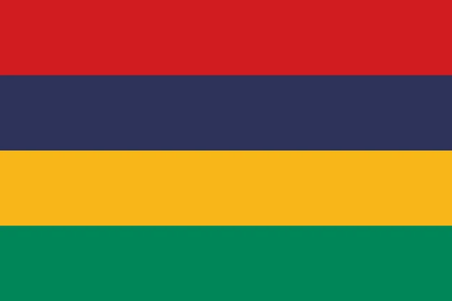
Flag of Mauritius
The flag of Mauritius has four equal horizontal stripes of red, blue, yellow and green, from top to bottom. It has no emblem, seal or other symbol and a 2:3 ratio. Its simple layout of four bright colors is often called the Four Bands, and it is easy to tell apart from other national flags.
Frequently asked questions
Where is Mauritius?
Mauritius is in the southwest Indian Ocean, east of Madagascar. It belongs to the Mascarene Islands, together with the French island of Réunion and its own island of Rodrigues.
Is Mauritius part of Africa?
Yes. Although it lies far out in the Indian Ocean, Mauritius is counted as an African country and is a member of the African Union and the Southern African Development Community.
What is the capital of Mauritius?
Port Louis is the capital and largest city. It lies on the northwest coast around a natural harbor, backed by the peaks of the Moka Range.
What countries border Mauritius?
Mauritius has no land borders with other countries: all its borders are at sea.
What language is spoken in Mauritius?
The official languages are English and French.
Can I print the map of Mauritius?
Yes. Every map on this page can be downloaded for free as PNG or PDF (US Letter) and printed, including the blank map and the coloring map. Please credit the source (Atlas of Maps, CC BY 4.0).
Use this map
You can download, print and share this map for free, in class, in school projects, in presentations and on websites, as long as you credit the source: Map of Mauritius · Atlas of Maps (atlasofmaps.com), license CC BY 4.0.
See also: Map of Africa · World map