Map of Micronesia with regions and capitals
Micronesia, officially the Federated States of Micronesia, is an island country in the western Pacific Ocean, north of the equator and northeast of New Guinea. It has no land borders; nearby are Palau to the west, Guam to the northwest and the Marshall Islands to the east. The political map shows its 4 regions, the capital, Palikir, and major cities.

- Capital
- Palikir
- Population
- 75,817 (2023)
- Area
- 702 km² (271 sq mi)
- Population density
- 108 per km² (280 per sq mi)
- Official language
- English
- Currency
- United States dollar
- Demonym
- Micronesian
- Regions
- 4
- Highest point
- Dolohmwar (791 m (2,595 ft))
- Calling code
- +691
- Internet domain
- .fm
Where is Micronesia?
Micronesia, officially the Federated States of Micronesia, is an island country in the western Pacific Ocean, north of the equator and northeast of New Guinea. It has no land borders; nearby are Palau to the west, Guam to the northwest and the Marshall Islands to the east.

Regions of Micronesia and their capitals
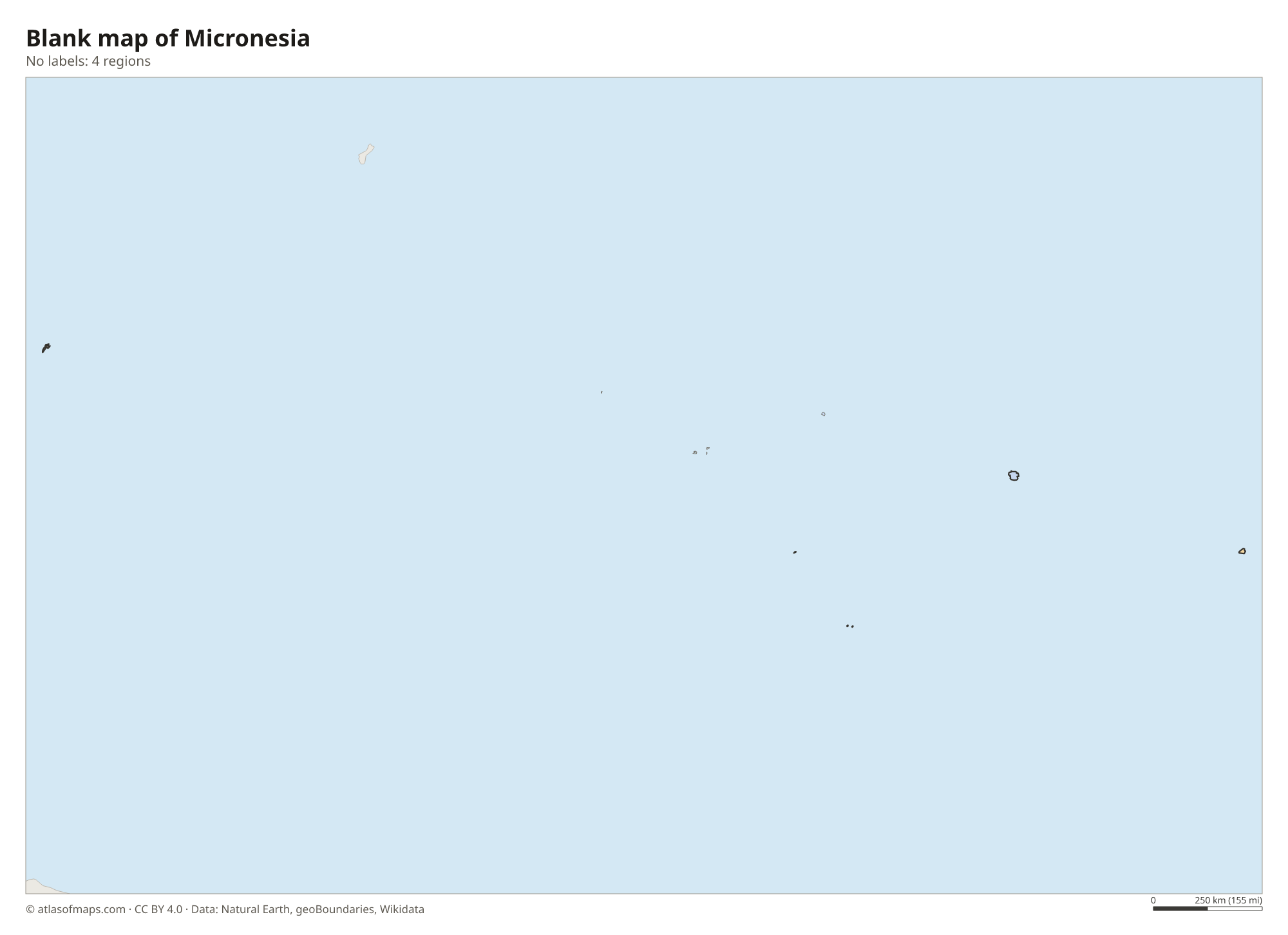
Micronesia is a federation of 4 states, the units on the map: Yap, Chuuk, Pohnpei and Kosrae. Each state has its own government and includes its main island or lagoon plus smaller outer islands, except Kosrae, which is a single island.
| Region | Capital | Population | Area |
|---|---|---|---|
| Chuuk State | Weno | 33,885 | 116 km² (45 sq mi) |
| Kosrae | Tofol | 5,092 | 110 km² (42 sq mi) |
| Pohnpei State | Kolonia | 36,196 | 372 km² (144 sq mi) |
| Yap State | Colonia | 10,739 | 120 km² (46 sq mi) |
Population from Wikidata (latest figure available for each region).
Blank and coloring maps of Micronesia
Blank map of Micronesia

Coloring map of Micronesia

Geography of Micronesia
Micronesia has 702 km² (271 sq mi) of land spread over more than 600 islands in the Caroline Islands, scattered across roughly 2,700 km (1,700 mi) of ocean from west to east. The four main island groups are Yap, Chuuk, Pohnpei and Kosrae. Pohnpei and Kosrae are high volcanic islands with steep, rainforest-covered mountains, while most of the other islands are low coral atolls. The highest point, Dolohmwar on Pohnpei, reaches 791 m (2,595 ft).
Pohnpei is one of the wettest places on Earth, and heavy rain throughout the year feeds its many rivers and waterfalls. Chuuk is a large lagoon enclosed by a barrier reef and dotted with high islands. Mangroves line many coasts, and coral reefs surround nearly all the islands. The climate is tropical and humid, with little change in temperature through the year, and typhoons sometimes form in the region, especially around Yap in the west.
Fun facts
- The ruins of Nan Madol, a city of stone platforms built on artificial islets off Pohnpei, are a UNESCO World Heritage Site.
- Chuuk Lagoon is famous for dozens of Japanese ships sunk there during World War II, now a well-known dive site.
- On Yap, large carved stone discs called rai were used as traditional money.
Flag of Micronesia
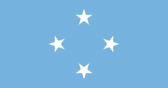
The flag of Micronesia is light blue with four white five-pointed stars arranged in a diamond in the center. The stars are evenly spaced, like the points of a compass, and there are no other symbols. The flag has a 10:19 ratio, the same proportions as the flag of the United States.
Frequently asked questions
Where is Micronesia?
Micronesia is in the western Pacific Ocean, north of the equator. Its islands stretch across the Caroline Islands, between Palau in the west and the Marshall Islands in the east.
How many states does Micronesia have?
Micronesia has 4 states: Yap, Chuuk, Pohnpei and Kosrae. Chuuk has the most people, and Pohnpei holds the capital, Palikir.
Is Micronesia a country or a region?
Both. Micronesia is a wider Pacific region that also includes Guam, Palau, Nauru and the Marshall Islands, and the Federated States of Micronesia is an independent country within it.
What is the capital of Micronesia?
The capital of Micronesia is Palikir.
What countries border Micronesia?
Micronesia has no land borders with other countries: all its borders are at sea.
What language is spoken in Micronesia?
The official language is English.
Can I print the map of Micronesia?
Yes. Every map on this page can be downloaded for free as PNG or PDF (US Letter) and printed, including the blank map and the coloring map. Please credit the source (Atlas of Maps, CC BY 4.0).
Use this map
You can download, print and share this map for free, in class, in school projects, in presentations and on websites, as long as you credit the source: Map of Micronesia · Atlas of Maps (atlasofmaps.com), license CC BY 4.0.
See also: Map of Oceania · World map