Map of Monaco
Monaco is a tiny city-state on the Mediterranean coast of Western Europe, on the French Riviera. It is surrounded by France on its land sides and lies only a few kilometers from the border with Italy.

- Capital
- Monaco
- Population
- 38,857 (2025)
- Area
- 2 km² (0.8 sq mi)
- Population density
- 19,429 per km² (50,320 per sq mi)
- Official language
- French
- Currency
- euro
- Demonym
- Monégasque
- Highest point
- Chemin des Révoires (162 m (531 ft))
- Calling code
- +377
- Internet domain
- .mc
Where is Monaco?
Monaco is a tiny city-state on the Mediterranean coast of Western Europe, on the French Riviera. It is surrounded by France on its land sides and lies only a few kilometers from the border with Italy.
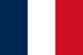
Neighboring countries: France.

Blank and coloring maps of Monaco
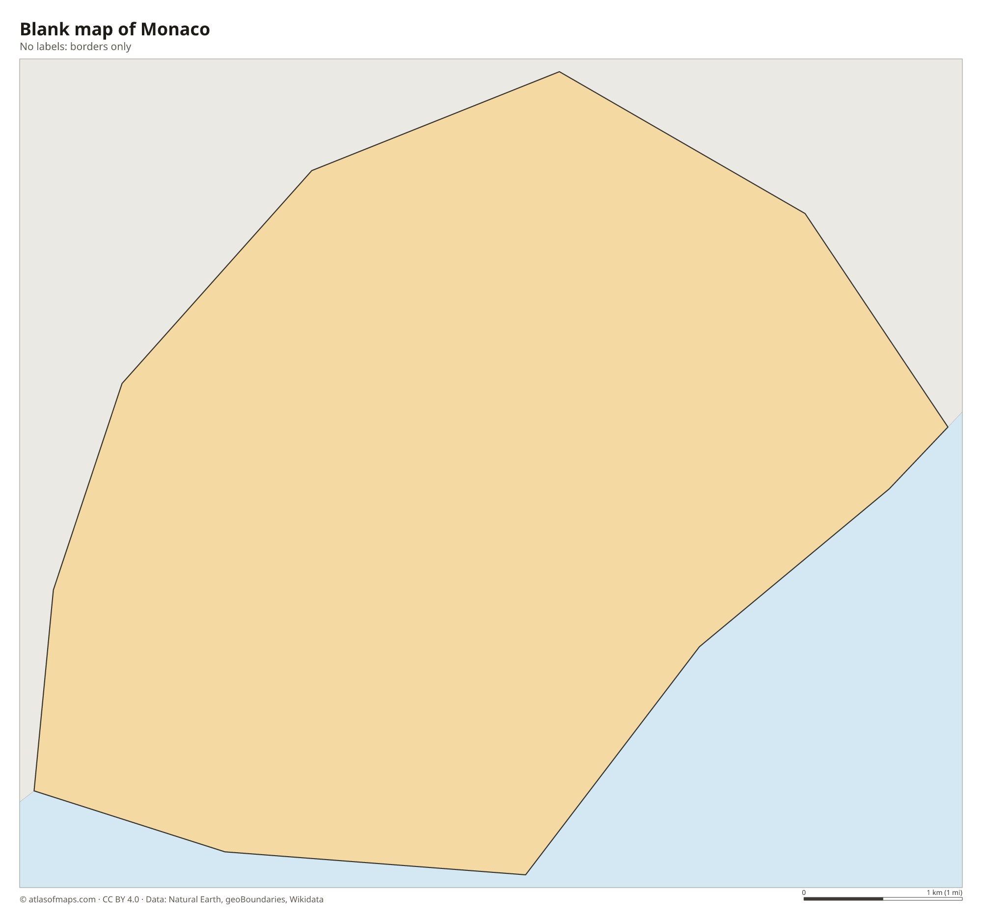
Blank map of Monaco

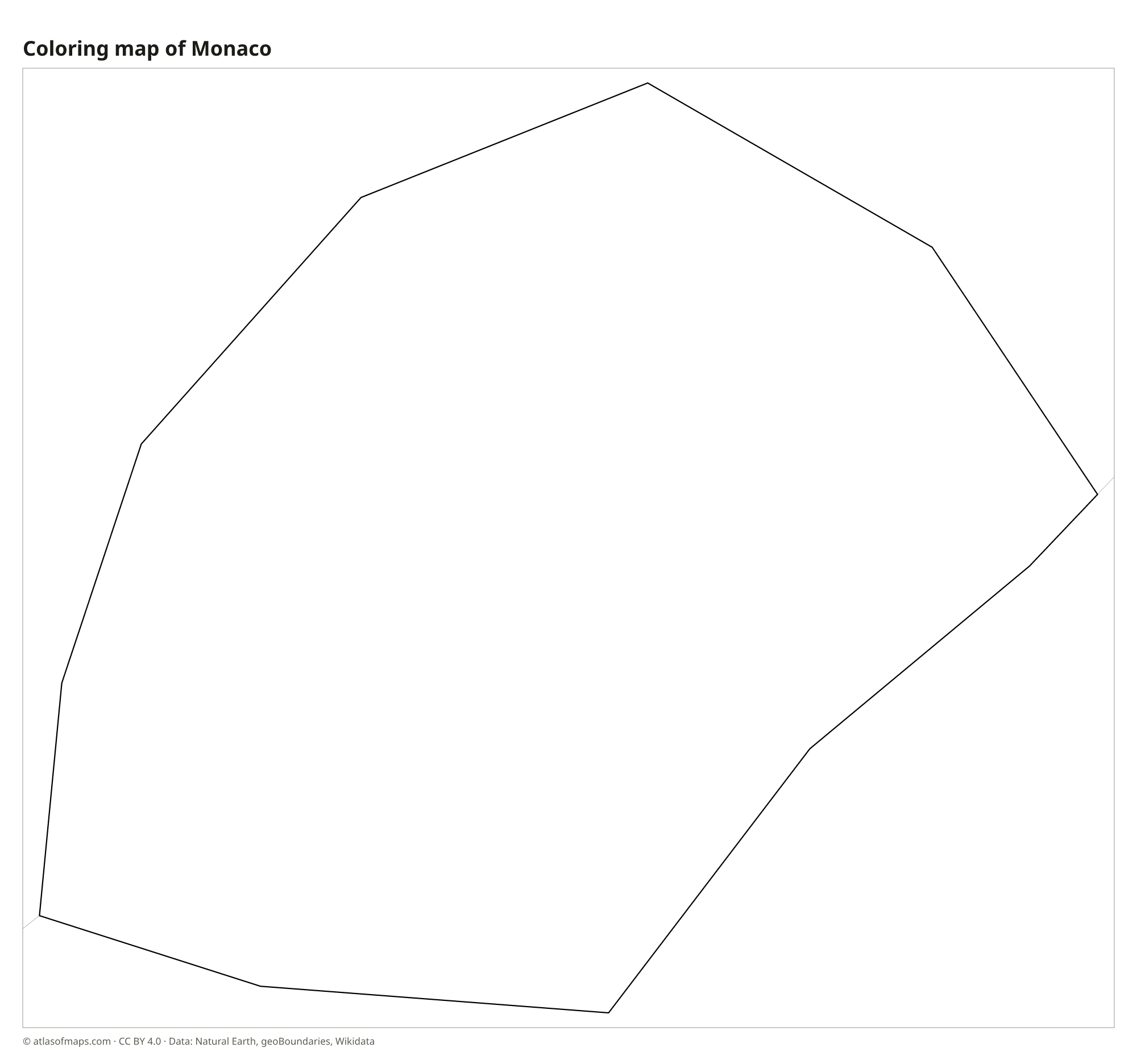
Coloring map of Monaco

Geography of Monaco
Monaco covers about 2 km² (1 sq mi), making it the second-smallest country in the world after Vatican City. It occupies a narrow strip of coast at the foot of the Maritime Alps, where steep slopes drop straight to the sea. The land climbs from the shore to its highest point, 162 m (531 ft), on the Chemin des Révoires, a road on the slopes of Mont Agel, whose summit lies in France. The old town, Monaco-Ville, sits on a rocky headland known as the Rock.
Monaco has no rivers of note, only small streams that run through tunnels beneath the city. To gain space, it has reclaimed land from the sea: the district of Fontvieille was built this way, and the new Mareterra district has pushed the coast farther out. Port Hercule, the main harbor, lies between the Rock and Monte Carlo. The climate is Mediterranean, with mild, wet winters and hot, dry summers, and the mountains behind the city shelter it from cold northern winds.
Fun facts
- With 38,857 people (2025) on about 2 km², Monaco is the most densely populated country in the world.
- The Monaco Grand Prix is raced on the city's own streets, through a tunnel and around the harbor.
- The Oceanographic Museum, built into the cliff of the Rock, was founded by Prince Albert I, a pioneering marine scientist.
Flag of Monaco
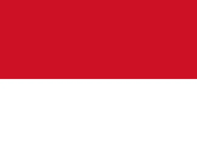
The flag of Monaco has two equal horizontal bands, red on top and white below, with no emblem. Its official ratio is 4:5, which makes it almost square. It looks the same as the flag of Indonesia, which uses the same colors in a longer 2:3 shape, and it is the reverse of the white-over-red flag of Poland.
Countries bordering Monaco
Frequently asked questions
What country surrounds Monaco?
France surrounds Monaco on all its land sides, and the Mediterranean Sea lies to the south. The Italian border is only a few kilometers to the east.
What is the capital of Monaco?
Monaco is a city-state, so the country and its capital share the same name. The government and the Prince's Palace are in Monaco-Ville, the old town on the Rock.
How big is Monaco?
Monaco covers about 2 km² (1 sq mi), the second-smallest area of any country after Vatican City. It stretches only a few kilometers along the coast.
What countries border Monaco?
Monaco shares land borders with France.
What language is spoken in Monaco?
The official language is French.
Can I print the map of Monaco?
Yes. Every map on this page can be downloaded for free as PNG or PDF (US Letter) and printed, including the blank map and the coloring map. Please credit the source (Atlas of Maps, CC BY 4.0).
Use this map
You can download, print and share this map for free, in class, in school projects, in presentations and on websites, as long as you credit the source: Map of Monaco · Atlas of Maps (atlasofmaps.com), license CC BY 4.0.
See also: Map of Europe · World map