Map of Mongolia with regions and capitals
Mongolia is a large landlocked country in East Asia, between Russia to the north and China to the south, east and west. It is a land of high plateaus, grassy steppe, mountains and the Gobi Desert. The political map shows its 22 regions, the capital, Ulaanbaatar, and major cities.

- Capital
- Ulaanbaatar
- Population
- 3.4 million (2021)
- Area
- 1,564,116 km² (603,909 sq mi)
- Population density
- 2 per km² (6 per sq mi)
- Official language
- Mongolian
- Currency
- Mongolian tögrög
- Demonym
- Mongol
- Regions
- 22
- Highest point
- Hüiten Peak (4,374 m (14,350 ft))
- Calling code
- +976
- Internet domain
- .mn
Where is Mongolia?
Mongolia is a large landlocked country in East Asia, between Russia to the north and China to the south, east and west. It is a land of high plateaus, grassy steppe, mountains and the Gobi Desert.

Regions of Mongolia and their capitals
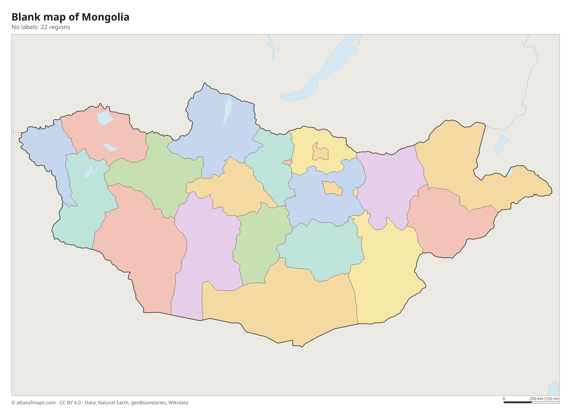
The map shows 22 units: 21 provinces, called aimags, and the capital city of Ulaanbaatar, which is governed separately. Each aimag is divided into smaller districts called sums.
| Region | Capital | Population | Area |
|---|---|---|---|
| Arkhangai | Tsetserleg | 92,059 | 55,314 km² (21,357 sq mi) |
| Bayan-Ölgii | Ölgii | 100,189 | 45,705 km² (17,647 sq mi) |
| Bayankhongor | Bayankhongor | 83,936 | 115,978 km² (44,779 sq mi) |
| Bulgan | Selenge | 60,014 | 48,733 km² (18,816 sq mi) |
| Darkhan-Uul | Darkhan | 100,939 | 3,275 km² (1,264 sq mi) |
| Dornod | Choibalsan | 76,476 | 123,597 km² (47,721 sq mi) |
| Dornogovi | Sainshand | 65,267 | 109,472 km² (42,267 sq mi) |
| Dundgovi | Mandalgovi | 44,429 | 74,690 km² (28,838 sq mi) |
| Govi-Altai | Altai | 56,209 | 141,448 km² (54,613 sq mi) |
| Govisümber | Choir | 16,522 | 5,542 km² (2,140 sq mi) |
| Khentii | Chinggis City | 73,663 | 80,325 km² (31,014 sq mi) |
| Khovd | Khovd | 86,000 | 76,133 km² (29,395 sq mi) |
| Khövsgöl | Mörön | 128,159 | 100,629 km² (38,853 sq mi) |
| Ömnögovi | Dalanzadgad | 61,655 | 165,380 km² (63,854 sq mi) |
| Orkhon | Erdenet | 100,731 | 844 km² (326 sq mi) |
| Övörkhangai | Arvaikheer | 100,731 | 62,895 km² (24,284 sq mi) |
| Selenge | Sükhbaatar | 106,292 | 41,153 km² (15,889 sq mi) |
| Sükhbaatar | Baruun-Urt | 59,034 | 82,287 km² (31,771 sq mi) |
| Töv | Zuunmod | 90,421 | 74,042 km² (28,588 sq mi) |
| Ulaanbaatar | Ulaanbaatar | 1,396,288 | 4,704 km² (1,816 sq mi) |
| Uvs | Ulaangom | 80,763 | 69,585 km² (26,867 sq mi) |
| Zavkhan | Uliastai | 69,916 | 82,456 km² (31,836 sq mi) |
Population from Wikidata (latest figure available for each region).
Blank and coloring maps of Mongolia
Blank map of Mongolia

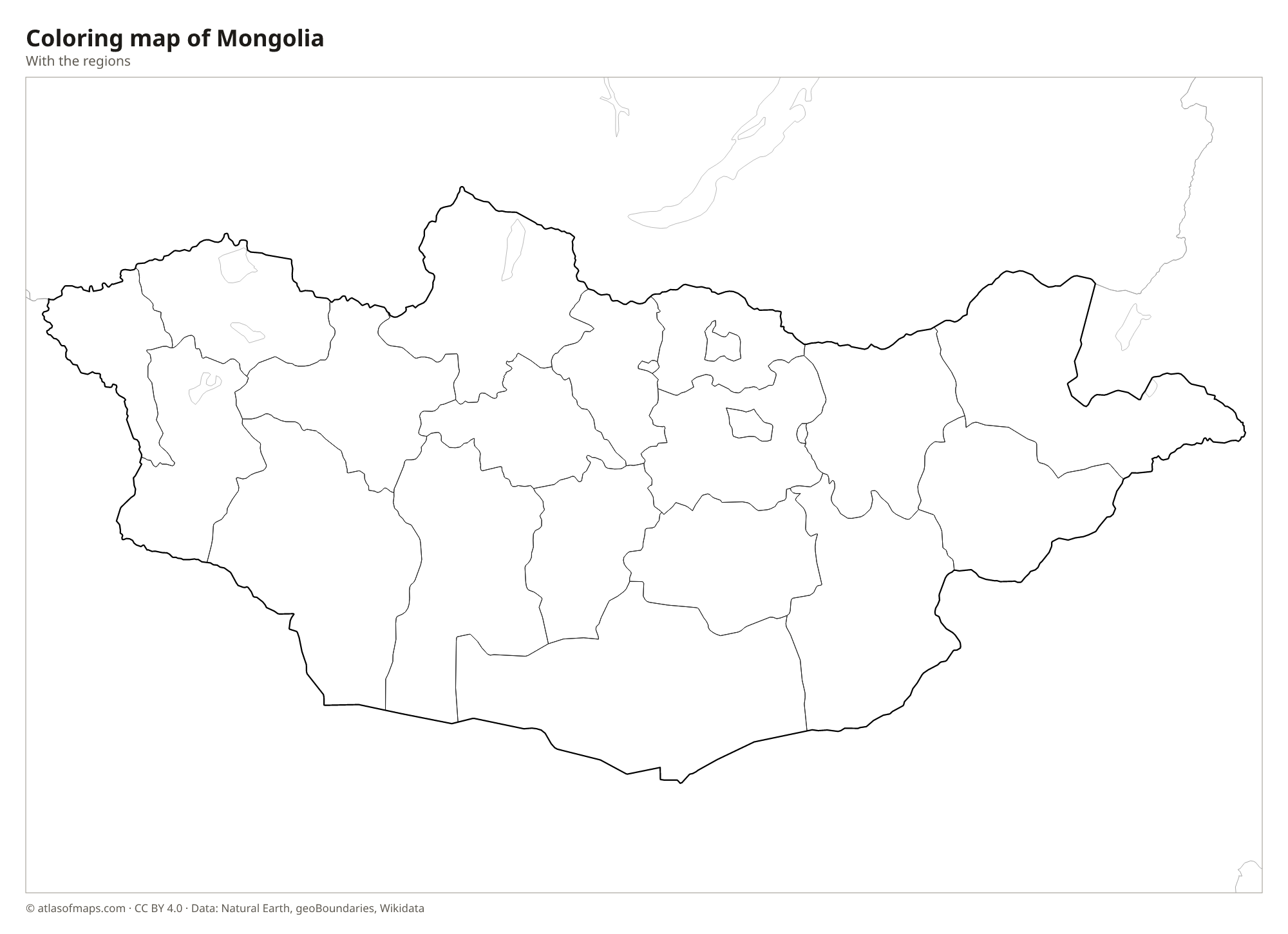
Coloring map of Mongolia

Geography of Mongolia
Mongolia covers 1,564,116 km² (603,909 sq mi), and most of it is a high plateau. In the west, the Altai Mountains hold glaciers and the highest point, Hüiten Peak, at 4,374 m (14,350 ft), close to where the borders of Mongolia, China and Russia meet. The Khangai Mountains rise in the center, and the forested Khentii range lies northeast of Ulaanbaatar. The south and southeast are covered by the Gobi Desert, a cold desert of gravel plains, rocky hills and some sand dunes.
Wide grasslands, or steppe, cover much of central and eastern Mongolia, where herders move with their animals between seasonal pastures. In the north, the Selenge River flows into Russia and on to Lake Baikal, and Lake Khövsgöl, a deep, clear mountain lake, lies near the Russian border. The west has a basin of large salt lakes, including Uvs Lake. Mongolia has a harsh continental climate, with very cold, long winters, short warm summers, little rain and many sunny days.
Fun facts
- With 3,409,939 people (2021) in a huge territory, Mongolia is the most sparsely populated sovereign country in the world.
- Ulaanbaatar is often called the coldest national capital in the world.
- Mongolia is the second-largest landlocked country in the world, after Kazakhstan.
Flag of Mongolia
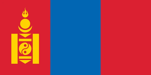
The flag of Mongolia has three equal vertical bands: red, blue and red. On the red band nearest the hoist is the Soyombo, a gold symbol made of a flame, a sun, a moon, triangles, bars and a yin-yang circle, stacked in a column. The flag has a 1:2 ratio.
Countries bordering Mongolia
Frequently asked questions
What countries border Mongolia?
Mongolia borders just two countries: Russia to the north and China to the south, east and west. Kazakhstan comes close to its western tip but does not touch it.
How many provinces does Mongolia have?
Mongolia has 21 provinces (aimags) plus the capital, Ulaanbaatar, which is a separate unit. Together they make up the 22 divisions on the map.
Is the Gobi Desert in Mongolia?
Yes. The Gobi covers much of southern Mongolia and extends into northern China. It is a cold desert of gravel plains and rocky mountains, with sand dunes such as Khongoryn Els.
What is the capital of Mongolia?
The capital of Mongolia is Ulaanbaatar.
What language is spoken in Mongolia?
The official language is Mongolian.
Can I print the map of Mongolia?
Yes. Every map on this page can be downloaded for free as PNG or PDF (US Letter) and printed, including the blank map and the coloring map. Please credit the source (Atlas of Maps, CC BY 4.0).
Use this map
You can download, print and share this map for free, in class, in school projects, in presentations and on websites, as long as you credit the source: Map of Mongolia · Atlas of Maps (atlasofmaps.com), license CC BY 4.0.
See also: Map of Asia · World map