Map of Nauru with regions and capitals
Nauru is a tiny island country in the central Pacific Ocean, in Micronesia, just south of the equator. It has no land borders; its nearest neighbor is Banaba, an island belonging to Kiribati, to the east. The political map shows its 14 regions, the capital, Yaren District, and major cities.

- Capital
- Yaren District
- Population
- 13,650 (2017)
- Area
- 21 km² (8.1 sq mi)
- Population density
- 650 per km² (1,683 per sq mi)
- Official languages
- Nauruan and English
- Currency
- Australian dollar
- Demonym
- Nauruan
- Regions
- 14
- Highest point
- Command Ridge (70 m (230 ft))
- Calling code
- +674
- Internet domain
- .nr
- Official name
- Republic of Nauru
Where is Nauru?
Nauru is a tiny island country in the central Pacific Ocean, in Micronesia, just south of the equator. It has no land borders; its nearest neighbor is Banaba, an island belonging to Kiribati, to the east.

Regions of Nauru and their capitals
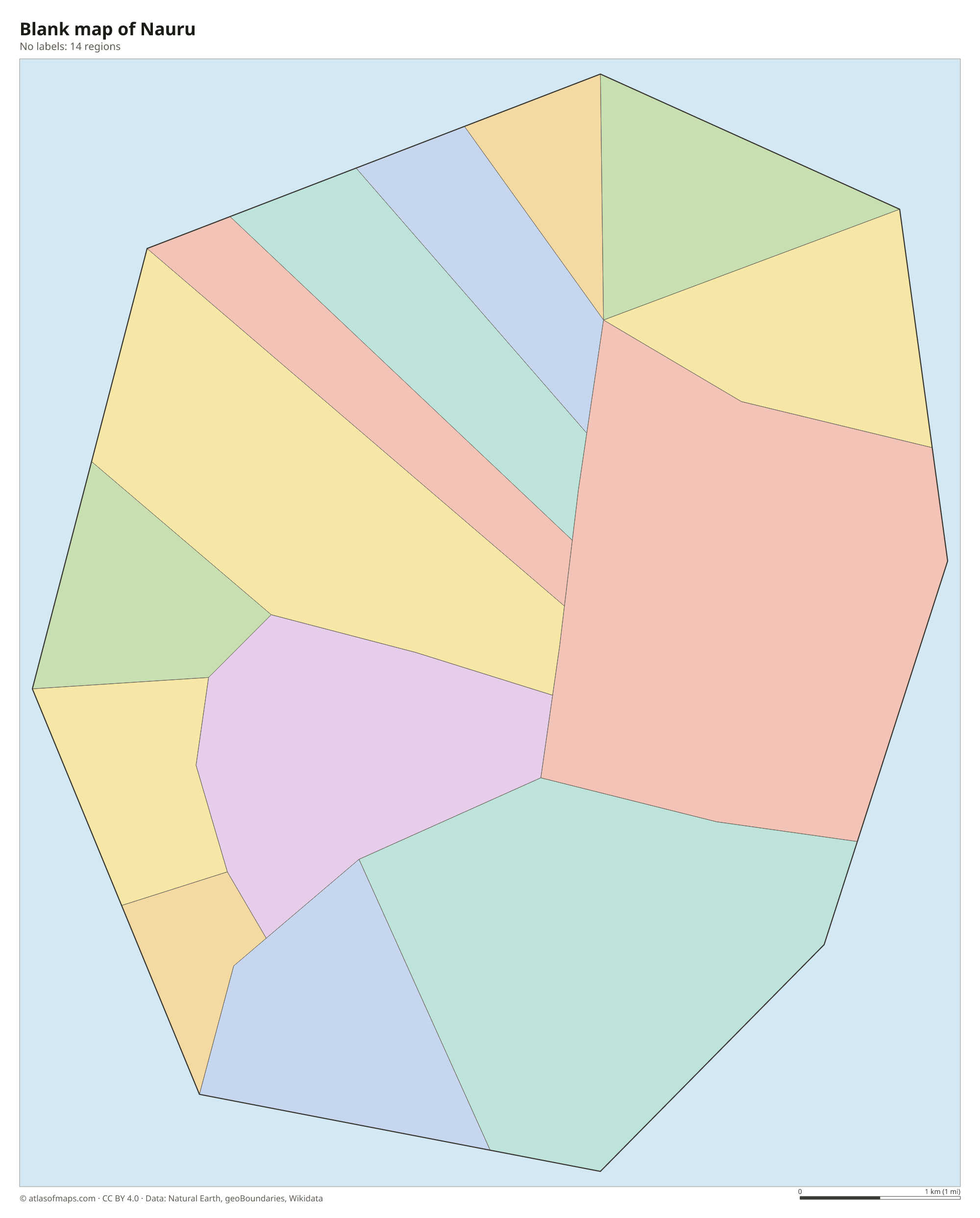
Nauru is divided into 14 districts, the units drawn on the map, such as Yaren, Aiwo and Boe. Most districts are small wedges stretching from the coast toward the interior, while Buada lies entirely inland around its lagoon.
| Region | Capital | Population | Area |
|---|---|---|---|
| Aiwo | — | 1,300 | 1 km² (0.4 sq mi) |
| Anabar | Anabar | — | 2 km² (0.8 sq mi) |
| Anetan | — | — | 1 km² (0.4 sq mi) |
| Anibare | — | — | 3 km² (1.2 sq mi) |
| Baiti | — | 834 | 1 km² (0.4 sq mi) |
| Boe | — | 970 | 1 km² (0.4 sq mi) |
| Buada | — | 1,000 | 3 km² (1.2 sq mi) |
| Denigomodu | Arijejen | 2,396 | 1 km² (0.4 sq mi) |
| Ewa | — | — | 1 km² (0.4 sq mi) |
| Ijuw | — | — | 1 km² (0.4 sq mi) |
| Meneng | — | 1,400 | 3 km² (1.2 sq mi) |
| Nibok | — | 460 | 2 km² (0.8 sq mi) |
| Uaboe | — | 333 | 1 km² (0.4 sq mi) |
| Yaren | — | 747 | 2 km² (0.8 sq mi) |
Population from Wikidata (latest figure available for each region).
Blank and coloring maps of Nauru
Blank map of Nauru

Coloring map of Nauru

Geography of Nauru
Nauru is a single raised coral island of 21 km² (8 sq mi), one of the smallest countries in the world. A narrow strip of flat, fertile land rings the coast, where almost all the people live, backed by low coral cliffs. Inland lies a raised plateau, called Topside, that once held rich phosphate deposits. Decades of mining stripped much of it down to jagged limestone pinnacles. The highest point, Command Ridge, reaches only 70 m (230 ft).
Nauru has no rivers or streams. Its only lake is Buada Lagoon, a small body of slightly salty water in a hollow in the southwest of the island, surrounded by palms and gardens. A fringing coral reef surrounds the whole island and is exposed at low tide. The climate is tropical and hot, with a rainy season from about November to February, but long droughts are common and much of the drinking water comes from desalination.
Fun facts
- Nauru is the world's smallest island country and its third-smallest country overall, after Vatican City and Monaco.
- A single coastal road of about 19 km (12 mi) circles the whole island.
- Nauru has no official capital; the Parliament and government offices are in Yaren District.
Flag of Nauru
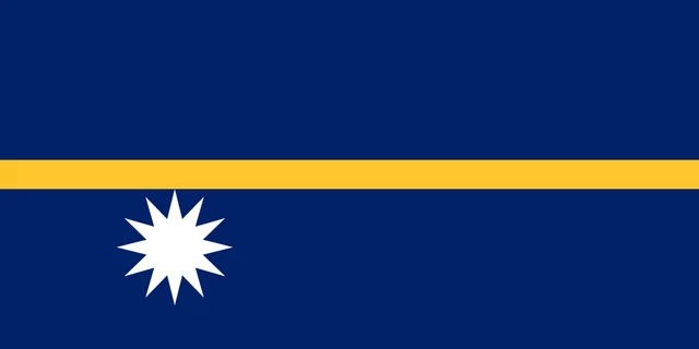
The flag of Nauru is dark blue with a narrow gold horizontal stripe across the middle. Below the stripe, near the hoist, is a white star with 12 points. The flag has a 1:2 ratio and no other symbols, and its layout is meant as a simple map of where the island lies.
Frequently asked questions
What is the capital of Nauru?
Nauru has no official capital, but Yaren District, on the south coast, serves as the capital because the Parliament and main government offices are located there.
How many districts does Nauru have?
Nauru has 14 districts: Aiwo, Anabar, Anetan, Anibare, Baiti, Boe, Buada, Denigomodu, Ewa, Ijuw, Meneng, Nibok, Uaboe and Yaren.
Where is Nauru?
Nauru lies in the central Pacific Ocean, about 40 km (25 mi) south of the equator and northeast of Papua New Guinea and the Solomon Islands.
What countries border Nauru?
Nauru has no land borders with other countries: all its borders are at sea.
How many regions does Nauru have?
Nauru is divided into 14 regions: Aiwo, Anabar, Anetan, Anibare, Baiti, Boe, Buada, Denigomodu, Ewa, Ijuw, Meneng, Nibok, Uaboe, and Yaren.
What language is spoken in Nauru?
The official languages are Nauruan and English.
Can I print the map of Nauru?
Yes. Every map on this page can be downloaded for free as PNG or PDF (US Letter) and printed, including the blank map and the coloring map. Please credit the source (Atlas of Maps, CC BY 4.0).
Use this map
You can download, print and share this map for free, in class, in school projects, in presentations and on websites, as long as you credit the source: Map of Nauru · Atlas of Maps (atlasofmaps.com), license CC BY 4.0.
See also: Map of Oceania · World map