Map of Palau with regions and capitals
Palau is an island country in Oceania, in the western Pacific Ocean at the western edge of the Micronesia region. It lies east of the Philippines and north of eastern Indonesia and shares no land border with any country. The political map shows its 16 regions, the capital, Ngerulmud, and major cities.

- Capital
- Ngerulmud
- Population
- 21,729 (2017)
- Area
- 466 km² (180 sq mi)
- Population density
- 47 per km² (121 per sq mi)
- Official languages
- English, Palauan, and Japanese
- Currency
- United States dollar
- Demonym
- Palauan
- Regions
- 16
- Highest point
- Mount Ngerchelchuus (242 m (794 ft))
- Calling code
- +680
- Internet domain
- .pw
Where is Palau?
Palau is an island country in Oceania, in the western Pacific Ocean at the western edge of the Micronesia region. It lies east of the Philippines and north of eastern Indonesia and shares no land border with any country.

Regions of Palau and their capitals
Palau is divided into 16 states, all shown on the map. Koror State holds most of the population, while the capital, Ngerulmud, is in Melekeok State on Babeldaob. The southwestern states of Sonsorol and Hatohobei lie far from the main islands.
| Region | Capital | Population | Area |
|---|---|---|---|
| Aimeliik | — | 270 | 52 km² (20 sq mi) |
| Airai | Ngetkib | — | 44 km² (17 sq mi) |
| Angaur | Ngeremasch | 120 | 8 km² (3.1 sq mi) |
| Hatohobei | — | 40 | 1 km² (0.4 sq mi) |
| Kayangel | — | 54 | 1 km² (0.4 sq mi) |
| Koror | Koror | — | 65 km² (25 sq mi) |
| Melekeok | Melekeok | 391 | 11 km² (4.2 sq mi) |
| Ngaraard | — | — | 36 km² (14 sq mi) |
| Ngarchelong | — | — | 10 km² (3.9 sq mi) |
| Ngardmau | — | — | 53 km² (20 sq mi) |
| Ngatpang | — | — | 47 km² (18 sq mi) |
| Ngchesar | — | — | 40 km² (15 sq mi) |
| Ngeremlengui | — | 349 | 65 km² (25 sq mi) |
| Ngiwal | — | — | 26 km² (10 sq mi) |
| Peleliu | Kloulklubed | — | 13 km² (5 sq mi) |
| Sonsorol | Dongosaru | — | 3 km² (1.2 sq mi) |
Population from Wikidata (latest figure available for each region).
Blank and coloring maps of Palau
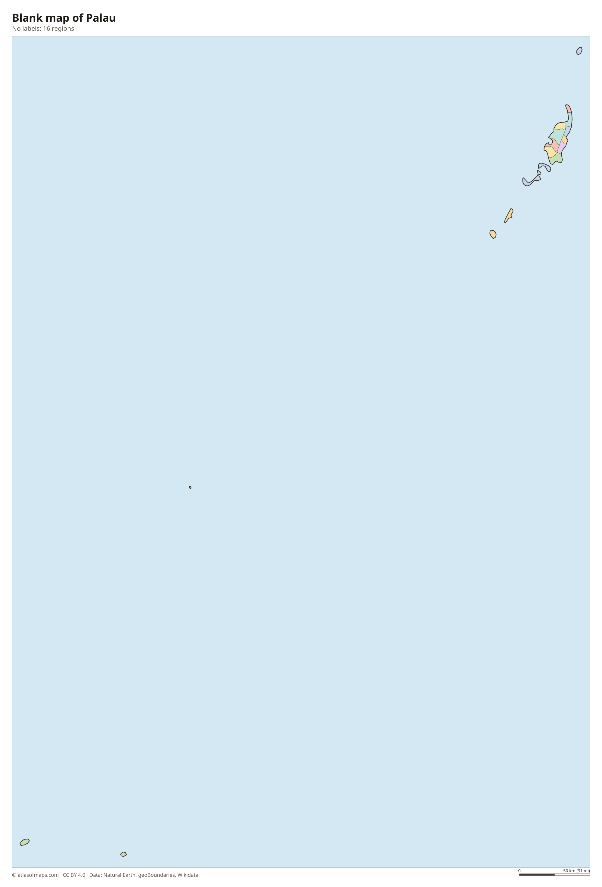
Blank map of Palau

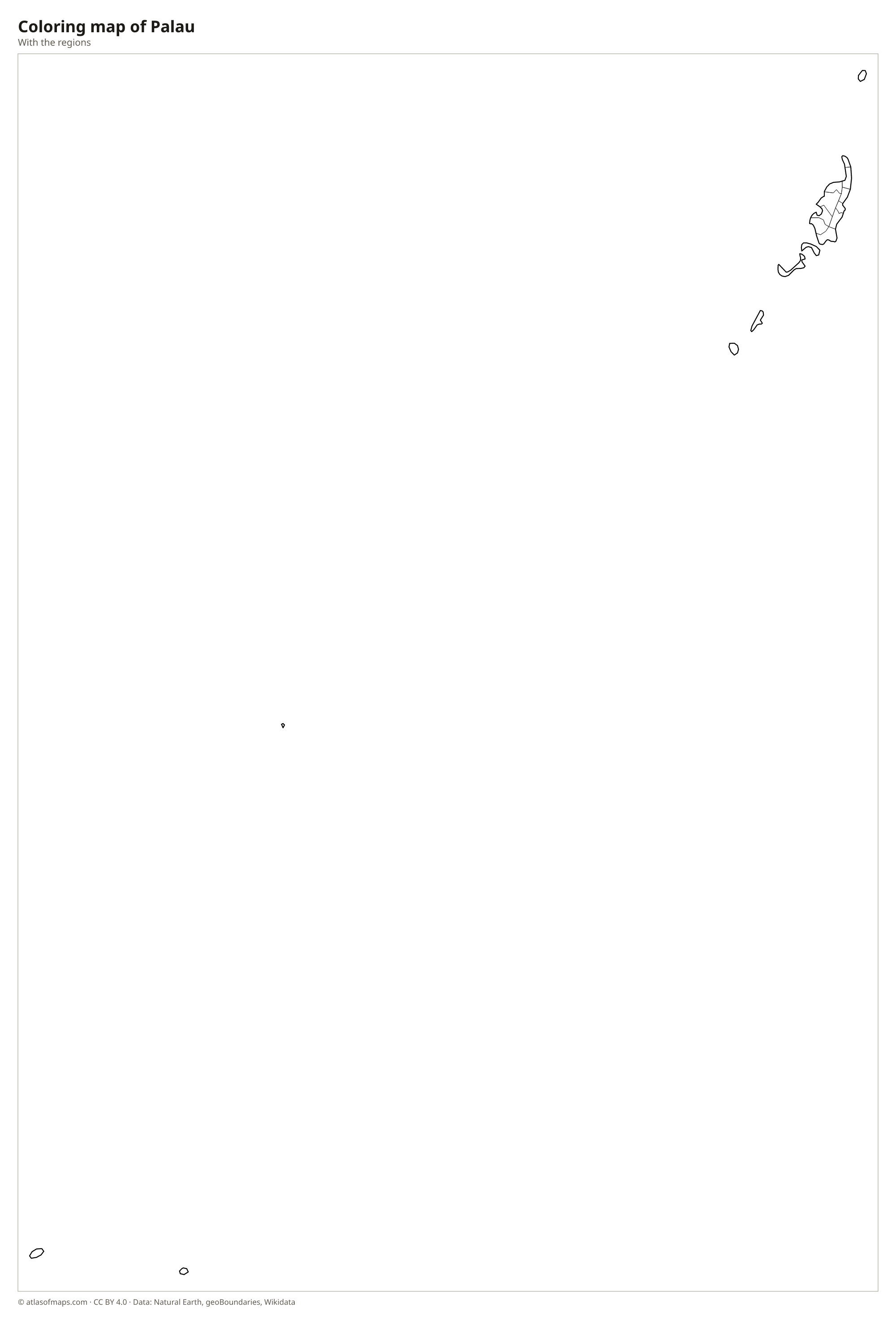
Coloring map of Palau

Geography of Palau
Palau is a chain of more than 300 islands stretching roughly from north to south. Babeldaob, the largest, is a hilly volcanic island with red clay soils, grasslands and forested ridges; its highest point, Mount Ngerchelchuus, reaches only 242 m (794 ft). South of it lie Koror and the Rock Islands, hundreds of small, mushroom-shaped limestone islands covered in jungle. Farther south are the flat raised-coral islands of Peleliu and Angaur, and far to the southwest the tiny, remote islands of Sonsorol and Hatohobei. Kayangel, in the far north, is a coral atoll.
Most of the main island group is enclosed by a long barrier reef and a shallow lagoon, and the sea is the heart of Palau's natural world. The Rock Islands Southern Lagoon is a UNESCO World Heritage Site, and Jellyfish Lake on Eil Malk is famous for its millions of mildly stinging jellyfish. Babeldaob has small rivers, mangrove-lined estuaries and Lake Ngardok, a natural freshwater lake. The climate is hot and humid all year, with rain in every month. Palau lies near the southern edge of the western Pacific typhoon belt, so strong storms are less frequent than farther north.
Fun facts
- Ngerulmud on Babeldaob became the capital in 2006, replacing Koror, which is still the largest town.
- Babeldaob is the second-largest island in Micronesia, after Guam.
- With about 21,700 people (2017), Palau has one of the smallest populations of any country in the world.
Flag of Palau
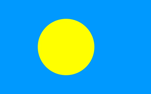
The flag of Palau is a plain light blue field with a large yellow disc. The disc sits slightly off center, shifted toward the hoist, the side nearest the flagpole. The design has no stars, stripes, text or coat of arms, and the yellow of the disc is often described as golden.
Frequently asked questions
Where is Palau located?
Palau is in the western Pacific Ocean, in the Micronesia region of Oceania. It lies east of the Philippines, north of eastern Indonesia and southwest of the US territory of Guam.
How many states does Palau have?
Palau has 16 states. They range from Koror, home to most Palauans, to tiny Sonsorol and Hatohobei, which lie hundreds of kilometers southwest of the main islands.
What is the capital of Palau?
The capital of Palau is Ngerulmud in Melekeok State on the island of Babeldaob. It replaced Koror in 2006, although Koror remains the largest town and main commercial center.
What countries border Palau?
Palau has no land borders with other countries: all its borders are at sea.
What language is spoken in Palau?
The official languages are English, Palauan, and Japanese.
Can I print the map of Palau?
Yes. Every map on this page can be downloaded for free as PNG or PDF (US Letter) and printed, including the blank map and the coloring map. Please credit the source (Atlas of Maps, CC BY 4.0).
Use this map
You can download, print and share this map for free, in class, in school projects, in presentations and on websites, as long as you credit the source: Map of Palau · Atlas of Maps (atlasofmaps.com), license CC BY 4.0.
See also: Map of Oceania · World map