Map of Saint Kitts and Nevis with regions and capitals
Saint Kitts and Nevis is a two-island country in the Caribbean, in the Leeward Islands of the Lesser Antilles. It lies between the Atlantic Ocean and the Caribbean Sea, southeast of Puerto Rico, and has no land borders. The political map shows its 14 regions, the capital, Basseterre, and major cities.

- Capital
- Basseterre
- Population
- 46,922 (2025)
- Area
- 269 km² (104 sq mi)
- Population density
- 174 per km² (452 per sq mi)
- Official language
- English
- Currency
- Eastern Caribbean dollar
- Demonym
- Kittitian
- Regions
- 14
- Highest point
- Mount Liamuiga (1,156 m (3,793 ft))
- Calling code
- +1869
- Internet domain
- .kn
Where is Saint Kitts and Nevis?
Saint Kitts and Nevis is a two-island country in the Caribbean, in the Leeward Islands of the Lesser Antilles. It lies between the Atlantic Ocean and the Caribbean Sea, southeast of Puerto Rico, and has no land borders.

Regions of Saint Kitts and Nevis and their capitals
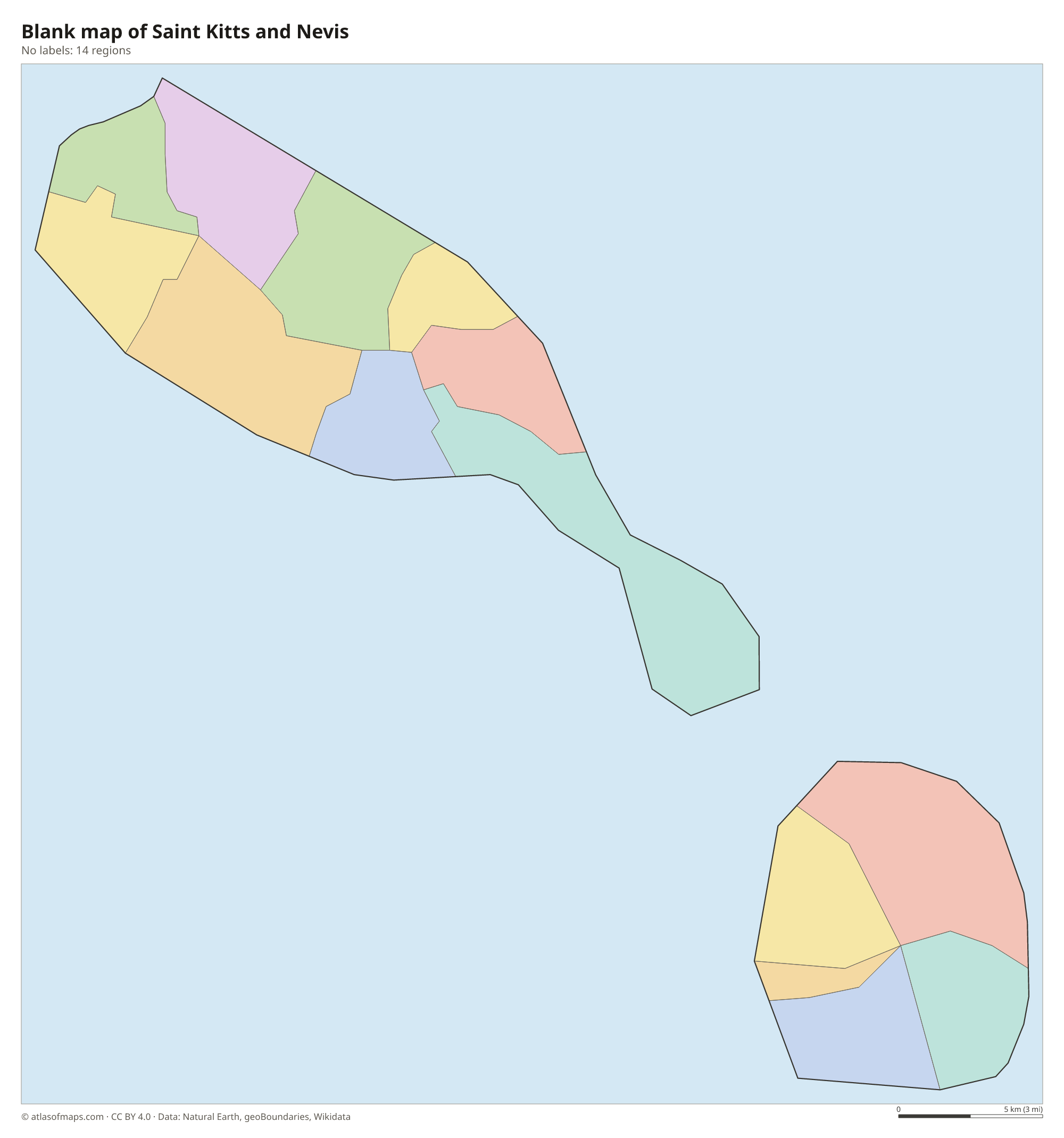
Saint Kitts and Nevis is divided into 14 parishes, 9 on Saint Kitts and 5 on Nevis, all shown on the map. Nevis has its own island assembly and administration, with Charlestown as its main town.
| Region | Capital | Population | Area |
|---|---|---|---|
| Christ Church Nichola Town | Nichola Town | 1,922 | 18 km² (6.9 sq mi) |
| Saint Anne Sandy Point | Sandy Point Town | 2,626 | 13 km² (5 sq mi) |
| Saint George Basseterre | Basseterre | 12,635 | 29 km² (11 sq mi) |
| Saint George Gingerland | Market Shop | 2,496 | 19 km² (7.3 sq mi) |
| Saint James Windward | Newcastle | 2,038 | 32 km² (12 sq mi) |
| Saint John Capisterre | Dieppe Bay Town | 2,962 | 24 km² (9.3 sq mi) |
| Saint John Figtree | Figtree | 3,827 | 22 km² (8.5 sq mi) |
| Saint Mary Cayon | Cayon | 3,435 | 15 km² (5.8 sq mi) |
| Saint Paul Capisterre | Saint Paul Capisterre | 2,432 | 13 km² (5 sq mi) |
| Saint Paul Charlestown | Charlestown | 1,847 | 4 km² (1.5 sq mi) |
| Saint Peter Basseterre | Monkey Hill | 4,670 | 20 km² (7.7 sq mi) |
| Saint Thomas Lowland | Cotton Ground | 2,069 | 18 km² (6.9 sq mi) |
| Saint Thomas Middle Island | Middle Island | 2,657 | 24 km² (9.3 sq mi) |
| Trinity Palmetto Point | Trinity | 1,701 | 15 km² (5.8 sq mi) |
Population from Wikidata (latest figure available for each region).
Blank and coloring maps of Saint Kitts and Nevis
Blank map of Saint Kitts and Nevis

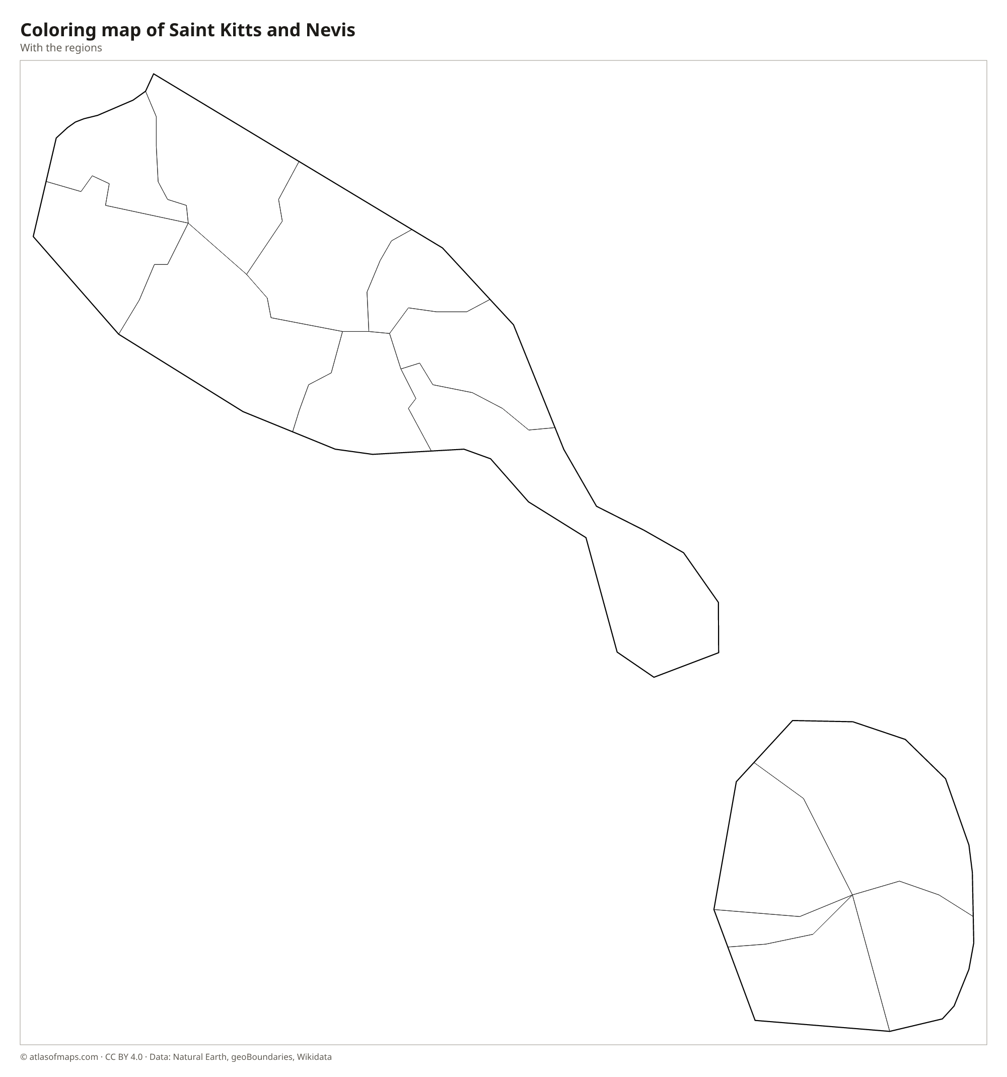
Coloring map of Saint Kitts and Nevis

Geography of Saint Kitts and Nevis
Both islands are volcanic. Saint Kitts, the larger, has a rugged central range topped by Mount Liamuiga, the country's highest point at 1,156 m (3,793 ft), a dormant volcano with a crater at its summit. Its southeastern end is a narrow, low peninsula with salt ponds and sheltered beaches. Nevis, to the southeast, is almost round and dominated by a single cone, Nevis Peak, whose top is often hidden in clouds. A channel called the Narrows, only a few kilometers wide, separates the two islands.
Rainforest covers the upper slopes of the mountains, while the lower slopes were long used for sugarcane plantations. Parts of Saint Kitts have black volcanic sand, while the Southeast Peninsula and Nevis have pale sand beaches. There are no large rivers, only short streams and dry gullies known locally as ghauts. The climate is tropical and cooled by trade winds, with a rainier season in the second half of the year, when hurricanes can pass through.
Fun facts
- Saint Kitts and Nevis is the smallest country in the Americas, both in area and in population.
- Brimstone Hill Fortress on Saint Kitts is a UNESCO World Heritage Site.
- Alexander Hamilton, one of the founding fathers of the United States, was born in Charlestown on Nevis.
Flag of Saint Kitts and Nevis
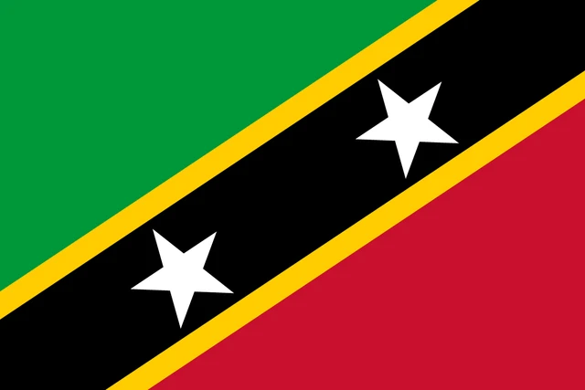
The flag of Saint Kitts and Nevis is divided diagonally by a wide black band, edged in yellow, running from the lower hoist corner to the upper fly corner. The black band carries two white five-pointed stars. The triangle above the band, at the hoist, is green, and the triangle below it, at the fly, is red.
Flag of Saint Kitts and Nevis: meaning, colors and download →
Frequently asked questions
What is the capital of Saint Kitts and Nevis?
The capital is Basseterre, on the southwest coast of Saint Kitts. It is the largest town and the main port; Charlestown is the main town on Nevis.
How many parishes does Saint Kitts and Nevis have?
The country has 14 parishes: 9 on Saint Kitts and 5 on Nevis. Most are named after a saint, such as Saint George Basseterre or Saint Thomas Lowland.
Where is Saint Kitts and Nevis?
Saint Kitts and Nevis is in the eastern Caribbean, in the northern Leeward Islands. Its nearest neighbors are Sint Eustatius to the northwest, Antigua and Barbuda to the east and Montserrat to the southeast.
What countries border Saint Kitts and Nevis?
Saint Kitts and Nevis has no land borders with other countries: all its borders are at sea.
How many regions does Saint Kitts and Nevis have?
Saint Kitts and Nevis is divided into 14 regions: Christ Church Nichola Town, Saint Anne Sandy Point, Saint George Basseterre, Saint George Gingerland, Saint James Windward, Saint John Capisterre, Saint John Figtree, Saint Mary Cayon, Saint Paul Capisterre, Saint Paul Charlestown, Saint Peter Basseterre, Saint Thomas Lowland, Saint Thomas Middle Island, and Trinity Palmetto Point.
What language is spoken in Saint Kitts and Nevis?
The official language is English.
Can I print the map of Saint Kitts and Nevis?
Yes. Every map on this page can be downloaded for free as PNG or PDF (US Letter) and printed, including the blank map and the coloring map. Please credit the source (Atlas of Maps, CC BY 4.0).
Use this map
You can download, print and share this map for free, in class, in school projects, in presentations and on websites, as long as you credit the source: Map of Saint Kitts and Nevis · Atlas of Maps (atlasofmaps.com), license CC BY 4.0.
See also: Map of North America · Map of the Caribbean · World map