Map of Saint Lucia with regions and capitals
Saint Lucia is an island country in the eastern Caribbean, part of the Windward Islands of the Lesser Antilles. It lies between the Atlantic Ocean and the Caribbean Sea, south of Martinique and north of Saint Vincent. The political map shows its 11 regions, the capital, Castries, and major cities.

- Capital
- Castries
- Population
- 167,591 (2023)
- Area
- 617 km² (238 sq mi)
- Population density
- 272 per km² (703 per sq mi)
- Official language
- English
- Currency
- Eastern Caribbean dollar
- Demonym
- Saint Lucian
- Regions
- 11
- Highest point
- Mount Gimie (952 m (3,123 ft))
- Calling code
- +1758
- Internet domain
- .lc
Where is Saint Lucia?
Saint Lucia is an island country in the eastern Caribbean, part of the Windward Islands of the Lesser Antilles. It lies between the Atlantic Ocean and the Caribbean Sea, south of Martinique and north of Saint Vincent.

Regions of Saint Lucia and their capitals
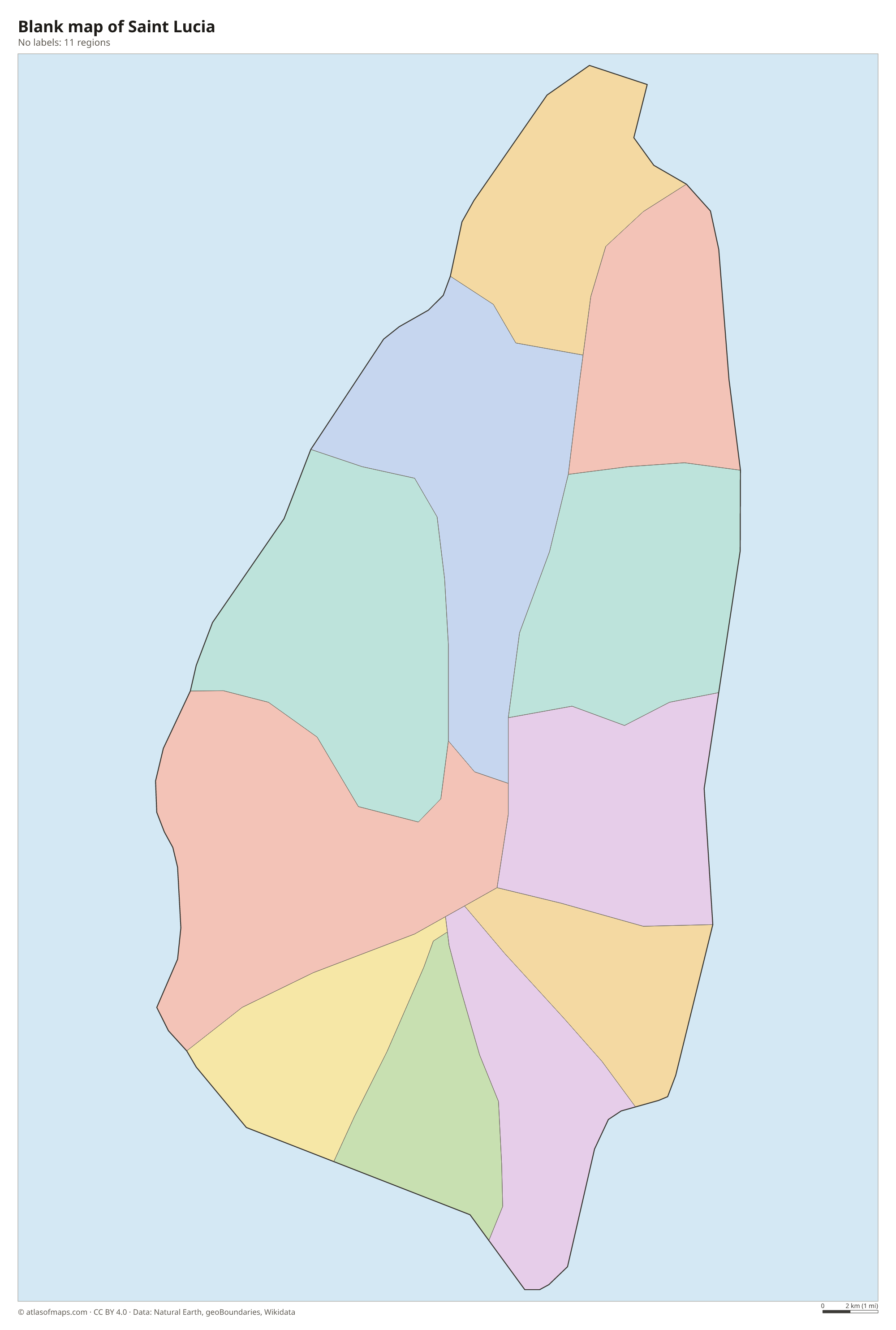
Saint Lucia is divided into districts traditionally called quarters, and the map shows 11 of them, from Gros Islet in the north to Vieux Fort in the south. Castries Quarter contains the capital and much of the population.
| Region | Capital | Population | Area |
|---|---|---|---|
| Anse la Raye Quarter | Anse La Raye | 6,247 | 31 km² (12 sq mi) |
| Castries Quarter | Castries | 65,656 | 103 km² (40 sq mi) |
| Choiseul Quarter | Choiseul | 6,128 | 26 km² (10 sq mi) |
| Dauphin Quarter | — | — | — |
| Dennery Quarter | — | 12,767 | 72 km² (28 sq mi) |
| Gros Islet Quarter | — | 20,872 | 100 km² (39 sq mi) |
| Laborie Quarter | — | 7,363 | 34 km² (13 sq mi) |
| Micoud Quarter | — | 16,284 | 112 km² (43 sq mi) |
| Praslin Quarter | — | — | — |
| Soufrière Quarter | — | 7,657 | 58 km² (22 sq mi) |
| Vieux Fort Quarter | Vieux Fort | 14,754 | 50 km² (19 sq mi) |
Population from Wikidata (latest figure available for each region).
Blank and coloring maps of Saint Lucia
Blank map of Saint Lucia

Coloring map of Saint Lucia

Geography of Saint Lucia
Saint Lucia is a mountainous volcanic island, shaped somewhat like a teardrop. A forested central ridge runs from north to south and reaches its highest point at Mount Gimie, 952 m (3,123 ft). The island's best-known landmarks are the Pitons, two steep volcanic spires, Gros Piton and Petit Piton, rising straight from the sea near Soufrière on the southwest coast. Nearby is Sulphur Springs, a volcanic area with hot springs and steaming vents. The north and the southeast have flatter land and small coastal plains.
Short rivers run from the central mountains to the sea through deep, green valleys, such as the Roseau Valley, long used for growing bananas. The west coast faces the calm Caribbean and has sheltered bays, including the harbor of Castries and Marigot Bay, while the east coast faces the rougher Atlantic. Rainforest covers the interior and shelters the Saint Lucia parrot, the national bird. The climate is tropical, with a drier season from about January to April and a wetter season later in the year, when hurricanes are possible.
Fun facts
- The Pitons Management Area near Soufrière is a UNESCO World Heritage Site.
- Sulphur Springs is often described as a drive-in volcano, because a road leads right into the old crater area.
- Martinique, a French overseas region, is visible from northern Saint Lucia on clear days.
Flag of Saint Lucia
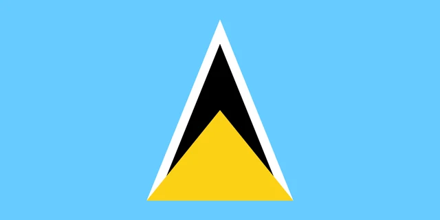
The flag of Saint Lucia is a cerulean blue field with a central emblem of overlapping triangles. A black triangle edged in white stands behind a smaller golden yellow triangle; both point upward and share the same base in the lower half of the flag.
Frequently asked questions
What is the capital of Saint Lucia?
The capital and largest city is Castries, built around a natural harbor on the northwest coast. Cruise ships and cargo ships dock in its sheltered bay.
How many quarters does Saint Lucia have?
The map divides Saint Lucia into 11 quarters, its traditional districts, including Castries, Gros Islet, Soufrière and Vieux Fort. Each takes its name from its main town or village.
What islands are near Saint Lucia?
Martinique lies just to the north across the Saint Lucia Channel, and Saint Vincent lies to the southwest across the Saint Vincent Passage. Barbados is farther away to the southeast.
What countries border Saint Lucia?
Saint Lucia has no land borders with other countries: all its borders are at sea.
How many regions does Saint Lucia have?
Saint Lucia is divided into 11 regions: Anse la Raye Quarter, Castries Quarter, Choiseul Quarter, Dauphin Quarter, Dennery Quarter, Gros Islet Quarter, Laborie Quarter, Micoud Quarter, Praslin Quarter, Soufrière Quarter, and Vieux Fort Quarter.
What language is spoken in Saint Lucia?
The official language is English.
Can I print the map of Saint Lucia?
Yes. Every map on this page can be downloaded for free as PNG or PDF (US Letter) and printed, including the blank map and the coloring map. Please credit the source (Atlas of Maps, CC BY 4.0).
Use this map
You can download, print and share this map for free, in class, in school projects, in presentations and on websites, as long as you credit the source: Map of Saint Lucia · Atlas of Maps (atlasofmaps.com), license CC BY 4.0.
See also: Map of North America · Map of the Caribbean · World map