Map of Saint Vincent and the Grenadines with regions and capitals
Saint Vincent and the Grenadines is an island country in the eastern Caribbean, in the Windward Islands of the Lesser Antilles. It lies south of Saint Lucia, west of Barbados and north of Grenada, between the Caribbean Sea and the Atlantic Ocean. The political map shows its 6 regions, the capital, Kingstown, and major cities.

- Capital
- Kingstown
- Population
- 109,897 (2017)
- Area
- 389 km² (150 sq mi)
- Population density
- 283 per km² (732 per sq mi)
- Official language
- English
- Currency
- Eastern Caribbean dollar
- Demonym
- Vincentian
- Regions
- 6
- Highest point
- La Soufrière (1,220 m (4,003 ft))
- Calling code
- +1784
- Internet domain
- .vc
Where is Saint Vincent and the Grenadines?
Saint Vincent and the Grenadines is an island country in the eastern Caribbean, in the Windward Islands of the Lesser Antilles. It lies south of Saint Lucia, west of Barbados and north of Grenada, between the Caribbean Sea and the Atlantic Ocean.

Regions of Saint Vincent and the Grenadines and their capitals
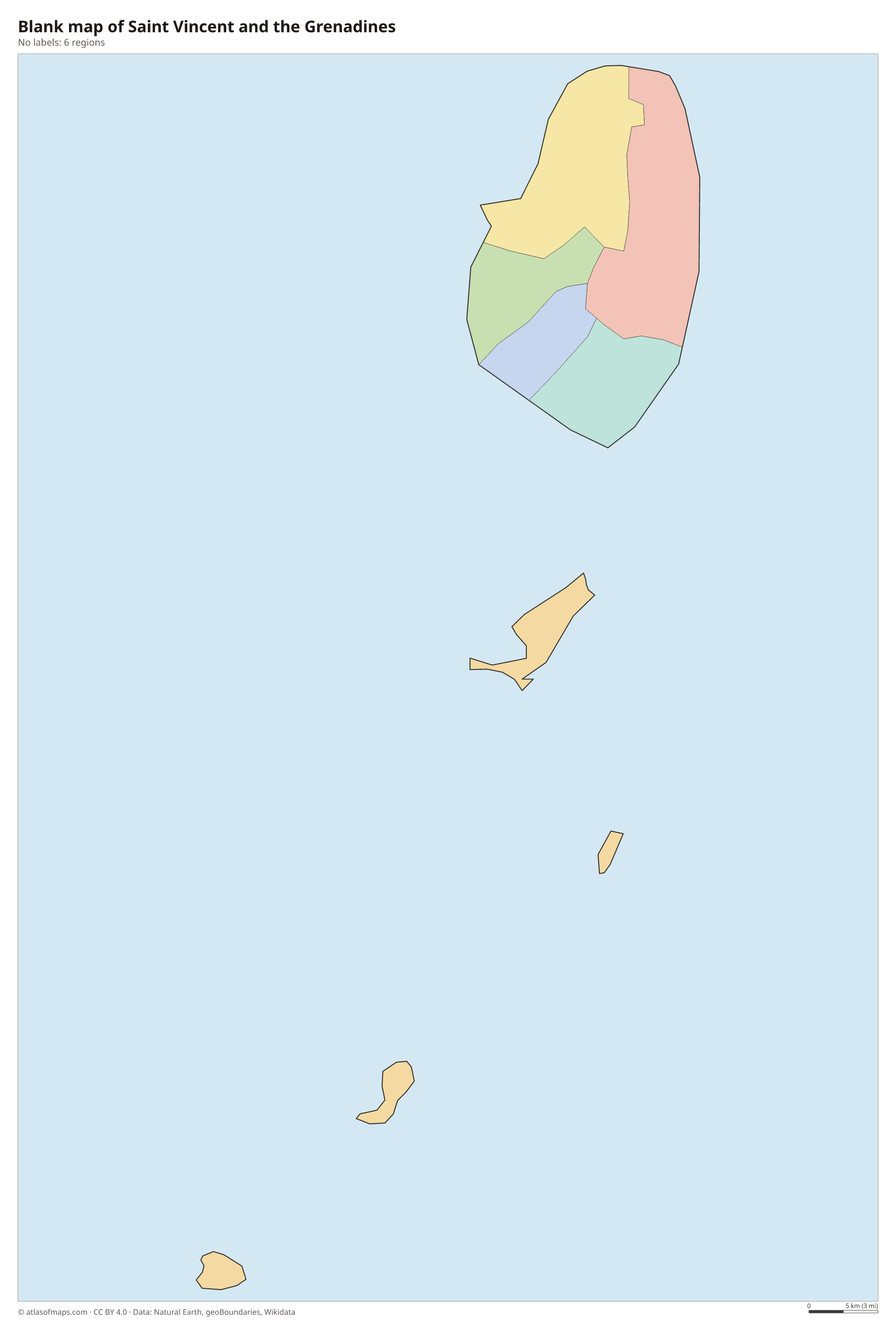
Saint Vincent and the Grenadines is divided into 6 parishes, shown on the map. Five of them, Charlotte, Saint Andrew, Saint David, Saint George and Saint Patrick, are on the main island, and the Grenadines form a single parish.
| Region | Capital | Population | Area |
|---|---|---|---|
| Charlotte | Georgetown | — | 149 km² (58 sq mi) |
| Grenadines | Port Elizabeth | 9,200 | 44 km² (17 sq mi) |
| Saint Andrew | Layou | — | 29 km² (11 sq mi) |
| Saint David | Chateaubelair | — | 80 km² (31 sq mi) |
| Saint George | Kingstown | — | 52 km² (20 sq mi) |
| Saint Patrick | Barrouallie | — | 37 km² (14 sq mi) |
Population from Wikidata (latest figure available for each region).
Blank and coloring maps of Saint Vincent and the Grenadines
Blank map of Saint Vincent and the Grenadines

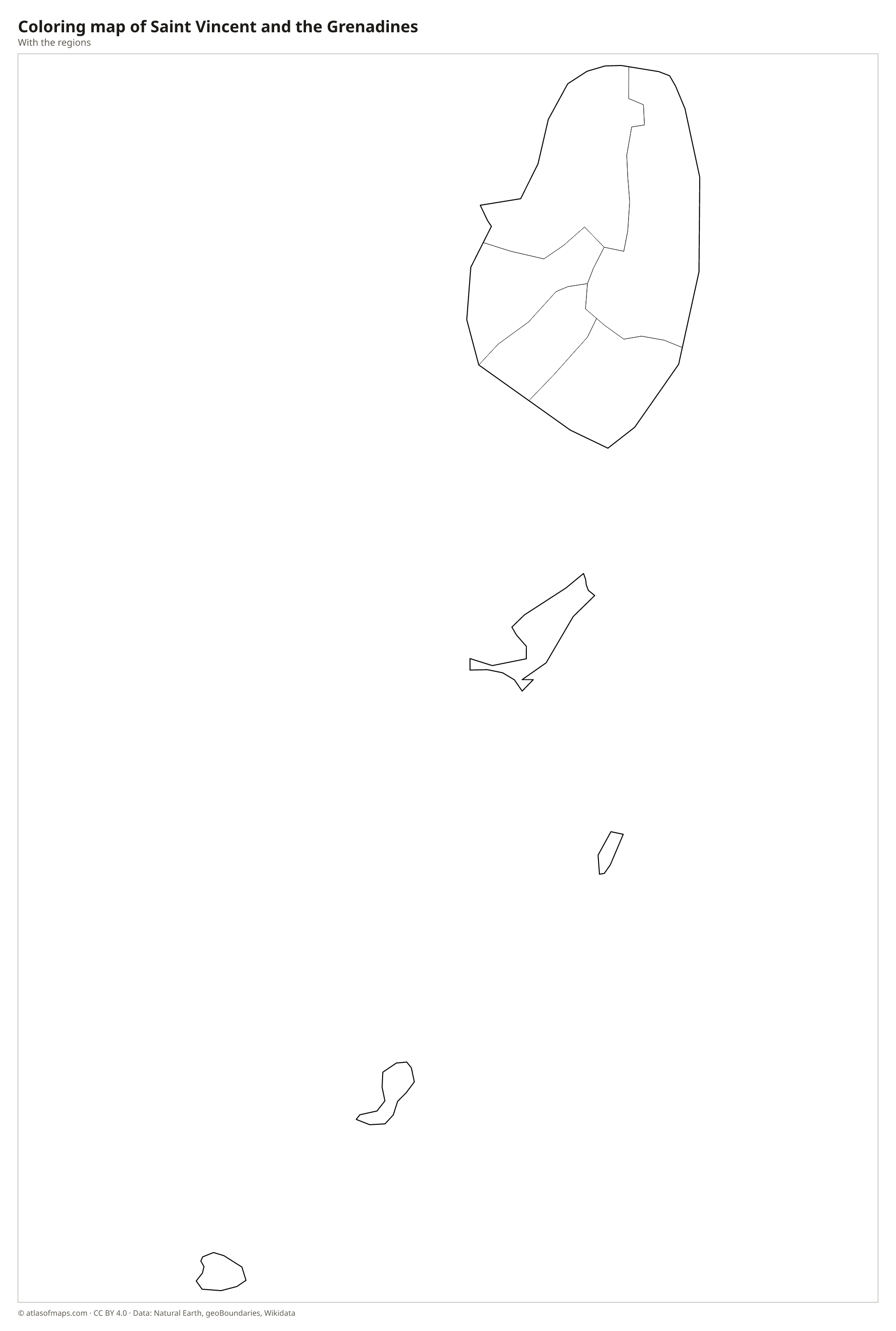
Coloring map of Saint Vincent and the Grenadines

Geography of Saint Vincent and the Grenadines
The country consists of the main island, Saint Vincent, and the northern part of the Grenadines, a chain of small islands stretching south toward Grenada. Saint Vincent is volcanic and rugged, with forested mountains running down its center. In the north stands La Soufrière, an active volcano and the highest point at 1,220 m (4,003 ft), which last erupted in 2021. The Grenadines, including Bequia, Mustique, Canouan, Mayreau and Union Island, are much lower and drier, and are surrounded by coral reefs and white sand beaches.
Saint Vincent has many short, fast rivers that run from the mountains to the sea. Its east coast faces the Atlantic and is rough, while the sheltered west coast faces the Caribbean; Kingstown lies in the southwest. Black volcanic sand is common on the main island. The Tobago Cays, a group of uninhabited islets inside a horseshoe-shaped reef in the southern Grenadines, form a protected marine park. The climate is tropical, with a rainy season from about June to November, when hurricanes may occur.
Fun facts
- Several of the southern Grenadines, including Carriacou, belong to Grenada rather than to Saint Vincent and the Grenadines.
- The 2021 eruption of La Soufrière forced the evacuation of the northern part of Saint Vincent.
- Kingstown, the capital, is the largest town and the main port of the country.
Flag of Saint Vincent and the Grenadines
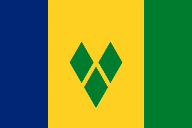
The flag of Saint Vincent and the Grenadines has three vertical stripes of blue, yellow and green, with the yellow center stripe twice as wide as the others. In the middle of the yellow stripe are three green diamonds arranged in a V shape. There is no coat of arms or text.
Flag of Saint Vincent and the Grenadines: meaning, colors and download →
Frequently asked questions
What is the capital of Saint Vincent and the Grenadines?
The capital is Kingstown, on the southwest coast of the island of Saint Vincent. It is the country's largest town, its main port and the hub for ferries to the Grenadines.
How many parishes does Saint Vincent and the Grenadines have?
The country has 6 parishes. Five are on the island of Saint Vincent, and the sixth, the Grenadines parish, groups the smaller islands to the south.
What are the Grenadines?
The Grenadines are a chain of small islands and cays between Saint Vincent and Grenada. The northern ones, such as Bequia and Mustique, belong to Saint Vincent and the Grenadines, the southern ones to Grenada.
What countries border Saint Vincent and the Grenadines?
Saint Vincent and the Grenadines has no land borders with other countries: all its borders are at sea.
How many regions does Saint Vincent and the Grenadines have?
Saint Vincent and the Grenadines is divided into 6 regions: Charlotte, Grenadines, Saint Andrew, Saint David, Saint George, and Saint Patrick.
What language is spoken in Saint Vincent and the Grenadines?
The official language is English.
Can I print the map of Saint Vincent and the Grenadines?
Yes. Every map on this page can be downloaded for free as PNG or PDF (US Letter) and printed, including the blank map and the coloring map. Please credit the source (Atlas of Maps, CC BY 4.0).
Use this map
You can download, print and share this map for free, in class, in school projects, in presentations and on websites, as long as you credit the source: Map of Saint Vincent and the Grenadines · Atlas of Maps (atlasofmaps.com), license CC BY 4.0.
See also: Map of North America · Map of the Caribbean · World map