Map of Samoa with regions and capitals
Samoa is an island country in Polynesia, in the South Pacific Ocean, roughly halfway between Hawaii and New Zealand. It has no land borders; American Samoa lies just to the east, and Tonga and Fiji lie to the south and southwest. The political map shows its 11 regions, the capital, Apia, and major cities.

- Capital
- Apia
- Population
- 200,010 (2021)
- Area
- 2,842 km² (1,097 sq mi)
- Population density
- 70 per km² (182 per sq mi)
- Official languages
- English and Samoan
- Currency
- Samoan tālā
- Demonym
- Samoan
- Regions
- 11
- Highest point
- Silisili (1,858 m (6,096 ft))
- Calling code
- +685
- Internet domain
- .ws
Where is Samoa?
Samoa is an island country in Polynesia, in the South Pacific Ocean, roughly halfway between Hawaii and New Zealand. It has no land borders; American Samoa lies just to the east, and Tonga and Fiji lie to the south and southwest.

Regions of Samoa and their capitals
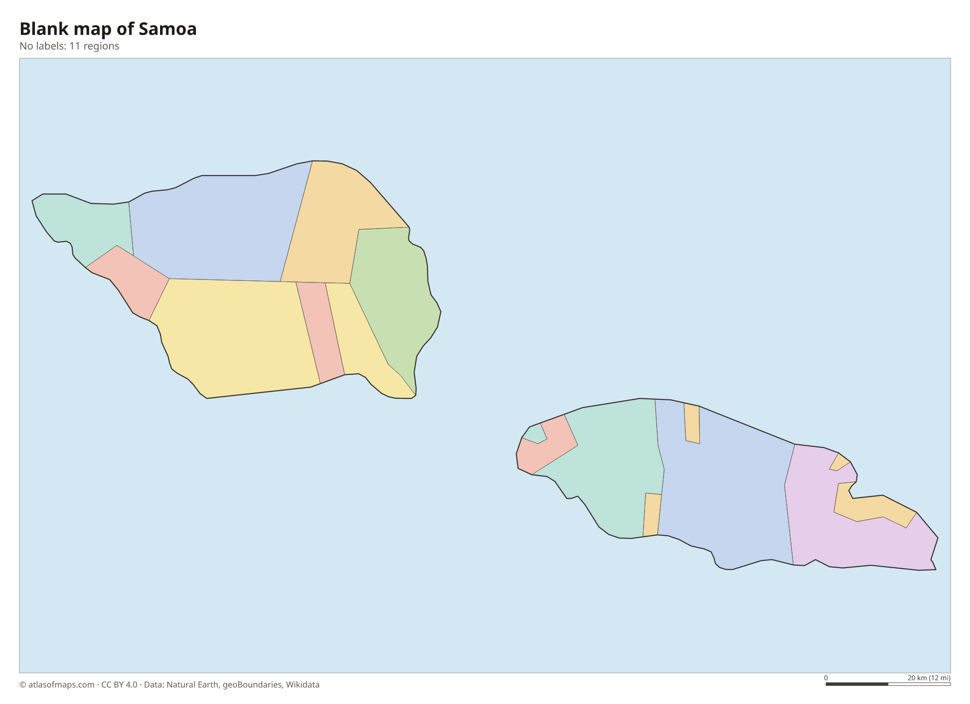
Samoa is divided into 11 districts, shown on the map. Some lie on Upolu, such as Tuamasaga, A'ana and Atua, and others on Savai'i, such as Fa'asaleleaga and Vaisigano. Apia lies in Tuamasaga.
| Region | Capital | Population | Area |
|---|---|---|---|
| A'ana | Leulumoega | 21,769 | 193 km² (75 sq mi) |
| Aiga-i-le-Tai | Mulifanua | — | — |
| Atua | Lufilufi | — | — |
| Fa'asaleleaga | — | — | — |
| Gaga'emauga | — | — | — |
| Gaga'ifomauga | — | — | — |
| Palauli | — | — | — |
| Satupa'itea | — | — | — |
| Tuamasaga | Afega | 89,582 | 479 km² (185 sq mi) |
| Va'a-o-Fonoti | — | — | — |
| Vaisigano | — | — | — |
Population from Wikidata (latest figure available for each region).
Blank and coloring maps of Samoa
Blank map of Samoa

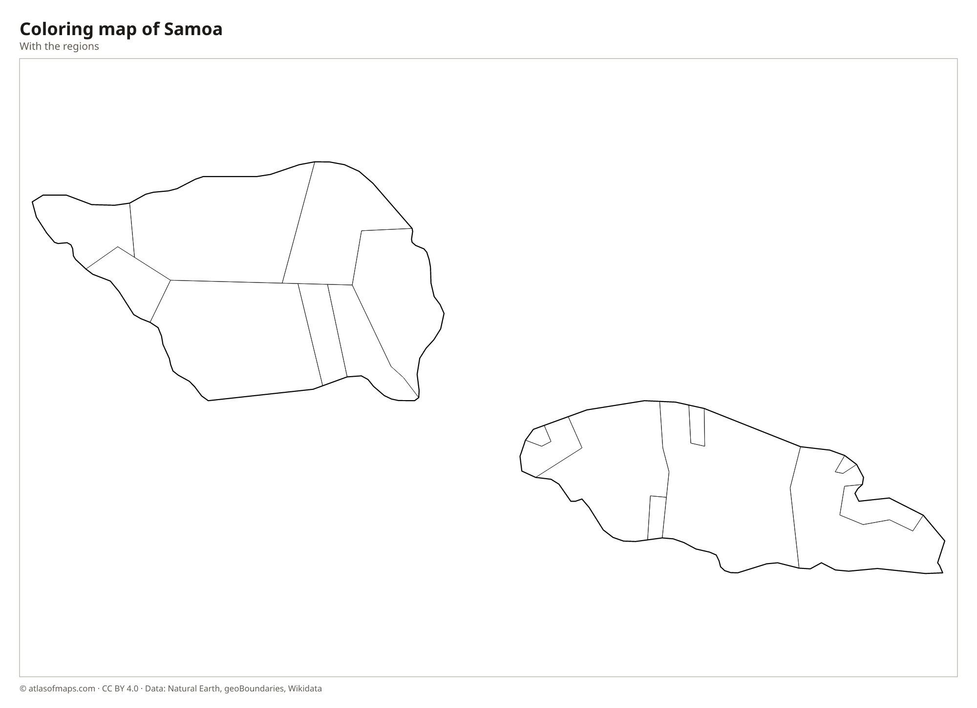
Coloring map of Samoa

Geography of Samoa
Samoa consists of two large islands, Savai'i and Upolu, and several smaller ones, including Manono and Apolima in the strait between them. Both main islands are volcanic. Savai'i, the larger, is a broad shield volcano with black lava fields from eruptions in the early 20th century and the country's highest point, Mount Silisili, at 1,858 m (6,096 ft). Upolu, home to most Samoans and to the capital, Apia, has a mountainous spine with waterfalls and crater lakes such as Lake Lanoto'o.
The coasts have coral reefs, lagoons and white sand beaches, as well as striking features such as the To Sua Ocean Trench, a deep swimming hole on Upolu, and the Alofaaga blowholes on Savai'i, where waves shoot jets of water into the air. Rainforest covers the uplands, though much lowland forest has been cleared for plantations. Rivers are mostly short streams. The climate is tropical and humid, with a wet season from about November to April, when cyclones can strike.
Fun facts
- In 2011, Samoa moved to the west side of the International Date Line and skipped December 30 that year.
- Savai'i is the largest island in Polynesia outside Hawaii and New Zealand.
- Apia, on the north coast of Upolu, is the capital and by far the largest town in Samoa.
Flag of Samoa
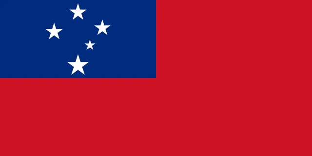
The flag of Samoa is red with a blue rectangle in the upper hoist corner. The blue canton holds five white five-pointed stars arranged as the Southern Cross constellation: four larger stars and one smaller one. The rest of the flag is plain red, with no coat of arms.
Frequently asked questions
Where is Samoa located?
Samoa is in the South Pacific Ocean, in Polynesia, northeast of Fiji and north of Tonga. It lies just west of American Samoa, a territory of the United States.
What is the difference between Samoa and American Samoa?
Samoa is an independent country made up of the western islands of the Samoan chain. American Samoa, to the east, is a territory of the United States, with its capital at Pago Pago.
How many districts does Samoa have?
Samoa has 11 districts, spread across the two main islands, Upolu and Savai'i, and the small islands between them. The capital, Apia, is in the Tuamasaga district.
What is the capital of Samoa?
The capital of Samoa is Apia.
What countries border Samoa?
Samoa has no land borders with other countries: all its borders are at sea.
How many regions does Samoa have?
Samoa is divided into 11 regions: A'ana, Aiga-i-le-Tai, Atua, Fa'asaleleaga, Gaga'emauga, Gaga'ifomauga, Palauli, Satupa'itea, Tuamasaga, Va'a-o-Fonoti, and Vaisigano.
What language is spoken in Samoa?
The official languages are English and Samoan.
Can I print the map of Samoa?
Yes. Every map on this page can be downloaded for free as PNG or PDF (US Letter) and printed, including the blank map and the coloring map. Please credit the source (Atlas of Maps, CC BY 4.0).
Use this map
You can download, print and share this map for free, in class, in school projects, in presentations and on websites, as long as you credit the source: Map of Samoa · Atlas of Maps (atlasofmaps.com), license CC BY 4.0.
See also: Map of Oceania · World map