Map of San Marino with regions and capitals
San Marino is a tiny country in Southern Europe, completely surrounded by Italy. It lies in the northeast of the Italian peninsula, close to the Adriatic Sea, between the Italian regions of Emilia-Romagna and Marche. The political map shows its 9 regions, the capital, San Marino, and major cities.

- Capital
- San Marino
- Population
- 34,167 (2026)
- Area
- 61 km² (24 sq mi)
- Population density
- 560 per km² (1,451 per sq mi)
- Official language
- Italian
- Currency
- euro
- Demonym
- Sammarinese
- Regions
- 9
- Highest point
- Monte Titano (756 m (2,480 ft))
- Calling code
- +378
- Internet domain
- .sm
Where is San Marino?
San Marino is a tiny country in Southern Europe, completely surrounded by Italy. It lies in the northeast of the Italian peninsula, close to the Adriatic Sea, between the Italian regions of Emilia-Romagna and Marche.
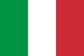
Neighboring countries: Italy.

Regions of San Marino
San Marino is divided into 9 municipalities called castelli, meaning castles, all shown on the map. They include the City of San Marino, the capital, as well as Serravalle and Borgo Maggiore, the largest towns.
| Region | Population | Area |
|---|---|---|
| Acquaviva | 2,118 | 5 km² (1.9 sq mi) |
| Borgo Maggiore | 6,962 | 9 km² (3.5 sq mi) |
| Chiesanuova | 1,097 | 5 km² (1.9 sq mi) |
| Domagnano | 3,620 | 7 km² (2.7 sq mi) |
| Faetano | 1,206 | 8 km² (3.1 sq mi) |
| Fiorentino | 2,526 | 7 km² (2.7 sq mi) |
| Montegiardino | 910 | 3 km² (1.2 sq mi) |
| San Marino | 4,040 | 7 km² (2.7 sq mi) |
| Serravalle | 10,591 | 11 km² (4.2 sq mi) |
Population from Wikidata (latest figure available for each region).
Blank and coloring maps of San Marino
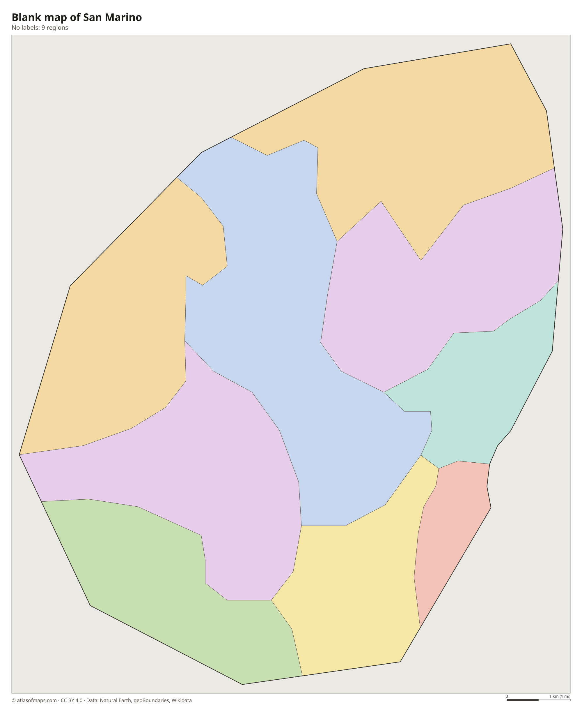
Blank map of San Marino

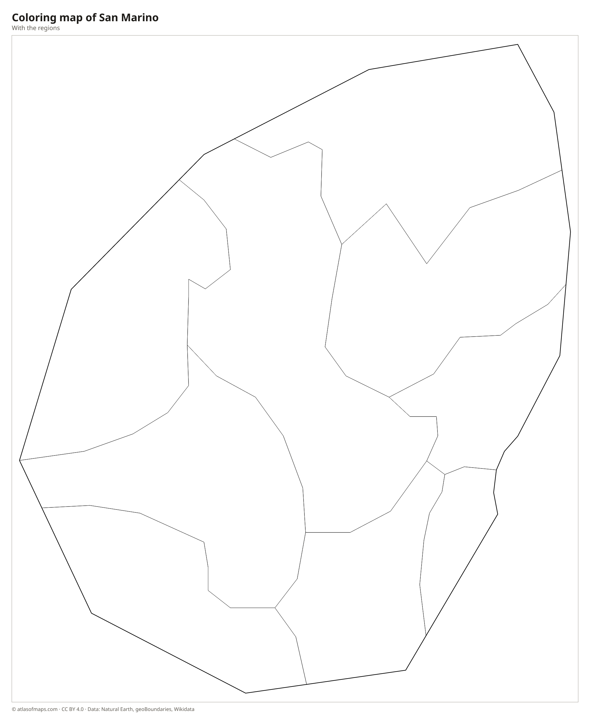
Coloring map of San Marino

Geography of San Marino
San Marino covers only 61 km² (24 sq mi) on the edge of the Apennine foothills. Its landscape is dominated by Monte Titano, a limestone ridge with sheer cliffs on one side, which reaches 756 m (2,480 ft) at its highest point. The historic City of San Marino and its three medieval towers sit along the crest. Around the mountain the land falls away in rolling hills, farmland and woods toward the Italian border, and on clear days the summit offers views to the Adriatic coast near Rimini.
San Marino is landlocked and has no natural lakes, but small rivers such as the Ausa and the Marano flow through it toward the Adriatic, which lies only about 10 km (6 mi) beyond its eastern border. The climate is Mediterranean with continental influences: summers are warm, and winters can be cold enough for snow on Monte Titano. Outside the towns, much of the land is used for farming, vineyards and olive groves, and the steep slopes keep most building in the valleys and along the ridge.
Fun facts
- San Marino is one of only three countries entirely surrounded by a single other country, along with Vatican City and Lesotho.
- According to tradition, San Marino was founded in 301, making it one of the oldest republics in the world.
- San Marino uses the euro, although it is not a member of the European Union.
Flag of San Marino
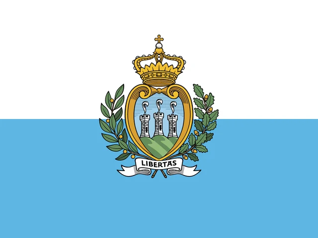
The flag of San Marino has two equal horizontal stripes, white above and light blue below. The state flag carries the national coat of arms in the center: a shield showing three towers on three peaks, topped by a crown and framed by oak and laurel branches, with a ribbon bearing the motto LIBERTAS.
Countries bordering San Marino
Frequently asked questions
Where is San Marino?
San Marino is an enclave inside Italy, in the northeast of the Italian peninsula, about 10 km (6 mi) from the Adriatic coast near Rimini.
What is the capital of San Marino?
The capital is the City of San Marino, built on the ridge of Monte Titano. The largest settlement, however, is Dogana in the municipality of Serravalle, near the Italian border.
How many castelli does San Marino have?
San Marino has 9 castelli, or municipalities: Acquaviva, Borgo Maggiore, Chiesanuova, Domagnano, Faetano, Fiorentino, Montegiardino, San Marino and Serravalle.
What countries border San Marino?
San Marino shares land borders with Italy.
How many regions does San Marino have?
San Marino is divided into 9 regions: Acquaviva, Borgo Maggiore, Chiesanuova, Domagnano, Faetano, Fiorentino, Montegiardino, San Marino, and Serravalle.
What language is spoken in San Marino?
The official language is Italian.
Can I print the map of San Marino?
Yes. Every map on this page can be downloaded for free as PNG or PDF (US Letter) and printed, including the blank map and the coloring map. Please credit the source (Atlas of Maps, CC BY 4.0).
Use this map
You can download, print and share this map for free, in class, in school projects, in presentations and on websites, as long as you credit the source: Map of San Marino · Atlas of Maps (atlasofmaps.com), license CC BY 4.0.
See also: Map of Europe · World map