Map of São Tomé and Príncipe with regions and capitals
São Tomé and Príncipe is an island country in Central Africa, in the Gulf of Guinea of the Atlantic Ocean, off the coast of Gabon. It has no land borders; its nearest neighbors across the sea are Gabon and Equatorial Guinea. The political map shows its 2 regions, the capital, São Tomé, and major cities.

- Capital
- São Tomé
- Population
- 204,327 (2017)
- Area
- 1,001 km² (386 sq mi)
- Population density
- 204 per km² (529 per sq mi)
- Official language
- Portuguese
- Currency
- São Tomé and Príncipe dobra
- Demonym
- Santomean
- Regions
- 2
- Highest point
- Pico de São Tomé (2,024 m (6,640 ft))
- Calling code
- +239
- Internet domain
- .st
Where is São Tomé and Príncipe?
São Tomé and Príncipe is an island country in Central Africa, in the Gulf of Guinea of the Atlantic Ocean, off the coast of Gabon. It has no land borders; its nearest neighbors across the sea are Gabon and Equatorial Guinea.

Regions of São Tomé and Príncipe and their capitals
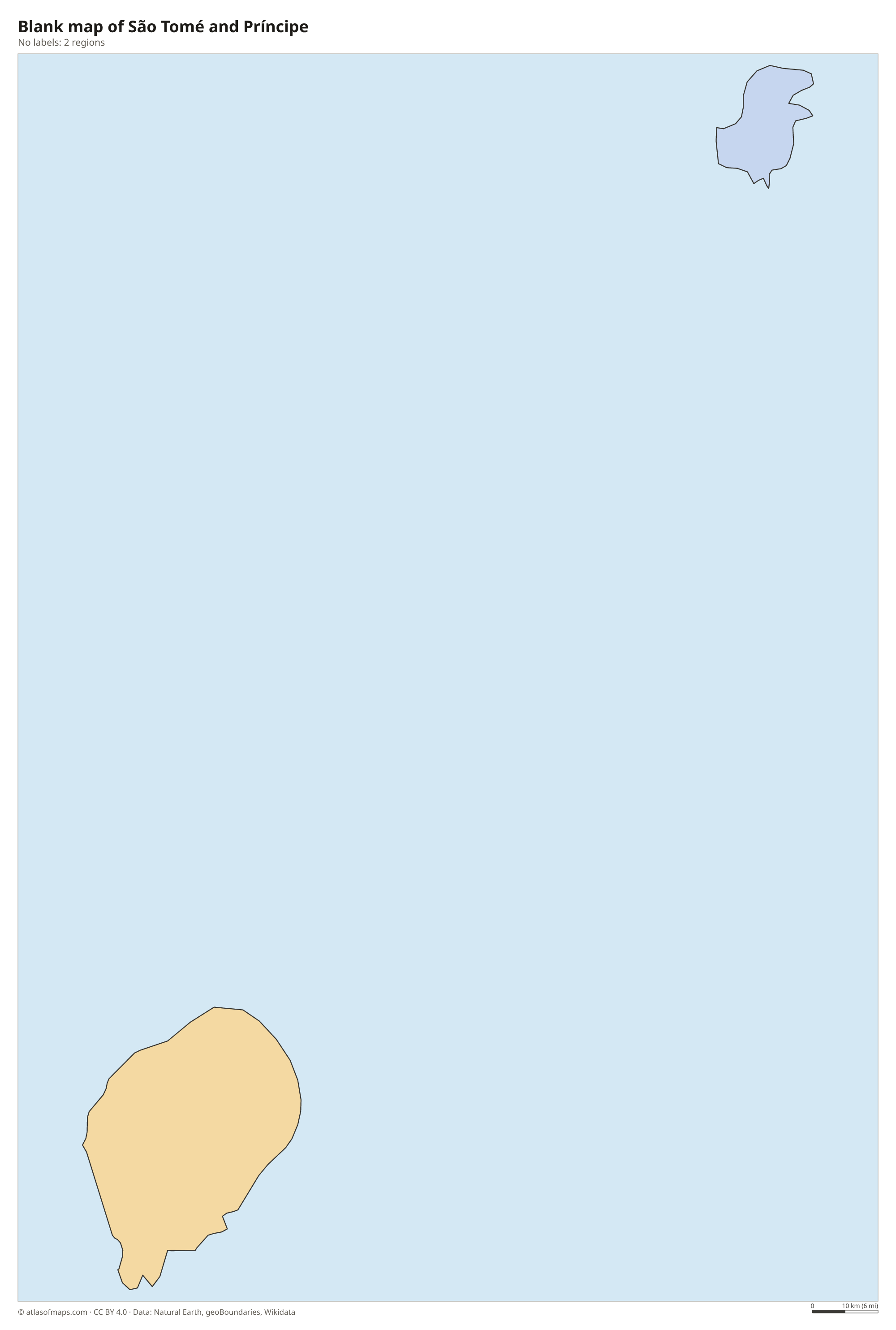
The map shows the country's 2 parts: the island of São Tomé, which is divided into districts, and Príncipe, an autonomous region with its own regional government. The capital, São Tomé, is on the northeast coast of the main island.
| Region | Capital | Population | Area |
|---|---|---|---|
| Príncipe | Santo António | 9,830 | 142 km² (55 sq mi) |
| São Tomé | São Tomé | — | — |
Population from Wikidata (latest figure available for each region).
Blank and coloring maps of São Tomé and Príncipe
Blank map of São Tomé and Príncipe

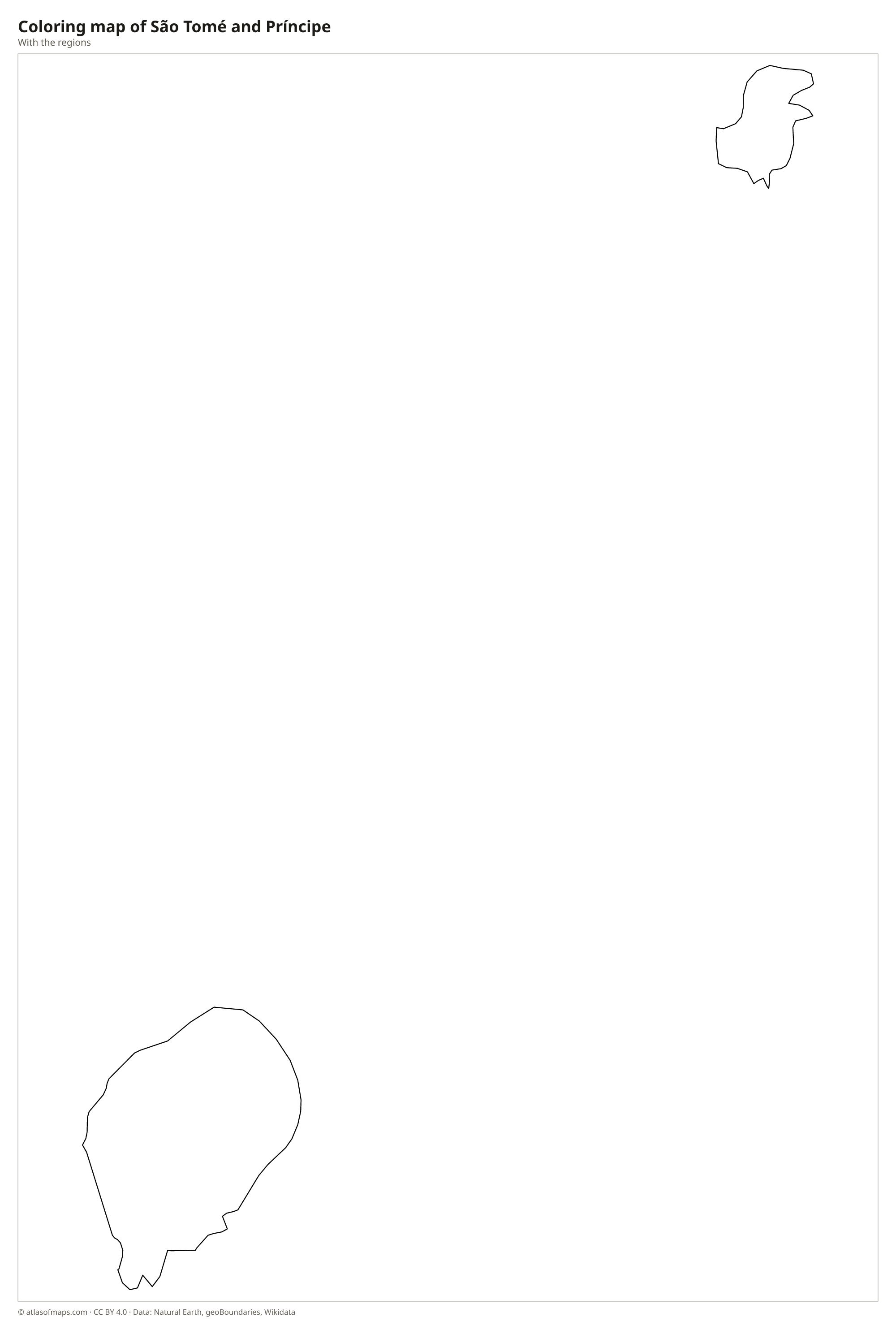
Coloring map of São Tomé and Príncipe

Geography of São Tomé and Príncipe
The country consists of two main volcanic islands, São Tomé and the smaller Príncipe to its northeast, plus several small islets. Both belong to the Cameroon volcanic line, a chain of volcanoes that runs from the mainland out into the Gulf of Guinea. São Tomé is mountainous, rising to Pico de São Tomé, the highest point at 2,024 m (6,640 ft), and its south has dramatic volcanic plugs such as Pico Cão Grande, a needle of rock towering above the forest. Príncipe is lower, with rugged peaks in its south.
The equator passes just south of São Tomé island, across the islet of Ilhéu das Rolas. Dense rainforest covers the mountains and is protected in Obô Natural Park, home to many birds and plants found nowhere else. Rivers are short and fast, with many waterfalls. The climate is hot and humid; the southwest of São Tomé is very wet, while the northeast, around the capital, is drier, with a dry season called the gravana from about June to September. Old cocoa plantations, called roças, cover many lower slopes.
Fun facts
- São Tomé and Príncipe is the second-smallest country in Africa by area, after Seychelles.
- Ilhéu das Rolas, an islet off the southern tip of São Tomé, lies on the equator.
- Príncipe and its surrounding waters are a UNESCO biosphere reserve.
Flag of São Tomé and Príncipe
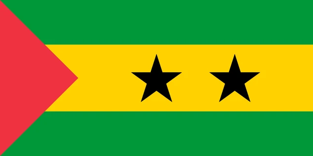
The flag of São Tomé and Príncipe has three horizontal stripes: green, a wider yellow stripe in the middle, and green again. A red triangle sits at the hoist, and two black five-pointed stars are placed side by side on the yellow stripe.
Flag of São Tomé and Príncipe: meaning, colors and download →
Frequently asked questions
Where is São Tomé and Príncipe?
São Tomé and Príncipe lies in the Gulf of Guinea, off the west coast of Central Africa and close to the equator. The nearest mainland country is Gabon, to the east.
What is the capital of São Tomé and Príncipe?
The capital and largest city is São Tomé, on the northeast coast of São Tomé island. The main town of Príncipe is Santo António.
How many islands does São Tomé and Príncipe have?
There are two main islands, São Tomé and Príncipe, which are also the country's 2 units on the map, plus several small islets such as Ilhéu das Rolas.
What countries border São Tomé and Príncipe?
São Tomé and Príncipe has no land borders with other countries: all its borders are at sea.
How many regions does São Tomé and Príncipe have?
São Tomé and Príncipe is divided into 2 regions: Príncipe and São Tomé.
What language is spoken in São Tomé and Príncipe?
The official language is Portuguese.
Can I print the map of São Tomé and Príncipe?
Yes. Every map on this page can be downloaded for free as PNG or PDF (US Letter) and printed, including the blank map and the coloring map. Please credit the source (Atlas of Maps, CC BY 4.0).
Use this map
You can download, print and share this map for free, in class, in school projects, in presentations and on websites, as long as you credit the source: Map of São Tomé and Príncipe · Atlas of Maps (atlasofmaps.com), license CC BY 4.0.
See also: Map of Africa · World map