Map of Seychelles
Seychelles is an island country in the western Indian Ocean, northeast of Madagascar and far off the coast of East Africa. It is counted as part of Africa, has no land borders and is the smallest African country by area. The political map shows its regions, the capital, Victoria, and major cities.

- Capital
- Victoria
- Population
- 119,773 (2023)
- Area
- 459 km² (177 sq mi)
- Population density
- 261 per km² (676 per sq mi)
- Official languages
- French, English, and Seychellois Creole
- Currency
- Seychellois rupee
- Demonym
- Seychellois
- Highest point
- Morne Seychellois (905 m (2,969 ft))
- Calling code
- +248
- Internet domain
- .sc
Where is Seychelles?
Seychelles is an island country in the western Indian Ocean, northeast of Madagascar and far off the coast of East Africa. It is counted as part of Africa, has no land borders and is the smallest African country by area.

Regions of Seychelles
Seychelles is divided into districts, most of them on the main island of Mahé, with the rest on Praslin, La Digue and the nearby inner islands. The divisions on the map come from Natural Earth and may not reflect the latest territorial reform.
The divisions on the map come from Natural Earth and may not reflect the latest territorial reform in Seychelles.
| Region | Population | Area |
|---|---|---|
| Anse Boileau | 4,093 | 12 km² (4.6 sq mi) |
| Anse Etoile | — | — |
| Anse Royale | — | — |
| Anse-aux-Pins | 4,236 | 2 km² (0.8 sq mi) |
| Au Cap | — | — |
| Baie Lazare | — | — |
| Baie Sainte Anne | — | 25 km² (9.7 sq mi) |
| Beau Vallon | — | — |
| Bel Air | — | 14 km² (5.4 sq mi) |
| Bel Ombre | — | — |
| Cascade | — | — |
| Coralline Seychelles | — | — |
| Glacis | — | — |
| Grand'Anse | — | 14 km² (5.4 sq mi) |
| Grand'Anse Praslin | — | 14 km² (5.4 sq mi) |
| La Digue | 2,200 | 10 km² (3.9 sq mi) |
| La Rivière Anglaise | — | 2 km² (0.8 sq mi) |
| Les Mamelles | — | 2 km² (0.8 sq mi) |
| Mont Buxton | — | 1 km² (0.4 sq mi) |
| Mont Fleuri | — | 6 km² (2.3 sq mi) |
| Plaisance | — | 3 km² (1.2 sq mi) |
| Pointe La Rue | — | 4 km² (1.5 sq mi) |
| Port Glaud | — | 27 km² (10 sq mi) |
| Roche Caiman | — | 1 km² (0.4 sq mi) |
| Saint Louis | — | 1 km² (0.4 sq mi) |
| Takamaka | — | 14 km² (5.4 sq mi) |
Population from Wikidata (latest figure available for each region).
Blank and coloring maps of Seychelles
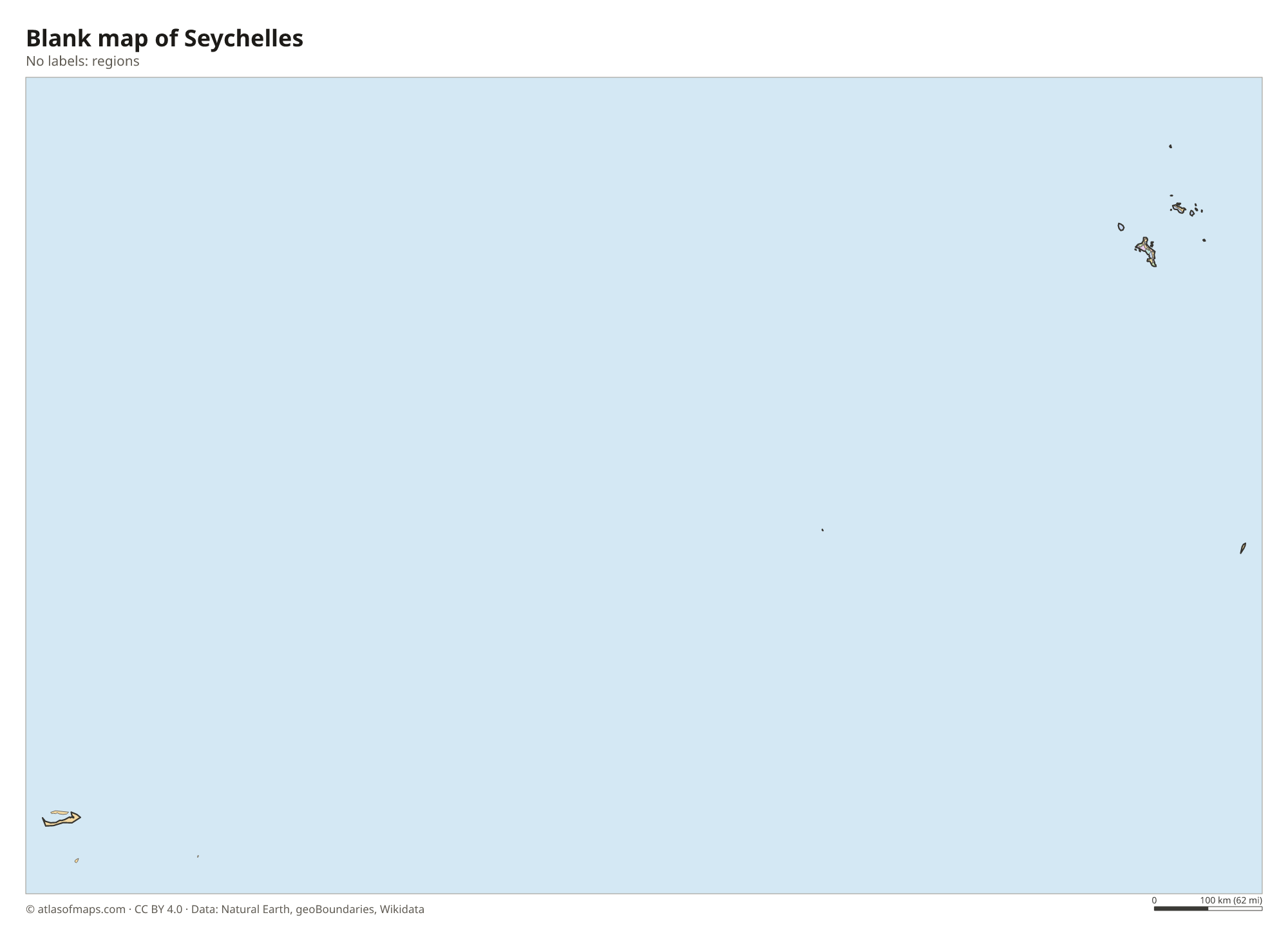
Blank map of Seychelles

Coloring map of Seychelles

Geography of Seychelles
Seychelles is made up of about 115 islands in two groups. The Inner Islands, including Mahé, Praslin and La Digue, are made of granite, an unusual rock for islands far out in an ocean, and form steep, green hills with huge smooth boulders along the beaches. Mahé, the largest island, holds the capital, Victoria, and the highest point, Morne Seychellois, at 905 m (2,969 ft). The Outer Islands are low coral islands, sandy cays and atolls spread across a wide area of ocean to the south and southwest.
Seychelles has no large rivers, only short streams on the granite islands. Its coasts are lined with coral reefs, lagoons and white sand beaches, and the islands shelter rare species such as the coco de mer palm in the Vallée de Mai on Praslin and giant tortoises on Aldabra. Aldabra, one of the largest coral atolls in the world, is a UNESCO World Heritage Site, as is the Vallée de Mai. The climate is tropical and humid, with warm temperatures all year, and most islands lie outside the cyclone belt.
Fun facts
- The coco de mer palm, which grows wild only on Praslin and Curieuse, produces the heaviest seed of any plant.
- Aldabra is home to about 100,000 giant tortoises.
- With about 120,000 people (2023), Seychelles has the smallest population of any African country.
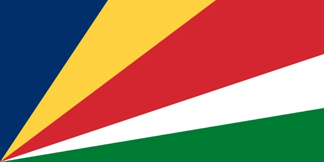
Flag of Seychelles
The flag of Seychelles has five oblique bands of blue, yellow, red, white and green that fan out from the lower hoist corner. Blue and yellow reach the top edge, red covers the upper fly corner, and white and green reach the fly edge, with green running along the bottom.
Frequently asked questions
Where is Seychelles?
Seychelles is in the western Indian Ocean, northeast of Madagascar and east of Kenya and Tanzania. Its islands are scattered across a wide area of ocean.
Is Seychelles part of Africa?
Yes. Although it lies far out in the Indian Ocean, Seychelles is counted as an African country and is a member of the African Union. It is Africa's smallest country by both area and population.
What is the capital of Seychelles?
The capital is Victoria, on the northeast coast of Mahé, the largest island. It is one of the smallest capital cities in the world, and most Seychellois live on Mahé.
What countries border Seychelles?
Seychelles has no land borders with other countries: all its borders are at sea.
What language is spoken in Seychelles?
The official languages are French, English, and Seychellois Creole.
Can I print the map of Seychelles?
Yes. Every map on this page can be downloaded for free as PNG or PDF (US Letter) and printed, including the blank map and the coloring map. Please credit the source (Atlas of Maps, CC BY 4.0).
Use this map
You can download, print and share this map for free, in class, in school projects, in presentations and on websites, as long as you credit the source: Map of Seychelles · Atlas of Maps (atlasofmaps.com), license CC BY 4.0.
See also: Map of Africa · World map