Map of Singapore with regions and capitals
Singapore is an island city-state in Southeast Asia, at the southern tip of the Malay Peninsula. The narrow Johor Strait separates it from Malaysia to the north, and the Singapore Strait separates it from Indonesia's Riau Islands to the south. The political map shows its 5 regions, the capital, Singapore, and major cities.

- Capital
- Singapore
- Population
- 5.9 million (2021)
- Area
- 719 km² (278 sq mi)
- Population density
- 8,159 per km² (21,131 per sq mi)
- Official languages
- English, Malay, Standard Chinese, and Tamil
- Currency
- Singapore dollar
- Demonym
- Singaporean
- Regions
- 5
- Highest point
- Bukit Timah (164 m (538 ft))
- Calling code
- +65
- Internet domain
- .sg
- Official name
- Republic of Singapore
Where is Singapore?
Singapore is an island city-state in Southeast Asia, at the southern tip of the Malay Peninsula. The narrow Johor Strait separates it from Malaysia to the north, and the Singapore Strait separates it from Indonesia's Riau Islands to the south.

Regions of Singapore
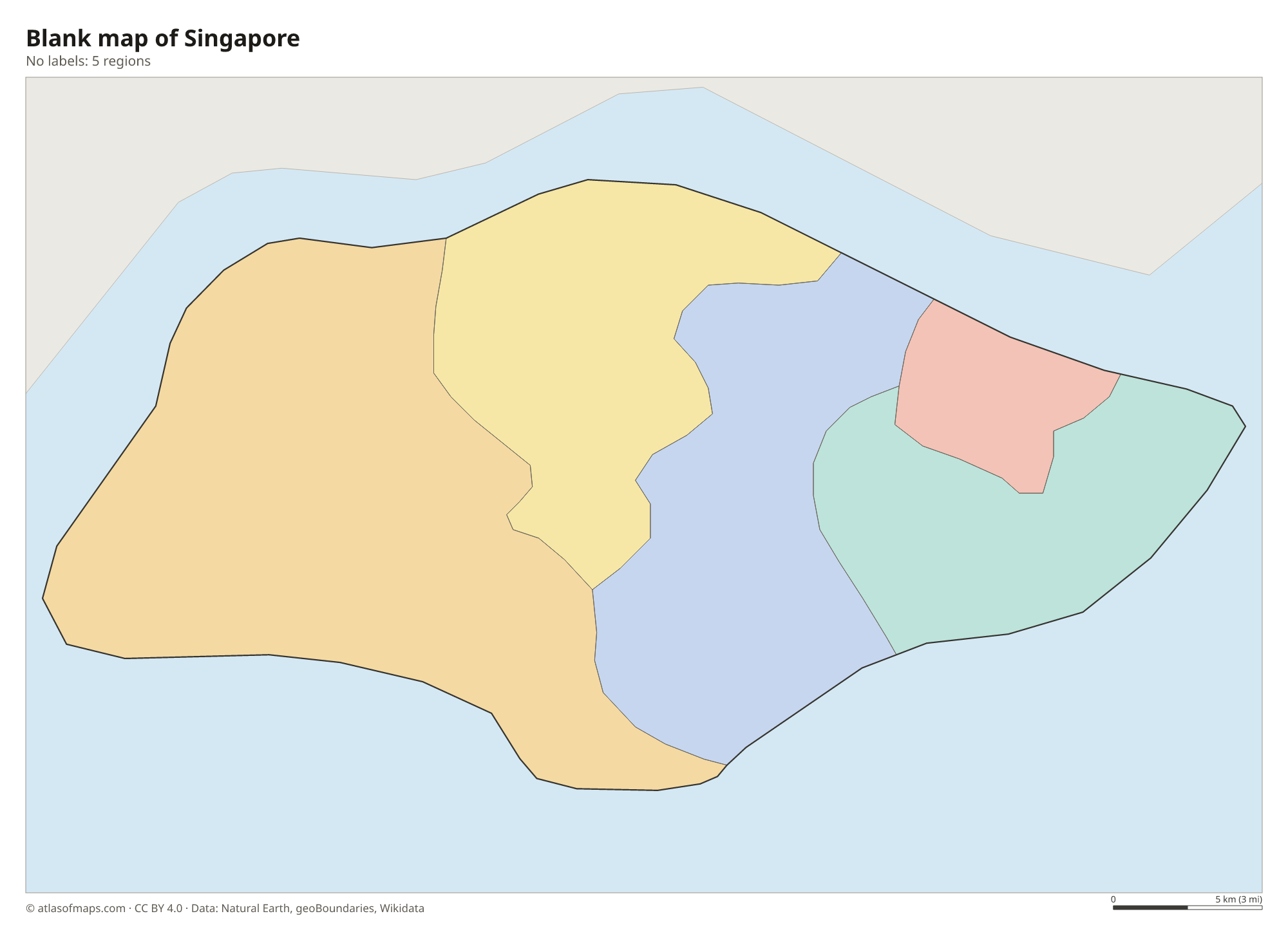
Singapore has no provinces. For local community administration it is grouped into 5 districts, each run by a Community Development Council: Central Singapore, North East, North West, South East and South West. These are the 5 regions shown on the map.
| Region |
|---|
| Central Singapore Community Development Council |
| North East Community Development Council |
| North West |
| South East Community Development Council |
| South West Community Development Council |
Blank and coloring maps of Singapore
Blank map of Singapore

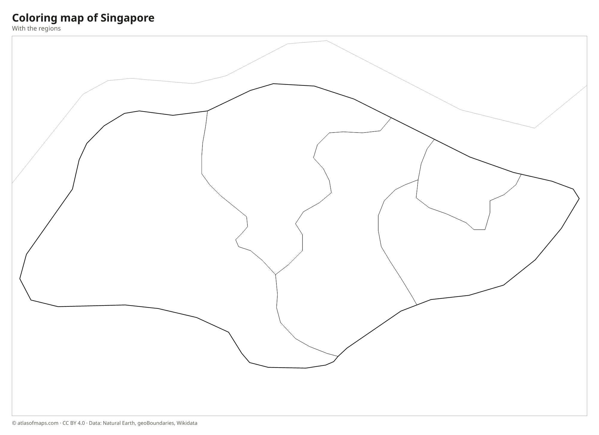
Coloring map of Singapore

Geography of Singapore
Singapore consists of one main island and more than 60 smaller islands, such as Sentosa, Pulau Ubin and Jurong Island. The land is low and gently rolling. The highest point, Bukit Timah Hill, rises only 164 m (538 ft) near the center of the main island and is surrounded by a nature reserve of primary rainforest. The west has low hills and valleys, while the east is flatter and sandier. Large stretches of coast have been extended by land reclamation, so Singapore's area keeps growing.
There are no large rivers. The Singapore River flows through the city center into Marina Bay, which, like several other estuaries, has been dammed to create a freshwater reservoir. Mangroves survive in places such as Sungei Buloh Wetland Reserve in the northwest. Singapore lies only about 1 degree north of the equator, so the climate is hot, humid and rainy all year, with two monsoon seasons and frequent afternoon thunderstorms. Two road links, the Causeway and the Second Link, connect the island with Malaysia.
Fun facts
- Land reclamation has enlarged Singapore by roughly a quarter since the 1960s.
- With about 5.87 million people (2021) on 719 km² (278 sq mi), Singapore is one of the most densely populated countries in the world.
- Jurong Island, the hub of Singapore's chemical industry, was created by joining several small islands with reclaimed land.
Flag of Singapore
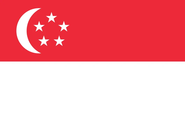
The flag of Singapore has two equal horizontal stripes, red on top and white below. In the upper hoist corner of the red stripe is a white crescent moon, opening toward the fly, next to a group of five small white five-pointed stars arranged in a circle.
Frequently asked questions
Is Singapore a country or a city?
Both. Singapore is a sovereign city-state: the city covers most of the country, and the capital and the country share the same name.
What countries are near Singapore?
Singapore has no land border, but it is linked by two road bridges to Malaysia, just across the Johor Strait. Indonesia's Riau Islands, including Batam and Bintan, lie a short ferry ride to the south.
How many regions does Singapore have?
Singapore is grouped into 5 Community Development Council districts: Central Singapore, North East, North West, South East and South West. These are the 5 regions shown on the map.
What is the capital of Singapore?
The capital of Singapore is Singapore.
What countries border Singapore?
Singapore has no land borders with other countries: all its borders are at sea.
What language is spoken in Singapore?
The official languages are English, Malay, Standard Chinese, and Tamil.
Can I print the map of Singapore?
Yes. Every map on this page can be downloaded for free as PNG or PDF (US Letter) and printed, including the blank map and the coloring map. Please credit the source (Atlas of Maps, CC BY 4.0).
Use this map
You can download, print and share this map for free, in class, in school projects, in presentations and on websites, as long as you credit the source: Map of Singapore · Atlas of Maps (atlasofmaps.com), license CC BY 4.0.
See also: Map of Asia · Map of Southeast Asia · World map