Map of Sri Lanka with regions and capitals
Sri Lanka is an island country in South Asia, in the Indian Ocean, just off the southeastern tip of India. The narrow Palk Strait and the Gulf of Mannar separate it from India, and it has no land borders. The political map shows its 25 regions, the capital, Sri Jayawardenepura Kotte and Colombo, and major cities.

- Capital
- Sri Jayawardenepura Kotte and Colombo
- Population
- 21.4 million (2017)
- Area
- 65,610 km² (25,332 sq mi)
- Population density
- 327 per km² (847 per sq mi)
- Official languages
- Sinhala and Tamil
- Currency
- Sri Lankan rupee
- Demonym
- Sri Lankan
- Regions
- 25
- Highest point
- Pidurutalagala (2,524 m (8,281 ft))
- Calling code
- +94
- Internet domain
- .lk
Where is Sri Lanka?
Sri Lanka is an island country in South Asia, in the Indian Ocean, just off the southeastern tip of India. The narrow Palk Strait and the Gulf of Mannar separate it from India, and it has no land borders.

Regions of Sri Lanka and their capitals
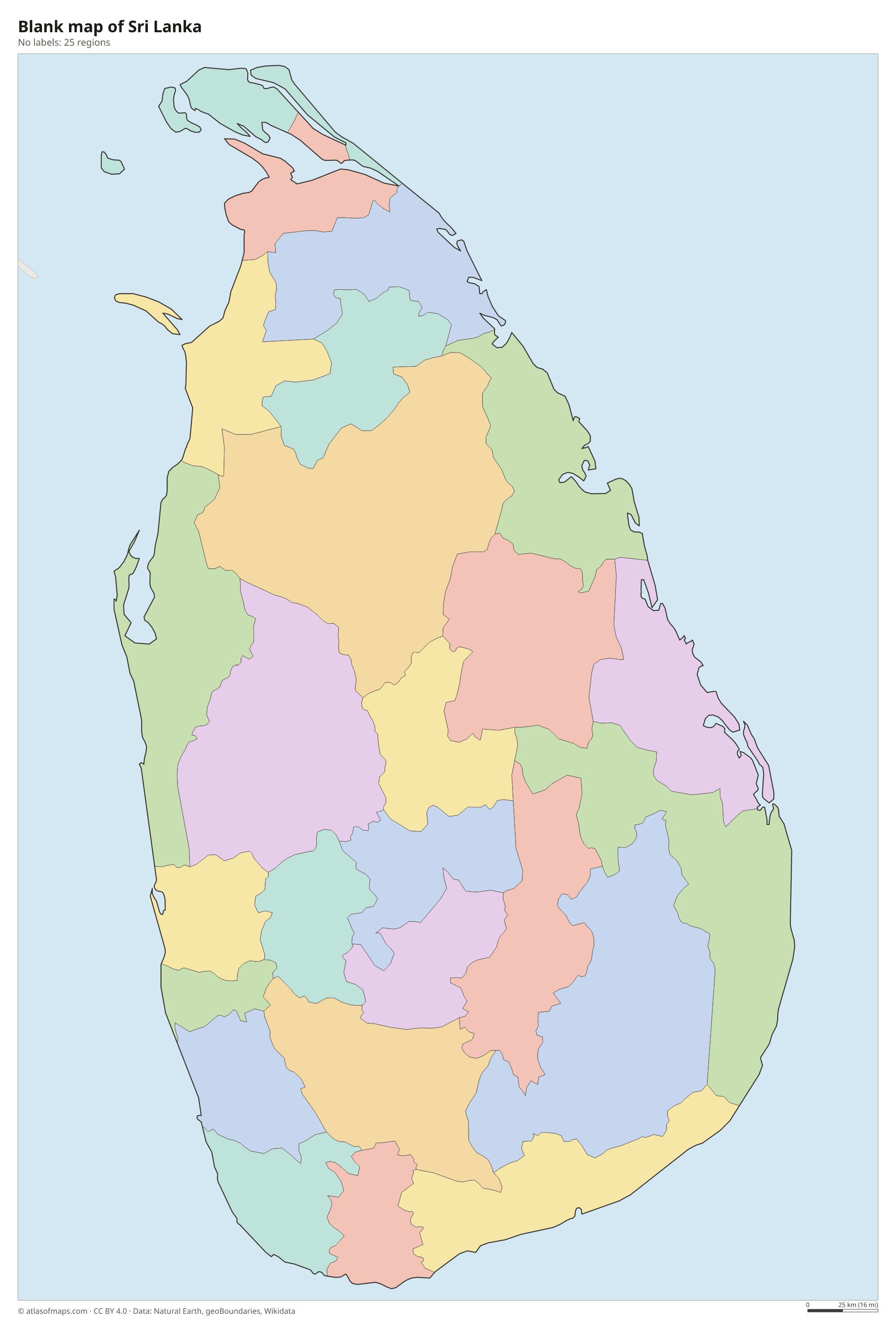
The map shows Sri Lanka's 25 districts, such as Colombo, Kandy and Jaffna. The districts are grouped into larger provinces, each with its own elected provincial council.
| Region | Capital | Population | Area |
|---|---|---|---|
| Ampara | — | — | 4,415 km² (1,705 sq mi) |
| Anuradhapura | Anuradhapura | 860,575 | 7,179 km² (2,772 sq mi) |
| Badulla | Badulla | — | 2,861 km² (1,105 sq mi) |
| Batticaloa | Batticaloa | — | 2,854 km² (1,102 sq mi) |
| Colombo | Colombo | — | 699 km² (270 sq mi) |
| Galle | Galle | 1,058,771 | 1,652 km² (638 sq mi) |
| Gampaha | — | — | 1,387 km² (536 sq mi) |
| Hambantota | Hambantota | — | 2,609 km² (1,007 sq mi) |
| Jaffna | Jaffna | — | 1,025 km² (396 sq mi) |
| Kalutara | — | — | 1,598 km² (617 sq mi) |
| Kandy | — | — | — |
| Kegalle | Kegalle | — | 1,693 km² (654 sq mi) |
| Kilinochchi | Kilinochchi | — | 1,279 km² (494 sq mi) |
| Kurunegala | Kurunegala | — | 4,816 km² (1,859 sq mi) |
| Mannar | — | — | 1,996 km² (771 sq mi) |
| Matale | Matale | — | 1,993 km² (770 sq mi) |
| Matara | Matara | — | 1,283 km² (495 sq mi) |
| Monaragala | — | — | 5,636 km² (2,176 sq mi) |
| Mullaitivu | Mullaitivu | — | 2,617 km² (1,010 sq mi) |
| Nuwara Eliya | Nuwara Eliya | — | 1,741 km² (672 sq mi) |
| Polonnaruwa | Polonnaruwa | — | 3,293 km² (1,271 sq mi) |
| Puttalam | Puttalam | 760,778 | 3,072 km² (1,186 sq mi) |
| Ratnapura | Ratnapura | — | 3,275 km² (1,264 sq mi) |
| Trincomalee | Trincomalee | — | 2,727 km² (1,053 sq mi) |
| Vavuniya | — | — | 1,967 km² (759 sq mi) |
Population from Wikidata (latest figure available for each region).
Blank and coloring maps of Sri Lanka
Blank map of Sri Lanka

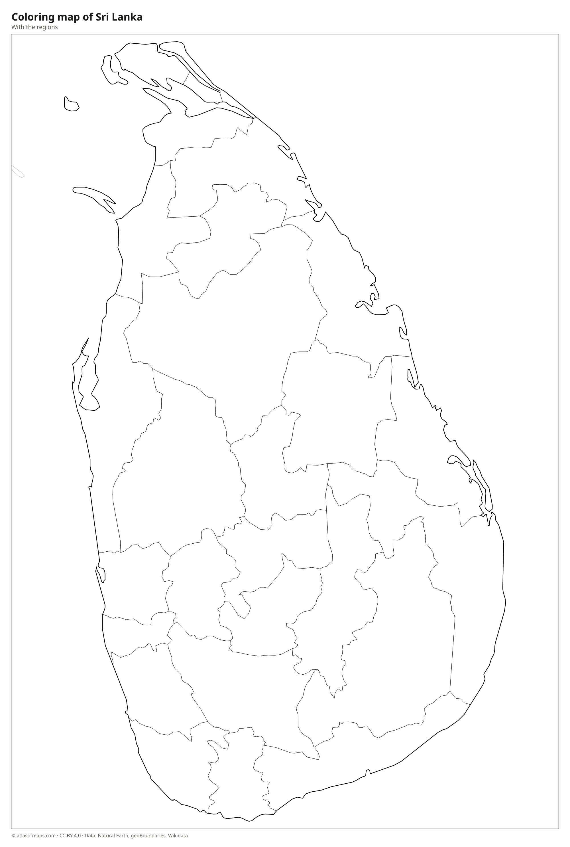
Coloring map of Sri Lanka

Geography of Sri Lanka
Sri Lanka is shaped like a teardrop. Its south-central part is a block of highlands, the Central Highlands, with tea-covered hills, waterfalls and high grasslands such as Horton Plains. Pidurutalagala, near Nuwara Eliya, is the highest point at 2,524 m (8,281 ft), and Adam's Peak, a mountain sacred to several religions, rises in the same highlands. Around them, a wide lowland plain covers most of the island and reaches the coast on all sides. In the northwest, a chain of shoals called Adam's Bridge stretches toward India.
Rivers flow outward from the highlands to the sea, and the Mahaweli, the longest, runs northeast to the coast near Trincomalee, which has a large natural harbor. Ancient kings built thousands of reservoirs, called tanks, in the dry north and east. The island has two main climate zones: the wet zone in the southwest, which gets rain from the southwest monsoon, and the dry zone in the north and east, watered mainly by the northeast monsoon. The coasts have lagoons, mangroves, coral reefs and long beaches.
Fun facts
- Sri Lanka has two capitals: Sri Jayawardenepura Kotte, where Parliament sits, and Colombo, the largest city and commercial center.
- Sigiriya, a rock fortress built on a huge granite column rising from the plain, is a UNESCO World Heritage Site.
- Sri Lanka is one of the world's leading tea producers, with plantations across the Central Highlands.
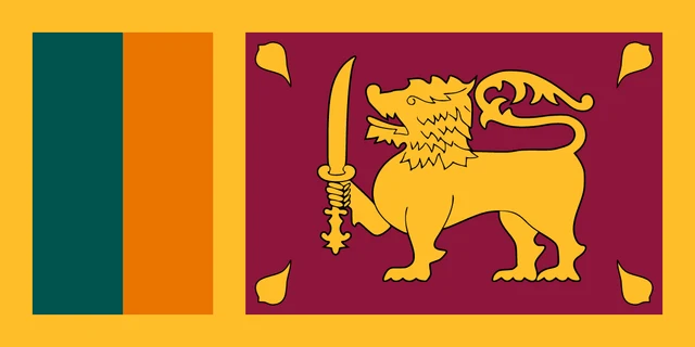
Flag of Sri Lanka
The flag of Sri Lanka, known as the Lion Flag, has a yellow border enclosing two panels. At the hoist are two vertical stripes, green and orange (saffron). The larger maroon panel shows a gold lion holding a sword in its raised right front paw, with a gold bo leaf in each corner.
Frequently asked questions
What is the capital of Sri Lanka?
Sri Lanka has two capitals. Sri Jayawardenepura Kotte, next to Colombo, is the official capital and seat of Parliament, while Colombo is the largest city and the commercial capital.
How many districts does Sri Lanka have?
Sri Lanka has 25 districts, which are shown on the map. They range from Jaffna in the far north to Hambantota and Matara on the southern coast.
Is Sri Lanka part of India?
No. Sri Lanka is an independent island country. It lies just southeast of India across the Palk Strait and the Gulf of Mannar, linked to it only by the shallow chain of shoals called Adam's Bridge.
What countries border Sri Lanka?
Sri Lanka has no land borders with other countries: all its borders are at sea.
How many regions does Sri Lanka have?
Sri Lanka is divided into 25 regions: Ampara, Anuradhapura, Badulla, Batticaloa, Colombo, Galle, Gampaha, Hambantota, Jaffna, Kalutara, Kandy, Kegalle, Kilinochchi, Kurunegala, Mannar, Matale, Matara, Monaragala, Mullaitivu, Nuwara Eliya, Polonnaruwa, Puttalam, Ratnapura, Trincomalee, and Vavuniya.
What language is spoken in Sri Lanka?
The official languages are Sinhala and Tamil.
Can I print the map of Sri Lanka?
Yes. Every map on this page can be downloaded for free as PNG or PDF (US Letter) and printed, including the blank map and the coloring map. Please credit the source (Atlas of Maps, CC BY 4.0).
Use this map
You can download, print and share this map for free, in class, in school projects, in presentations and on websites, as long as you credit the source: Map of Sri Lanka · Atlas of Maps (atlasofmaps.com), license CC BY 4.0.
See also: Map of Asia · World map