Map of Taiwan
Taiwan is an island in East Asia, separated from mainland China by the Taiwan Strait, with the Pacific Ocean to the east and the Philippines to the south. It is governed by the Republic of China, while the People's Republic of China claims sovereignty over it. The political map shows its regions, the capital, Taipei, and major cities.
Governed by the Republic of China; the People's Republic of China claims sovereignty.

- Capital
- Taipei
- Population
- 23.3 million (2026)
- Area
- 36,193 km² (13,974 sq mi)
- Population density
- 643 per km² (1,665 per sq mi)
- Official languages
- Standard Taiwanese Mandarin, Taiwanese Hakka, Taiwanese Hokkien, Amis, Paiwan, and Kinmen dialect
- Currency
- New Taiwan dollar
- Demonym
- Taiwanese
- Highest point
- Yushan Main Peak (3,952 m (12,966 ft))
- Calling code
- +886
- Internet domain
- .tw
- Official name
- Republic of China
- Also known as
- Republic of China
Where is Taiwan?
Taiwan is an island in East Asia, separated from mainland China by the Taiwan Strait, with the Pacific Ocean to the east and the Philippines to the south. It is governed by the Republic of China, while the People's Republic of China claims sovereignty over it.

Regions of Taiwan and their capitals
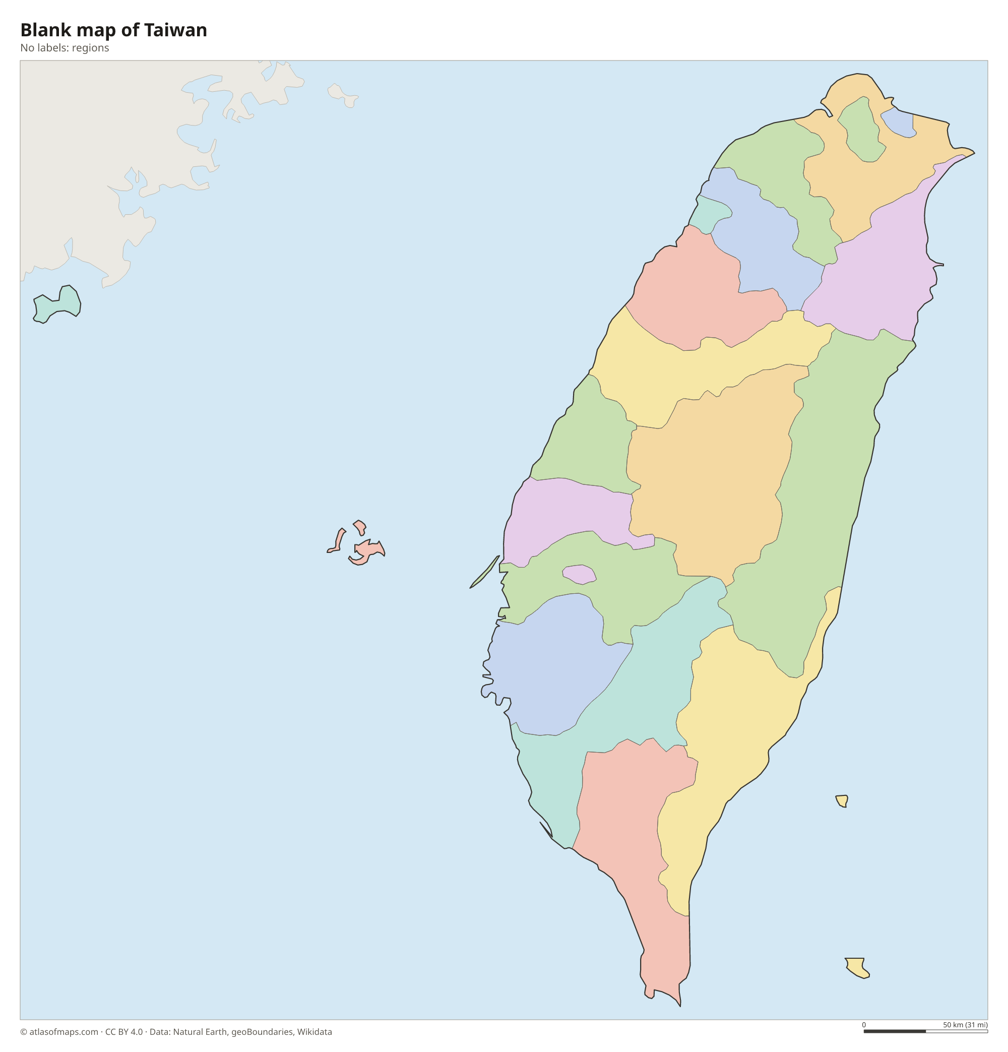
Taiwan is divided into special municipalities, such as Taipei and Kaohsiung, as well as counties and provincial cities. The map uses Natural Earth boundaries, which may not show the latest administrative reforms.
The divisions on the map come from Natural Earth and may not reflect the latest territorial reform in Taiwan.
| Region | Capital | Population | Area |
|---|---|---|---|
| Changhua | Changhua City | 1,204,630 | 1,074 km² (415 sq mi) |
| Chiayi | Taibao City | 471,253 | 1,902 km² (734 sq mi) |
| Chiayi City | — | 261,626 | 60 km² (23 sq mi) |
| Hsinchu | Zhubei City | 597,286 | 1,428 km² (551 sq mi) |
| Hsinchu City | — | 455,871 | 104 km² (40 sq mi) |
| Hualien | Hualien City | 311,615 | 4,629 km² (1,787 sq mi) |
| Kaohsiung | — | 2,713,032 | 2,952 km² (1,140 sq mi) |
| Keelung | Zhongzheng District | 359,102 | 133 km² (51 sq mi) |
| Kinmen | Jincheng Township | 138,253 | 153 km² (59 sq mi) |
| Miaoli | Miaoli City | 530,213 | 1,820 km² (703 sq mi) |
| Nantou | Nantou City | 467,424 | 4,106 km² (1,585 sq mi) |
| New Taipei | Banqiao District | 4,041,149 | 2,053 km² (793 sq mi) |
| Penghu | Magong City | 106,662 | 141 km² (54 sq mi) |
| Pingtung | Pingtung City | 780,101 | 2,776 km² (1,072 sq mi) |
| Taichung City | — | — | — |
| Tainan | Anping District | 1,849,762 | 2,192 km² (846 sq mi) |
| Taipei | Xinyi District | 2,429,429 | 272 km² (105 sq mi) |
| Taitung | Taitung City | 208,068 | 3,515 km² (1,357 sq mi) |
| Taoyuan | Taoyuan District | 2,356,795 | 1,221 km² (471 sq mi) |
| Yilan | Yilan City | 448,763 | 2,144 km² (828 sq mi) |
| Yunlin | Douliou City | 648,459 | 1,291 km² (498 sq mi) |
Population from Wikidata (latest figure available for each region).
Blank and coloring maps of Taiwan
Blank map of Taiwan

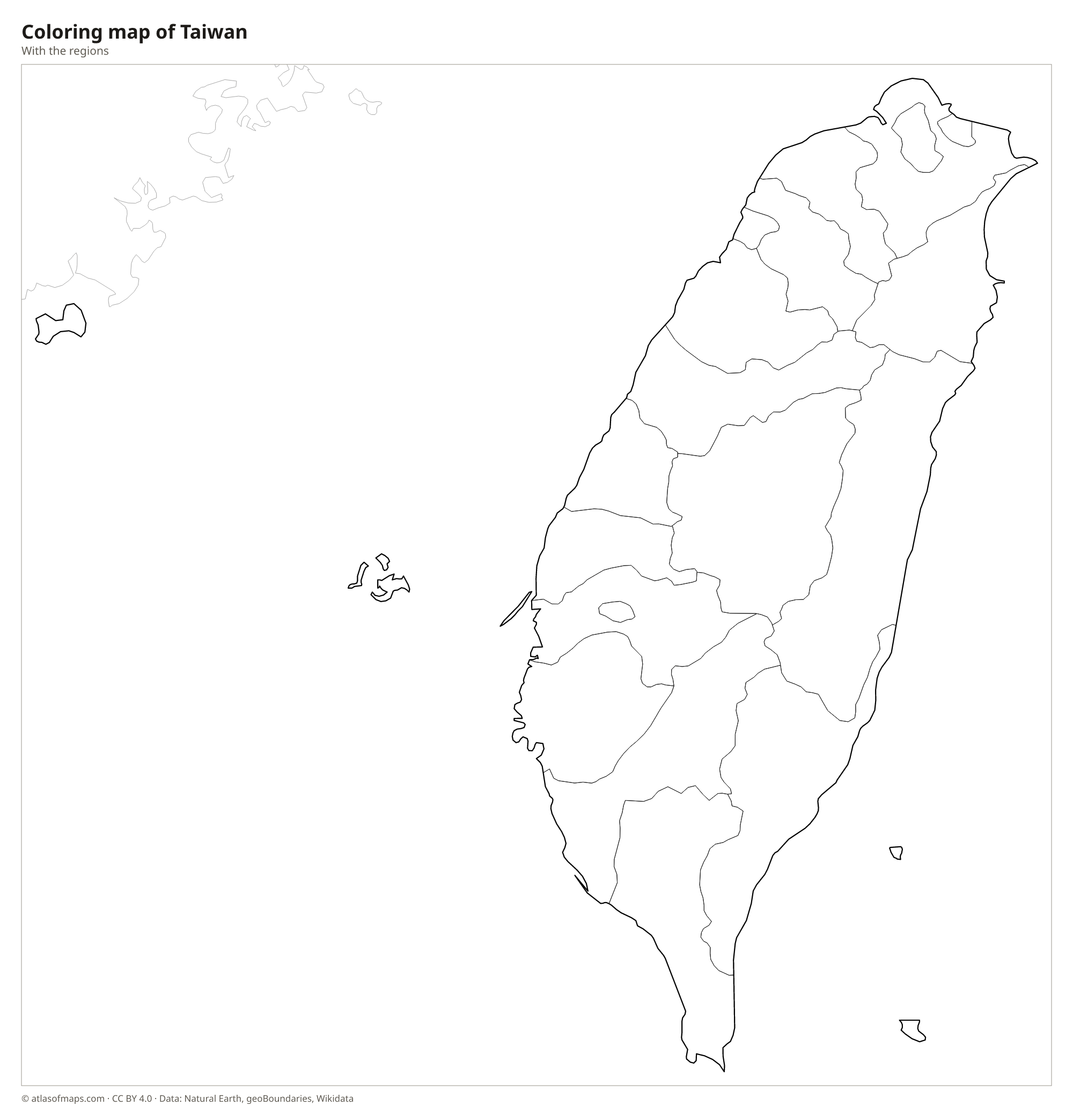
Coloring map of Taiwan

Geography of Taiwan
The main island of Taiwan, together with smaller islands such as Penghu, Kinmen and Matsu, covers about 36,193 km² (13,974 sq mi). Mountains fill most of the island: the Central Mountain Range runs from north to south like a spine, and the Yushan Range to its west includes Yushan Main Peak, the highest point at 3,952 m (12,966 ft). The east coast drops steeply into the Pacific, and the marble canyon of Taroko Gorge cuts into the mountains near Hualien. The west is very different, with a broad, low plain where most cities, farms and people are located.
Short, fast rivers run from the mountains to the sea, and the Zhuoshui is the longest. Sun Moon Lake, in the central mountains, is the largest lake on the island. The Tropic of Cancer crosses Taiwan, so the north has a humid subtropical climate while the south is tropical. Summers are hot and rainy, and typhoons often strike between summer and early fall. Taiwan lies where the Philippine Sea Plate meets the Eurasian Plate, which is why earthquakes are frequent and the mountains are still rising.
Fun facts
- Yushan Main Peak is higher than Japan's Mount Fuji.
- Taiwan has more than 200 mountain peaks above 3,000 m (9,843 ft).
- Portuguese sailors called the island Formosa, meaning beautiful island, a name still used in some older maps and books.
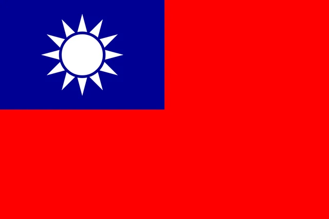
Flag of Taiwan
The flag of Taiwan has a red field with a blue rectangle in the upper hoist corner that takes up one quarter of the flag. Inside the blue canton is a white sun with twelve triangular rays. The design is known as Blue Sky, White Sun, and a Wholly Red Earth.
Frequently asked questions
What is the capital of Taiwan?
Taipei, in the far north of the island, is the capital and seat of government. The city lies in a basin surrounded by mountains, and New Taipei City wraps around it.
What separates Taiwan from China?
The Taiwan Strait separates Taiwan from the Chinese mainland province of Fujian. The strait links the East China Sea in the north with the South China Sea in the south.
Is Taiwan part of China?
This is disputed. Taiwan is governed by the Republic of China, which has its own government, military and currency, while the People's Republic of China claims the island as part of its territory.
What countries border Taiwan?
Taiwan has no land borders with other countries: all its borders are at sea.
What language is spoken in Taiwan?
The official languages are Standard Taiwanese Mandarin, Taiwanese Hakka, Taiwanese Hokkien, Amis, Paiwan, and Kinmen dialect.
Can I print the map of Taiwan?
Yes. Every map on this page can be downloaded for free as PNG or PDF (US Letter) and printed, including the blank map and the coloring map. Please credit the source (Atlas of Maps, CC BY 4.0).
Use this map
You can download, print and share this map for free, in class, in school projects, in presentations and on websites, as long as you credit the source: Map of Taiwan · Atlas of Maps (atlasofmaps.com), license CC BY 4.0.
See also: Map of Asia · World map