Map of the Bahamas
The Bahamas is an island country in the Atlantic Ocean, southeast of Florida and north of Cuba and Hispaniola. It has no land borders and is usually grouped with the Caribbean, although its waters belong to the Atlantic rather than the Caribbean Sea. The political map shows its regions, the capital, Nassau, and major cities.

- Capital
- Nassau
- Population
- 399,440 (2023)
- Area
- 13,878 km² (5,358 sq mi)
- Population density
- 29 per km² (75 per sq mi)
- Official language
- English
- Currency
- Bahamian dollar
- Demonym
- Bahamian
- Highest point
- Mount Alvernia (63 m (207 ft))
- Calling code
- +1242
- Internet domain
- .bs
- Official name
- Commonwealth of the Bahamas
Where is the Bahamas?
The Bahamas is an island country in the Atlantic Ocean, southeast of Florida and north of Cuba and Hispaniola. It has no land borders and is usually grouped with the Caribbean, although its waters belong to the Atlantic rather than the Caribbean Sea.

Regions of the Bahamas and their capitals
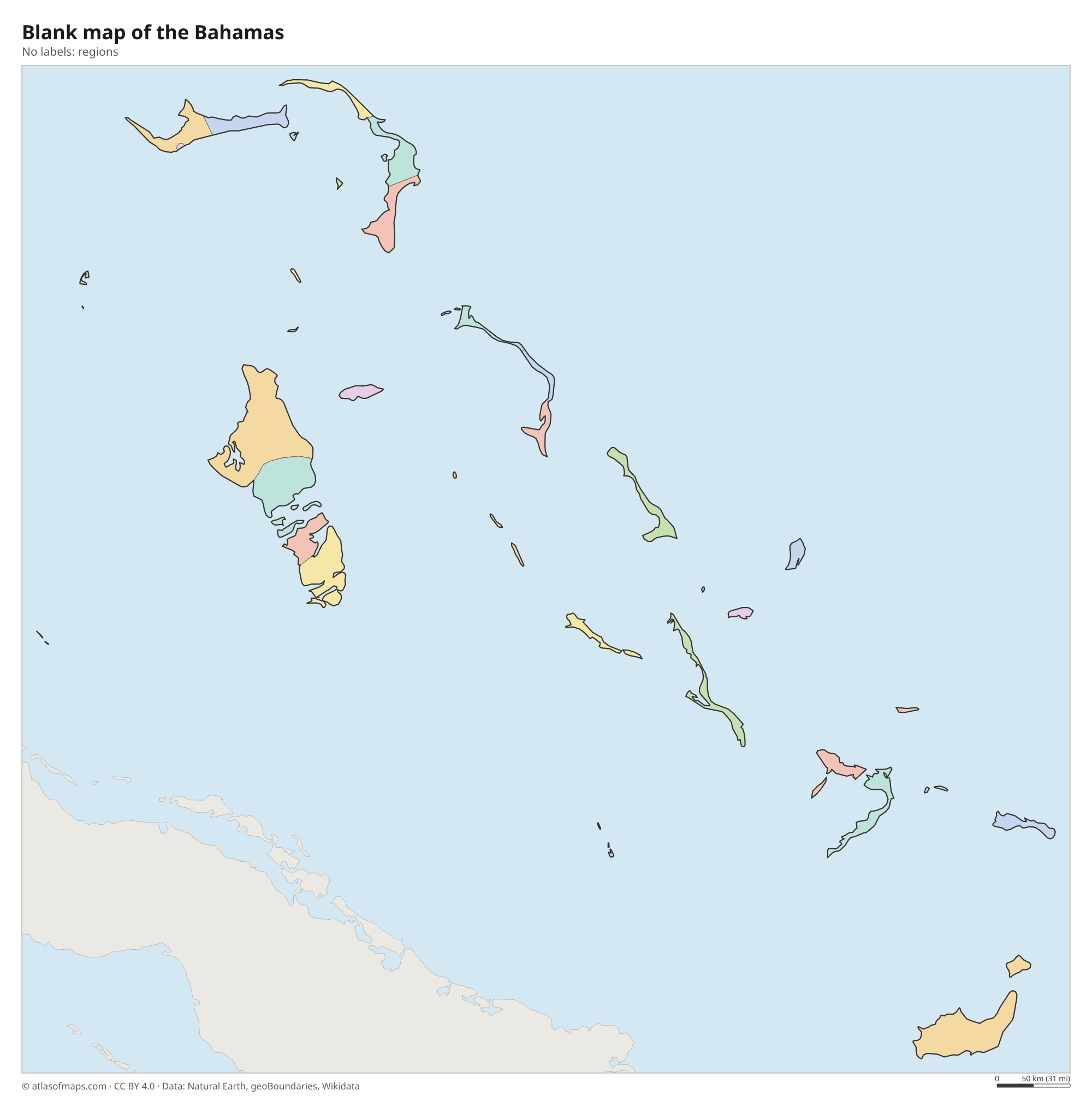
The Bahamas is divided into local government districts, most of which follow single islands or groups of islands, such as Inagua or the Abaco districts. New Providence, the island of Nassau, is administered directly by the central government. The districts on the map come from Natural Earth and may be out of date.
The divisions on the map come from Natural Earth and may not reflect the latest territorial reform in the Bahamas.
| Region | Capital | Population | Area |
|---|---|---|---|
| Acklins | — | 565 | 389 km² (150 sq mi) |
| Berry Islands | — | 1,002 | 31 km² (12 sq mi) |
| Bimini | Alice Town | 2,361 | 28 km² (11 sq mi) |
| Black Point | — | — | — |
| Cat Island | — | 1,570 | 388 km² (150 sq mi) |
| Central Abaco | — | — | — |
| Central Andros | — | 662 | — |
| Central Eleuthera | — | — | — |
| Crooked Island | — | 323 | 148 km² (57 sq mi) |
| East Grand Bahama | High Rock | — | — |
| Exuma | — | 6,928 | 250 km² (97 sq mi) |
| Freeport | — | 45,945 | 558 km² (215 sq mi) |
| Harbour Island | — | — | — |
| Inagua | Matthew Town | — | 1,679 km² (648 sq mi) |
| Long Island | Clarence Town | 3,024 | 596 km² (230 sq mi) |
| Mangrove Cay | — | — | — |
| Mayaguana | — | — | — |
| Moore's Island | — | — | — |
| New Providence | Nassau | 274,400 | 207 km² (80 sq mi) |
| North Abaco | — | — | — |
| North Andros | — | — | — |
| North Eleuthera | — | — | — |
| Ragged Island | — | 70 | 23 km² (8.9 sq mi) |
| Rum Cay | — | 53 | 78 km² (30 sq mi) |
| San Salvador Island | Cockburn Town | 930 | 163 km² (63 sq mi) |
| South Abaco | — | — | — |
| South Andros | — | — | — |
| South Eleuthera | — | — | — |
| Spanish Wells | — | 1,551 | — |
| West Grand Bahama | — | — | — |
Population from Wikidata (latest figure available for each region).
Blank and coloring maps of the Bahamas
Blank map of the Bahamas

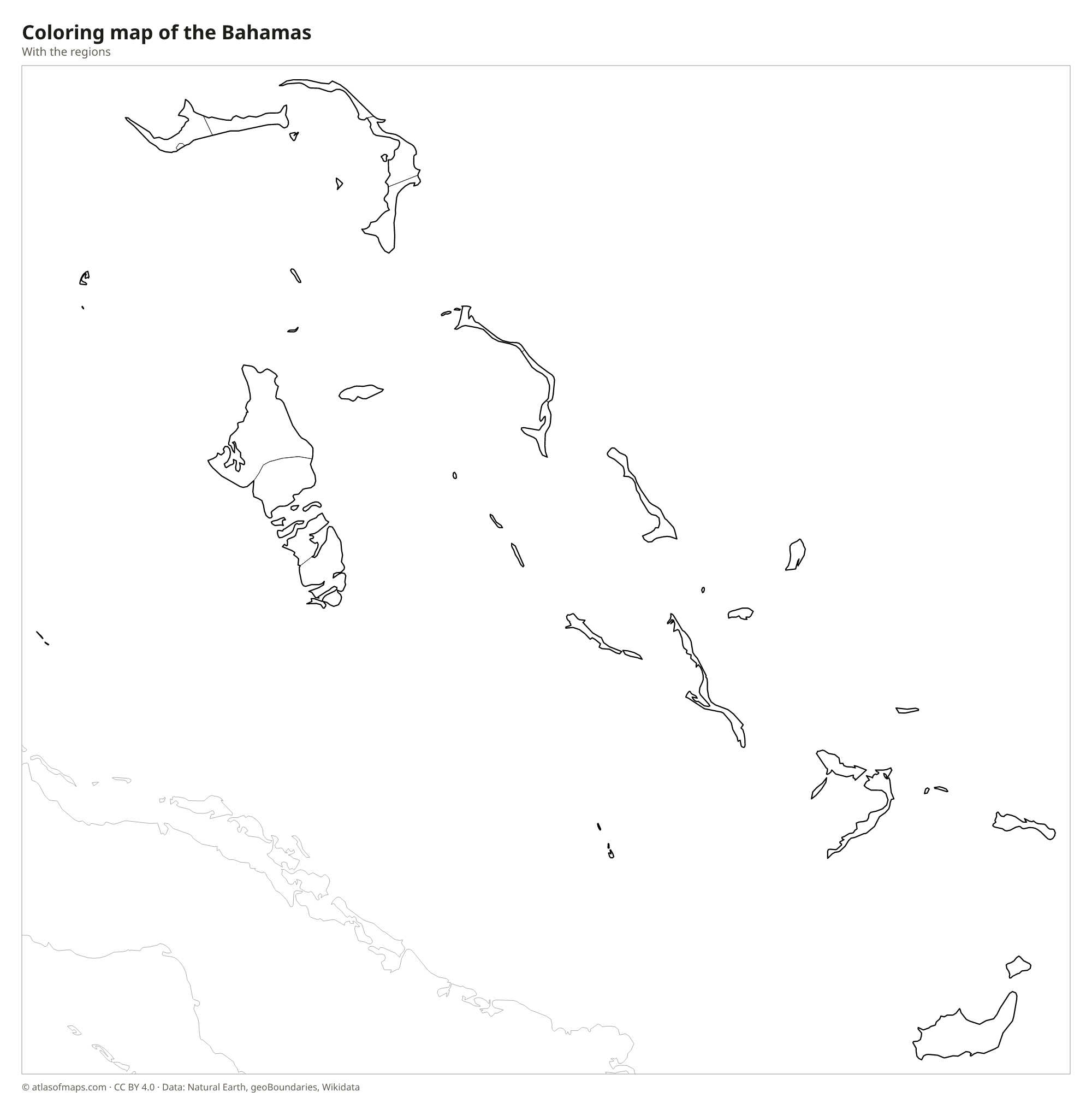
Coloring map of the Bahamas

Geography of the Bahamas
The Bahamas covers 13,878 km² (5,358 sq mi) of land spread across about 700 islands and thousands of smaller cays and rocks. The islands sit on shallow limestone platforms, the Little and Great Bahama Banks, and are low and flat. The highest point, Mount Alvernia on Cat Island, is only 63 m (207 ft) high. Andros is the largest island, while New Providence, home to the capital, Nassau, is small but holds most of the people. Grand Bahama, Abaco, Eleuthera, the Exumas and Inagua are other major islands.
The country has no rivers; fresh water comes from thin layers of groundwater and from desalination. Its seas are known for clear, shallow water over sand banks, cut by deep trenches such as the Tongue of the Ocean off Andros. Blue holes, deep water-filled sinkholes, are common, and Dean's Blue Hole on Long Island is among the deepest known. The Andros Barrier Reef runs along that island's east coast. The climate is warm all year, influenced by the Gulf Stream, and hurricanes are a risk from June to November. About 399,000 people (2023) live in the Bahamas.
Fun facts
- Christopher Columbus made his first landfall in the Americas in 1492 on an island in the Bahamas, usually identified as San Salvador.
- Great Inagua, in the far south, is home to a large breeding colony of Caribbean flamingos, the national bird.
- Bimini, the closest part of the Bahamas to the United States, lies only about 80 km (50 mi) east of Miami.
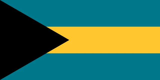
Flag of the Bahamas
The flag of the Bahamas has three equal horizontal bands of aquamarine, gold and aquamarine. A black equilateral triangle points from the hoist into the center of the flag. The flag is twice as wide as it is tall, and it carries no emblem or text.
Frequently asked questions
Is the Bahamas in the Caribbean?
Geographically the Bahamas lies in the Atlantic Ocean, north of the Caribbean Sea. Culturally and politically it is counted as part of the Caribbean and is a member of the Caribbean Community (CARICOM).
How many islands are in the Bahamas?
The Bahamas has about 700 islands and thousands of smaller cays and rocks, but only around 30 of them are inhabited. The best known are New Providence, Grand Bahama, Andros, Abaco and Eleuthera.
What is the capital of the Bahamas?
The capital is Nassau, on the island of New Providence. It is by far the largest city, home to most of the country's people and a major port for cruise ships.
What countries border the Bahamas?
The Bahamas has no land borders with other countries: all its borders are at sea.
What language is spoken in the Bahamas?
The official language is English.
Can I print the map of the Bahamas?
Yes. Every map on this page can be downloaded for free as PNG or PDF (US Letter) and printed, including the blank map and the coloring map. Please credit the source (Atlas of Maps, CC BY 4.0).
Use this map
You can download, print and share this map for free, in class, in school projects, in presentations and on websites, as long as you credit the source: Map of the Bahamas · Atlas of Maps (atlasofmaps.com), license CC BY 4.0.
See also: Map of North America · Map of the Caribbean · World map