Map of the Cayman Islands
The Cayman Islands are a British Overseas Territory in the western Caribbean Sea, south of Cuba and northwest of Jamaica. The territory has no land borders and consists of three islands: Grand Cayman, Cayman Brac and Little Cayman.
British Overseas Territory.

- Capital
- George Town
- Population
- 88,833 (2024)
- Area
- 264 km² (102 sq mi)
- Population density
- 336 per km² (872 per sq mi)
- Official language
- English
- Currency
- Cayman Islands dollar
- Demonym
- Caymanian
- Calling code
- +1345
- Internet domain
- .ky
Where is the Cayman Islands?
The Cayman Islands are a British Overseas Territory in the western Caribbean Sea, south of Cuba and northwest of Jamaica. The territory has no land borders and consists of three islands: Grand Cayman, Cayman Brac and Little Cayman.

Blank and coloring maps of the Cayman Islands
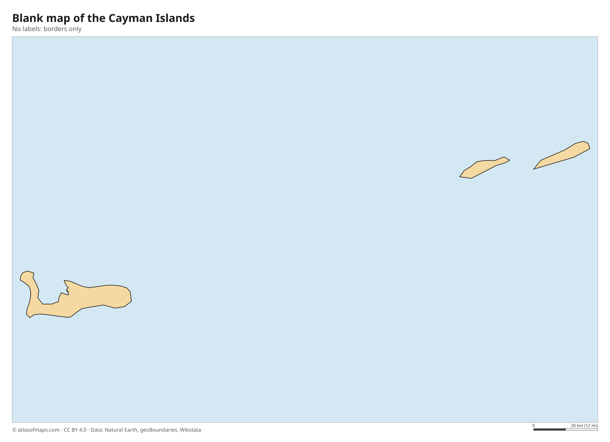
Blank map of the Cayman Islands

Coloring map of the Cayman Islands

Geography of the Cayman Islands
The Cayman Islands cover 264 km² (102 sq mi). The islands are the tops of an undersea ridge, the Cayman Ridge, capped by limestone and coral, and they are low and flat. Grand Cayman, by far the largest, lies well to the southwest of the two smaller islands, Cayman Brac and Little Cayman, which are separated from each other by a narrow channel. The highest ground is the Bluff, a limestone ridge running along Cayman Brac and ending in sea cliffs at its eastern end.
There are no rivers, and fresh water comes mainly from desalination. Grand Cayman's North Sound, a large shallow lagoon, is home to Stingray City, a sandbar where visitors swim with southern stingrays, while Seven Mile Beach lines the west coast. South of the islands, the Cayman Trench holds the deepest point in the Caribbean Sea. The climate is tropical, with a dry winter season and a wet season with a hurricane risk from June to November. The blue iguana lives only on Grand Cayman. About 89,000 people (2024) live in the islands, most on Grand Cayman.
Fun facts
- Christopher Columbus sighted Cayman Brac and Little Cayman in 1503 and named them Las Tortugas because of the many sea turtles.
- The Bloody Bay Wall off Little Cayman drops steeply from a shallow reef into deep water and is a famous diving site.
- Little Cayman is home to a large colony of red-footed boobies, protected at the Booby Pond Nature Reserve.
Flag of the Cayman Islands
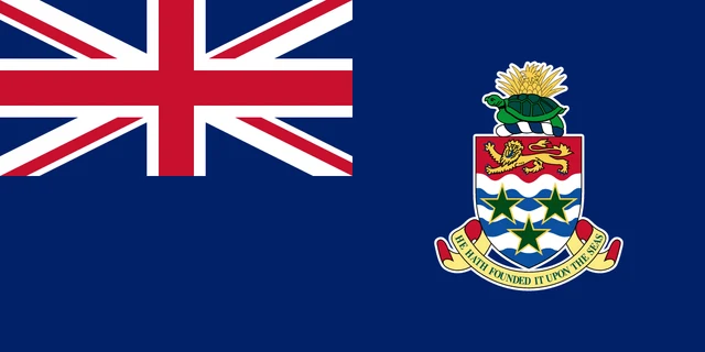
The flag of the Cayman Islands is a blue ensign: dark blue with the Union Jack in the upper left corner and the territory's coat of arms in the fly. The arms show a shield with a golden lion on red above blue and white wavy lines and three green stars, topped by a green turtle and a pineapple.
Frequently asked questions
Where are the Cayman Islands?
The Cayman Islands lie in the western Caribbean Sea, south of Cuba and northwest of Jamaica. The capital, George Town, is on Grand Cayman, the largest of the three islands.
How many islands make up the Cayman Islands?
There are three islands: Grand Cayman, which holds most of the people and the capital, George Town, and the smaller Cayman Brac and Little Cayman to the northeast.
Are the Cayman Islands a country?
No. The Cayman Islands are a British Overseas Territory with their own elected government, currency (the Cayman Islands dollar) and laws, while the United Kingdom is responsible for defense and foreign affairs.
What is the capital of the Cayman Islands?
The capital of the Cayman Islands is George Town.
What countries border the Cayman Islands?
The Cayman Islands has no land borders with other countries.
What language is spoken in the Cayman Islands?
The official language is English.
Can I print the map of the Cayman Islands?
Yes. Every map on this page can be downloaded for free as PNG or PDF (US Letter) and printed, including the blank map and the coloring map. Please credit the source (Atlas of Maps, CC BY 4.0).
Use this map
You can download, print and share this map for free, in class, in school projects, in presentations and on websites, as long as you credit the source: Map of the Cayman Islands · Atlas of Maps (atlasofmaps.com), license CC BY 4.0.
See also: Map of North America · Map of the Caribbean · World map