Map of the Comoros with regions and capitals
The Comoros is an island country in the Indian Ocean off the southeast coast of Africa. It lies at the northern end of the Mozambique Channel, between Mozambique and Madagascar, and has no land borders. The political map shows its 3 regions, the capital, Moroni, and major cities.

- Capital
- Moroni
- Population
- 902,348 (2022)
- Area
- 2,034 km² (785 sq mi)
- Population density
- 444 per km² (1,149 per sq mi)
- Official languages
- Comorian, Arabic, and French
- Currency
- Comorian franc
- Demonym
- Comorian
- Regions
- 3
- Highest point
- Mount Karthala (2,361 m (7,746 ft))
- Calling code
- +269
- Internet domain
- .km
- Official name
- Union of the Comoros
Where is the Comoros?
The Comoros is an island country in the Indian Ocean off the southeast coast of Africa. It lies at the northern end of the Mozambique Channel, between Mozambique and Madagascar, and has no land borders.

Regions of the Comoros and their capitals
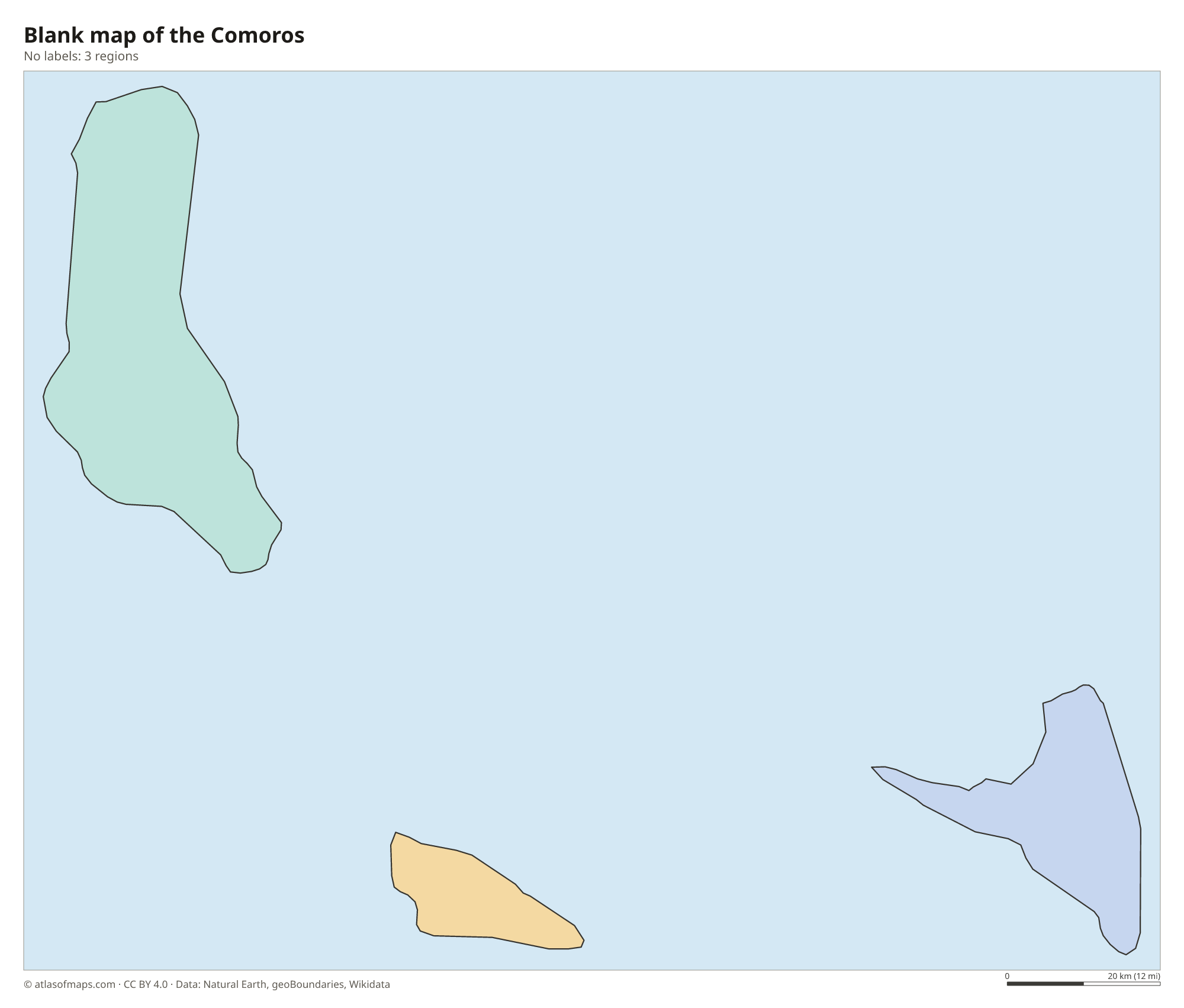
The Comoros is divided into 3 regions, one for each main island: Grande Comore (shown as Andjazîdja), Anjouan and Mohéli. Each island has its own governor, and the capital, Moroni, lies on the west coast of Grande Comore.
| Region | Capital | Population | Area |
|---|---|---|---|
| Andjazîdja | — | — | — |
| Anjouan | Mutsamudu | 240,000 | 424 km² (164 sq mi) |
| Mohéli | Fomboni | 40,000 | 290 km² (112 sq mi) |
Population from Wikidata (latest figure available for each region).
Blank and coloring maps of the Comoros
Blank map of the Comoros

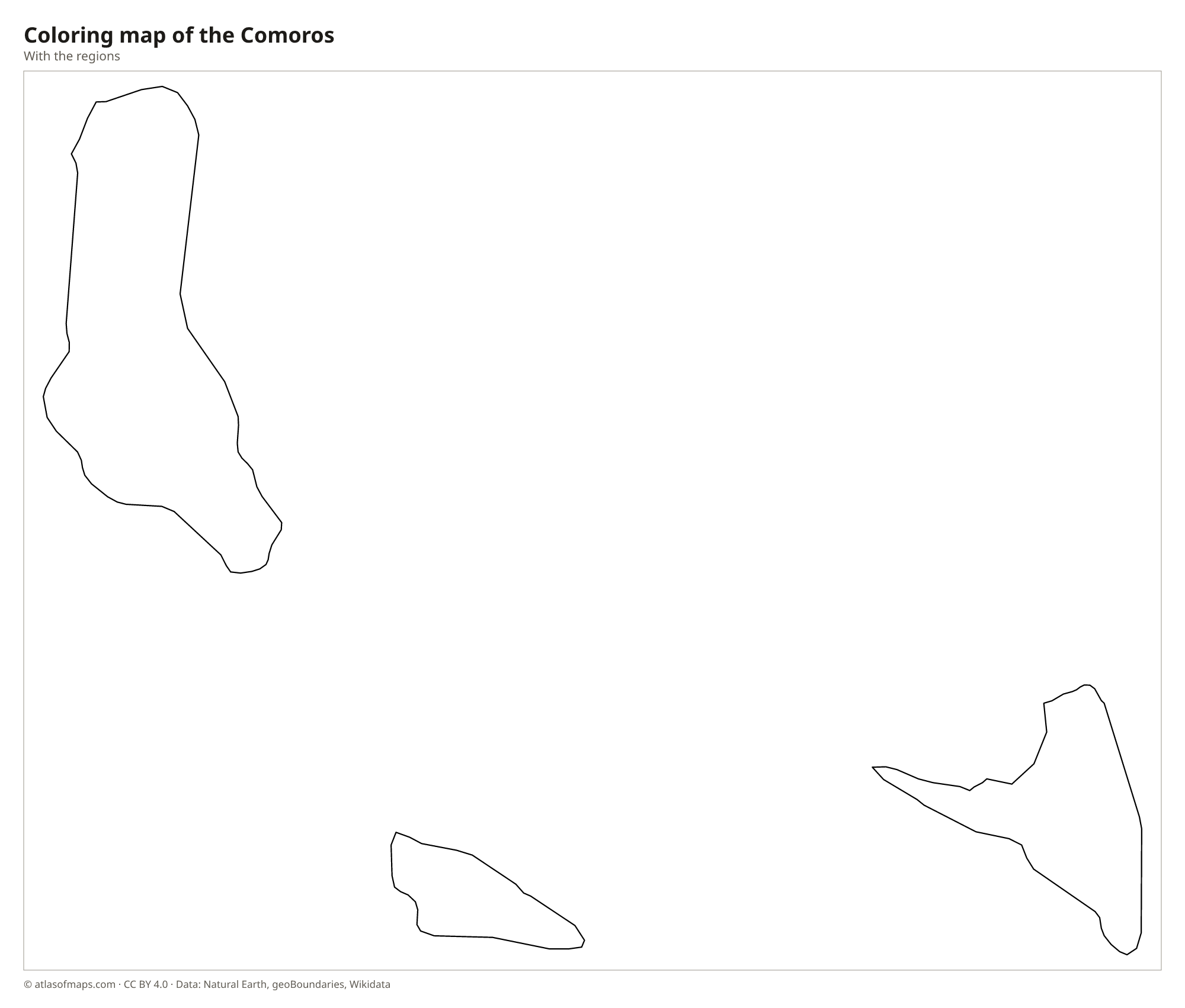
Coloring map of the Comoros

Geography of the Comoros
The Comoros is made up of three main volcanic islands, Grande Comore (Ngazidja), Mohéli (Mwali) and Anjouan (Nzwani), along with several small islets. Together they cover 2,034 km² (785 sq mi). Grande Comore, the largest and geologically youngest island, is dominated by Mount Karthala, an active shield volcano that reaches 2,361 m (7,746 ft) and has a wide summit caldera. Anjouan is steep and roughly triangular, with sharp ridges and deep valleys, while Mohéli, the smallest of the three, has gentler hills, forests and protected marine areas.
The islands have a tropical maritime climate, with a hot, rainy season from about November to April and a cooler, drier season for the rest of the year. Rivers are few and short, especially on Grande Comore, where porous volcanic rock lets rainwater soak away quickly. Coral reefs fringe parts of the coasts, and the deep waters around the islands are home to the coelacanth, a fish once thought to be extinct. A fourth island of the archipelago, Mayotte, is administered by France and claimed by the Comoros.
Fun facts
- Mount Karthala on Grande Comore is an active volcano that has erupted several times in recent decades, covering parts of the island with ash.
- The coelacanth, an ancient fish known from fossils long before living ones were found, lives in the deep waters off the Comoros.
- The Comoros is one of the world's main producers of ylang-ylang, a flower oil used in perfumes.
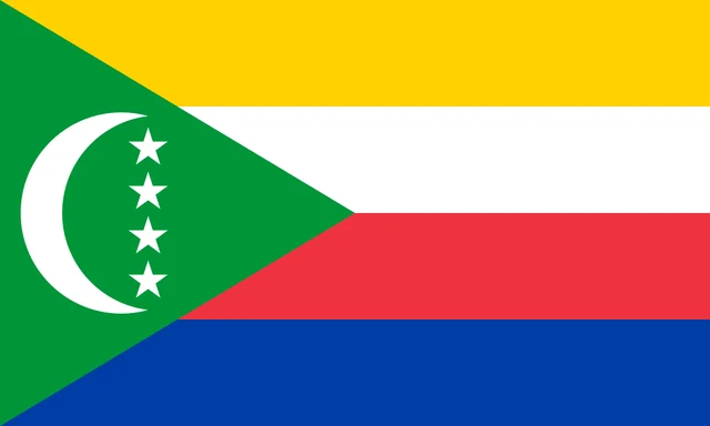
Flag of the Comoros
The flag of the Comoros has four horizontal stripes of equal height: yellow, white, red and blue, from top to bottom. A green triangle runs from the hoist side across all four stripes. Inside it is a white crescent moon with four white five-pointed stars arranged in a vertical line within its curve.
Frequently asked questions
Where are the Comoros islands?
The Comoros lie in the Indian Ocean at the northern entrance to the Mozambique Channel, roughly midway between northern Mozambique and the northwest coast of Madagascar.
How many islands does the Comoros have?
The Comoros consists of three main islands, Grande Comore, Anjouan and Mohéli, plus a few small islets. Each main island forms one of the country's 3 regions.
What is the capital of the Comoros?
The capital is Moroni, a port city on the west coast of Grande Comore, the largest island. It is also the country's largest city.
What countries border the Comoros?
The Comoros has no land borders with other countries: all its borders are at sea.
How many regions does the Comoros have?
The Comoros is divided into 3 regions: Andjazîdja, Anjouan, and Mohéli.
What language is spoken in the Comoros?
The official languages are Comorian, Arabic, and French.
Can I print the map of the Comoros?
Yes. Every map on this page can be downloaded for free as PNG or PDF (US Letter) and printed, including the blank map and the coloring map. Please credit the source (Atlas of Maps, CC BY 4.0).
Use this map
You can download, print and share this map for free, in class, in school projects, in presentations and on websites, as long as you credit the source: Map of the Comoros · Atlas of Maps (atlasofmaps.com), license CC BY 4.0.
See also: Map of Africa · World map