Map of the Falkland Islands
The Falkland Islands are an archipelago in the South Atlantic Ocean, about 480 km (300 mi) east of the coast of Patagonia in South America. They are a British Overseas Territory, and Argentina claims sovereignty over them as the Islas Malvinas.
British Overseas Territory; Argentina claims sovereignty over the islands (Islas Malvinas).

- Capital
- Stanley
- Population
- 4,550 (2018)
- Area
- 12,200 km² (4,710 sq mi)
- Population density
- 0 per km² (1 per sq mi)
- Official language
- British English
- Currency
- Falkland Islands pound
- Highest point
- Mount Usborne (705 m (2,313 ft))
- Calling code
- +500
- Internet domain
- .fk
- Also known as
- Malvinas
Where is the Falkland Islands?
The Falkland Islands are an archipelago in the South Atlantic Ocean, about 480 km (300 mi) east of the coast of Patagonia in South America. They are a British Overseas Territory, and Argentina claims sovereignty over them as the Islas Malvinas.

Blank and coloring maps of the Falkland Islands
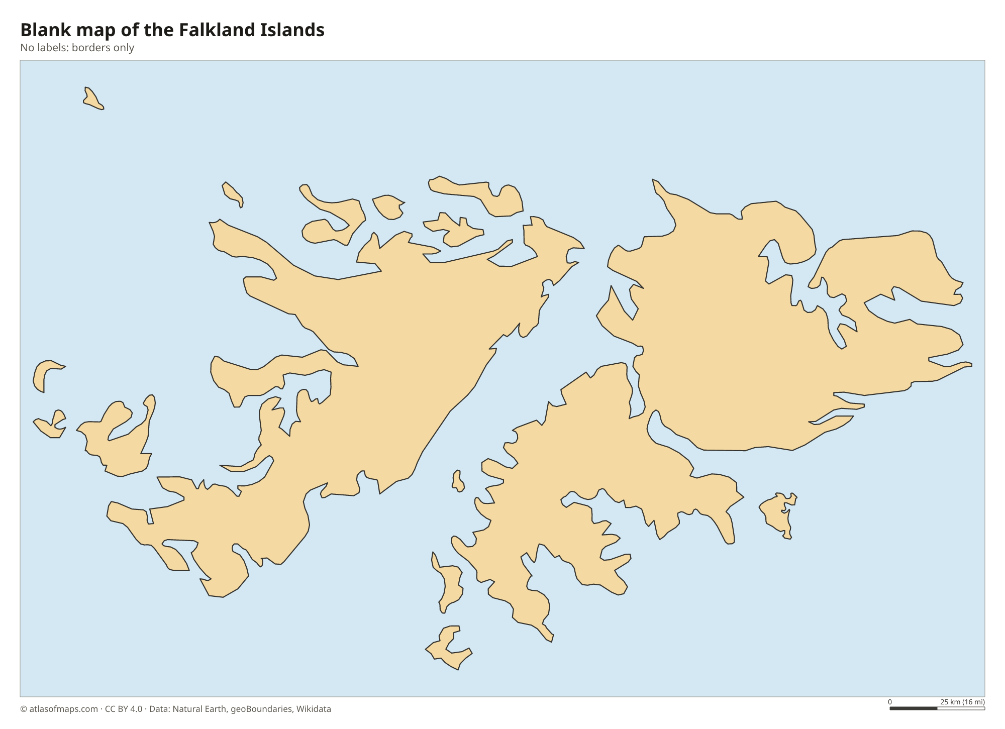
Blank map of the Falkland Islands

Coloring map of the Falkland Islands

Geography of the Falkland Islands
The archipelago covers 12,200 km² (4,710 sq mi) and consists of two main islands, East Falkland and West Falkland, separated by the Falkland Sound, plus hundreds of smaller islands. The landscape is mostly rolling moorland and peat with rocky ridges, and there are almost no native trees. The highest point is Mount Usborne on East Falkland, at 705 m (2,313 ft). Stone runs, streams of boulders left by ice-age frost, cover some valley floors, and the coasts are deeply cut by inlets and sounds.
The climate is cool, windy and often cloudy, with small temperature differences between summer and winter and modest rainfall. The islands are an important breeding ground for seabirds and marine mammals, including several species of penguins, black-browed albatrosses, seals and sea lions. Sheep farming has long been the main land use outside Stanley, the capital and only town, where most of the roughly 4,550 residents (2018) live. The surrounding waters support a large squid fishery.
Fun facts
- Five species of penguins breed on the Falklands, including king, gentoo, rockhopper and Magellanic penguins.
- Charles Darwin visited the islands in 1833 and 1834 and described their unusual stone runs.
- Stanley is the only town on the islands; the rest of the population lives in small settlements known as Camp.
Flag of the Falkland Islands
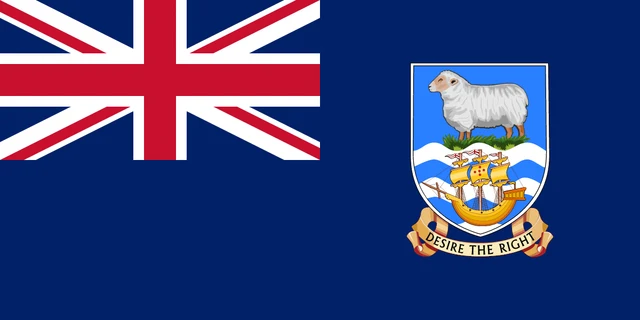
The flag of the Falkland Islands is a British Blue Ensign: dark blue with the Union Jack in the upper hoist corner. On the fly side is the territory's coat of arms, a shield showing a white ram on green grass above a sailing ship on blue and white waves, with the motto Desire the Right on a scroll below.
Flag of the Falkland Islands: meaning, colors and download →
Frequently asked questions
Who owns the Falkland Islands?
The Falkland Islands are a British Overseas Territory with their own elected government. Argentina claims sovereignty over the islands, which it calls the Islas Malvinas, and the two countries fought a war over them in 1982.
Where are the Falkland Islands?
The Falkland Islands lie in the South Atlantic Ocean, about 480 km (300 mi) east of the coast of southern Argentina and northeast of Tierra del Fuego. The capital, Stanley, is on East Falkland.
How many islands are in the Falklands?
The Falklands consist of two main islands, East Falkland and West Falkland, and several hundred smaller islands and islets. Only a few of the smaller islands are inhabited.
What is the capital of the Falkland Islands?
The capital of the Falkland Islands is Stanley.
What countries border the Falkland Islands?
The Falkland Islands has no land borders with other countries: all its borders are at sea.
What language is spoken in the Falkland Islands?
The official language is British English.
Can I print the map of the Falkland Islands?
Yes. Every map on this page can be downloaded for free as PNG or PDF (US Letter) and printed, including the blank map and the coloring map. Please credit the source (Atlas of Maps, CC BY 4.0).
Use this map
You can download, print and share this map for free, in class, in school projects, in presentations and on websites, as long as you credit the source: Map of the Falkland Islands · Atlas of Maps (atlasofmaps.com), license CC BY 4.0.
See also: Map of South America · World map