Map of the Faroe Islands
The Faroe Islands are an archipelago in the North Atlantic Ocean, roughly halfway between Iceland and Norway and northwest of Scotland. They are a self-governing territory within the Kingdom of Denmark.
Autonomous territory of the Kingdom of Denmark.

- Capital
- Tórshavn
- Population
- 54,149 (2023)
- Area
- 1,399 km² (540 sq mi)
- Population density
- 39 per km² (100 per sq mi)
- Official languages
- Faroese and Danish
- Currency
- Faroese króna
- Demonym
- Faroese
- Highest point
- Slættaratindur (880 m (2,887 ft))
- Calling code
- +298
- Internet domain
- .fo
Where is the Faroe Islands?
The Faroe Islands are an archipelago in the North Atlantic Ocean, roughly halfway between Iceland and Norway and northwest of Scotland. They are a self-governing territory within the Kingdom of Denmark.

Blank and coloring maps of the Faroe Islands
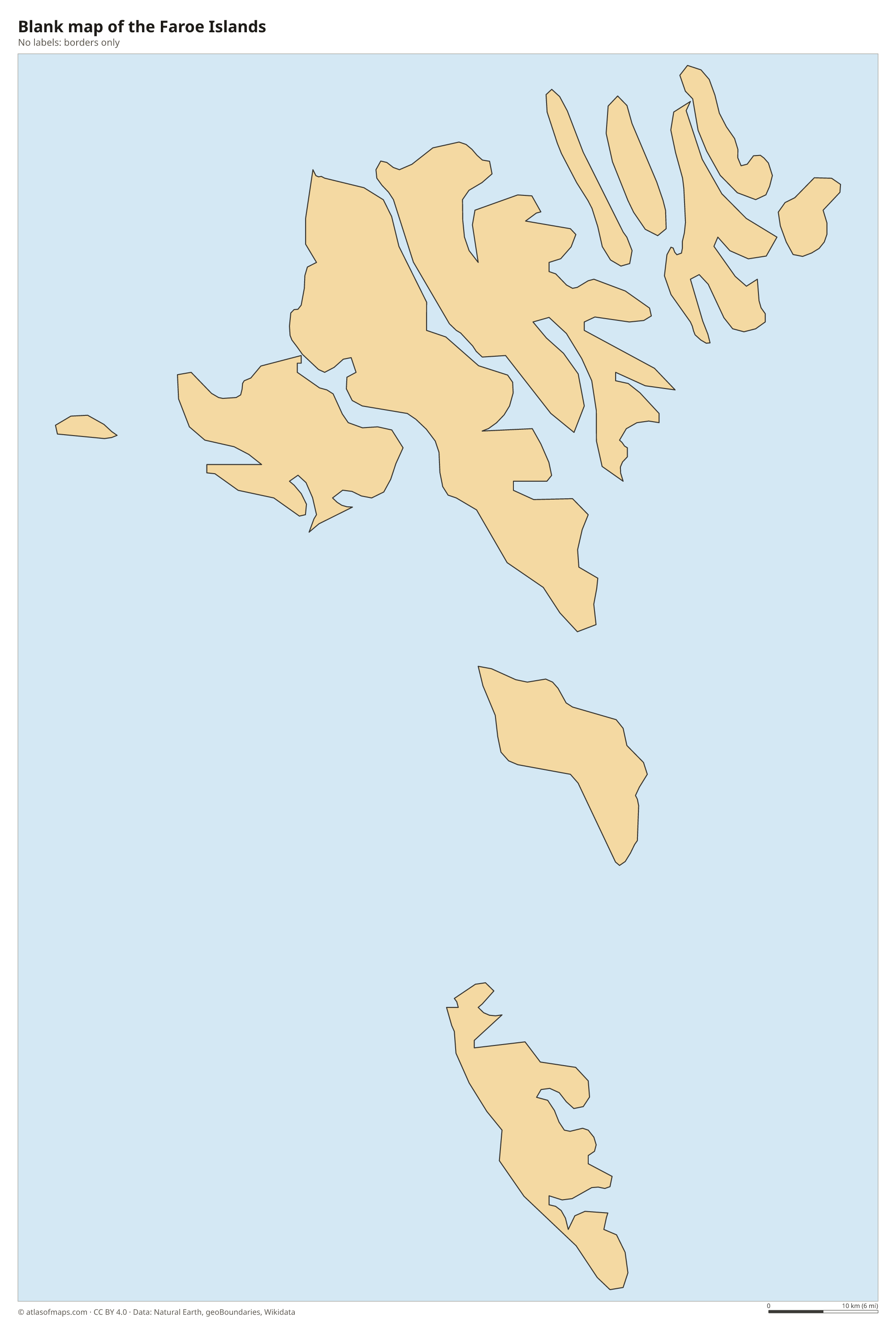
Blank map of the Faroe Islands

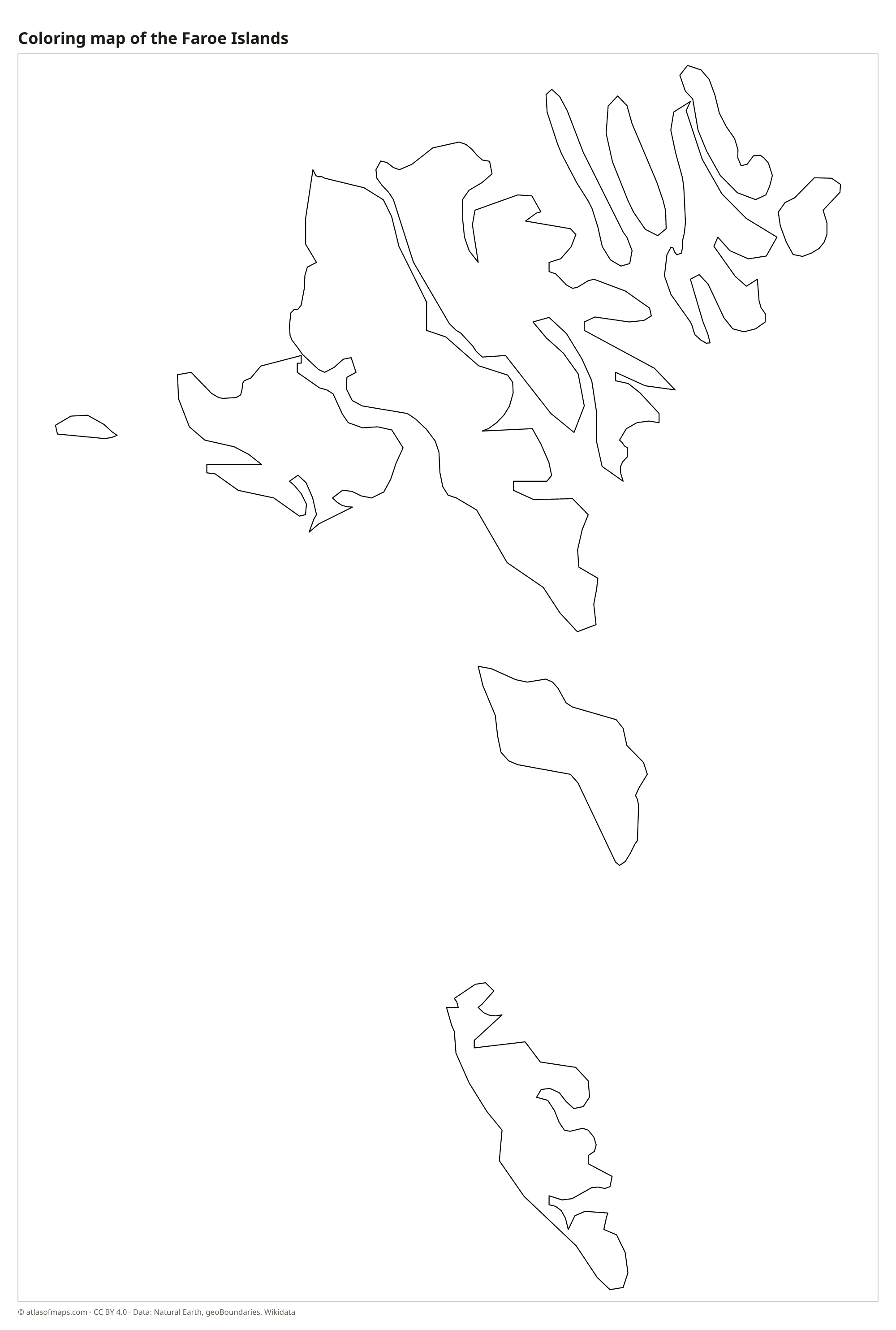
Coloring map of the Faroe Islands

Geography of the Faroe Islands
The Faroes consist of 18 main islands with a total area of 1,399 km² (540 sq mi). They are built from layers of ancient volcanic basalt, which ice-age glaciers carved into steep mountains, deep valleys and fjords. Sheer sea cliffs line many coasts, some rising hundreds of meters straight from the water. The highest peak, Slættaratindur on the island of Eysturoy, reaches 880 m (2,887 ft). Streymoy is the largest island and home to the capital, Tórshavn.
The climate is oceanic, cool and wet, with mild winters thanks to the warm North Atlantic Current and cool summers. The weather changes quickly, with frequent fog, wind and rain. There are almost no native trees, and the hillsides are covered by grass, moss and heather grazed by sheep. Seabirds such as puffins nest in great numbers on the cliffs. Many islands are linked by bridges, causeways and tunnels, including undersea tunnels that connect Streymoy with Vágar, Eysturoy and Sandoy.
Fun facts
- An undersea tunnel between Streymoy and Eysturoy, opened in 2020, has a roundabout beneath the sea.
- There are more sheep than people on the Faroe Islands, home to about 54,000 people (2023), and the name is usually explained as meaning sheep islands.
- The Faroe Islands are not part of the European Union, even though Denmark is a member.
Flag of the Faroe Islands
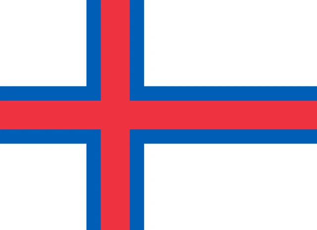
The flag of the Faroe Islands, called Merkið (the banner), is white with a red Nordic cross outlined in blue. The vertical arm of the cross is set toward the hoist side, as on the other Nordic flags. The flag has no emblem, and its official proportions are 8:11.
Frequently asked questions
Are the Faroe Islands part of Denmark?
The Faroe Islands are a self-governing territory within the Kingdom of Denmark. They have their own parliament and government, while Denmark handles matters such as defense, and unlike Denmark they are not in the EU.
Where are the Faroe Islands?
The Faroe Islands lie in the North Atlantic Ocean, northwest of Scotland's Shetland Islands and roughly halfway between Norway and Iceland.
How many islands are in the Faroe Islands?
The Faroes consist of 18 main islands, 17 of which are inhabited, plus many islets and skerries. Lítla Dímun, the smallest of the main islands, has no permanent residents.
What is the capital of the Faroe Islands?
The capital of the Faroe Islands is Tórshavn.
What countries border the Faroe Islands?
The Faroe Islands has no land borders with other countries.
What language is spoken in the Faroe Islands?
The official languages are Faroese and Danish.
Can I print the map of the Faroe Islands?
Yes. Every map on this page can be downloaded for free as PNG or PDF (US Letter) and printed, including the blank map and the coloring map. Please credit the source (Atlas of Maps, CC BY 4.0).
Use this map
You can download, print and share this map for free, in class, in school projects, in presentations and on websites, as long as you credit the source: Map of the Faroe Islands · Atlas of Maps (atlasofmaps.com), license CC BY 4.0.
See also: Map of Europe · World map