Map of the Maldives with regions and capitals
The Maldives is an island country in the Indian Ocean, southwest of India and Sri Lanka. It is a chain of coral atolls that reaches across the equator, with no land borders; its nearest neighbors are India and Sri Lanka. The political map shows its 21 regions, the capital, Malé, and major cities.

- Capital
- Malé
- Population
- 436,330 (2017)
- Area
- 298 km² (115 sq mi)
- Population density
- 1,464 per km² (3,792 per sq mi)
- Official language
- Maldivian
- Currency
- Maldivian rufiyaa
- Demonym
- Maldivian
- Regions
- 21
- Highest point
- Villingili (5 m (16 ft))
- Calling code
- +960
- Internet domain
- .mv
Where is the Maldives?
The Maldives is an island country in the Indian Ocean, southwest of India and Sri Lanka. It is a chain of coral atolls that reaches across the equator, with no land borders; its nearest neighbors are India and Sri Lanka.

Regions of the Maldives
The map shows 21 units: the administrative atolls, which group one or more natural atolls and are named with letters of the Thaana alphabet, such as Haa Alif and Kaafu, plus the capital city of Malé. Addu Atoll in the far south is also a city.
| Region | Population | Area |
|---|---|---|
| Addu Atoll | 33,694 | 11 km² (4.2 sq mi) |
| Alif Alif Atoll | 5,905 | — |
| Alif Dhaal Atoll | — | — |
| Baa Atoll | — | 7 km² (2.7 sq mi) |
| Dhaalu Atoll | — | — |
| Faafu Atoll | — | — |
| Gaafu Alif Atoll | — | — |
| Gaafu Dhaalu Atoll | — | — |
| Gnaviyani Atoll | — | — |
| Haa Alif Atoll | — | — |
| Haa Dhaalu Atoll | — | — |
| Kaafu Atoll | 12,166 | 9 km² (3.5 sq mi) |
| Laamu Atoll | — | — |
| Lhaviyani Atoll | — | — |
| Malé | 133,019 | 6 km² (2.3 sq mi) |
| Meemu Atoll | — | — |
| Noonu Atoll | — | — |
| Raa Atoll | 19,003 | — |
| Shaviyani Atoll | — | — |
| Thaa Atoll | — | — |
| Vaavu Atoll | — | — |
Population from Wikidata (latest figure available for each region).
Blank and coloring maps of the Maldives
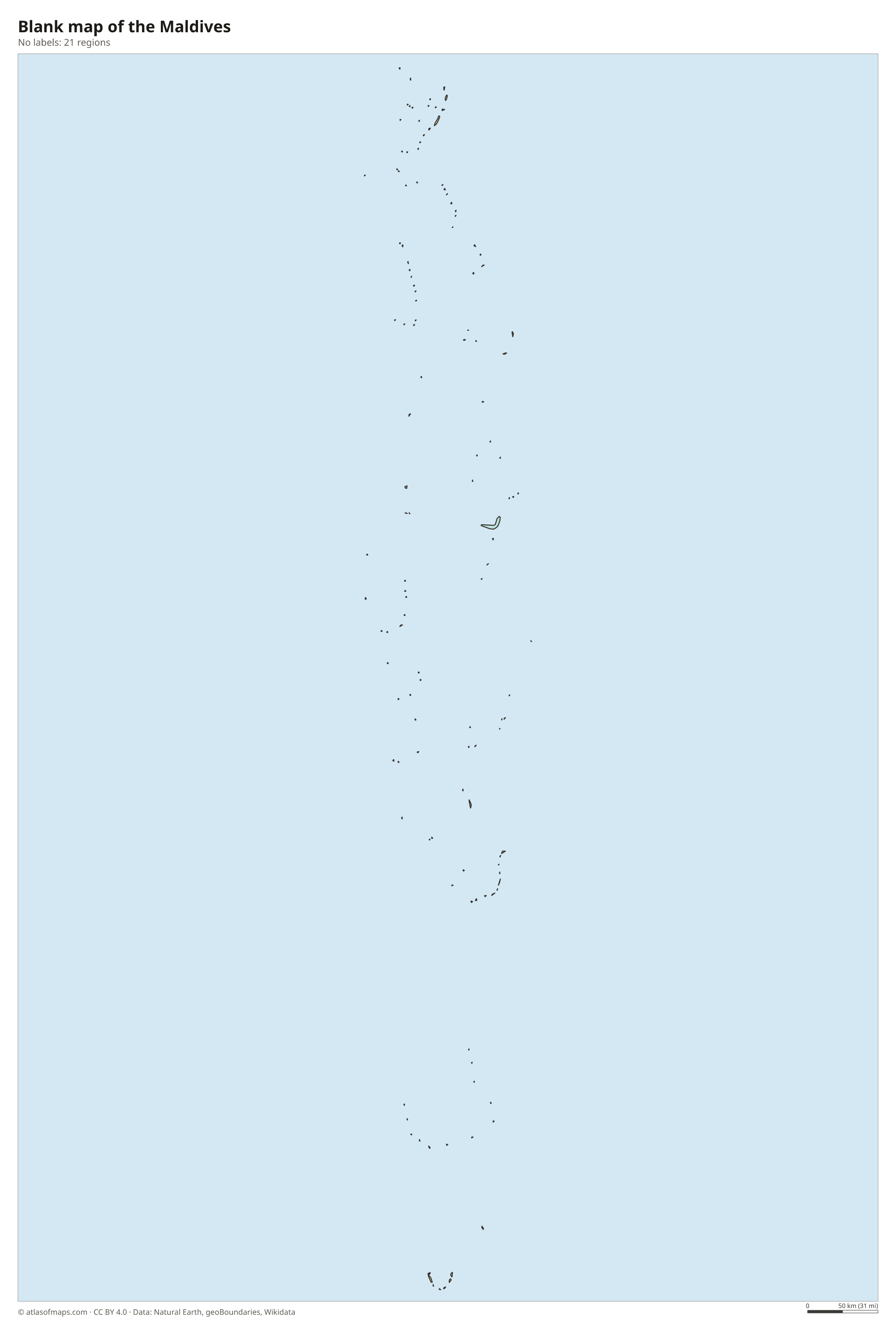
Blank map of the Maldives

Coloring map of the Maldives

Geography of the Maldives
The Maldives has only 298 km² (115 sq mi) of land, scattered across roughly 1,200 small coral islands grouped into 26 natural atolls. The atolls form a double chain that runs north to south for more than 800 km (500 mi). Each atoll is a ring of reefs and islands around a lagoon, and most islands are tiny, flat and sandy. The highest natural point, on Villingili in Addu Atoll, is only 5 m (16 ft) above sea level, which makes the Maldives the lowest-lying country in the world.
The islands sit on the Laccadive-Chagos Ridge, a long underwater mountain chain that rises from the deep ocean floor. Around them, shallow lagoons and coral reefs are home to reef fish, manta rays, whale sharks and sea turtles. There are no rivers or streams, so fresh water comes from rain and from desalination plants. The climate is tropical and humid all year, with a drier northeast monsoon from about December to April and a wetter southwest monsoon from about May to November.
Fun facts
- The Maldives is the smallest country in Asia by both land area and population.
- The English word "atoll" comes from Dhivehi, the language of the Maldives.
- The capital, Malé, is packed onto one small island and is one of the most densely populated cities in the world.
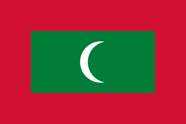
Flag of the Maldives
The flag of the Maldives has a red field with a large green rectangle in the center. Inside the green panel is a white crescent, its horns facing the fly side of the flag. The flag has a 2:3 ratio and no other symbols, and the red border is the same width all around the green panel.
Frequently asked questions
Where are the Maldives located?
The Maldives lies in the Indian Ocean, southwest of India and Sri Lanka. Its chain of atolls runs from north of the equator to just south of it.
How many islands does the Maldives have?
The Maldives has about 1,200 coral islands in 26 natural atolls, organized into 21 administrative units including Malé. Only around 200 islands are inhabited, and many others are used for resorts.
What is the capital of the Maldives?
Malé is the capital and largest city. It covers a small island in Kaafu Atoll, and the main international airport is on the neighboring island of Hulhulé.
What countries border the Maldives?
The Maldives has no land borders with other countries: all its borders are at sea.
How many regions does the Maldives have?
The Maldives is divided into 21 regions: Addu Atoll, Alif Alif Atoll, Alif Dhaal Atoll, Baa Atoll, Dhaalu Atoll, Faafu Atoll, Gaafu Alif Atoll, Gaafu Dhaalu Atoll, Gnaviyani Atoll, Haa Alif Atoll, Haa Dhaalu Atoll, Kaafu Atoll, Laamu Atoll, Lhaviyani Atoll, Malé, Meemu Atoll, Noonu Atoll, Raa Atoll, Shaviyani Atoll, Thaa Atoll, and Vaavu Atoll.
What language is spoken in the Maldives?
The official language is Maldivian.
Can I print the map of the Maldives?
Yes. Every map on this page can be downloaded for free as PNG or PDF (US Letter) and printed, including the blank map and the coloring map. Please credit the source (Atlas of Maps, CC BY 4.0).
Use this map
You can download, print and share this map for free, in class, in school projects, in presentations and on websites, as long as you credit the source: Map of the Maldives · Atlas of Maps (atlasofmaps.com), license CC BY 4.0.
See also: Map of Asia · World map