Map of the Marshall Islands with regions and capitals
The Marshall Islands is an island country in the central Pacific Ocean, in the region of Micronesia. It lies north of the equator, roughly halfway between Hawaii and Australia, and has no land borders; nearby countries include Kiribati, Nauru and Micronesia. The political map shows its 2 regions, the capital, Majuro, and major cities.

- Capital
- Majuro
- Population
- 53,127 (2017)
- Area
- 181 km² (70 sq mi)
- Population density
- 294 per km² (760 per sq mi)
- Official languages
- English and Marshallese
- Currency
- United States dollar and SOV
- Demonym
- Marshallese
- Regions
- 2
- Highest point
- Likiep Atoll (10 m (33 ft))
- Calling code
- +692
- Internet domain
- .mh
Where is the Marshall Islands?
The Marshall Islands is an island country in the central Pacific Ocean, in the region of Micronesia. It lies north of the equator, roughly halfway between Hawaii and Australia, and has no land borders; nearby countries include Kiribati, Nauru and Micronesia.

Regions of the Marshall Islands
The map divides the Marshall Islands into its 2 island chains: the Ratak (Sunrise) Chain in the east and the Ralik (Sunset) Chain in the west. For local government, the atolls and islands are organized into municipalities.
| Region | Area |
|---|---|
| Ralik Chain | — |
| Ratak Chain | 88 km² (34 sq mi) |
Blank and coloring maps of the Marshall Islands
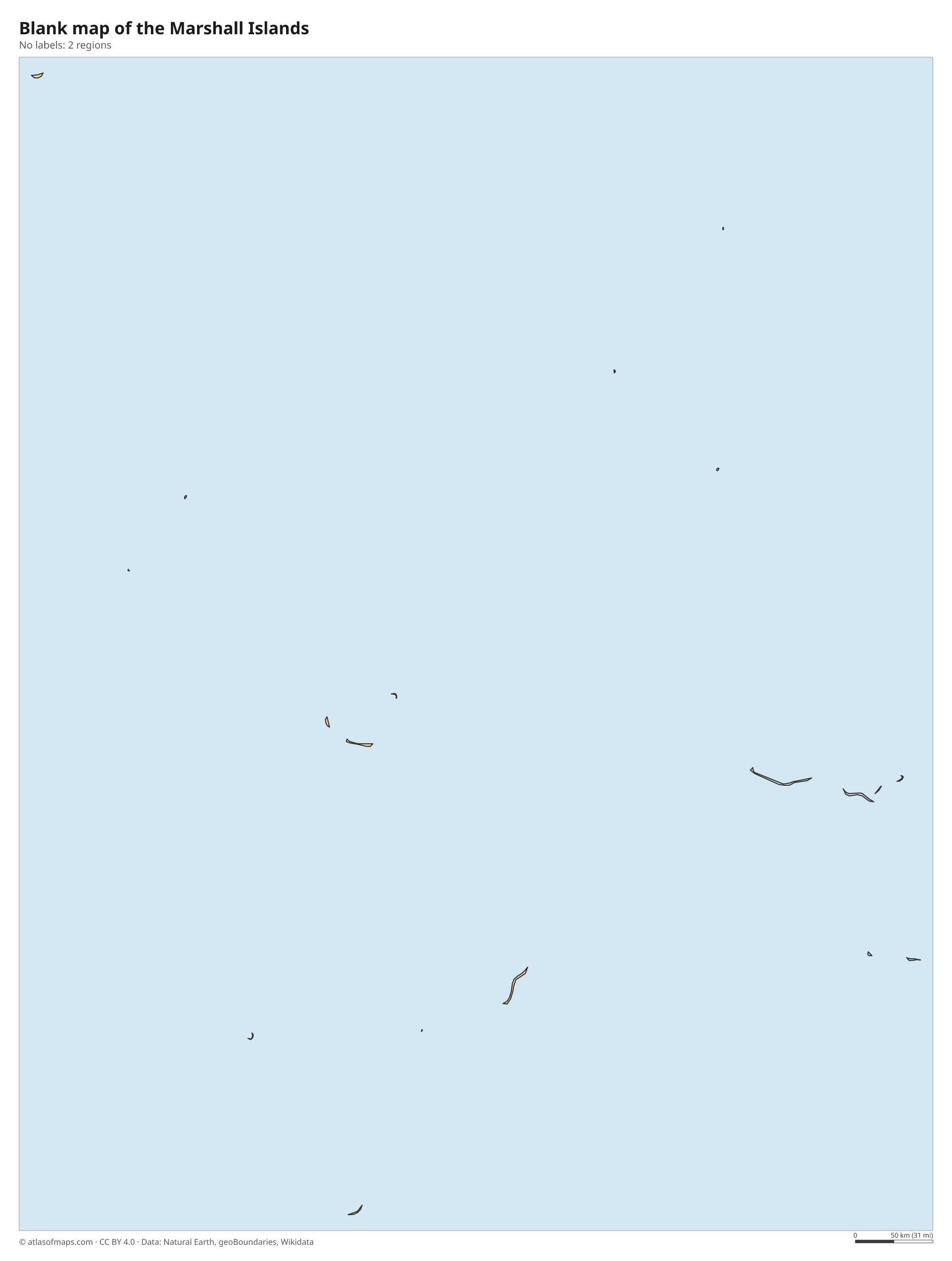
Blank map of the Marshall Islands

Coloring map of the Marshall Islands

Geography of the Marshall Islands
The Marshall Islands has only 181 km² (70 sq mi) of land, spread over a vast area of ocean. The country consists of 29 coral atolls and 5 single islands, arranged in two roughly parallel chains that run from northwest to southeast. All of the land is low and flat, built of coral sand and rock on top of ancient volcanoes that sank beneath the sea long ago. The highest point, on Likiep Atoll, is only about 10 m (33 ft) above sea level.
Each atoll is a ring of narrow islets surrounding a lagoon. Kwajalein, in the Ralik Chain, encloses one of the largest lagoons of any atoll in the world, and Majuro, the capital, curves around a long lagoon in the Ratak Chain. There are no rivers, so fresh water comes mainly from rain collected on roofs and, in Majuro, on the airport runway. The climate is hot and humid, wetter in the south than in the dry northern atolls, and rising sea levels are a serious threat.
Fun facts
- Bikini Atoll, in the Ralik Chain, was the site of US nuclear weapons tests from 1946 to 1958.
- The Marshall Islands uses the US dollar and is linked to the United States by a Compact of Free Association.
- The 29 atolls are made up of more than 1,000 individual islets.
Flag of the Marshall Islands
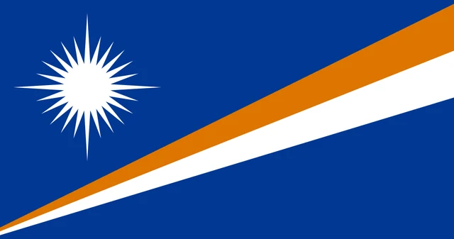
The flag of the Marshall Islands is dark blue with two diagonal stripes, orange above white, that widen as they rise from the lower hoist corner to the upper fly corner. In the upper hoist corner is a white star with 24 rays, four of which are longer than the others and form a cross. The flag has a 10:19 ratio.
Flag of the Marshall Islands: meaning, colors and download →
Frequently asked questions
Where are the Marshall Islands?
The Marshall Islands lie in the central Pacific Ocean, north of the equator and west of the International Date Line, roughly halfway between Hawaii and Australia.
How many islands are in the Marshall Islands?
The country is made up of 29 coral atolls and 5 single islands, which together contain more than 1,000 islets. They form two chains, the Ratak and the Ralik.
What is the capital of the Marshall Islands?
Majuro is the capital. It is an atoll in the Ratak Chain, where a string of islets linked by a single long road curves around a large lagoon and holds a large share of the population.
What countries border the Marshall Islands?
The Marshall Islands has no land borders with other countries: all its borders are at sea.
How many regions does the Marshall Islands have?
The Marshall Islands is divided into 2 regions: Ralik Chain and Ratak Chain.
What language is spoken in the Marshall Islands?
The official languages are English and Marshallese.
Can I print the map of the Marshall Islands?
Yes. Every map on this page can be downloaded for free as PNG or PDF (US Letter) and printed, including the blank map and the coloring map. Please credit the source (Atlas of Maps, CC BY 4.0).
Use this map
You can download, print and share this map for free, in class, in school projects, in presentations and on websites, as long as you credit the source: Map of the Marshall Islands · Atlas of Maps (atlasofmaps.com), license CC BY 4.0.
See also: Map of Oceania · World map