Map of the Solomon Islands with regions and capitals
The Solomon Islands is an island country in Oceania, in the southwest Pacific Ocean, east of Papua New Guinea and northwest of Vanuatu. It has no land borders and is part of the Melanesia region. The political map shows its 10 regions, the capital, Honiara, and major cities.

- Capital
- Honiara
- Population
- 611,343 (2017)
- Area
- 28,400 km² (10,965 sq mi)
- Population density
- 22 per km² (56 per sq mi)
- Official language
- English
- Currency
- Solomon Islands dollar
- Demonym
- Solomon Islander
- Regions
- 10
- Highest point
- Mount Popomanaseu (2,335 m (7,661 ft))
- Calling code
- +677
- Internet domain
- .sb
Where is the Solomon Islands?
The Solomon Islands is an island country in Oceania, in the southwest Pacific Ocean, east of Papua New Guinea and northwest of Vanuatu. It has no land borders and is part of the Melanesia region.

Regions of the Solomon Islands and their capitals
The Solomon Islands is divided into 9 provinces and the capital territory of Honiara, giving 10 units on the map. Honiara lies on the north coast of Guadalcanal but is administered separately from Guadalcanal Province.
| Region | Capital | Population | Area |
|---|---|---|---|
| Central | Tulagi | — | 615 km² (237 sq mi) |
| Choiseul | Taro Island | — | 3,837 km² (1,481 sq mi) |
| Guadalcanal | Honiara | 93,613 | 5,336 km² (2,060 sq mi) |
| Honiara | Honiara | 84,520 | 22 km² (8.5 sq mi) |
| Isabel | Buala | — | 4,136 km² (1,597 sq mi) |
| Makira-Ulawa | Kirakira | — | 3,188 km² (1,231 sq mi) |
| Malaita | Auki | — | 4,225 km² (1,631 sq mi) |
| Rennell and Bellona | Tigoa | — | 671 km² (259 sq mi) |
| Temotu | Lata | 21,362 | 895 km² (346 sq mi) |
| Western | Gizo | — | 5,475 km² (2,114 sq mi) |
Population from Wikidata (latest figure available for each region).
Blank and coloring maps of the Solomon Islands
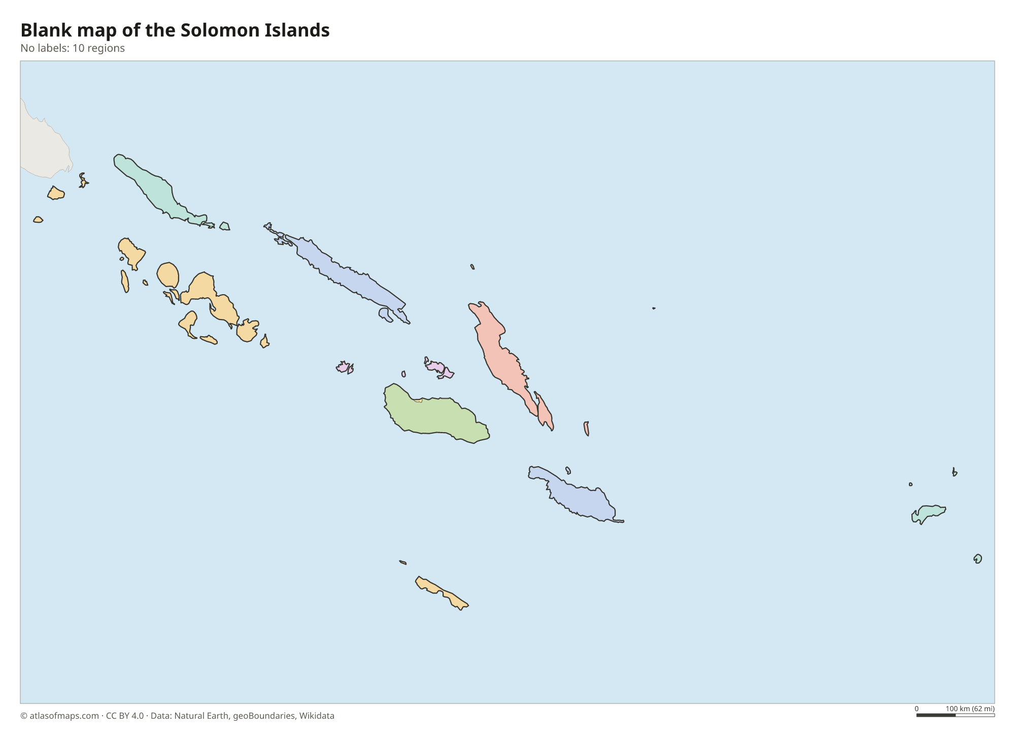
Blank map of the Solomon Islands

Coloring map of the Solomon Islands

Geography of the Solomon Islands
The country is a double chain of nearly a thousand islands, stretching from Choiseul and the Shortland Islands near Bougainville to the Santa Cruz Islands in the southeast. The six largest are Choiseul, Santa Isabel, New Georgia, Guadalcanal, Malaita and Makira. They are mostly volcanic, rugged and covered in rainforest, with narrow coastal plains. Guadalcanal, the largest, holds the highest point, Mount Popomanaseu, at 2,335 m (7,661 ft). There are also low coral atolls, such as Ontong Java, and raised coral islands like Rennell.
The two island chains enclose a sheltered sea, New Georgia Sound, nicknamed the Slot in World War II. Marovo Lagoon in the Western Province is one of the largest saltwater lagoons in the world, and Lake Tegano on Rennell, within the UNESCO-listed East Rennell, is the largest lake in the insular Pacific. Rivers are short but swift, especially on Guadalcanal. The climate is tropical and humid, with heavy rain and a wet season from about November to April, when cyclones can occur. Several active volcanoes, including the underwater Kavachi, lie in the area.
Fun facts
- Guadalcanal was the site of a major battle between Allied and Japanese forces in World War II.
- The islands were named by a Spanish explorer in the 16th century after the legendary riches of King Solomon.
- Malaita is the most populous province, although Guadalcanal is the largest island.
Flag of the Solomon Islands
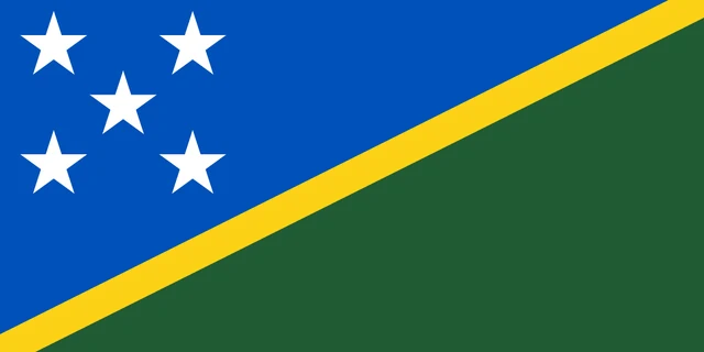
The flag of the Solomon Islands is divided by a thin yellow diagonal stripe running from the lower hoist corner to the upper fly corner. The triangle above it, at the hoist, is blue and holds five white five-pointed stars; the triangle below it, at the fly, is green.
Frequently asked questions
Where are the Solomon Islands?
The Solomon Islands are in the southwest Pacific Ocean, in Melanesia. They lie east of Papua New Guinea, northwest of Vanuatu and northeast of Australia.
How many provinces does the Solomon Islands have?
The Solomon Islands has 9 provinces plus the capital territory of Honiara, making 10 units on the map. Honiara, the capital, is on the island of Guadalcanal.
Does Bougainville belong to the Solomon Islands?
No. Bougainville is geographically part of the Solomon Islands chain, but it belongs to Papua New Guinea as the Autonomous Region of Bougainville.
What is the capital of the Solomon Islands?
The capital of the Solomon Islands is Honiara.
What countries border the Solomon Islands?
The Solomon Islands has no land borders with other countries: all its borders are at sea.
What language is spoken in the Solomon Islands?
The official language is English.
Can I print the map of the Solomon Islands?
Yes. Every map on this page can be downloaded for free as PNG or PDF (US Letter) and printed, including the blank map and the coloring map. Please credit the source (Atlas of Maps, CC BY 4.0).
Use this map
You can download, print and share this map for free, in class, in school projects, in presentations and on websites, as long as you credit the source: Map of the Solomon Islands · Atlas of Maps (atlasofmaps.com), license CC BY 4.0.
See also: Map of Oceania · World map