Map of the U.S. Virgin Islands with regions and capitals
The U.S. Virgin Islands are a group of islands in the northeastern Caribbean, just east of Puerto Rico, between the Atlantic Ocean and the Caribbean Sea. They are an unincorporated territory of the United States, next to the British Virgin Islands. The political map shows its 3 regions, the capital, Charlotte Amalie, and major cities.
Unincorporated territory of the United States.

- Capital
- Charlotte Amalie
- Population
- 87,146 (2020)
- Area
- 346 km² (134 sq mi)
- Population density
- 252 per km² (652 per sq mi)
- Official language
- English
- Currency
- United States dollar
- Regions
- 3
- Highest point
- Crown Mountain (473 m (1,552 ft))
- Calling code
- +1340
- Internet domain
- .vi
Where is the U.S. Virgin Islands?
The U.S. Virgin Islands are a group of islands in the northeastern Caribbean, just east of Puerto Rico, between the Atlantic Ocean and the Caribbean Sea. They are an unincorporated territory of the United States, next to the British Virgin Islands.

Regions of the U.S. Virgin Islands and their capitals
The territory is divided into 3 districts, one for each main island: St. Thomas, which includes Water Island, St. John and St. Croix. The capital, Charlotte Amalie, lies on the south coast of St. Thomas.
| Region | Capital | Population | Area |
|---|---|---|---|
| Saint Croix | — | — | — |
| Saint John | St. John's | 49,225 | 67 km² (26 sq mi) |
| Saint Thomas | — | — | — |
Population from Wikidata (latest figure available for each region).
Blank and coloring maps of the U.S. Virgin Islands
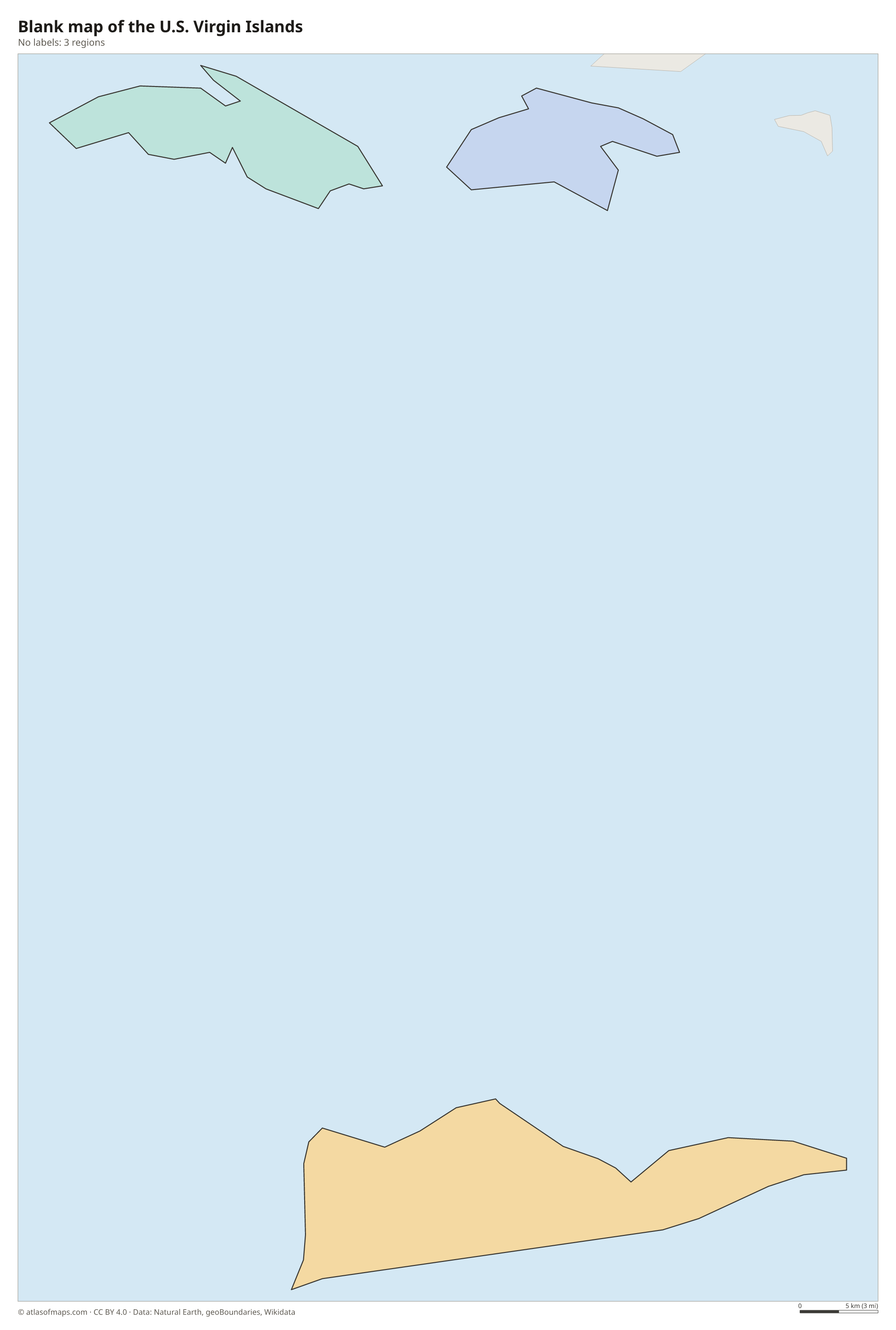
Blank map of the U.S. Virgin Islands

Coloring map of the U.S. Virgin Islands

Geography of the U.S. Virgin Islands
The territory covers about 346 km² (134 sq mi) on three main islands, St. Thomas, St. John and St. Croix, along with Water Island and dozens of small cays. St. Thomas and St. John are steep and hilly, with deep bays and many small coves; Crown Mountain on St. Thomas is the highest point at 473 m (1,552 ft). St. Croix, the largest island, lies about 64 km (40 mi) to the south across deep water and has gentler hills and wider coastal plains, especially in the south and west.
The islands have no large rivers or lakes, and fresh water comes mainly from rain and desalination. Coral reefs, mangroves and white sand beaches line the coasts, and more than half of St. John is protected as Virgin Islands National Park. Off the north coast of St. Croix, Buck Island Reef National Monument protects a barrier reef. The climate is tropical and warm all year, cooled by trade winds, with a rainier season in late summer and fall, when hurricanes can strike.
Fun facts
- The U.S. Virgin Islands are the only part of the United States where cars drive on the left side of the road.
- Point Udall on St. Croix is often called the easternmost point of the United States.
- Before 1917 the islands were a Danish colony, and many streets and buildings in Charlotte Amalie still carry Danish names.
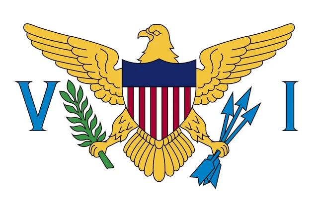
Flag of the U.S. Virgin Islands
The flag of the U.S. Virgin Islands is white with a simplified version of the coat of arms of the United States in the center. A yellow eagle holds an olive branch in one claw and three blue arrows in the other, and a shield with red and white stripes and a blue top covers its chest. The blue letters V and I stand on either side.
Flag of the U.S. Virgin Islands: meaning, colors and download →
Frequently asked questions
Are the U.S. Virgin Islands part of the United States?
Yes. The U.S. Virgin Islands are an unincorporated territory of the United States. People born there are U.S. citizens and the currency is the U.S. dollar, but the territory is not a state.
What is the capital of the U.S. Virgin Islands?
The capital is Charlotte Amalie, on the south coast of St. Thomas. Its deep, sheltered harbor is a busy stop for cruise ships.
How many islands are in the U.S. Virgin Islands?
There are three main islands, St. Croix, St. Thomas and St. John, plus the smaller Water Island and around 50 islets and cays.
What countries border the U.S. Virgin Islands?
The U.S. Virgin Islands has no land borders with other countries.
How many regions does the U.S. Virgin Islands have?
The U.S. Virgin Islands is divided into 3 regions: Saint Croix, Saint John, and Saint Thomas.
What language is spoken in the U.S. Virgin Islands?
The official language is English.
Can I print the map of the U.S. Virgin Islands?
Yes. Every map on this page can be downloaded for free as PNG or PDF (US Letter) and printed, including the blank map and the coloring map. Please credit the source (Atlas of Maps, CC BY 4.0).
Use this map
You can download, print and share this map for free, in class, in school projects, in presentations and on websites, as long as you credit the source: Map of the U.S. Virgin Islands · Atlas of Maps (atlasofmaps.com), license CC BY 4.0.
See also: Map of North America · Map of the Caribbean · World map