Map of Tonga with regions and capitals
Tonga is an island kingdom in Oceania, in the South Pacific Ocean. Its islands lie in two north-south chains, with Fiji to the northwest, Samoa to the northeast and Niue to the east, while New Zealand lies far to the southwest. The political map shows its 5 regions, the capital, Nukuʻalofa, and major cities.

- Capital
- Nukuʻalofa
- Population
- 108,020 (2017)
- Area
- 749 km² (289 sq mi)
- Population density
- 144 per km² (374 per sq mi)
- Official languages
- Tongan and English
- Currency
- Tongan paʻanga
- Demonym
- Tongan
- Regions
- 5
- Highest point
- Kao (1,030 m (3,379 ft))
- Calling code
- +676
- Internet domain
- .to
Where is Tonga?
Tonga is an island kingdom in Oceania, in the South Pacific Ocean. Its islands lie in two north-south chains, with Fiji to the northwest, Samoa to the northeast and Niue to the east, while New Zealand lies far to the southwest.

Regions of Tonga and their capitals
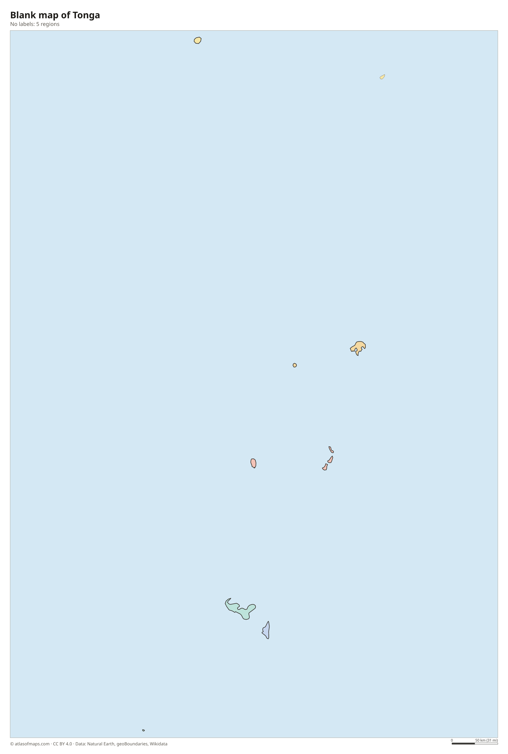
Tonga is divided into 5 island divisions: Tongatapu, home to the capital Nukuʻalofa, ʻEua, Haʻapai, Vavaʻu and the remote Niuas in the far north. The divisions follow the main island groups seen on the map.
| Region | Capital | Population | Area |
|---|---|---|---|
| Haʻapai | — | — | 109 km² (42 sq mi) |
| ʻEua | — | 4,950 | 87 km² (34 sq mi) |
| Niuas | — | — | 72 km² (28 sq mi) |
| Tongatapu | Nukuʻalofa | 71,260 | 260 km² (100 sq mi) |
| Vavaʻu | — | — | 138 km² (53 sq mi) |
Population from Wikidata (latest figure available for each region).
Blank and coloring maps of Tonga
Blank map of Tonga

Coloring map of Tonga

Geography of Tonga
Tonga is made up of about 170 islands, fewer than 40 of them inhabited, with a total land area of about 749 km² (289 sq mi). They lie in two parallel chains. The eastern chain consists mostly of low coral islands and raised limestone, such as Tongatapu, the largest island, and ʻEua. The western chain is volcanic and includes Tofua and Kao, a steep volcanic cone that rises to 1,030 m (3,379 ft), the highest point in the country.
East of the islands, the Tonga Trench plunges to some of the greatest depths in any ocean, and the region is very active geologically. In January 2022 the undersea volcano Hunga Tonga-Hunga Haʻapai erupted violently, sending ash high into the atmosphere and a tsunami across the Pacific. Tonga has a tropical climate, warm and humid all year, with a wet season from about November to April, when tropical cyclones can strike. Coral reefs and lagoons surround many islands, especially in the sheltered waters of Vavaʻu.
Fun facts
- Tonga lies just west of the International Date Line, so it is one of the first countries to begin each new day.
- Tonga has its own royal family and was never formally colonized, although it was a British protected state from 1900 to 1970.
Flag of Tonga
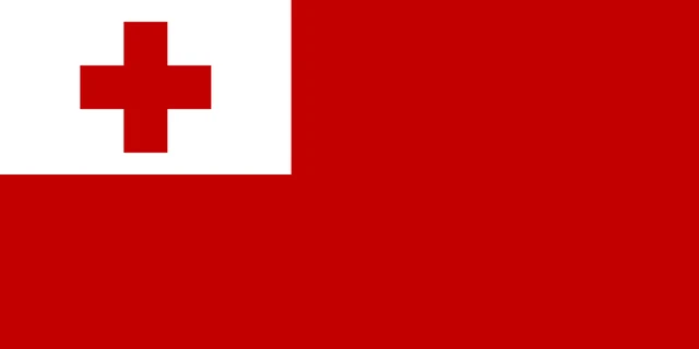
The flag of Tonga has a red field with a white rectangle in the upper hoist corner. Inside the white canton is a red cross with four equal arms that do not touch the edges. The design is simple and bold, and it has stayed essentially the same since the 19th century.
Frequently asked questions
How many islands does Tonga have?
Tonga has about 170 islands, but only around 36 of them are inhabited. Most people live on Tongatapu, the main island, where the capital Nukuʻalofa is located.
How many regions does Tonga have?
Tonga has 5 regions, called divisions: Tongatapu, Vavaʻu, Haʻapai, ʻEua and the Niuas. Each one corresponds to an island group.
What is the capital of Tonga?
The capital is Nukuʻalofa, on the north coast of Tongatapu. It is the largest town and the seat of the king, the government and the parliament.
What countries border Tonga?
Tonga has no land borders with other countries: all its borders are at sea.
What language is spoken in Tonga?
The official languages are Tongan and English.
Can I print the map of Tonga?
Yes. Every map on this page can be downloaded for free as PNG or PDF (US Letter) and printed, including the blank map and the coloring map. Please credit the source (Atlas of Maps, CC BY 4.0).
Use this map
You can download, print and share this map for free, in class, in school projects, in presentations and on websites, as long as you credit the source: Map of Tonga · Atlas of Maps (atlasofmaps.com), license CC BY 4.0.
See also: Map of Oceania · World map