Map of Trinidad and Tobago
Trinidad and Tobago is an island country in the southern Caribbean, just off the northeastern coast of Venezuela. It lies between the Caribbean Sea and the Atlantic Ocean, south of Grenada, and is the southernmost island nation of the Caribbean. The political map shows its regions, the capital, Port of Spain, and major cities.

- Capital
- Port of Spain
- Population
- 1.4 million (2017)
- Area
- 5,128 km² (1,980 sq mi)
- Population density
- 267 per km² (692 per sq mi)
- Official language
- English
- Currency
- Trinidad and Tobago dollar
- Demonym
- Trinidadian
- Highest point
- El Cerro del Aripo (940 m (3,084 ft))
- Calling code
- +1868
- Internet domain
- .tt
Where is Trinidad and Tobago?
Trinidad and Tobago is an island country in the southern Caribbean, just off the northeastern coast of Venezuela. It lies between the Caribbean Sea and the Atlantic Ocean, south of Grenada, and is the southernmost island nation of the Caribbean.

Regions of Trinidad and Tobago and their capitals
Trinidad is divided into regional corporations and municipal corporations, such as the cities of Port of Spain and San Fernando, while Tobago is run by its own Tobago House of Assembly. The map uses Natural Earth boundaries, which may not match the latest local reforms.
The divisions on the map come from Natural Earth and may not reflect the latest territorial reform in Trinidad and Tobago.
| Region | Capital | Population | Area |
|---|---|---|---|
| Arima | — | 33,807 | 12 km² (4.6 sq mi) |
| Chaguanas | — | 83,489 | 60 km² (23 sq mi) |
| Couva-Tabaquite-Talparo | Couva | — | — |
| Diego Martin Regional Corporation | Diego Martin | — | 126 km² (49 sq mi) |
| Eastern Tobago | — | 60,874 | 300 km² (116 sq mi) |
| Mayaro-Rio Claro | — | — | — |
| Penal-Debe Regional Corporation | — | — | 247 km² (95 sq mi) |
| Point Fortin | — | 19,056 | 24 km² (9.3 sq mi) |
| Port of Spain | Port of Spain | 49,031 | 12 km² (4.6 sq mi) |
| Princes Town | Princes Town | — | — |
| San Fernando | — | 55,419 | 19 km² (7.3 sq mi) |
| San Juan–Laventille | San Juan | — | 899 km² (347 sq mi) |
| Sangre Grande Regional Corporation | — | — | 927 km² (358 sq mi) |
| Siparia Regional Corporation | — | — | 510 km² (197 sq mi) |
| Tunapuna-Piarco Regional Corporation | — | — | — |
| Western Tobago | — | 60,874 | 300 km² (116 sq mi) |
Population from Wikidata (latest figure available for each region).
Blank and coloring maps of Trinidad and Tobago
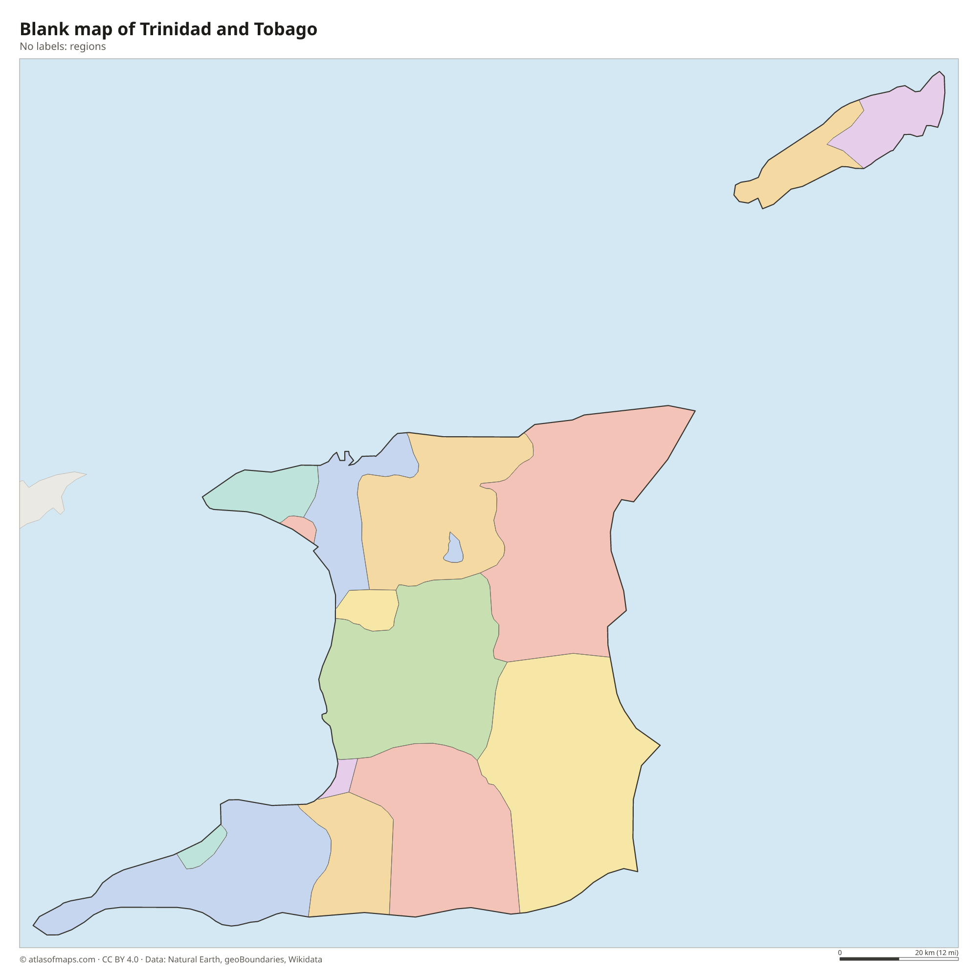
Blank map of Trinidad and Tobago

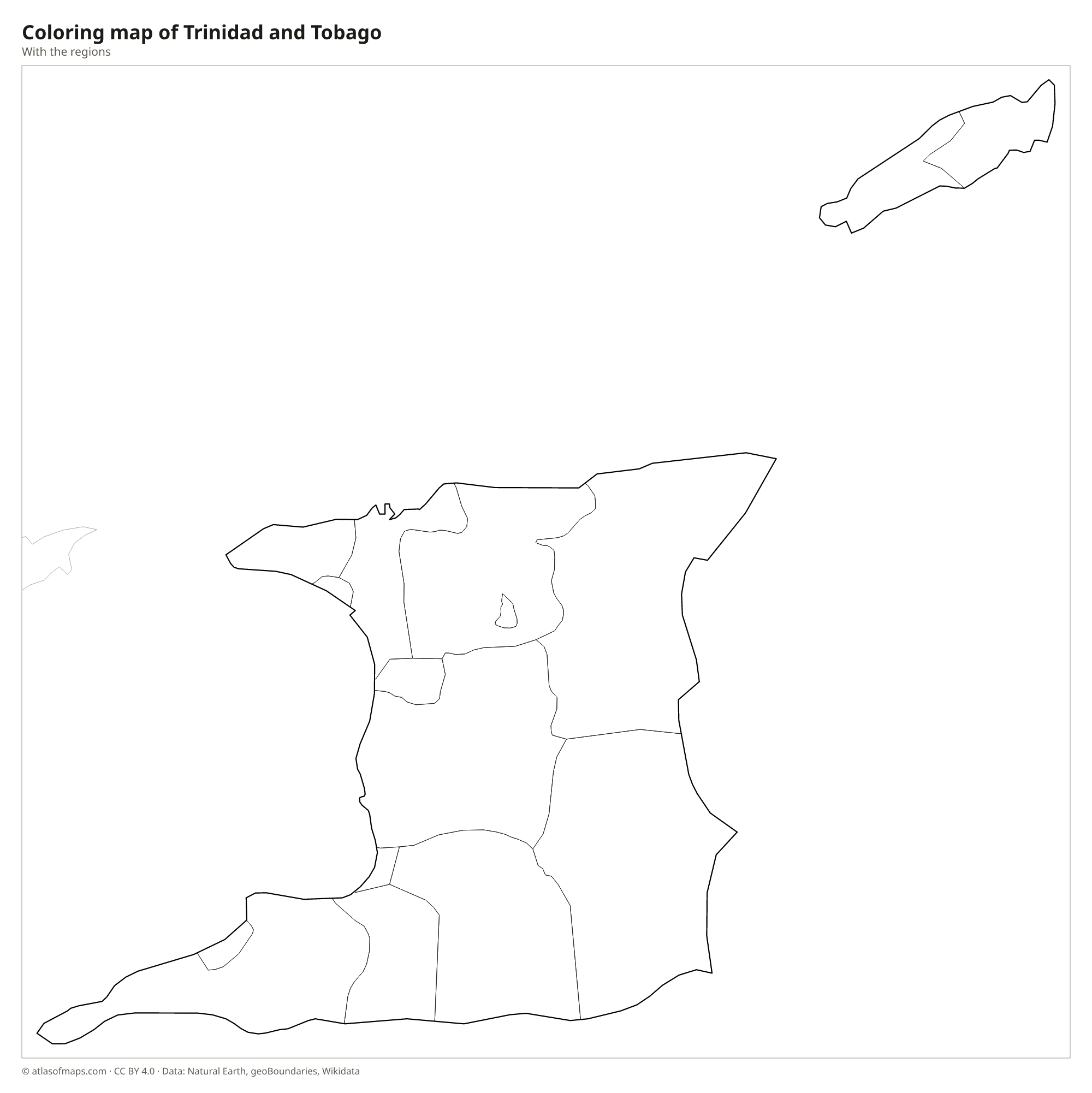
Coloring map of Trinidad and Tobago

Geography of Trinidad and Tobago
The country consists of two main islands, large Trinidad and smaller Tobago to its northeast, plus many tiny islets, with a total area of about 5,128 km² (1,980 sq mi). Trinidad was once joined to South America, and three ranges cross it from west to east. The Northern Range, a continuation of the coastal mountains of Venezuela, holds El Cerro del Aripo, the highest point at 940 m (3,084 ft). The Central and Southern ranges are much lower hills, separated by plains. Tobago is hilly, with a forested ridge along its spine.
The Gulf of Paria separates western Trinidad from Venezuela, and the narrow straits of the Dragon's Mouth and the Serpent's Mouth connect it to the open sea. Trinidad's rivers are short; the Caroni drains the northwest and ends in the Caroni Swamp, home of the scarlet ibis. In the southwest, the Pitch Lake at La Brea is the largest natural deposit of asphalt in the world. The climate is tropical, with a dry season early in the year and a rainy season from about June to December, and the islands lie south of the main hurricane belt.
Fun facts
- Trinidad sits on the South American continental shelf and was connected to the mainland during the last ice age.
- The steelpan, a musical instrument made from oil drums, was invented in Trinidad in the 20th century.
- The scarlet ibis of the Caroni Swamp is one of the two national birds of Trinidad and Tobago.
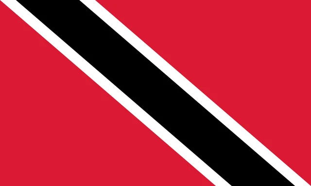
Flag of Trinidad and Tobago
The flag of Trinidad and Tobago is red with a black diagonal band, edged in white, running from the upper hoist corner to the lower fly corner. The band divides the red field into two triangles, and the flag has no emblem, stars or writing.
Frequently asked questions
Is Trinidad and Tobago in South America or North America?
Trinidad and Tobago is usually counted as part of the Caribbean and North America. Geologically, however, Trinidad belongs to South America and lies just across a narrow strait from Venezuela.
What is the capital of Trinidad and Tobago?
Port of Spain, on the Gulf of Paria in northwestern Trinidad, is the capital and main port. Scarborough is the main town on Tobago.
Which island is bigger, Trinidad or Tobago?
Trinidad is by far the larger island and is home to most of the population. Tobago, across a short stretch of sea to the northeast, is much smaller and more rural.
What countries border Trinidad and Tobago?
Trinidad and Tobago has no land borders with other countries: all its borders are at sea.
What language is spoken in Trinidad and Tobago?
The official language is English.
Can I print the map of Trinidad and Tobago?
Yes. Every map on this page can be downloaded for free as PNG or PDF (US Letter) and printed, including the blank map and the coloring map. Please credit the source (Atlas of Maps, CC BY 4.0).
Use this map
You can download, print and share this map for free, in class, in school projects, in presentations and on websites, as long as you credit the source: Map of Trinidad and Tobago · Atlas of Maps (atlasofmaps.com), license CC BY 4.0.
See also: Map of North America · Map of the Caribbean · World map