Map of Tuvalu
Tuvalu is a small island nation in Oceania, in the western Pacific Ocean, roughly halfway between Hawaii and Australia. Its nearest neighbors are Kiribati to the north, Fiji to the south and Samoa to the southeast.

- Capital
- Funafuti
- Population
- 10,643 (2022)
- Area
- 25 km² (9.7 sq mi)
- Population density
- 426 per km² (1,103 per sq mi)
- Official languages
- Tuvaluan and English
- Currency
- Tuvaluan dollar and Australian dollar
- Demonym
- Tuvaluan
- Highest point
- Niulakita (5 m (16 ft))
- Calling code
- +688
- Internet domain
- .tv
Where is Tuvalu?
Tuvalu is a small island nation in Oceania, in the western Pacific Ocean, roughly halfway between Hawaii and Australia. Its nearest neighbors are Kiribati to the north, Fiji to the south and Samoa to the southeast.

Blank and coloring maps of Tuvalu
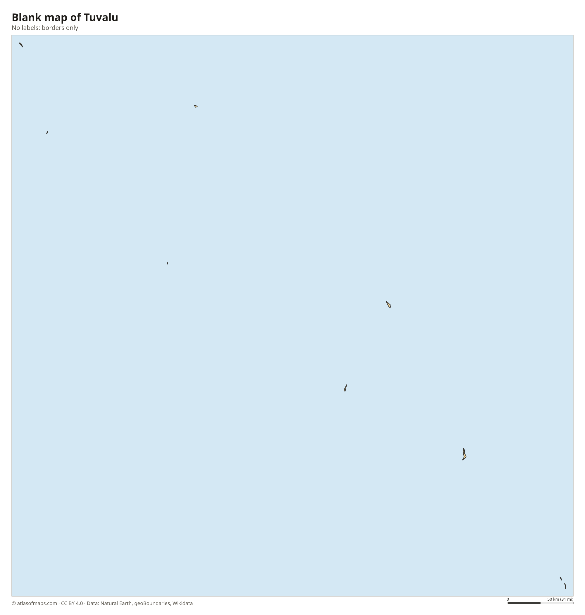
Blank map of Tuvalu

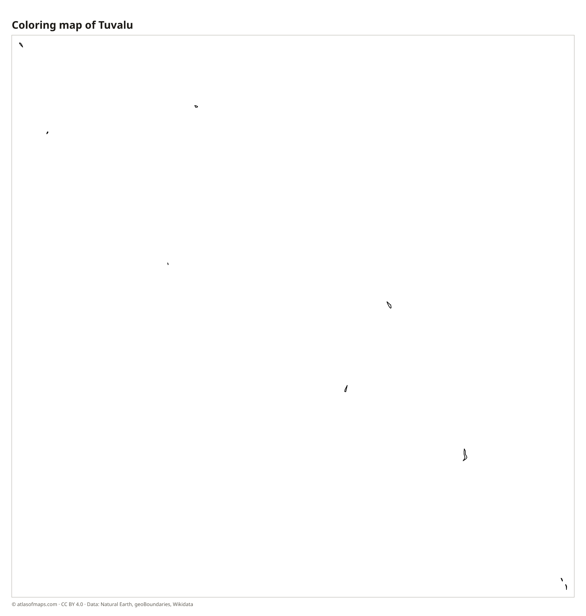
Coloring map of Tuvalu

Geography of Tuvalu
Tuvalu is made up of nine low islands, six atolls and three reef islands, scattered in a chain across the ocean. Together they have a land area of only about 25 km² (10 sq mi), which makes Tuvalu one of the smallest countries in the world. The islands are built of coral sand and rock, with no hills or rivers. The highest point, on Niulakita, is only about 5 m (16 ft) above sea level, one of the lowest high points of any country.
Each atoll is a ring of narrow islets around a central lagoon. Funafuti, the capital atoll, has a wide lagoon ringed by dozens of islets, and an airstrip takes up a large part of its main islet, Fongafale. The soil is poor and fresh water is scarce, so people rely on rainwater tanks, coconut palms and fishing. The climate is hot and humid all year, and because the land is so low, rising sea levels and storm waves are a serious threat.
Fun facts
- The name Tuvalu means eight standing together, after the eight islands that were traditionally inhabited.
- Tuvalu's internet domain, .tv, is licensed to companies abroad and is an important source of government income.
- Tuvalu is the fourth-smallest country in the world by area, after Vatican City, Monaco and Nauru.
Flag of Tuvalu
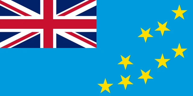
The flag of Tuvalu has a light blue field with the British Union Jack in the upper hoist corner. On the fly side are nine yellow five-pointed stars, placed to match the positions of Tuvalu's islands as they appear on a map of the ocean.
Frequently asked questions
What is the capital of Tuvalu?
The capital of Tuvalu is Funafuti, an atoll in the south-central part of the chain. Government offices are on Fongafale, its largest islet, and more than half of the population lives on Funafuti.
How many islands does Tuvalu have?
Tuvalu has nine islands: Nanumea, Niutao, Nanumanga, Nui, Vaitupu, Nukufetau, Funafuti, Nukulaelae and Niulakita. Six are atolls with lagoons and three are single reef islands.
Is Tuvalu sinking?
Tuvalu is not sinking, but its islands rise only a few meters above the sea, so rising sea levels, flooding and coastal erosion threaten homes, crops and fresh water.
What countries border Tuvalu?
Tuvalu has no land borders with other countries: all its borders are at sea.
What language is spoken in Tuvalu?
The official languages are Tuvaluan and English.
Can I print the map of Tuvalu?
Yes. Every map on this page can be downloaded for free as PNG or PDF (US Letter) and printed, including the blank map and the coloring map. Please credit the source (Atlas of Maps, CC BY 4.0).
Use this map
You can download, print and share this map for free, in class, in school projects, in presentations and on websites, as long as you credit the source: Map of Tuvalu · Atlas of Maps (atlasofmaps.com), license CC BY 4.0.
See also: Map of Oceania · World map