Map of Vanuatu with regions and capitals
Vanuatu is an island country in Oceania, in the South Pacific Ocean, east of northern Australia. Its Y-shaped chain of islands lies between the Solomon Islands to the north, New Caledonia to the southwest and Fiji to the east. The political map shows its 6 regions, the capital, Port Vila, and major cities.

- Capital
- Port Vila
- Population
- 300,019 (2020)
- Area
- 12,190 km² (4,707 sq mi)
- Population density
- 25 per km² (64 per sq mi)
- Official languages
- Bislama, French, and English
- Currency
- Vanuatu vatus
- Demonym
- Ni-Vanuatu
- Regions
- 6
- Highest point
- Mount Tabwemasana (1,879 m (6,165 ft))
- Calling code
- +678
- Internet domain
- .vu
- Official name
- Republic of Vanuatu
Where is Vanuatu?
Vanuatu is an island country in Oceania, in the South Pacific Ocean, east of northern Australia. Its Y-shaped chain of islands lies between the Solomon Islands to the north, New Caledonia to the southwest and Fiji to the east.

Regions of Vanuatu and their capitals
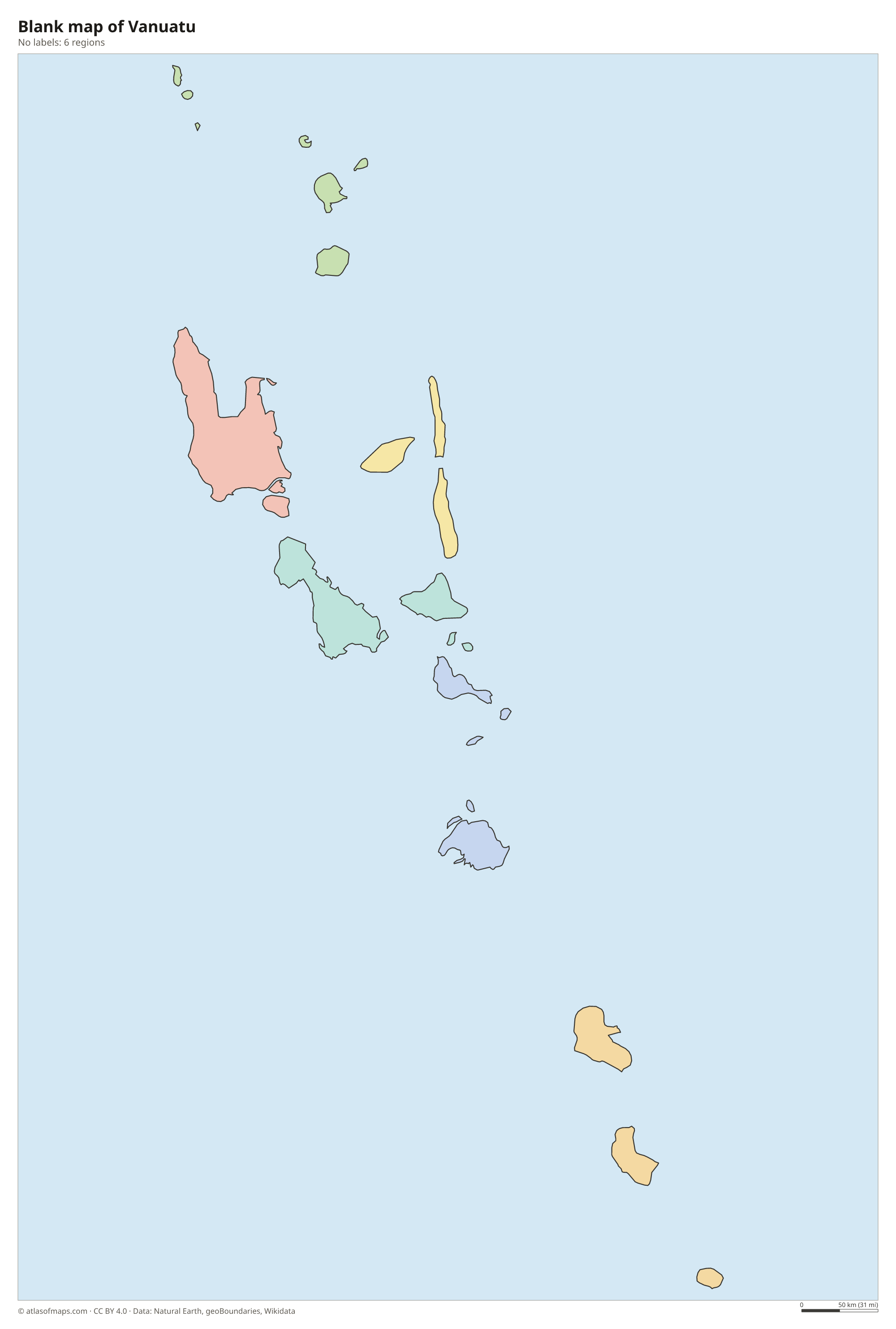
Vanuatu is divided into 6 provinces: Torba, Sanma, Penama, Malampa, Shefa and Tafea, from north to south. Their names are formed from the first letters of the main islands in each group; Tafea, for example, combines Tanna, Aniwa, Futuna, Erromango and Aneityum.
| Region | Capital | Population | Area |
|---|---|---|---|
| Malampa | Lakatoro | 36,727 | 2,779 km² (1,073 sq mi) |
| Penama | Saratamata | — | 1,198 km² (463 sq mi) |
| Sanma | Luganville | — | 4,248 km² (1,640 sq mi) |
| Shefa | Port Vila | — | 1,455 km² (562 sq mi) |
| Tafea | Isangel | 32,540 | 1,628 km² (629 sq mi) |
| Torba | Sola | — | 882 km² (341 sq mi) |
Population from Wikidata (latest figure available for each region).
Blank and coloring maps of Vanuatu
Blank map of Vanuatu

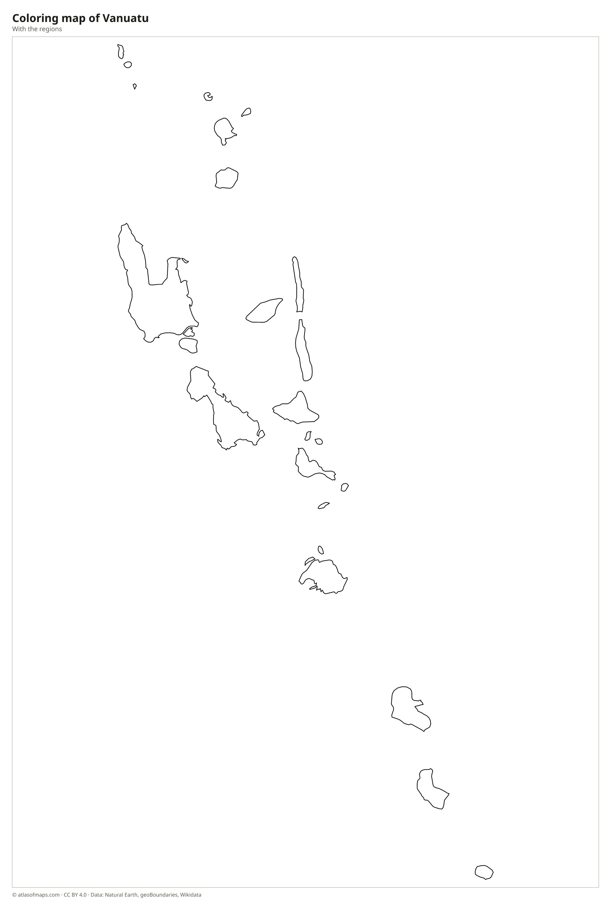
Coloring map of Vanuatu

Geography of Vanuatu
Vanuatu is made up of about 80 islands arranged roughly in the shape of a Y, with a total land area of about 12,190 km² (4,707 sq mi). Most of the islands are volcanic and mountainous, covered in tropical forest, and many are fringed with coral reefs. Espiritu Santo is the largest island, and its Mount Tabwemasana is the highest point at 1,879 m (6,165 ft). Other large islands include Malakula, Efate, where the capital Port Vila lies, Erromango and Tanna.
Vanuatu sits on the Pacific Ring of Fire, above the zone where the Australian Plate sinks beneath the Pacific Plate, so earthquakes and eruptions are common. Several volcanoes are active, including Mount Yasur on Tanna, which has erupted almost continuously for centuries, and the volcanoes of Ambrym and Ambae. The islands have few large rivers but many short streams and waterfalls. The climate is tropical, hot and wet in the north and slightly cooler in the south, with a cyclone season from about November to April.
Fun facts
- Before independence in 1980, Vanuatu was called the New Hebrides and was ruled jointly by Britain and France.
- Bungee jumping is thought to come from the land diving ritual of Pentecost Island, where men leap from tall wooden towers with vines tied to their ankles.
- Visitors can walk up to the crater rim of Mount Yasur on Tanna and watch it erupt.
Flag of Vanuatu
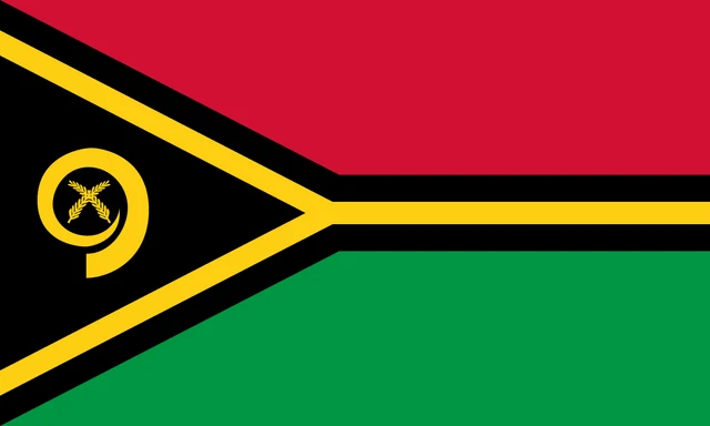
The flag of Vanuatu has a red band on top and a green band below, divided by a horizontal yellow Y shape edged in black. The Y opens from a black triangle at the hoist, which holds a yellow curled boar's tusk with two crossed namele leaves inside it.
Frequently asked questions
What is the capital of Vanuatu?
The capital of Vanuatu is Port Vila, on the southwest coast of Efate island. It is the largest town and the country's main port and business center.
How many provinces does Vanuatu have?
Vanuatu has 6 provinces: Torba, Sanma, Penama, Malampa, Shefa and Tafea. Sanma, which includes Espiritu Santo, is the largest by land area.
How many islands does Vanuatu have?
Vanuatu has about 80 islands, of which around 65 are inhabited. The largest are Espiritu Santo, Malakula, Efate, Erromango and Tanna.
What countries border Vanuatu?
Vanuatu has no land borders with other countries: all its borders are at sea.
What language is spoken in Vanuatu?
The official languages are Bislama, French, and English.
Can I print the map of Vanuatu?
Yes. Every map on this page can be downloaded for free as PNG or PDF (US Letter) and printed, including the blank map and the coloring map. Please credit the source (Atlas of Maps, CC BY 4.0).
Use this map
You can download, print and share this map for free, in class, in school projects, in presentations and on websites, as long as you credit the source: Map of Vanuatu · Atlas of Maps (atlasofmaps.com), license CC BY 4.0.
See also: Map of Oceania · World map