Map of Myanmar with states and regions and capitals
Myanmar, also known as Burma, is a country in Southeast Asia on the Bay of Bengal and the Andaman Sea. It borders Bangladesh and India to the west, China to the north and northeast, and Laos and Thailand to the east. The political map shows its 14 states and regions, the capital, Naypyidaw, and major cities.

- Capital
- Naypyidaw
- Population
- 53.4 million (2017)
- Area
- 676,577 km² (261,228 sq mi)
- Population density
- 79 per km² (204 per sq mi)
- Official language
- Burmese
- Currency
- kyat
- Demonym
- Burmese
- States and Regions
- 14
- Highest point
- Hkakabo Razi (5,881 m (19,295 ft))
- Calling code
- +95
- Internet domain
- .mm
- Official name
- Republic of the Union of Myanmar
- Also known as
- Burma
Where is Myanmar?
Myanmar, also known as Burma, is a country in Southeast Asia on the Bay of Bengal and the Andaman Sea. It borders Bangladesh and India to the west, China to the north and northeast, and Laos and Thailand to the east.
Neighboring countries: Bangladesh, China, India, Laos, Thailand.

States and Regions of Myanmar and their capitals
Myanmar is divided into 7 states and 7 regions, the 14 units shown on the map. The states, such as Shan and Kachin, are named after major ethnic groups, while the regions, such as Yangon and Mandalay, cover the central lowlands. The capital, Naypyidaw, is a separate union territory.
| State | Capital | Population | Area |
|---|---|---|---|
| Ayeyarwady | Pathein | 5,546,281 | 35,032 km² (13,526 sq mi) |
| Bago | Bago | 4,453,691 | 39,404 km² (15,214 sq mi) |
| Chin State | Hakha | 373,024 | 36,019 km² (13,907 sq mi) |
| Kachin State | Myitkyina | 2,197,283 | 89,041 km² (34,379 sq mi) |
| Kayah State | Loikaw | 296,903 | 11,732 km² (4,530 sq mi) |
| Kayin State | Hpa-An | 1,490,968 | 30,383 km² (11,731 sq mi) |
| Magway | Magway | 4,078,504 | 44,821 km² (17,305 sq mi) |
| Mandalay | Mandalay | 6,283,663 | 30,888 km² (11,926 sq mi) |
| Mon State | Mawlamyine | 1,717,166 | 12,297 km² (4,748 sq mi) |
| Rakhine State | Sittwe | 2,466,385 | 36,778 km² (14,200 sq mi) |
| Sagaing | Sagaing | 6,015,590 | 93,702 km² (36,179 sq mi) |
| Shan State | Taunggyi | 6,517,377 | 155,801 km² (60,155 sq mi) |
| Tanintharyi | Dawei | 1,380,567 | 43,345 km² (16,736 sq mi) |
| Yangon | Yangon | 7,370,010 | 10,277 km² (3,968 sq mi) |
Population from Wikidata (latest figure available for each state).
Blank and coloring maps of Myanmar
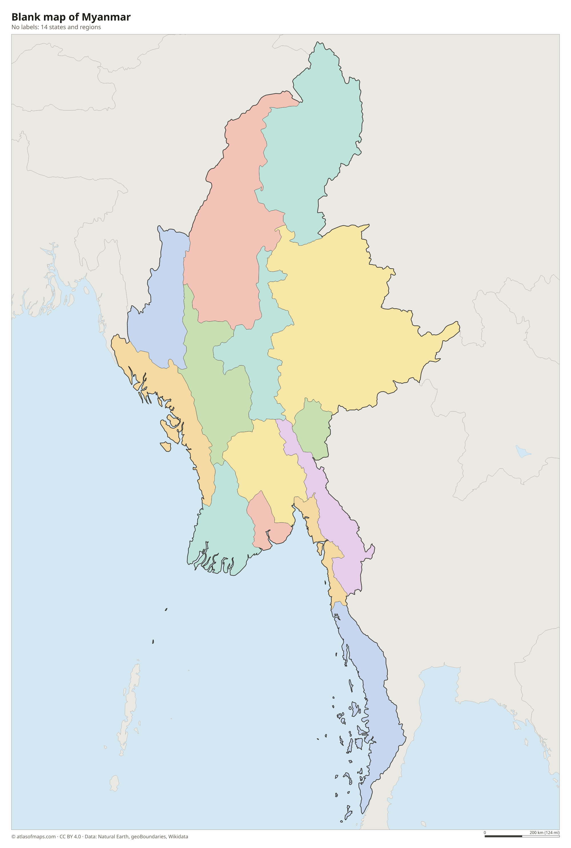
Blank map of Myanmar

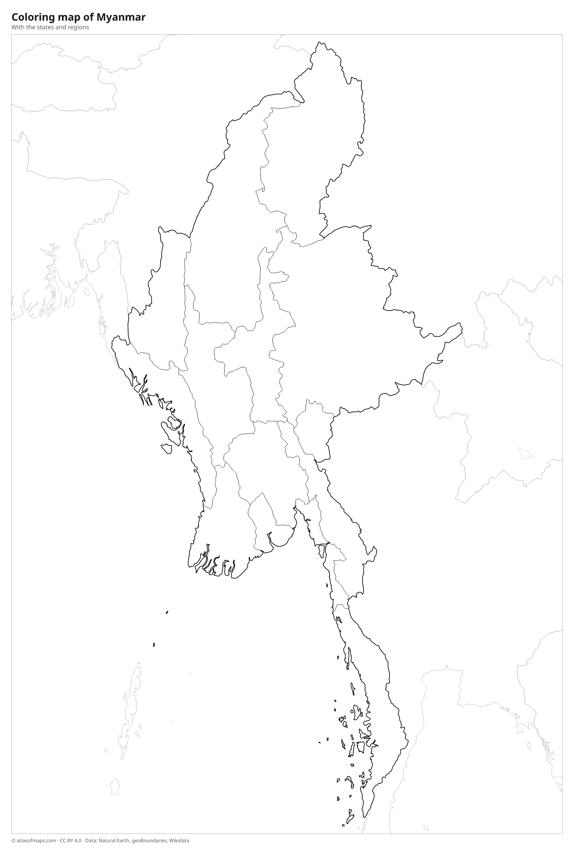
Coloring map of Myanmar

Geography of Myanmar
Myanmar covers 676,577 km² (261,228 sq mi), making it the largest country in mainland Southeast Asia. Mountains form a horseshoe around the country: the Arakan Mountains (Rakhine Yoma) in the west, the Himalayan foothills in the far north and the high Shan Plateau in the east. In the northern state of Kachin, Hkakabo Razi rises to 5,881 m (19,295 ft). The center is a broad lowland, including the dry zone around Mandalay, and a long, narrow strip of land, Tanintharyi, runs south along the Thai border.
The Irrawaddy (Ayeyarwady) River runs from north to south through the heart of the country, past Mandalay, and ends in a wide, fertile delta west of Yangon that is a major rice-growing area. Its tributary, the Chindwin, drains the northwest, and the Salween crosses the Shan Plateau in the east. Inle Lake, with its floating gardens, lies on the plateau. The climate is tropical monsoon, with heavy rain from about May to October, especially on the coasts, and a hot, dry season before it.
Fun facts
- Hkakabo Razi, near the border with China, is considered the highest mountain in Southeast Asia.
- The ancient city of Bagan, on the Irrawaddy, has more than 2,000 Buddhist temples and pagodas spread across a dry plain.
- Myanmar has 53,370,609 people (2017), most of them living in the Irrawaddy valley and delta.
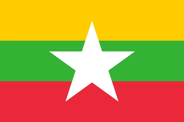
Flag of Myanmar
The flag of Myanmar has three equal horizontal bands of yellow, green and red, from top to bottom. A large white five-pointed star sits in the center, spanning parts of all three bands, and there is no other emblem. The flag has a 2:3 ratio.
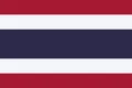
Countries bordering Myanmar

Frequently asked questions
What countries border Myanmar?
Myanmar borders five countries: Bangladesh and India to the west, China to the north and northeast, and Laos and Thailand to the east and southeast.
How many states does Myanmar have?
Myanmar has 7 states and 7 regions, 14 units in all. The capital, Naypyidaw, forms a separate union territory.
What is the capital of Myanmar?
Naypyidaw has been the capital since the mid-2000s, when the government moved there from Yangon. Yangon, formerly Rangoon, remains the largest city and main port.
What language is spoken in Myanmar?
The official language is Burmese.
Can I print the map of Myanmar?
Yes. Every map on this page can be downloaded for free as PNG or PDF (US Letter) and printed, including the blank map and the coloring map. Please credit the source (Atlas of Maps, CC BY 4.0).
Use this map
You can download, print and share this map for free, in class, in school projects, in presentations and on websites, as long as you credit the source: Map of Myanmar · Atlas of Maps (atlasofmaps.com), license CC BY 4.0.
See also: Map of Asia · Map of Southeast Asia · World map