Map of Belize with regions and capitals
Belize is a small country in Central America, at the base of the Yucatán Peninsula. It borders Mexico to the north and Guatemala to the west and south, and faces the Caribbean Sea to the east. The political map shows its 6 regions, the capital, Belmopan, and major cities.

- Capital
- Belmopan
- Population
- 411,106 (2023)
- Area
- 22,966 km² (8,867 sq mi)
- Population density
- 18 per km² (46 per sq mi)
- Official language
- English
- Currency
- Belize dollar
- Demonym
- Belizean
- Regions
- 6
- Highest point
- Doyle's Delight (1,124 m (3,688 ft))
- Calling code
- +501
- Internet domain
- .bz
Where is Belize?
Belize is a small country in Central America, at the base of the Yucatán Peninsula. It borders Mexico to the north and Guatemala to the west and south, and faces the Caribbean Sea to the east.

Regions of Belize and their capitals
Belize is divided into 6 districts: Corozal and Orange Walk in the north, Belize and Cayo in the center, and Stann Creek and Toledo in the south. The capital, Belmopan, lies in Cayo District, while Belize City, the largest city, is in Belize District.
| Region | Capital | Population | Area |
|---|---|---|---|
| Belize | Belize City | 113,630 | 4,204 km² (1,623 sq mi) |
| Cayo | San Ignacio | 99,105 | 5,338 km² (2,061 sq mi) |
| Corozal | Corozal | 45,310 | 1,860 km² (718 sq mi) |
| Orange Walk | Orange Walk Town | 54,152 | 4,737 km² (1,829 sq mi) |
| Stann Creek | Dangriga | 46,342 | 2,176 km² (840 sq mi) |
| Toledo | Punta Gorda | 38,944 | 4,649 km² (1,795 sq mi) |
Population from Wikidata (latest figure available for each region).
Blank and coloring maps of Belize
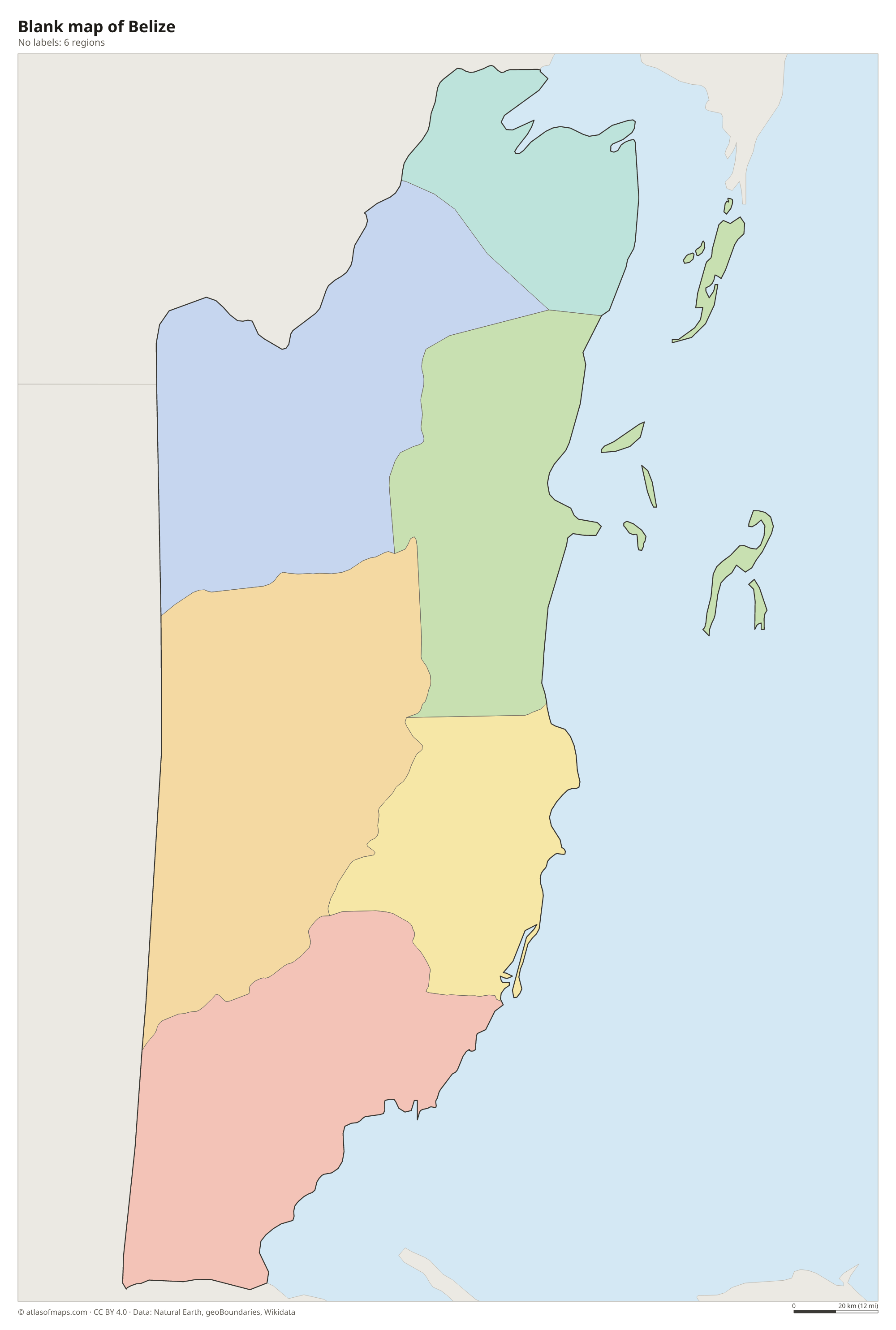
Blank map of Belize

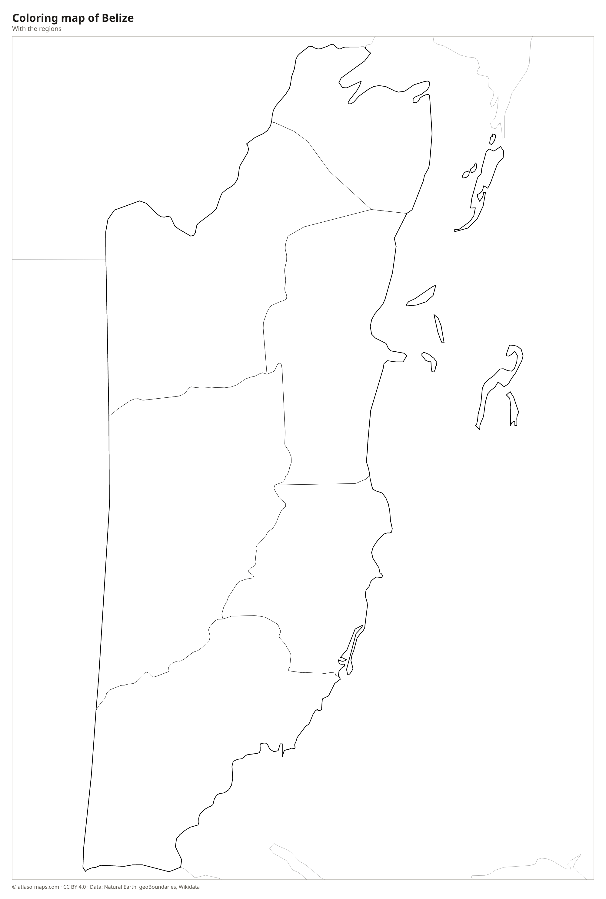
Coloring map of Belize

Geography of Belize
Belize covers 22,966 km² (8,867 sq mi). The north is low and flat, with swamps, lagoons and farmland, while the south is dominated by the Maya Mountains. The highest point, Doyle's Delight, reaches 1,124 m (3,688 ft) in this range, slightly higher than the better-known Victoria Peak. Dense tropical forest covers much of the interior, and the Cockscomb Basin in the Maya Mountains is a protected reserve for jaguars. Offshore, hundreds of small islands called cayes rise from the sea, including Ambergris Caye and Caye Caulker.
The Belize Barrier Reef, part of the larger Mesoamerican Reef, runs along almost the entire coast and is the second-largest barrier reef in the world. Beyond it lie atolls such as Lighthouse Reef, home to the Great Blue Hole. The Belize River flows from the Guatemalan border to the sea near Belize City, the Hondo River forms the border with Mexico, and the Sarstoon marks the southern border with Guatemala. The climate is tropical, with a rainy season and a hurricane risk from June to November. About 411,000 people (2023) live in Belize.
Fun facts
- The Great Blue Hole, a nearly circular marine sinkhole about 300 m (1,000 ft) across, lies in the Lighthouse Reef atoll.
- Belmopan replaced Belize City as the capital in 1970, after Hurricane Hattie badly damaged the coast in 1961.
- Caracol, in the Maya Mountains, is the largest known ancient Maya site in Belize.
Flag of Belize
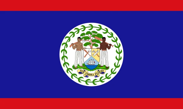
The flag of Belize is royal blue with a narrow red stripe along the top and bottom edges. In the center is a white disc holding the national coat of arms: two woodcutters stand beside a shield showing tools and a sailing ship, with a mahogany tree behind and the motto Sub Umbra Floreo below. A ring of 50 green leaves surrounds the arms.
Countries bordering Belize
Frequently asked questions
What countries border Belize?
Belize borders Mexico to the north and Guatemala to the west and south. Guatemala has a long-standing territorial claim to part of Belize, which the two countries have taken to the International Court of Justice.
How many districts does Belize have?
Belize has 6 districts: Belize, Cayo, Corozal, Orange Walk, Stann Creek and Toledo. Cayo, in the west, contains the capital, Belmopan.
What language is spoken in Belize?
English is the official language of Belize, the only Central American country where this is so. Spanish and Belizean Creole are also widely spoken.
What is the capital of Belize?
The capital of Belize is Belmopan.
How many regions does Belize have?
Belize is divided into 6 regions: Belize, Cayo, Corozal, Orange Walk, Stann Creek, and Toledo.
Can I print the map of Belize?
Yes. Every map on this page can be downloaded for free as PNG or PDF (US Letter) and printed, including the blank map and the coloring map. Please credit the source (Atlas of Maps, CC BY 4.0).
Use this map
You can download, print and share this map for free, in class, in school projects, in presentations and on websites, as long as you credit the source: Map of Belize · Atlas of Maps (atlasofmaps.com), license CC BY 4.0.
See also: Map of North America · Map of Central America · World map