Map of Guatemala with departments and capitals
Guatemala is a country in Central America, the southern part of North America. It borders Mexico to the north and west, Belize to the northeast and Honduras and El Salvador to the southeast, with coasts on the Pacific Ocean and on the Caribbean Sea's Gulf of Honduras. The political map shows its 22 departments, the capital, Guatemala City, and major cities.

- Capital
- Guatemala City
- Population
- 17.3 million (2018)
- Area
- 108,889 km² (42,042 sq mi)
- Population density
- 159 per km² (411 per sq mi)
- Official language
- Spanish
- Currency
- quetzal
- Demonym
- Guatemalan
- Departments
- 22
- Highest point
- Volcán Tajumulco (4,203 m (13,789 ft))
- Calling code
- +502
- Internet domain
- .gt
Where is Guatemala?
Guatemala is a country in Central America, the southern part of North America. It borders Mexico to the north and west, Belize to the northeast and Honduras and El Salvador to the southeast, with coasts on the Pacific Ocean and on the Caribbean Sea's Gulf of Honduras.
Neighboring countries: Belize, Honduras, Mexico, El Salvador.

Departments of Guatemala and their capitals
Guatemala is divided into 22 departments, each subdivided into municipalities. Petén in the north is by far the largest by area, while the Guatemala department contains the capital, Guatemala City.
| Department | Capital | Population | Area |
|---|---|---|---|
| Alta Verapaz | Cobán | 1,355,134 | 8,686 km² (3,354 sq mi) |
| Baja Verapaz | Salamá | 299,476 | 3,124 km² (1,206 sq mi) |
| Chimaltenango | Chimaltenango | 615,776 | 1,979 km² (764 sq mi) |
| Chiquimula | Chiquimula | 415,063 | 2,376 km² (917 sq mi) |
| El Progreso | Guastatoya | 176,632 | 1,922 km² (742 sq mi) |
| Escuintla | Escuintla | 733,181 | 4,384 km² (1,693 sq mi) |
| Guatemala | Guatemala City | 3,015,081 | 2,253 km² (870 sq mi) |
| Huehuetenango | Huehuetenango | 1,170,669 | 7,403 km² (2,858 sq mi) |
| Izabal | Puerto Barrios | 408,688 | 9,038 km² (3,490 sq mi) |
| Jalapa | Jalapa | 342,923 | 2,063 km² (797 sq mi) |
| Jutiapa | Jutiapa | 488,395 | 3,216 km² (1,242 sq mi) |
| Petén | Flores | 622,409 | 35,854 km² (13,843 sq mi) |
| Quetzaltenango | Quetzaltenango | 799,101 | 1,953 km² (754 sq mi) |
| Quiché | Santa Cruz del Quiché | 1,081,964 | 8,378 km² (3,235 sq mi) |
| Retalhuleu | Retalhuleu | 326,828 | 1,856 km² (717 sq mi) |
| Sacatepéquez | Antigua Guatemala | 330,469 | 465 km² (180 sq mi) |
| San Marcos | San Marcos | 1,032,277 | 3,791 km² (1,464 sq mi) |
| Santa Rosa | Cuilapa | 396,607 | 2,295 km² (886 sq mi) |
| Sololá | Sololá | 421,583 | 1,061 km² (410 sq mi) |
| Suchitepéquez | Mazatenango | 554,695 | 2,510 km² (969 sq mi) |
| Totonicapán | Totonicapán | 418,569 | 1,061 km² (410 sq mi) |
| Zacapa | Zacapa | 245,374 | 2,690 km² (1,039 sq mi) |
Population from Wikidata (latest figure available for each department).
Blank and coloring maps of Guatemala
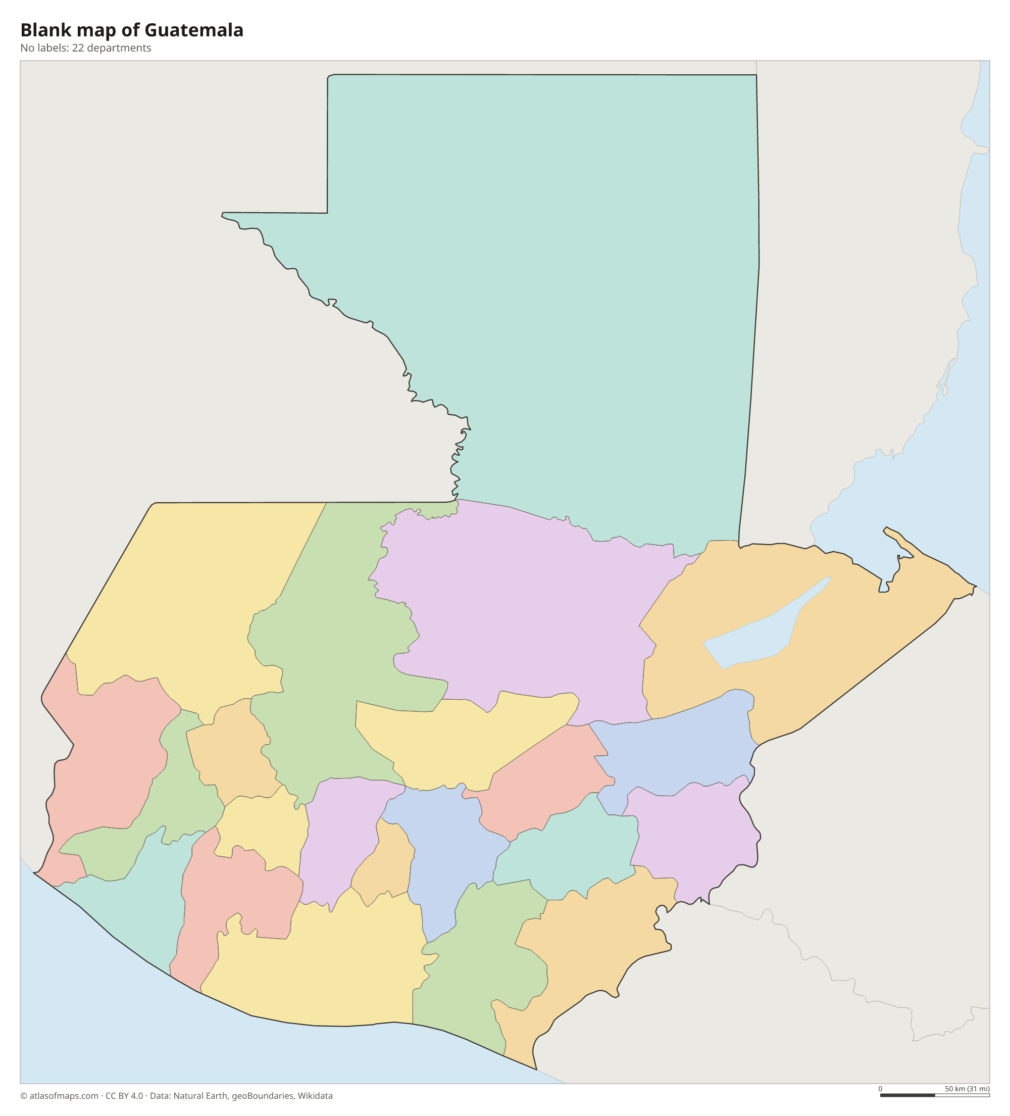
Blank map of Guatemala

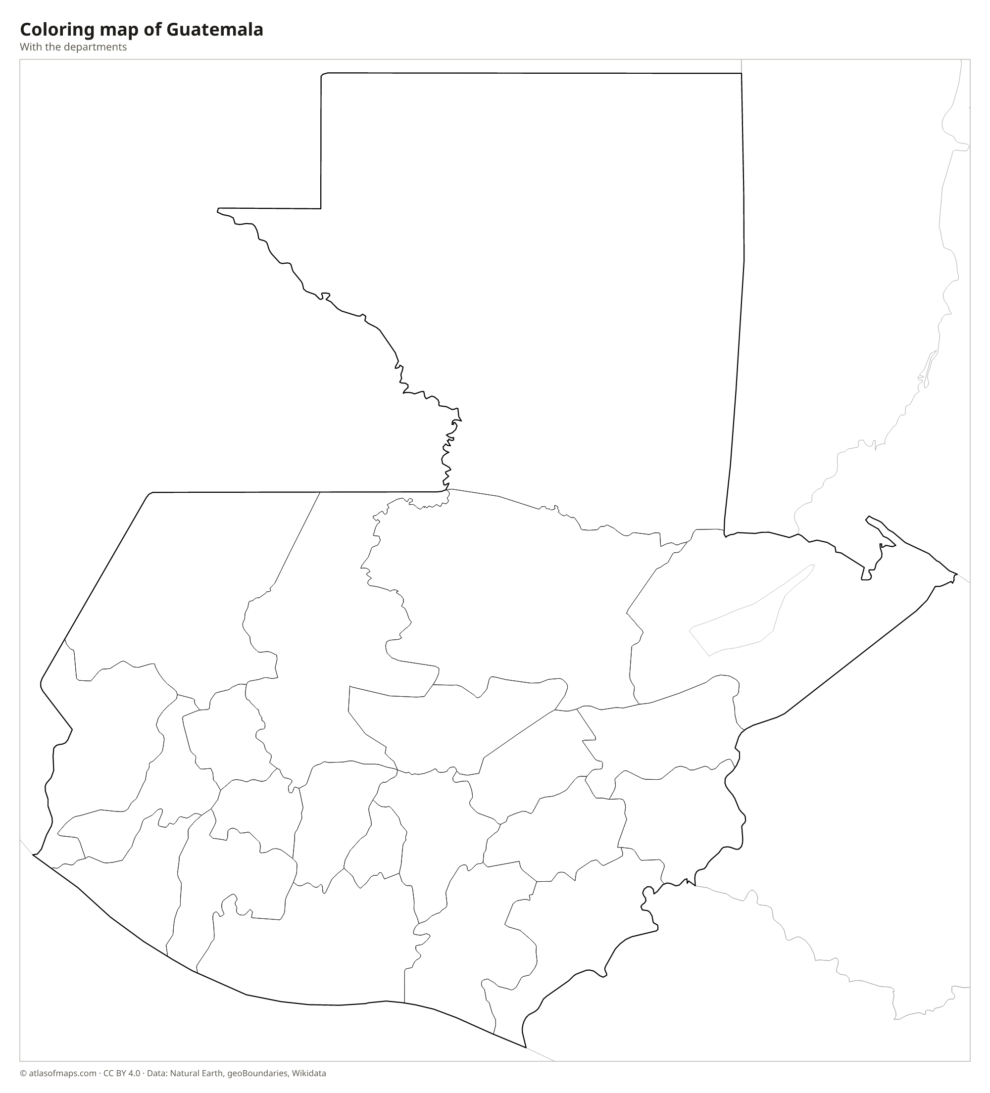
Coloring map of Guatemala

Geography of Guatemala
Guatemala covers 108,889 km² (42,042 sq mi) and has three main landscapes. Along the Pacific side runs a chain of volcanoes, including active ones such as Fuego, Pacaya and Santa María, and Volcán Tajumulco near the Mexican border is the highest point in Central America at 4,203 m (13,789 ft). Behind the volcanoes lie the central highlands, cut by deep valleys and the limestone Sierra de los Cuchumatanes. In the north, the Petén is a huge, low plain of tropical forest, home to Maya ruins such as Tikal.
The Usumacinta River forms part of the border with Mexico, and the Motagua flows east to the Caribbean. Lake Izabal near the Caribbean coast is the largest lake, while Lake Atitlán in the highlands fills a volcanic caldera ringed by volcanoes. Lake Petén Itzá lies in the northern lowlands. The Pacific coast is lined with black volcanic sand, and the short Caribbean coast is hot and humid. Climate depends mainly on altitude: the lowlands are hot all year, while highland cities such as Guatemala City enjoy mild weather.
Fun facts
- Guatemala's currency, the quetzal, is named after the colorful national bird.
- Tikal, in the Petén forest, was one of the largest cities of the ancient Maya.
- Lake Atitlán is surrounded by three volcanoes: Atitlán, Tolimán and San Pedro.
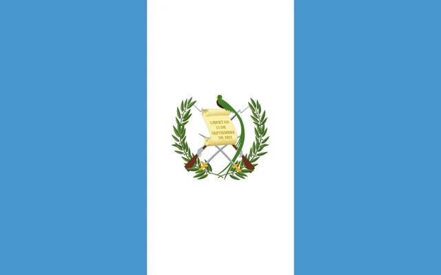
Flag of Guatemala
The flag of Guatemala has three equal vertical stripes: sky blue, white and sky blue. In the center of the white stripe is the coat of arms, showing a resplendent quetzal perched on a scroll with the date of independence, September 15, 1821. Behind it are two crossed rifles and two crossed swords, all framed by a laurel wreath.
Countries bordering Guatemala
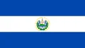
Frequently asked questions
What countries border Guatemala?
Guatemala borders four countries: Mexico to the north and west, Belize to the northeast, Honduras to the east and El Salvador to the southeast.
How many departments does Guatemala have?
Guatemala has 22 departments. The largest is Petén in the north, and the most populous is the Guatemala department, which includes the capital, Guatemala City.
Is Guatemala in Central America or South America?
Guatemala is in Central America, the narrow land bridge that forms the southern part of the North American continent. It lies directly south of Mexico, well north of South America.
What is the capital of Guatemala?
The capital of Guatemala is Guatemala City.
What language is spoken in Guatemala?
The official language is Spanish.
Can I print the map of Guatemala?
Yes. Every map on this page can be downloaded for free as PNG or PDF (US Letter) and printed, including the blank map and the coloring map. Please credit the source (Atlas of Maps, CC BY 4.0).
Use this map
You can download, print and share this map for free, in class, in school projects, in presentations and on websites, as long as you credit the source: Map of Guatemala · Atlas of Maps (atlasofmaps.com), license CC BY 4.0.
See also: Map of North America · Map of Central America · Map of Latin America · World map