Map of Bermuda with regions and capitals
Bermuda is a British Overseas Territory in the North Atlantic Ocean, about 1,000 km (620 mi) east of the coast of North Carolina in the United States. It is a small group of islands with no land borders and is not part of the Caribbean. The political map shows its 11 regions, the capital, Hamilton, and major cities.
British Overseas Territory.

- Capital
- Hamilton
- Population
- 65,024 (2013)
- Area
- 53 km² (20 sq mi)
- Population density
- 1,227 per km² (3,178 per sq mi)
- Official language
- English
- Currency
- Bermudian dollar
- Demonym
- Bermudian
- Regions
- 11
- Calling code
- +1441
- Internet domain
- .bm
Where is Bermuda?
Bermuda is a British Overseas Territory in the North Atlantic Ocean, about 1,000 km (620 mi) east of the coast of North Carolina in the United States. It is a small group of islands with no land borders and is not part of the Caribbean.

Regions of Bermuda
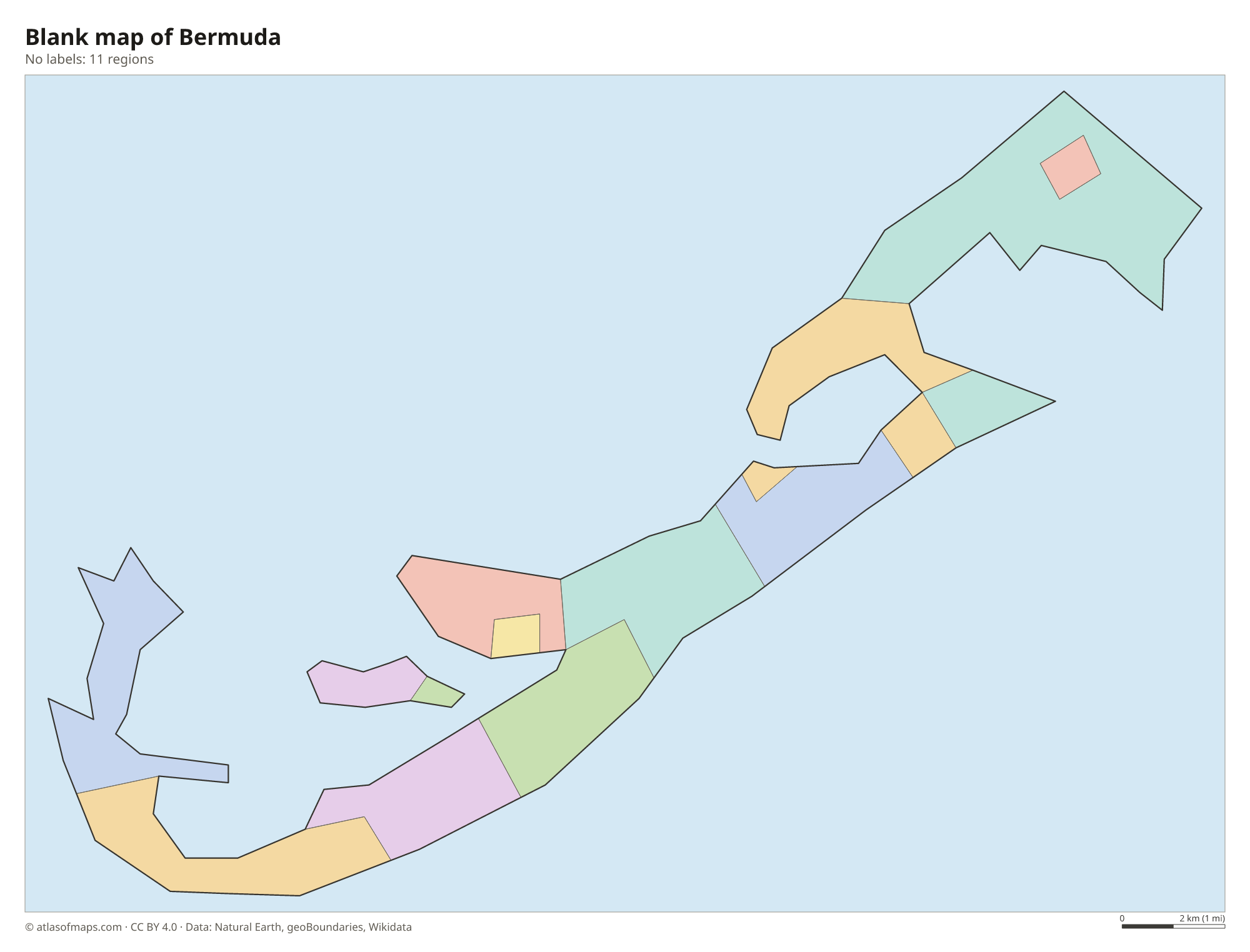
Bermuda is divided into 9 parishes and 2 municipalities, the City of Hamilton and the Town of St. George, shown as 11 units on the map. The capital, the City of Hamilton, lies in Pembroke Parish, not in the separate Hamilton Parish.
| Region |
|---|
| City of Hamilton |
| Devonshire |
| Hamilton |
| Paget Parish |
| Pembroke Parish |
| Saint George |
| Sandys Parish |
| Smith's Parish |
| Southampton |
| St. George |
| Warwick |
Blank and coloring maps of Bermuda
Blank map of Bermuda

Coloring map of Bermuda

Geography of Bermuda
Bermuda covers just 53 km² (20 sq mi) on a hook-shaped chain of small islands. They sit on the rim of an ancient volcanic seamount, capped by layers of limestone built up from coral and shells. The main islands are linked by bridges and causeways, and Main Island, often called Grand Bermuda, is the largest. The land is low and hilly, with no mountains; the highest ground is around Town Hill, a low ridge in Smith's Parish.
Bermuda has no rivers or freshwater lakes. Homes collect rainwater on white, stepped limestone roofs and store it in tanks below the house. Coral reefs surround the islands and are among the northernmost in the Atlantic, kept alive by the warm Gulf Stream. The same current gives Bermuda a mild, subtropical climate, though hurricanes sometimes pass in late summer and fall. Beaches such as Horseshoe Bay are known for pink sand, colored by the shells of tiny red organisms. About 65,000 people lived in Bermuda in 2013.
Fun facts
- The nearest mainland to Bermuda is Cape Hatteras in North Carolina.
- The Historic Town of St. George, founded in 1612, is a UNESCO World Heritage Site and one of the oldest English towns in the Americas.
- The reefs around Bermuda have caused many shipwrecks over the centuries, and several of the wrecks are now popular diving sites.
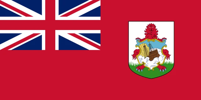
Flag of Bermuda
The flag of Bermuda is a red ensign: a red field with the Union Jack in the upper left corner and the Bermuda coat of arms in the fly. The arms show a red lion holding a shield with a picture of a sailing ship wrecked on rocks.
Frequently asked questions
Is Bermuda in the Caribbean?
No. Bermuda lies in the North Atlantic Ocean, far north of the Caribbean Sea, at about the same latitude as Charleston, South Carolina. It is often confused with Caribbean islands because of its warm climate.
Is Bermuda a country?
Bermuda is a British Overseas Territory, not an independent country. It governs itself in most matters, while the United Kingdom is responsible for defense and foreign relations.
How many parishes does Bermuda have?
Bermuda has 9 parishes. The map also shows its 2 municipalities, the City of Hamilton and the Town of St. George, as separate units, which makes 11 in total.
What is the capital of Bermuda?
The capital of Bermuda is Hamilton.
What countries border Bermuda?
Bermuda has no land borders with other countries.
How many regions does Bermuda have?
Bermuda is divided into 11 regions: City of Hamilton, Devonshire, Hamilton, Paget Parish, Pembroke Parish, Saint George, Sandys Parish, Smith's Parish, Southampton, St. George, and Warwick.
What language is spoken in Bermuda?
The official language is English.
Can I print the map of Bermuda?
Yes. Every map on this page can be downloaded for free as PNG or PDF (US Letter) and printed, including the blank map and the coloring map. Please credit the source (Atlas of Maps, CC BY 4.0).
Use this map
You can download, print and share this map for free, in class, in school projects, in presentations and on websites, as long as you credit the source: Map of Bermuda · Atlas of Maps (atlasofmaps.com), license CC BY 4.0.
See also: Map of North America · World map