Map of Cuba with provinces and capitals
Cuba is an island country in the northern Caribbean, where the Caribbean Sea, the Gulf of Mexico and the Atlantic Ocean meet. It lies south of Florida, east of Mexico's Yucatán Peninsula, west of Haiti and north of Jamaica. The political map shows its 15 provinces and the special municipality of Isla de la Juventud, the capital, Havana, and major cities.

- Capital
- Havana
- Population
- 11 million (2023)
- Area
- 109,884 km² (42,426 sq mi)
- Population density
- 100 per km² (259 per sq mi)
- Official language
- Spanish
- Currency
- Cuban peso
- Demonym
- Cuban
- Divisions
- 15 provinces and the special municipality of Isla de la Juventud
- Highest point
- Pico Turquino (1,974 m (6,476 ft))
- Calling code
- +53
- Internet domain
- .cu
- Official name
- Republic of Cuba
Where is Cuba?
Cuba is an island country in the northern Caribbean, where the Caribbean Sea, the Gulf of Mexico and the Atlantic Ocean meet. It lies south of Florida, east of Mexico's Yucatán Peninsula, west of Haiti and north of Jamaica.

Provinces of Cuba and their capitals
Cuba is divided into 15 provinces and the special municipality of Isla de la Juventud, the large island off the southwest coast. The provinces of Artemisa and Mayabeque were created in 2011 from the former Havana province.
| Province | Capital | Population | Area |
|---|---|---|---|
| Artemisa | Artemisa | 512,819 | 4,004 km² (1,546 sq mi) |
| Camagüey | Camagüey | 756,064 | 15,386 km² (5,941 sq mi) |
| Ciego de Ávila | Ciego de Ávila | 422,576 | 6,947 km² (2,682 sq mi) |
| Cienfuegos | Cienfuegos | 405,481 | 4,187 km² (1,617 sq mi) |
| Granma | Bayamo | 835,675 | 8,377 km² (3,234 sq mi) |
| Guantánamo | Guantánamo | 510,863 | 6,164 km² (2,380 sq mi) |
| Havana | Havana | 2,492,618 | 728 km² (281 sq mi) |
| Holguín | Holguin | 1,037,161 | 9,210 km² (3,556 sq mi) |
| Isla de la Juventud | Nueva Gerona | 86,420 | 2,419 km² (934 sq mi) |
| Las Tunas | Las Tunas | 536,027 | 6,595 km² (2,546 sq mi) |
| Matanzas | Matanzas | 690,113 | 11,798 km² (4,555 sq mi) |
| Mayabeque | San José de las Lajas | 380,274 | 3,733 km² (1,441 sq mi) |
| Pinar del Río | Pinar del Río | 575,545 | 8,885 km² (3,431 sq mi) |
| Sancti Spíritus | Sancti Spíritus | 465,468 | 6,780 km² (2,618 sq mi) |
| Santiago de Cuba | Santiago de Cuba | 1,047,015 | 6,234 km² (2,407 sq mi) |
| Villa Clara | Santa Clara | 803,562 | 8,413 km² (3,248 sq mi) |
Population from Wikidata (latest figure available for each province).
Blank and coloring maps of Cuba
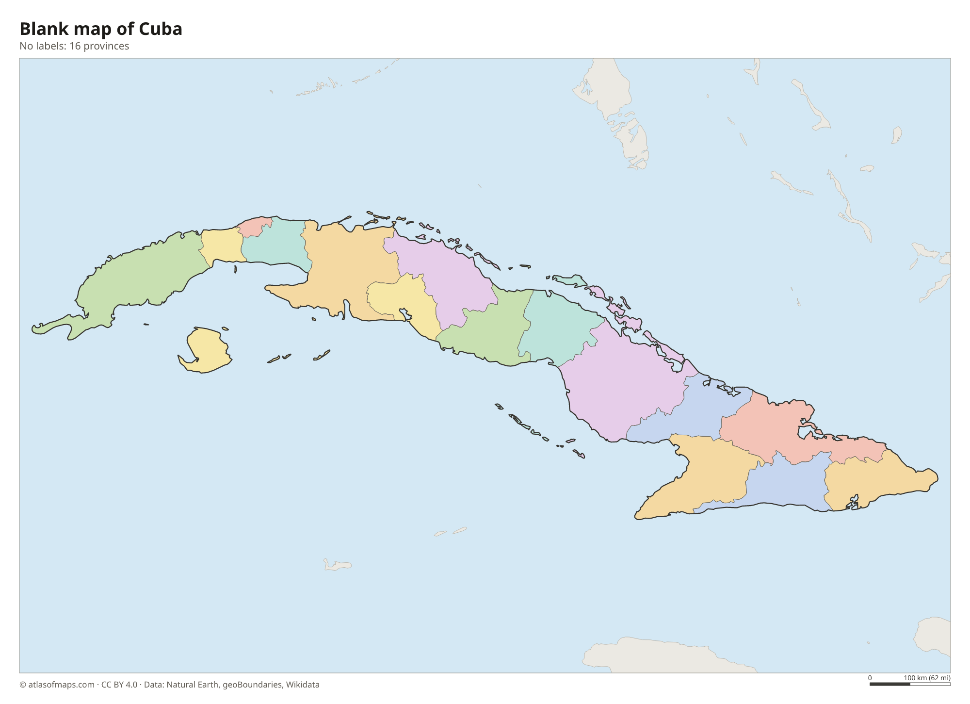
Blank map of Cuba

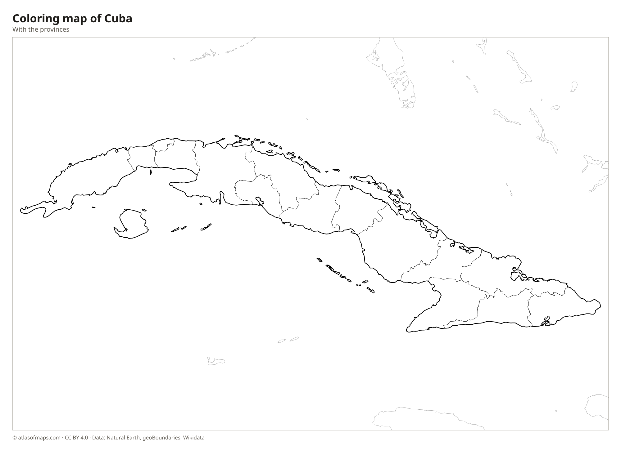
Coloring map of Cuba

Geography of Cuba
Cuba is the largest island in the Caribbean, long and narrow, stretching more than 1,200 km (750 mi) from west to east. The country covers 109,884 km² (42,426 sq mi), including Isla de la Juventud and thousands of small cays. Most of the land is flat or gently rolling plain. There are three main mountain areas: the Sierra de los Órganos in the west, the Sierra del Escambray in the center and the Sierra Maestra in the southeast, where Pico Turquino rises to 1,974 m (6,476 ft).
The coastline is fringed by coral reefs, mangroves and chains of small islands such as the Jardines del Rey on the north coast and the Jardines de la Reina in the south. Rivers are short; the Cauto in the east is the longest. Cuba has a tropical climate with a drier season from about November to April and a wet season from May to October, when hurricanes can strike. In the west, the Viñales Valley is known for its steep, rounded limestone hills called mogotes.
Fun facts
- Cuba lies only about 145 km (90 mi) south of Key West, Florida, across the Straits of Florida.
- The bee hummingbird, the smallest bird in the world, lives only in Cuba.
- Isla de la Juventud, Cuba's second-largest island, was known until the 1970s as the Isle of Pines.
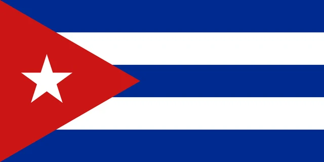
Flag of Cuba
The flag of Cuba has five horizontal stripes, three blue and two white, with blue at the top and bottom. A red equilateral triangle extends from the hoist side, and in its center is a single white five-pointed star. Like Chile's flag, it is known as La Estrella Solitaria (the Lone Star).
Frequently asked questions
What is the capital of Cuba?
The capital of Cuba is Havana, on the northwest coast facing the Straits of Florida. It is the country's largest city and its main port.
How many provinces does Cuba have?
Cuba has 15 provinces and one special municipality, Isla de la Juventud. The newest provinces, Artemisa and Mayabeque, were created in 2011 when the old Havana province was split.
How far is Cuba from Florida?
At the closest point, Cuba is about 145 km (90 mi) from Key West, Florida. The two are separated by the Straits of Florida, which link the Gulf of Mexico with the Atlantic Ocean.
What countries border Cuba?
Cuba has no land borders with other countries: all its borders are at sea.
What language is spoken in Cuba?
The official language is Spanish.
Can I print the map of Cuba?
Yes. Every map on this page can be downloaded for free as PNG or PDF (US Letter) and printed, including the blank map and the coloring map. Please credit the source (Atlas of Maps, CC BY 4.0).
Use this map
You can download, print and share this map for free, in class, in school projects, in presentations and on websites, as long as you credit the source: Map of Cuba · Atlas of Maps (atlasofmaps.com), license CC BY 4.0.
See also: Map of North America · Map of the Caribbean · Map of Latin America · World map