Map of Latin America with countries and capitals
Latin America is a cultural region, not a continent: it covers the countries of the Americas where Spanish, Portuguese or French is the main language, from the border between Mexico and the United States to Tierra del Fuego. It lies between the Pacific and Atlantic oceans and wraps around the Caribbean Sea. The map shows 20 countries plus Puerto Rico.

Latin America spans parts of both North and South America, so its landscapes vary widely. The Sierra Madre ranges and the volcanoes of central Mexico continue south through Central America, and the Andes run the length of South America. East of the Andes lie the Amazon rainforest, crossed by the Amazon River, the Pampas grasslands of Argentina and Uruguay and the dry plateaus of Patagonia, while the Atacama Desert lines the coast of northern Chile. The Caribbean islands of Cuba, Hispaniola (Haiti and the Dominican Republic) and Puerto Rico are mountainous. Most of the region is tropical, but the highlands are cool and the far south has temperate and even subpolar climates.
Latin America is usually described in four parts: Mexico, Central America, the Caribbean (Cuba, the Dominican Republic, Haiti and Puerto Rico) and South America. Spanish is the main language in 18 countries, Portuguese in Brazil, and French and Haitian Creole in Haiti. Brazil is the largest country at 8,515,767 km² (3,287,955 sq mi) and also the most populous; El Salvador, at 21,041 km² (8,124 sq mi), is the smallest. Mexico City, Buenos Aires, Lima, Bogotá and Santiago are among the largest capitals. Belize, Guyana and Suriname, where English or Dutch is official, are usually left out, as are the English-speaking Caribbean islands. French Guiana, part of France, is sometimes included, and Puerto Rico is a U.S. territory.
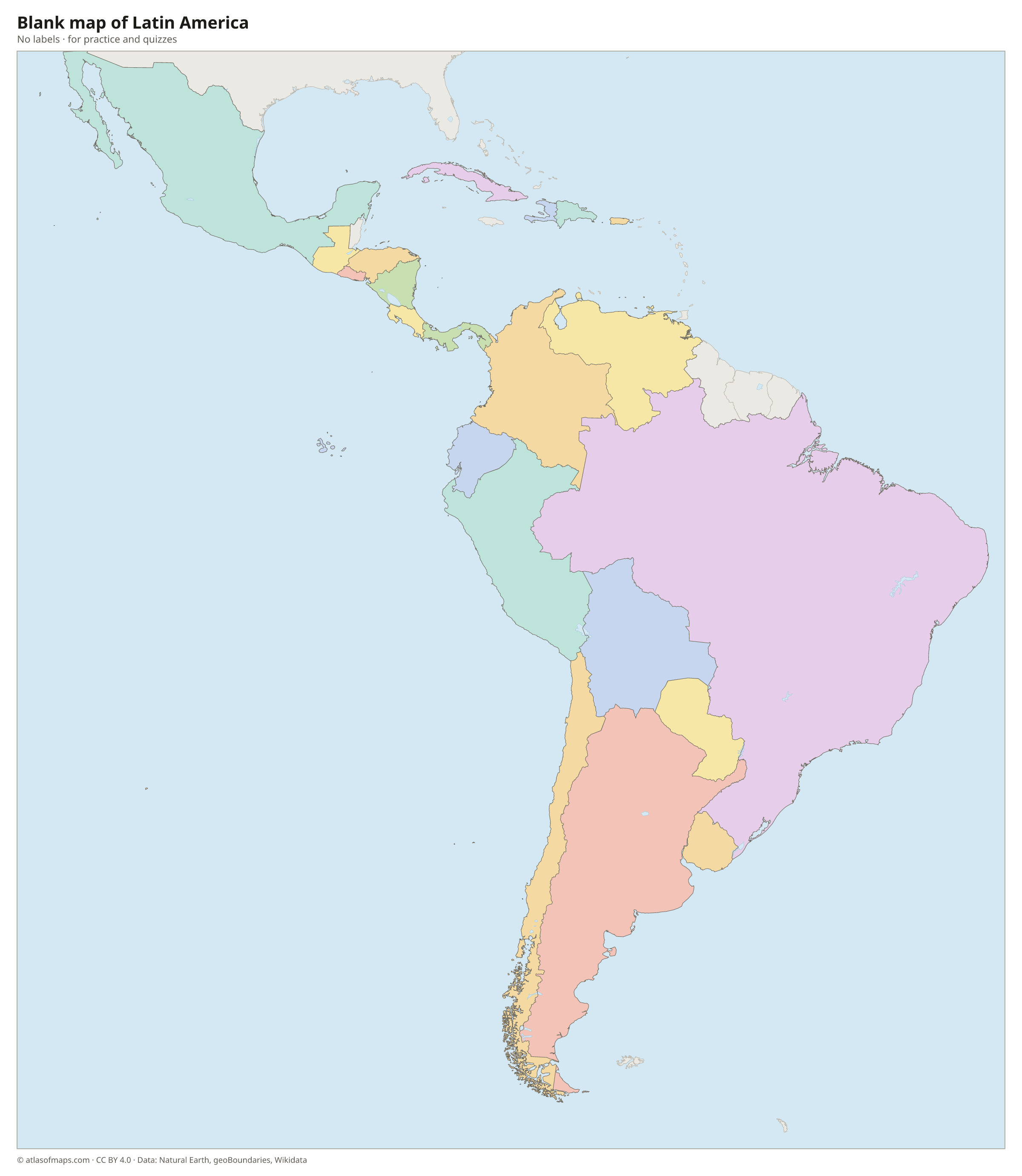
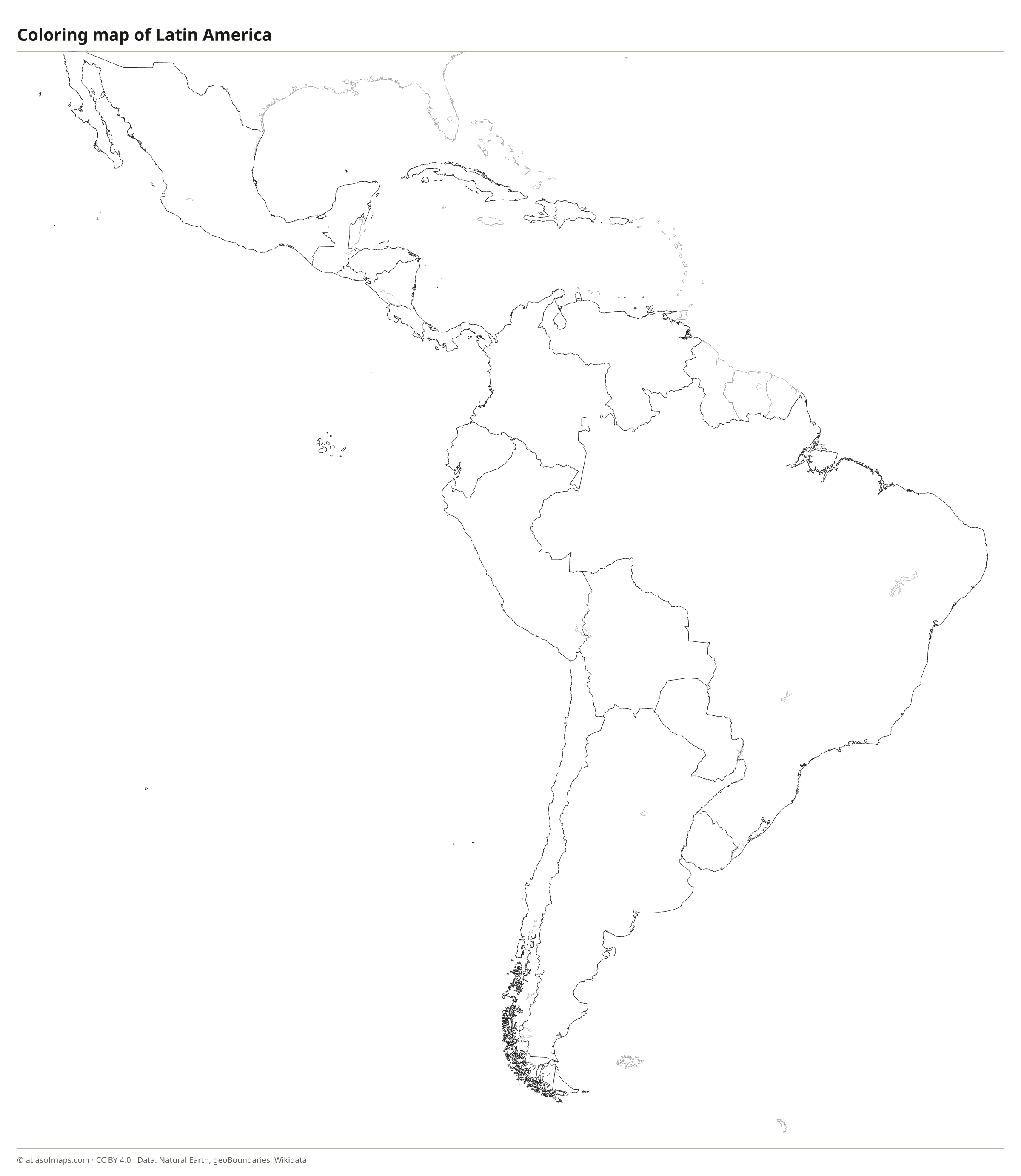
Blank and coloring maps of Latin America
Blank map of Latin America

Coloring map of Latin America

Countries of Latin America and their capitals
List of the countries of Latin America sorted by area and population →
| Country | Capital | Population | Area |
|---|---|---|---|
| Argentina | Buenos Aires | 47,327,407 | 2,780,400 km² (1,073,518 sq mi) |
| Bolivia | Sucre / La Paz | 12,244,159 | 1,098,581 km² (424,164 sq mi) |
| Brazil | Brasília | 214,211,951 | 8,515,767 km² (3,287,956 sq mi) |
| Chile | Santiago | 19,458,000 | 756,102 km² (291,933 sq mi) |
| Colombia | Bogotá | 52,321,152 | 1,141,748 km² (440,831 sq mi) |
| Costa Rica | San José | 5,265,575 | 51,180 km² (19,761 sq mi) |
| Cuba | Havana | 10,985,974 | 109,884 km² (42,426 sq mi) |
| Dominican Republic | Santo Domingo | 10,760,028 | 48,671 km² (18,792 sq mi) |
| Ecuador | Quito | 16,938,986 | 257,204 km² (99,307 sq mi) |
| El Salvador | San Salvador | 6,029,976 | 21,041 km² (8,124 sq mi) |
| Guatemala | Guatemala City | 17,263,239 | 108,889 km² (42,042 sq mi) |
| Haiti | Port-au-Prince | 10,981,229 | 27,750 km² (10,714 sq mi) |
| Honduras | Tegucigalpa | 8,303,771 | 112,492 km² (43,433 sq mi) |
| Mexico | Mexico City | 132,274,416 | 1,972,550 km² (761,606 sq mi) |
| Nicaragua | Managua | 5,142,098 | 120,340 km² (46,464 sq mi) |
| Panama | Panama City | 4,570,133 | 74,177 km² (28,640 sq mi) |
| Paraguay | Asunción | 6,811,297 | 406,756 km² (157,049 sq mi) |
| Peru | Lima | 34,157,732 | 1,285,216 km² (496,225 sq mi) |
| Puerto Rico (territory) | San Juan | 3,285,874 | 9,104 km² (3,515 sq mi) |
| Uruguay | Montevideo | 3,444,263 | 176,215 km² (68,037 sq mi) |
| Venezuela | Caracas | 31,250,306 | 912,050 km² (352,144 sq mi) |
Territories: Puerto Rico.
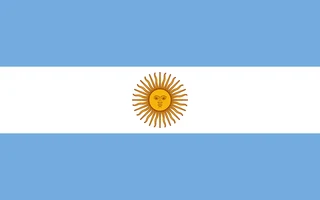
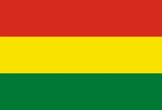
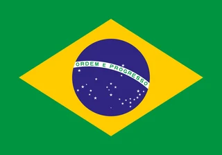
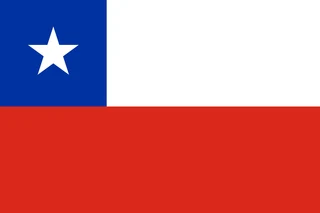
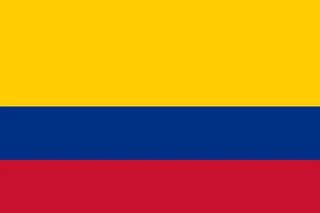
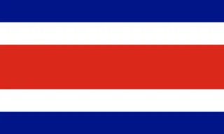
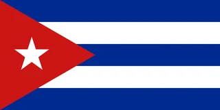
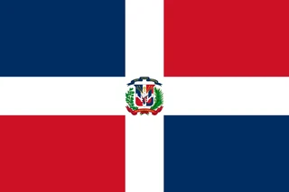
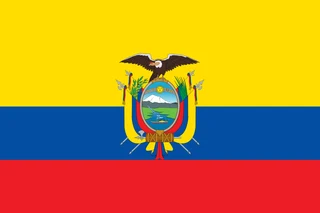
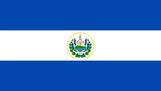
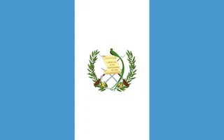
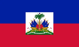
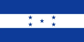
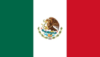
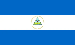
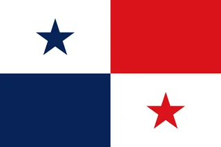
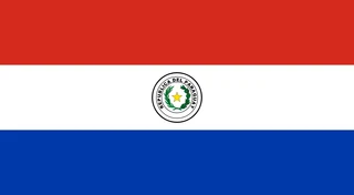
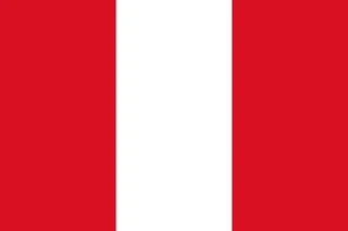
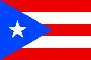
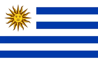
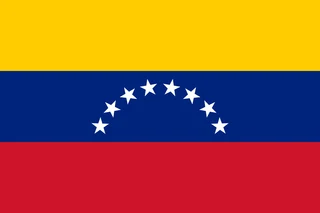
Flags of Latin America
Frequently asked questions
What countries are in Latin America?
This atlas counts 20 countries: Argentina, Bolivia, Brazil, Chile, Colombia, Costa Rica, Cuba, the Dominican Republic, Ecuador, El Salvador, Guatemala, Haiti, Honduras, Mexico, Nicaragua, Panama, Paraguay, Peru, Uruguay and Venezuela. Puerto Rico, a U.S. territory, is also shown.
Is Latin America a continent?
No. Latin America is a cultural and language region, not a continent. It includes Mexico and most of Central America, which belong to North America, several Caribbean islands and nearly all of South America.
What is the difference between Latin America and South America?
South America is a continent with 12 countries, including English-speaking Guyana and Dutch-speaking Suriname. Latin America is a cultural region of 20 countries where Spanish, Portuguese or French is spoken, and it also includes Mexico, Central America and parts of the Caribbean.
What is the largest country in Latin America?
By area, the largest country is Brazil, with 8,515,767 km² (3,287,956 sq mi).
What is the most populous country in Latin America?
Brazil, with about 214.2 million people.
What is the smallest country in Latin America?
El Salvador, with 21,041 km² (8,124 sq mi).
Where can I download a printable map of Latin America?
On this page: the political map, the blank map and the coloring map can be downloaded for free as PNG and PDF.
Use this map
You can download, print and share this map for free, in class, in school projects, in presentations and on websites, as long as you credit the source: Map of Latin America · Atlas of Maps (atlasofmaps.com), license CC BY 4.0.
More maps: Map of Europe · Map of Asia · Map of Africa · Map of Oceania · Map of North America · Map of South America · Map of Central America · Map of the Caribbean · Map of the Middle East · Map of the European Union · Map of Southeast Asia · World map