Map of East Timor
East Timor, also called Timor-Leste, is a country in Southeast Asia that occupies the eastern half of the island of Timor. Its only land neighbor is Indonesia, and the Timor Sea separates it from northern Australia to the south. The political map shows its regions, the capital, Dili, and major cities.

- Capital
- Dili
- Population
- 1.4 million (2024)
- Area
- 14,919 km² (5,760 sq mi)
- Population density
- 94 per km² (243 per sq mi)
- Official languages
- Portuguese and Tetum
- Currency
- United States dollar and East Timor centavo coins
- Demonym
- East Timorese
- Highest point
- Tatamailau (2,963 m (9,721 ft))
- Calling code
- +670
- Internet domain
- .tl
- Also known as
- Timor-Leste
Where is East Timor?
East Timor, also called Timor-Leste, is a country in Southeast Asia that occupies the eastern half of the island of Timor. Its only land neighbor is Indonesia, and the Timor Sea separates it from northern Australia to the south.
Neighboring countries: Indonesia.

Regions of East Timor and their capitals
The map shows East Timor's administrative districts as recorded by Natural Earth, which may not reflect the latest reform. Today the country is organized into municipalities, and the exclave of Oecusse has the status of a special administrative region.
The divisions on the map come from Natural Earth and may not reflect the latest territorial reform in East Timor.
| Region | Capital | Population | Area |
|---|---|---|---|
| Aileu | Aileu | 48,837 | 736 km² (284 sq mi) |
| Ainaro | Ainaro | 63,136 | 803 km² (310 sq mi) |
| Baucau | Baucau | 123,203 | 1,504 km² (581 sq mi) |
| Bobonaro | Maliana | 97,762 | 1,378 km² (532 sq mi) |
| Cova Lima | Suai | 65,301 | 1,199 km² (463 sq mi) |
| Dili | Dili | 268,005 | 224 km² (86 sq mi) |
| Ermera | Gleno | 125,702 | 757 km² (292 sq mi) |
| Lautém | Lospalos | 65,240 | 1,817 km² (702 sq mi) |
| Liquiçá | Liquiçá | 71,927 | 560 km² (216 sq mi) |
| Manatuto | Manatuto | 46,619 | 1,783 km² (688 sq mi) |
| Manufahi | Same | 53,691 | 1,333 km² (515 sq mi) |
| Oe-Cusse Ambeno | Pante Macassar | 68,913 | 814 km² (314 sq mi) |
| Viqueque | Viqueque | 73,033 | 1,873 km² (723 sq mi) |
Population from Wikidata (latest figure available for each region).
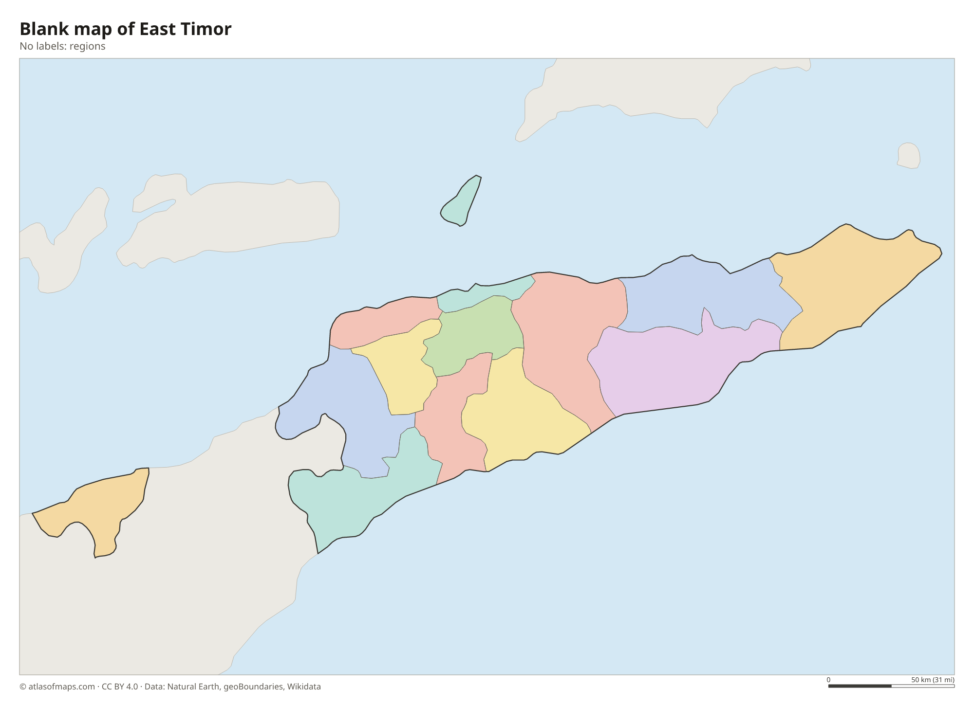
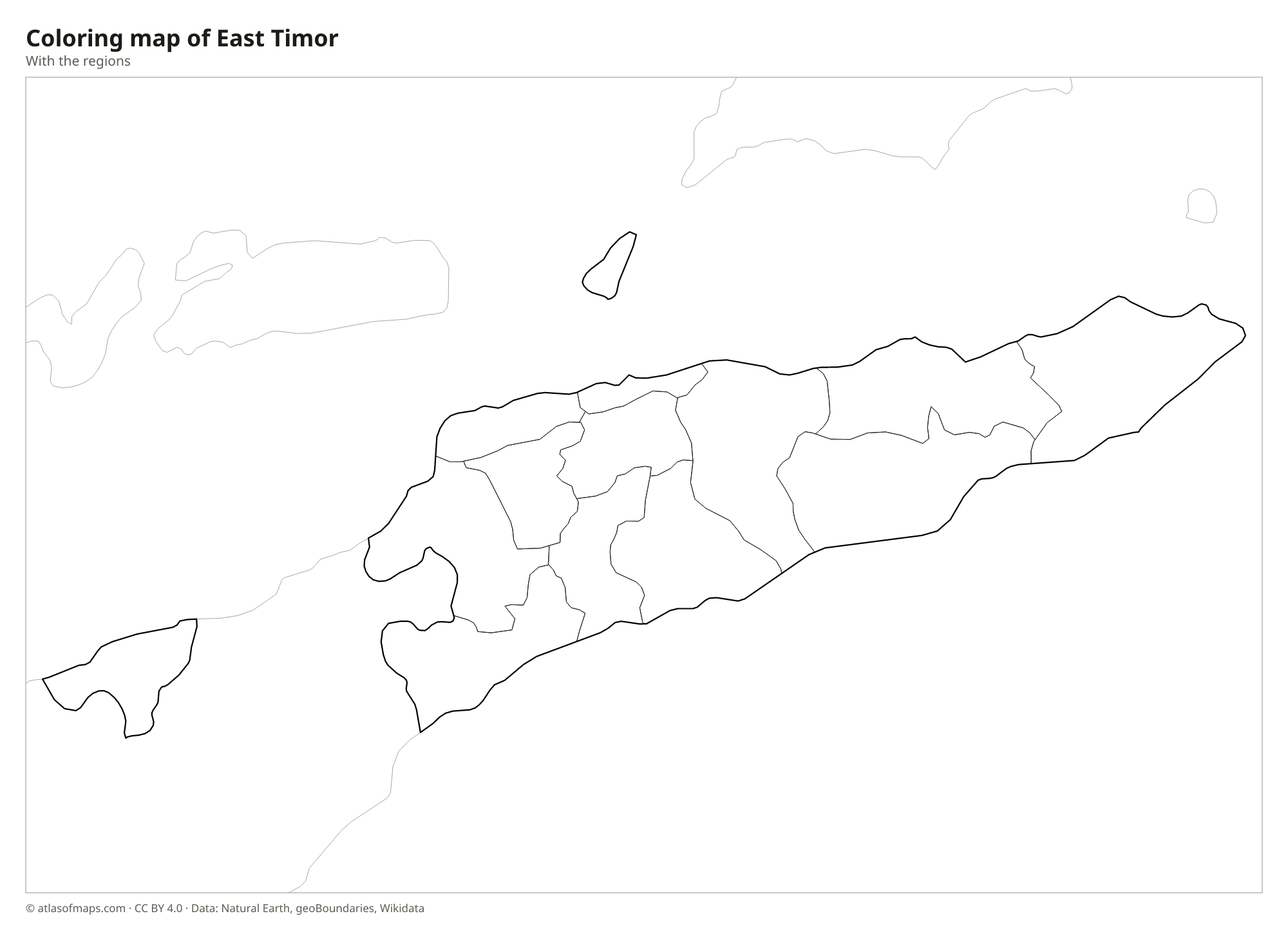
Blank and coloring maps of East Timor
Blank map of East Timor

Coloring map of East Timor

Geography of East Timor
East Timor covers 14,919 km² (5,760 sq mi). Besides the eastern part of Timor, it includes the exclave of Oecusse on the island's northwest coast, surrounded on land by Indonesian West Timor, as well as Atauro Island north of Dili and the small island of Jaco off the eastern tip. The interior is steep and mountainous: the Ramelau range runs along the center of the island, and its peak, Tatamailau (Mount Ramelau), reaches 2,963 m (9,721 ft). Coastal plains are narrow, especially along the north coast.
Rivers are short and steep, and many shrink to dry beds outside the rainy season. The climate is tropical, with a wet season roughly from December to April and a long dry season, when the north coast around Dili becomes very dry; the south coast gets more rain. The surrounding seas belong to the Coral Triangle, an area of exceptional marine biodiversity, and the reefs around Atauro have some of the richest fish life recorded anywhere.
Fun facts
- Oecusse, on the north coast of the western half of Timor, is separated from the rest of East Timor by Indonesian territory on land.
- East Timor became independent in 2002, making it one of the youngest countries in Asia.
- The reefs around Atauro Island, north of Dili, are among the most species-rich in the world.
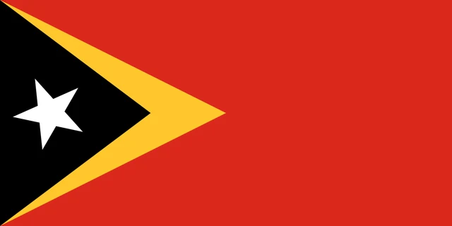
Flag of East Timor
The flag of East Timor is red with two overlapping triangles at the hoist side. A large yellow triangle points toward the middle of the flag, and a smaller black triangle lies on top of it. In the black triangle is a white five-pointed star, set at a slight angle.
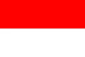
Countries bordering East Timor
Frequently asked questions
What countries border East Timor?
East Timor shares a land border only with Indonesia, which governs the western half of Timor and surrounds the Oecusse exclave on land. Australia lies across the Timor Sea to the south.
Is East Timor the same as Timor-Leste?
Yes. Timor-Leste is the country's official name in Portuguese and is used by the United Nations, while East Timor is the common English name. Leste means east in Portuguese.
What is the capital of East Timor?
The capital is Dili, on the north coast of Timor, facing Atauro Island to the north. It is the country's largest city and its main port.
What language is spoken in East Timor?
The official languages are Portuguese and Tetum.
Can I print the map of East Timor?
Yes. Every map on this page can be downloaded for free as PNG or PDF (US Letter) and printed, including the blank map and the coloring map. Please credit the source (Atlas of Maps, CC BY 4.0).
Use this map
You can download, print and share this map for free, in class, in school projects, in presentations and on websites, as long as you credit the source: Map of East Timor · Atlas of Maps (atlasofmaps.com), license CC BY 4.0.
See also: Map of Asia · Map of Southeast Asia · World map