Map of Indonesia
Indonesia is a country in Southeast Asia made up of thousands of islands between the Indian and Pacific Oceans. It shares land borders with Malaysia on Borneo, Papua New Guinea on New Guinea and East Timor on Timor, and lies north of Australia. The political map shows its provinces, the capital, Jakarta, and major cities.

- Capital
- Jakarta
- Population
- 275.4 million (2021)
- Area
- 1,904,570 km² (735,359 sq mi)
- Population density
- 145 per km² (375 per sq mi)
- Official language
- Indonesian
- Currency
- rupiah
- Demonym
- Indonesian
- Highest point
- Puncak Jaya (4,884 m (16,024 ft))
- Calling code
- +62
- Internet domain
- .id
Where is Indonesia?
Indonesia is a country in Southeast Asia made up of thousands of islands between the Indian and Pacific Oceans. It shares land borders with Malaysia on Borneo, Papua New Guinea on New Guinea and East Timor on Timor, and lies north of Australia.
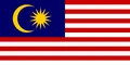
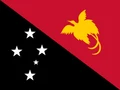
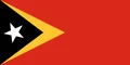
Neighboring countries: Malaysia, Papua New Guinea, East Timor.

Provinces of Indonesia and their capitals
Indonesia is divided into provinces, several with special status, such as Aceh, the Special Region of Yogyakarta and the capital region of Jakarta. New provinces were created in Papua in 2022, so the Natural Earth divisions on the map may not reflect the latest territorial reform.
The divisions on the map come from Natural Earth and may not reflect the latest territorial reform in Indonesia.
| Province | Capital | Population | Area |
|---|---|---|---|
| Aceh | Banda Aceh | 5,407,855 | 57,956 km² (22,377 sq mi) |
| Bali | Denpasar | 4,362,700 | 5,780 km² (2,232 sq mi) |
| Bangka Belitung Islands | Pangkal Pinang | 1,531,500 | 16,424 km² (6,341 sq mi) |
| Banten | Serang | 11,834,087 | 9,663 km² (3,731 sq mi) |
| Bengkulu | Bengkulu | 2,112,200 | 19,789 km² (7,641 sq mi) |
| Central Java | Semarang | 37,892,300 | 32,801 km² (12,665 sq mi) |
| Central Kalimantan | Palangka Raya | 2,809,700 | 153,565 km² (59,292 sq mi) |
| Central Sulawesi | Palu | 3,121,800 | 61,841 km² (23,877 sq mi) |
| East Java | Surabaya | 41,814,500 | 48,033 km² (18,546 sq mi) |
| East Kalimantan | Samarinda | 4,045,900 | 129,067 km² (49,833 sq mi) |
| East Nusa Tenggara | Kupang | 5,656,000 | 48,718 km² (18,810 sq mi) |
| Gorontalo | Gorontalo | 1,227,800 | 12,215 km² (4,716 sq mi) |
| Jakarta | Jakarta | 11,135,191 | 662 km² (256 sq mi) |
| Jambi | Jambi | 3,724,300 | 50,058 km² (19,328 sq mi) |
| Lampung | Bandar Lampung | 9,419,600 | 35,376 km² (13,659 sq mi) |
| Maluku | Ambon | 1,945,600 | 46,914 km² (18,114 sq mi) |
| North Maluku | Sofifi | 1,355,600 | 31,983 km² (12,349 sq mi) |
| North Sulawesi | Manado | 2,701,800 | 15,359 km² (5,930 sq mi) |
| North Sumatra | Medan | 15,588,500 | 72,981 km² (28,178 sq mi) |
| Papua | Jayapura | 4,542,600 | 82,681 km² (31,923 sq mi) |
| Riau | Pekanbaru | 6,728,100 | 75,569 km² (29,177 sq mi) |
| Riau Islands | Tanjungpinang | 2,183,300 | 21,992 km² (8,491 sq mi) |
| South Kalimantan | Banjarbaru | 4,273,400 | 38,744 km² (14,959 sq mi) |
| South Sulawesi | Makassar | 9,463,400 | 46,717 km² (18,038 sq mi) |
| South Sumatra | Palembang | 8,837,300 | 91,592 km² (35,364 sq mi) |
| Southeast Sulawesi | Kendari | 2,793,100 | 38,067 km² (14,698 sq mi) |
| West Java | Bandung | 50,345,200 | 35,378 km² (13,660 sq mi) |
| West Kalimantan | Pontianak | 5,695,500 | 147,307 km² (56,876 sq mi) |
| West Nusa Tenggara | Mataram | 5,646,000 | 19,709 km² (7,610 sq mi) |
| West Papua | Manokwari | 1,205,800 | 64,135 km² (24,763 sq mi) |
| West Sulawesi | Mamuju | 1,503,200 | 16,787 km² (6,481 sq mi) |
| West Sumatra | Padang | 5,836,200 | 42,012 km² (16,221 sq mi) |
| Yogyakarta | Yogyakarta | 3,759,500 | 3,133 km² (1,210 sq mi) |
Population from Wikidata (latest figure available for each province).
Blank and coloring maps of Indonesia
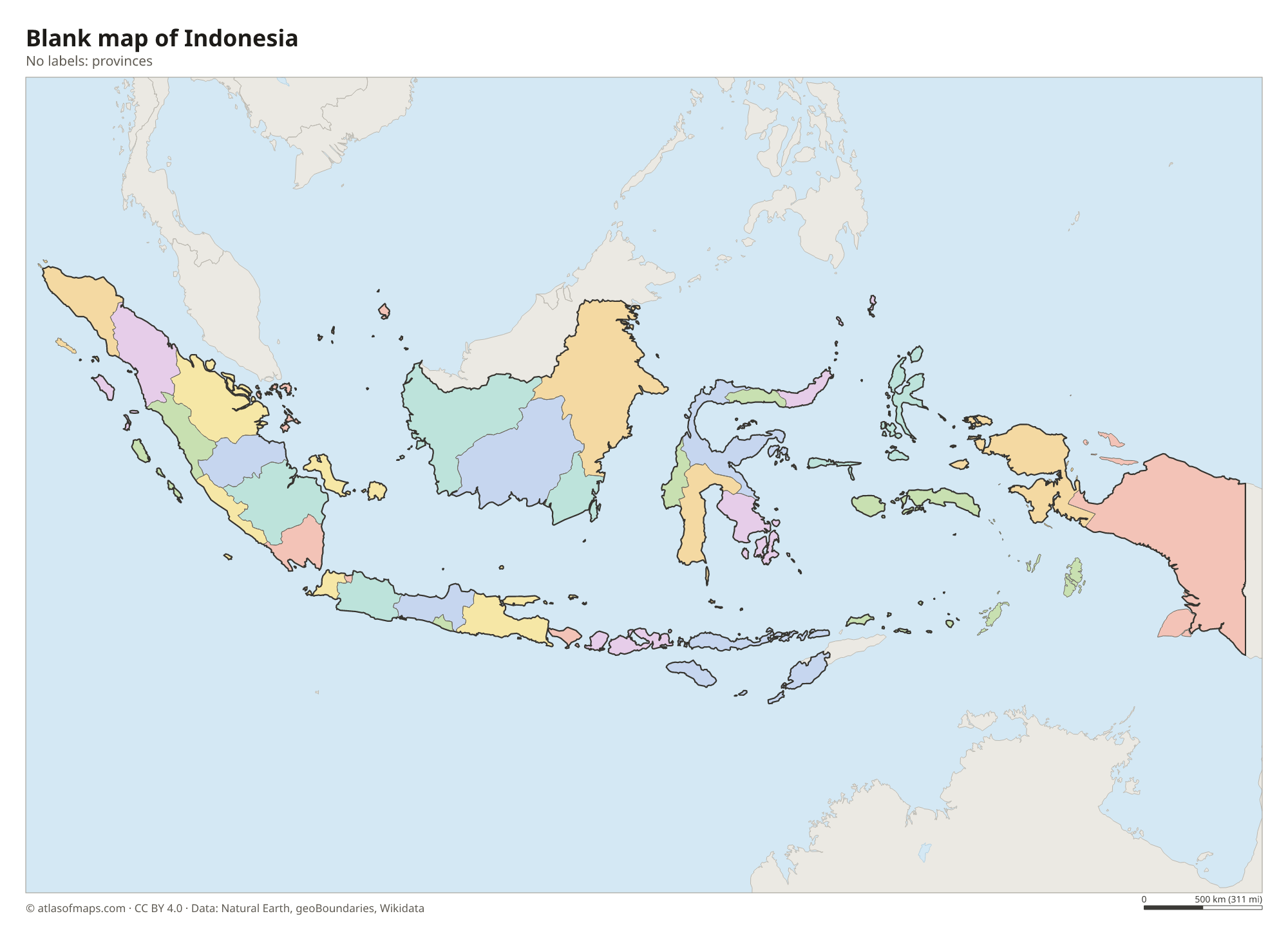
Blank map of Indonesia

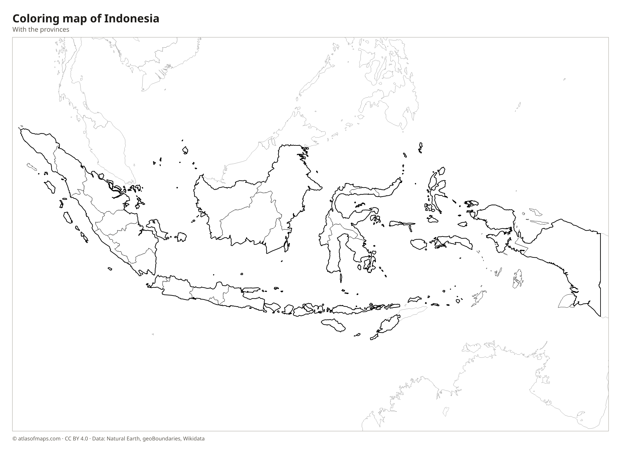
Coloring map of Indonesia

Geography of Indonesia
Indonesia is the world's largest archipelagic country, with more than 17,000 islands stretching more than 5,000 km (3,100 mi) from east to west. The main islands are Sumatra, Java, Borneo (Kalimantan), Sulawesi and New Guinea (Papua), with Bali, the Lesser Sunda Islands and the Maluku Islands in between. Together they cover 1,904,570 km² (735,359 sq mi). Indonesia lies on the Pacific Ring of Fire and has more than a hundred active volcanoes, including Merapi and Krakatau. The highest point, Puncak Jaya in Papua, reaches 4,884 m (16,024 ft) and still has small glaciers near the equator.
The equator crosses Sumatra, Borneo, Sulawesi and Halmahera, and most of the country has a hot, humid tropical climate with a wet monsoon season and a drier season. Large rivers such as the Kapuas and the Mahakam on Borneo and the Musi on Sumatra wind through lowland rainforest. Lake Toba in northern Sumatra fills the crater of an ancient supervolcano and is the largest volcanic lake on Earth. Java, home to the capital, Jakarta, is the most populous island in the world. Between the islands lie seas such as the Java Sea, the Banda Sea and the Celebes Sea.
Fun facts
- Komodo dragons, the largest living lizards, live in the wild only on a few Indonesian islands, including Komodo, Rinca and Flores.
- The 1815 eruption of Mount Tambora on the island of Sumbawa was the most powerful volcanic eruption in recorded history.
- A new capital called Nusantara is being built in East Kalimantan, on the island of Borneo.
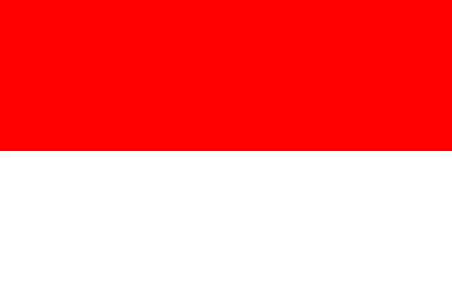
Flag of Indonesia
Indonesia's flag has two equal horizontal stripes, red on top and white below, with no emblem. It has a 2:3 ratio. The flag is almost identical to the flag of Monaco, which is shorter, with a 4:5 ratio, and it looks like the flag of Poland turned upside down.
Countries bordering Indonesia
Frequently asked questions
What countries border Indonesia?
Indonesia shares land borders with three countries: Malaysia on the island of Borneo, Papua New Guinea on New Guinea and East Timor on Timor. Singapore, the Philippines and Australia are close neighbors across the sea.
How many islands does Indonesia have?
Indonesia has more than 17,000 islands, many of them small and uninhabited. The five largest are New Guinea and Borneo, which it shares with other countries, followed by Sumatra, Sulawesi and Java.
Is Indonesia in Asia or Oceania?
Indonesia is in Southeast Asia, but its easternmost provinces on New Guinea are often counted as part of Oceania. The country forms a bridge of islands between mainland Asia and Australia.
What is the capital of Indonesia?
The capital of Indonesia is Jakarta.
What language is spoken in Indonesia?
The official language is Indonesian.
Can I print the map of Indonesia?
Yes. Every map on this page can be downloaded for free as PNG or PDF (US Letter) and printed, including the blank map and the coloring map. Please credit the source (Atlas of Maps, CC BY 4.0).
Use this map
You can download, print and share this map for free, in class, in school projects, in presentations and on websites, as long as you credit the source: Map of Indonesia · Atlas of Maps (atlasofmaps.com), license CC BY 4.0.
See also: Map of Asia · Map of Southeast Asia · World map