Map of Eswatini with regions and capitals
Eswatini, formerly known as Swaziland, is a small landlocked country in southern Africa. It is almost completely surrounded by South Africa, which borders it on the north, west and south, and shares its eastern border with Mozambique. The political map shows its 4 regions, the capital, Lobamba and Mbabane, and major cities.

- Capital
- Lobamba and Mbabane
- Population
- 1.2 million (2023)
- Area
- 17,364 km² (6,704 sq mi)
- Population density
- 71 per km² (184 per sq mi)
- Official languages
- English and Swazi
- Currency
- lilangeni
- Demonym
- Swazi
- Regions
- 4
- Highest point
- Emlembe (1,862 m (6,109 ft))
- Calling code
- +268
- Internet domain
- .sz
- Official name
- Kingdom of Eswatini
- Also known as
- Swaziland
Where is Eswatini?
Eswatini, formerly known as Swaziland, is a small landlocked country in southern Africa. It is almost completely surrounded by South Africa, which borders it on the north, west and south, and shares its eastern border with Mozambique.
Neighboring countries: Mozambique, South Africa.

Regions of Eswatini and their capitals
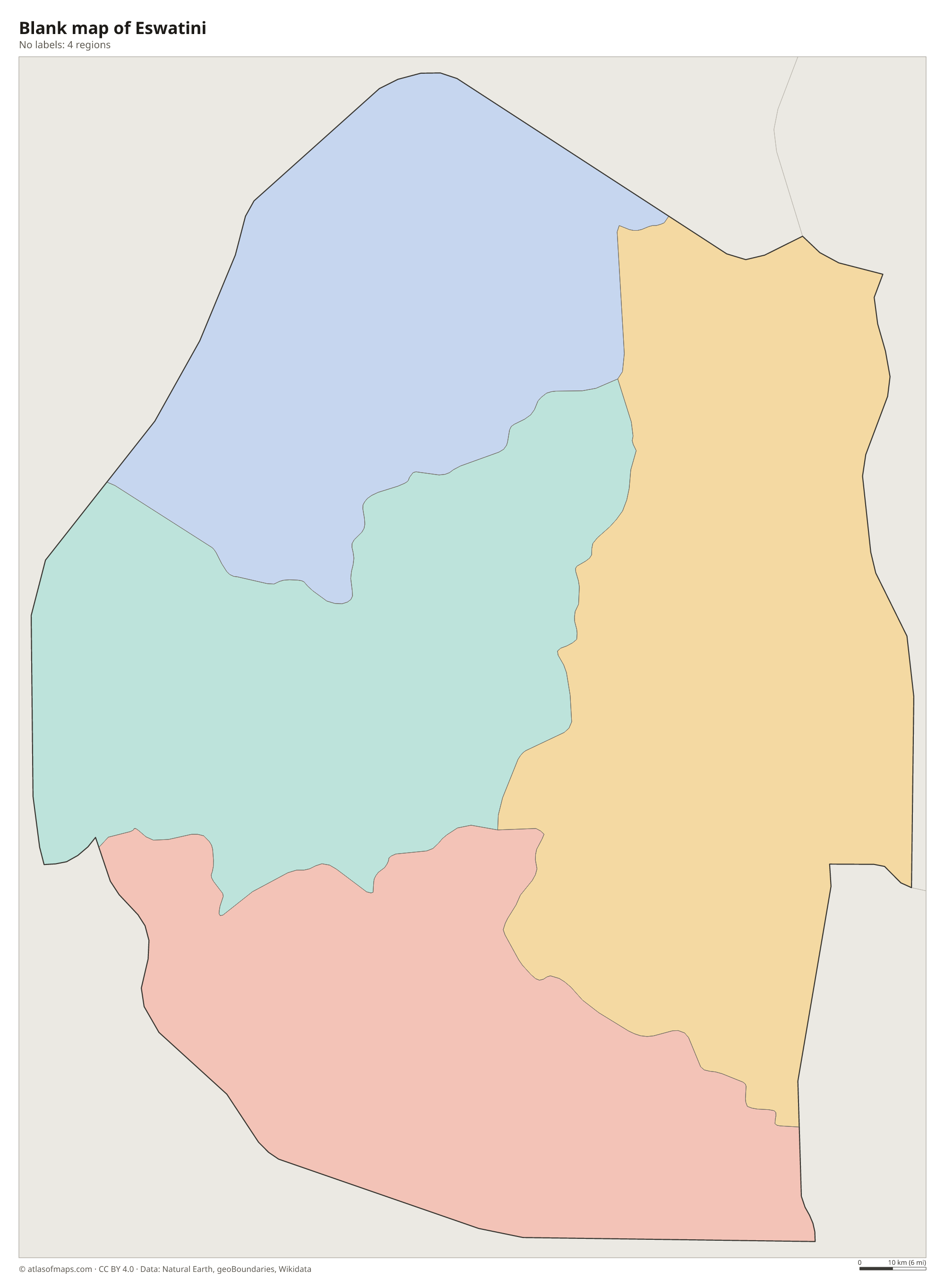
Eswatini is divided into 4 regions: Hhohho in the north, Lubombo in the east, Manzini in the center and Shiselweni in the south. Both Mbabane, the administrative capital, and Lobamba, the royal and legislative capital, lie in Hhohho.
| Region | Capital | Population | Area |
|---|---|---|---|
| Hhohho | Mbabane | 320,651 | 3,569 km² (1,378 sq mi) |
| Lubombo | Siteki | 212,531 | 5,945 km² (2,295 sq mi) |
| Manzini | Manzini | 355,945 | 4,070 km² (1,571 sq mi) |
| Shiselweni | Nhlangano | 204,111 | 3,786 km² (1,462 sq mi) |
Population from Wikidata (latest figure available for each region).
Blank and coloring maps of Eswatini
Blank map of Eswatini

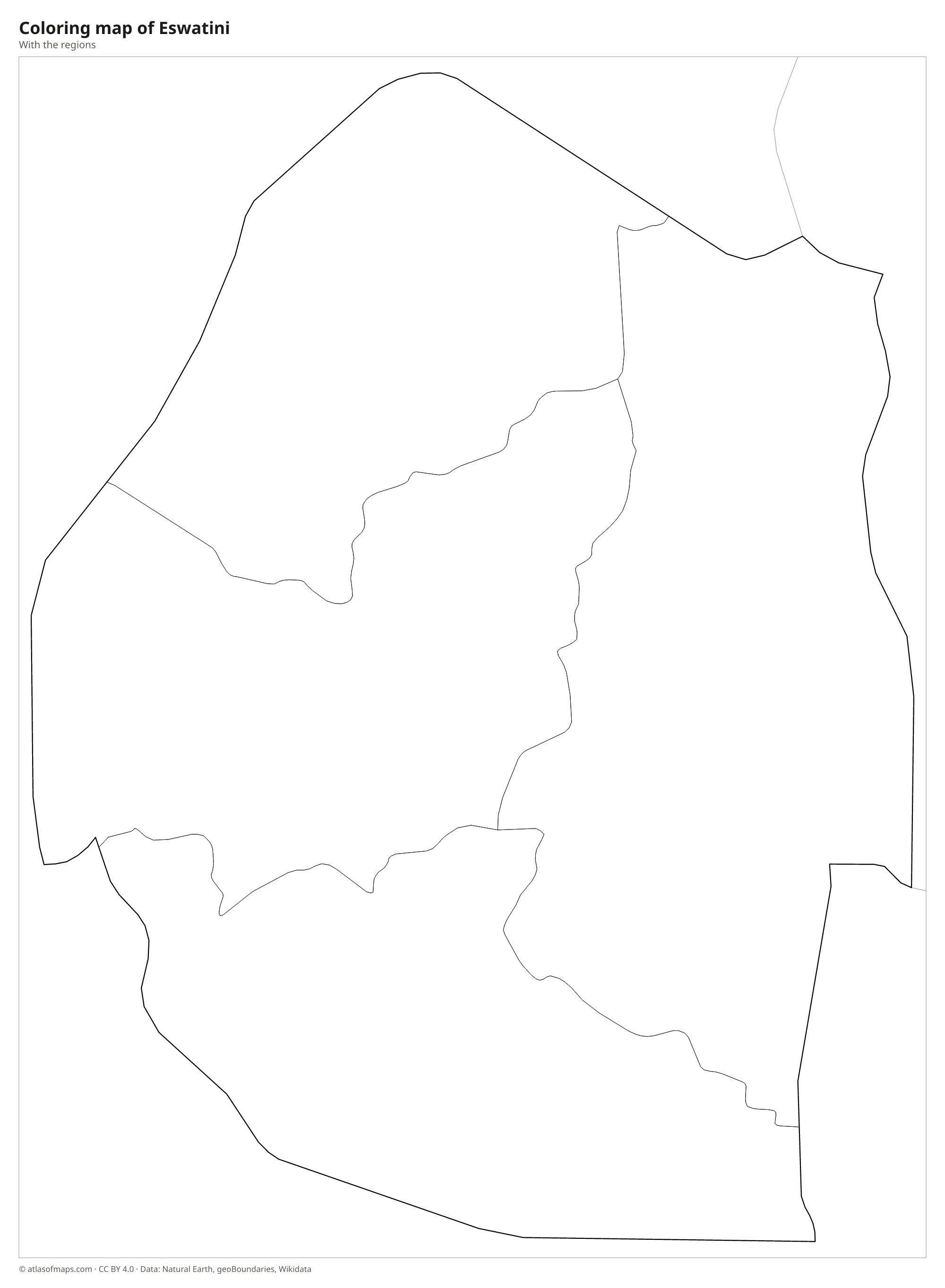
Coloring map of Eswatini

Geography of Eswatini
Eswatini covers 17,364 km² (6,704 sq mi) and descends in a series of steps from west to east. The Highveld in the west is a region of mountains and grassy uplands, where Emlembe, on the border with South Africa, reaches 1,862 m (6,109 ft). The Middleveld, lower and more densely settled, has fertile valleys and rolling hills. The Lowveld in the east is hot bush country, and along the eastern border the Lubombo Mountains form a long ridge facing Mozambique.
Several rivers cross Eswatini from west to east on their way to the Indian Ocean, including the Komati, the Mbuluzi, the Great Usutu (Lusutfu) and the Ngwavuma. Their water irrigates large sugarcane plantations in the Lowveld. The climate ranges from cool and wet in the Highveld to warm and drier in the Lowveld, with most rain falling in summer, from about October to March. Hlane Royal National Park in the northeast protects lions, elephants and rhinos.
Fun facts
- The country's official name changed from Swaziland to Eswatini in 2018; both names refer to the land of the Swazi people.
- Ngwenya Mine in the northwest is considered one of the oldest known mines in the world, where people dug for red ochre tens of thousands of years ago.
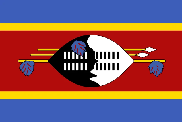
Flag of Eswatini
The flag of Eswatini has five horizontal stripes: blue, yellow, a wide crimson stripe, yellow and blue. Across the center of the crimson stripe lies a black and white Nguni shield, together with two spears and a staff decorated with tassels of feathers, all placed horizontally.
Countries bordering Eswatini
Frequently asked questions
What countries border Eswatini?
Eswatini borders only two countries: South Africa, which surrounds it on the north, west and south, and Mozambique to the east. It has no coastline.
What is the capital of Eswatini?
Eswatini has two capitals. Mbabane is the administrative capital and seat of government, while nearby Lobamba is the royal and legislative capital, home to the parliament.
How many regions does Eswatini have?
Eswatini has 4 regions: Hhohho, Lubombo, Manzini and Shiselweni. Each region is further divided into constituencies called tinkhundla.
What language is spoken in Eswatini?
The official languages are English and Swazi.
Can I print the map of Eswatini?
Yes. Every map on this page can be downloaded for free as PNG or PDF (US Letter) and printed, including the blank map and the coloring map. Please credit the source (Atlas of Maps, CC BY 4.0).
Use this map
You can download, print and share this map for free, in class, in school projects, in presentations and on websites, as long as you credit the source: Map of Eswatini · Atlas of Maps (atlasofmaps.com), license CC BY 4.0.
See also: Map of Africa · World map