Map of Mozambique with regions and capitals
Mozambique is a country in southeastern Africa with a long coast on the Indian Ocean. It borders Tanzania, Malawi, Zambia, Zimbabwe, South Africa and Eswatini, and the Mozambique Channel separates it from Madagascar. The political map shows its 11 regions, the capital, Maputo, and major cities.

- Capital
- Maputo
- Population
- 29.7 million (2017)
- Area
- 801,590 km² (309,496 sq mi)
- Population density
- 37 per km² (96 per sq mi)
- Official language
- Portuguese
- Currency
- Mozambican metical
- Demonym
- Mozambican
- Regions
- 11
- Highest point
- Monte Binga (2,436 m (7,992 ft))
- Calling code
- +258
- Internet domain
- .mz
Where is Mozambique?
Mozambique is a country in southeastern Africa with a long coast on the Indian Ocean. It borders Tanzania, Malawi, Zambia, Zimbabwe, South Africa and Eswatini, and the Mozambique Channel separates it from Madagascar.
Neighboring countries: Malawi, Eswatini, Tanzania, South Africa, Zambia, Zimbabwe.

Regions of Mozambique and their capitals
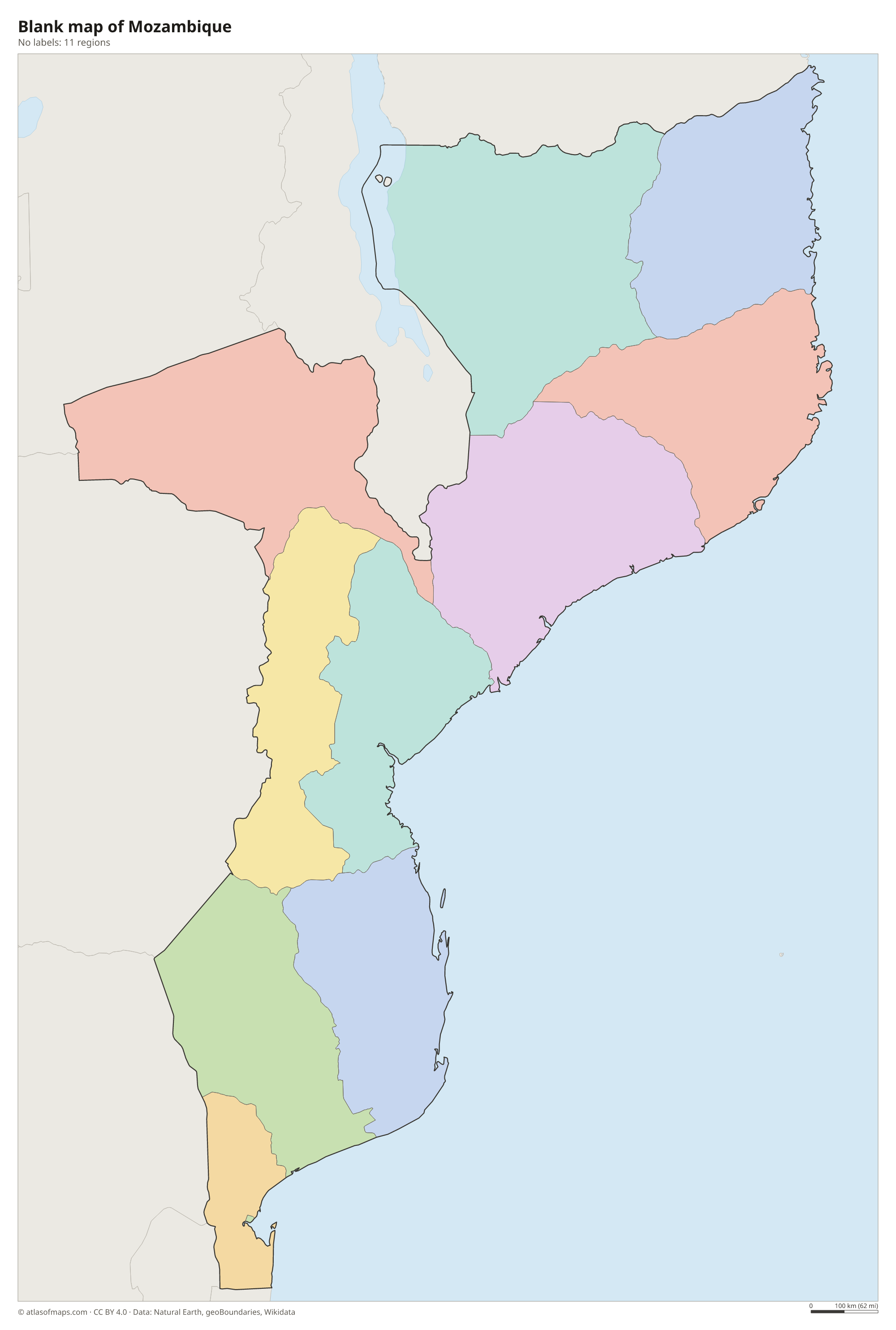
The map shows 11 units: 10 provinces, from Cabo Delgado in the north to Maputo Province in the south, plus the city of Maputo, the capital, which has provincial status. Niassa is the largest province by area.
| Region | Capital | Population | Area |
|---|---|---|---|
| Cabo Delgado | Pemba | 2,333,278 | 78,778 km² (30,416 sq mi) |
| Gaza | Xai-Xai | 1,446,654 | 75,334 km² (29,087 sq mi) |
| Inhambane | Inhambane | 1,496,824 | 68,775 km² (26,554 sq mi) |
| Manica | Chimoio | 1,911,237 | 62,272 km² (24,043 sq mi) |
| Maputo City | Maputo City | 1,133,200 | 347 km² (134 sq mi) |
| Maputo Province | Matola | 2,507,098 | 22,693 km² (8,762 sq mi) |
| Nampula | Nampula | 6,102,867 | 79,010 km² (30,506 sq mi) |
| Niassa | Lichinga | 1,865,976 | 122,827 km² (47,424 sq mi) |
| Sofala | Beira | 2,221,803 | 68,018 km² (26,262 sq mi) |
| Tete | Tete | 2,551,826 | 98,417 km² (37,999 sq mi) |
| Zambezia | Quelimane | 5,110,787 | 103,478 km² (39,953 sq mi) |
Population from Wikidata (latest figure available for each region).
Blank and coloring maps of Mozambique
Blank map of Mozambique

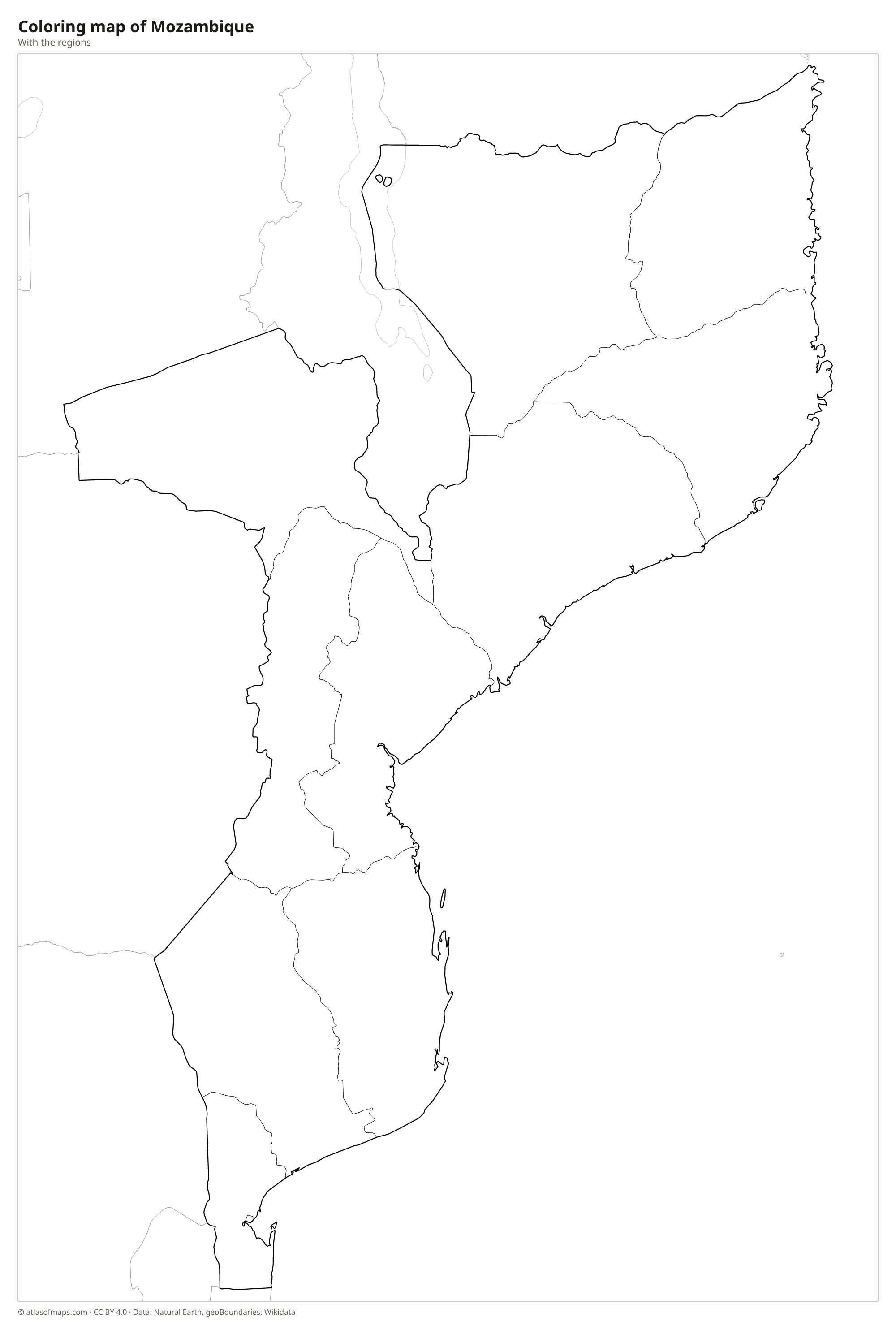
Coloring map of Mozambique

Geography of Mozambique
Mozambique covers 801,590 km² (309,496 sq mi). Nearly half the country is a low coastal plain, widest in the south, that rises inland to plateaus and highlands along the western borders. The north has rolling plateaus dotted with granite domes called inselbergs, and the Niassa highlands lie near Lake Malawi. The highest point, Monte Binga, reaches 2,436 m (7,992 ft) in the Chimanimani Mountains on the border with Zimbabwe.
Many large rivers cross Mozambique on their way to the Indian Ocean. The Zambezi, the biggest, flows through the center, where the Cahora Bassa Dam holds back a large reservoir, before reaching the sea through a wide delta. The Limpopo crosses the south, and the Rovuma forms the border with Tanzania. The coast has mangroves, coral reefs and island groups such as the Bazaruto and Quirimbas archipelagos. The climate is tropical, with a rainy season from about November to March and frequent cyclones on the coast.
Fun facts
- The Island of Mozambique, a small coral island off the northern coast, was an early Portuguese trading post, gave the country its name and is now a UNESCO World Heritage Site.
- Cahora Bassa on the Zambezi is one of the largest hydroelectric dams in Africa.
- Mozambique has one of the longest coastlines in Africa, facing the Indian Ocean for most of its length.
Flag of Mozambique
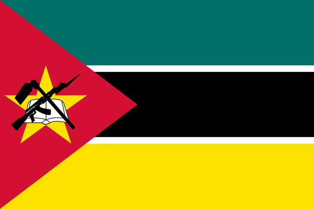
The flag of Mozambique has three equal horizontal bands of green, black and yellow, separated by thin white stripes. A red triangle at the hoist holds a yellow five-pointed star, on which an open white book lies beneath a crossed hoe and an AK-47 rifle with a bayonet, all outlined in black. The flag has a 2:3 ratio.
Countries bordering Mozambique
Frequently asked questions
What countries border Mozambique?
Mozambique borders six countries: Tanzania to the north, Malawi and Zambia to the northwest, Zimbabwe to the west, and South Africa and Eswatini to the southwest.
How many provinces does Mozambique have?
Mozambique has 10 provinces plus the capital city of Maputo, which has the status of a province. These 11 units are shown on the map.
What ocean is Mozambique on?
Mozambique lies on the Indian Ocean. Its coast faces the Mozambique Channel, the stretch of ocean between mainland Africa and the island of Madagascar.
What is the capital of Mozambique?
The capital of Mozambique is Maputo.
What language is spoken in Mozambique?
The official language is Portuguese.
Can I print the map of Mozambique?
Yes. Every map on this page can be downloaded for free as PNG or PDF (US Letter) and printed, including the blank map and the coloring map. Please credit the source (Atlas of Maps, CC BY 4.0).
Use this map
You can download, print and share this map for free, in class, in school projects, in presentations and on websites, as long as you credit the source: Map of Mozambique · Atlas of Maps (atlasofmaps.com), license CC BY 4.0.
See also: Map of Africa · World map