Map of Luxembourg with cantons and capitals
Luxembourg is a small landlocked country in Western Europe. It borders Belgium to the west and north, Germany to the east and France to the south, and lies between the Ardennes uplands and the Moselle Valley. The political map shows its 12 cantons, the capital, Luxembourg, and major cities.

- Capital
- Luxembourg
- Population
- 690,959 (2026)
- Area
- 2,593 km² (1,001 sq mi)
- Population density
- 266 per km² (690 per sq mi)
- Official languages
- Luxembourgish, French, and German
- Currency
- euro
- Demonym
- Luxembourgish
- Cantons
- 12
- Highest point
- Kneiff (560 m (1,837 ft))
- Calling code
- +352
- Internet domain
- .lu
- Official name
- Grand Duchy of Luxembourg
Where is Luxembourg?
Luxembourg is a small landlocked country in Western Europe. It borders Belgium to the west and north, Germany to the east and France to the south, and lies between the Ardennes uplands and the Moselle Valley.

Cantons of Luxembourg
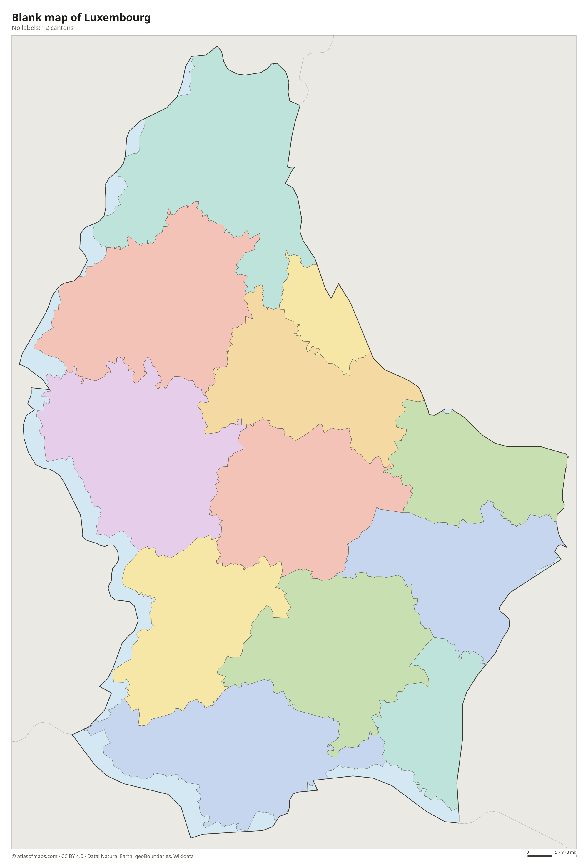
Luxembourg is divided into 12 cantons, the units drawn on the map, from Clervaux and Wiltz in the north to Esch-sur-Alzette and Remich in the south. The cantons are made up of smaller communes, which handle local government.
| Canton | Area |
|---|---|
| Capellen | 199 km² (77 sq mi) |
| Clervaux | 296 km² (114 sq mi) |
| Diekirch | 193 km² (75 sq mi) |
| Echternach | 154 km² (59 sq mi) |
| Esch-sur-Alzette | 238 km² (92 sq mi) |
| Grevenmacher | 196 km² (76 sq mi) |
| Luxembourg | 239 km² (92 sq mi) |
| Mersch | 223 km² (86 sq mi) |
| Redange | 269 km² (104 sq mi) |
| Remich | 108 km² (42 sq mi) |
| Vianden | 59 km² (23 sq mi) |
| Wiltz | 264 km² (102 sq mi) |
Blank and coloring maps of Luxembourg
Blank map of Luxembourg

Coloring map of Luxembourg

Geography of Luxembourg
Luxembourg covers 2,593 km² (1,001 sq mi) and has two natural regions. In the north, the Oesling (Éislek) is part of the Ardennes: a plateau cut by deep, wooded river valleys, where the highest point, Kneiff, reaches 560 m (1,837 ft) near the village of Wilwerdange. The southern two thirds of the country, called the Gutland ("good land"), is lower, more open country of farmland and forests. It holds most of the population, as well as the sandstone gorges of the Mullerthal region near Echternach.
The Moselle River forms the southeastern border with Germany, and its sunny slopes are lined with vineyards. The Sauer (Sûre) and the Our mark the rest of that border, while the Alzette flows north through Luxembourg City. In the northwest, the Upper Sûre Lake is a reservoir that supplies much of the country's drinking water. In the far south, the iron-rich Red Lands (Minett) around Esch-sur-Alzette were once the center of a large steel industry. The climate is temperate, with mild summers and cool, damp winters.
Fun facts
- Luxembourg is the world's only remaining grand duchy, a country whose head of state is a grand duke.
- The Schengen Agreement, which removed border checks across much of Europe, is named after a Luxembourg village on the Moselle near the point where France, Germany and Luxembourg meet.
- Luxembourg has three official languages: Luxembourgish, French and German.
Flag of Luxembourg
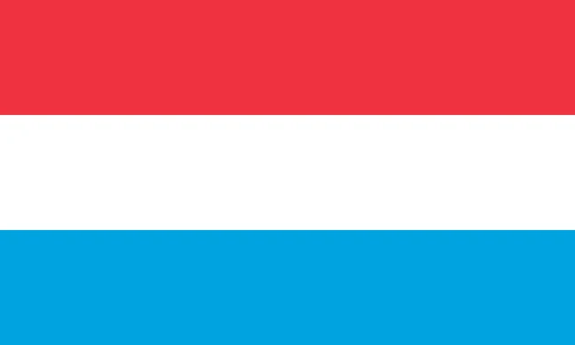
The flag of Luxembourg has three equal horizontal bands of red, white and light blue, from top to bottom, with no emblem. It looks very like the flag of the Netherlands, but its blue is a lighter sky blue and the flag is usually longer. A second flag, showing a red lion on blue and white stripes, is also widely flown.
Countries bordering Luxembourg
Frequently asked questions
What countries border Luxembourg?
Luxembourg borders three countries: Belgium to the west and north, Germany to the east and France to the south. It has no coastline.
How many cantons does Luxembourg have?
Luxembourg has 12 cantons: Capellen, Clervaux, Diekirch, Echternach, Esch-sur-Alzette, Grevenmacher, Luxembourg, Mersch, Redange, Remich, Vianden and Wiltz.
What is the capital of Luxembourg?
The capital is Luxembourg City, which shares its name with the country. It stands on a rocky plateau above the deep valleys of the Alzette and Pétrusse rivers.
What language is spoken in Luxembourg?
The official languages are Luxembourgish, French, and German.
Can I print the map of Luxembourg?
Yes. Every map on this page can be downloaded for free as PNG or PDF (US Letter) and printed, including the blank map and the coloring map. Please credit the source (Atlas of Maps, CC BY 4.0).
Use this map
You can download, print and share this map for free, in class, in school projects, in presentations and on websites, as long as you credit the source: Map of Luxembourg · Atlas of Maps (atlasofmaps.com), license CC BY 4.0.
See also: Map of Europe · Map of the European Union · World map