Map of Belgium with provinces and capitals
Belgium is a country in Western Europe with a short coast on the North Sea. It borders the Netherlands to the north, Germany to the east, Luxembourg to the southeast and France to the south and west. The political map shows its 11 provinces, the capital, Brussels, and major cities.

- Capital
- Brussels
- Population
- 11.8 million (2025)
- Area
- 30,688 km² (11,849 sq mi)
- Population density
- 385 per km² (998 per sq mi)
- Official languages
- Dutch, French, and German
- Currency
- euro
- Demonym
- Belgian
- Provinces
- 11
- Highest point
- Signal de Botrange (694 m (2,277 ft))
- Calling code
- +32
- Internet domain
- .be
- Official name
- Kingdom of Belgium
Where is Belgium?
Belgium is a country in Western Europe with a short coast on the North Sea. It borders the Netherlands to the north, Germany to the east, Luxembourg to the southeast and France to the south and west.
Neighboring countries: Germany, France, Luxembourg, Netherlands.

Provinces of Belgium and their capitals
The map shows 11 units: Belgium's 10 provinces and the Brussels-Capital Region, which belongs to no province. Above the provinces are 3 regions: Flanders in the north, Wallonia in the south, and Brussels in between.
| Province | Capital | Population | Area |
|---|---|---|---|
| Antwerp | Antwerp | 1,921,189 | 2,876 km² (1,110 sq mi) |
| Brussels Capital | Brussels | 1,255,795 | 161 km² (62 sq mi) |
| East Flanders | Ghent | 1,602,532 | 3,007 km² (1,161 sq mi) |
| Flemish Brabant | Leuven | 1,204,541 | 2,118 km² (818 sq mi) |
| Hainaut | Mons | 1,365,328 | 3,813 km² (1,472 sq mi) |
| Liège | Liège | 1,122,925 | 3,857 km² (1,489 sq mi) |
| Limburg | Hasselt | 904,919 | 2,427 km² (937 sq mi) |
| Luxembourg | Luxembourg | 411,312 | 904 km² (349 sq mi) |
| Namur | Namur | 505,348 | 3,675 km² (1,419 sq mi) |
| Walloon Brabant | Wavre | 415,381 | 1,097 km² (424 sq mi) |
| West Flanders | Bruges | 1,231,585 | 3,197 km² (1,234 sq mi) |
Population from Wikidata (latest figure available for each province).
Blank and coloring maps of Belgium
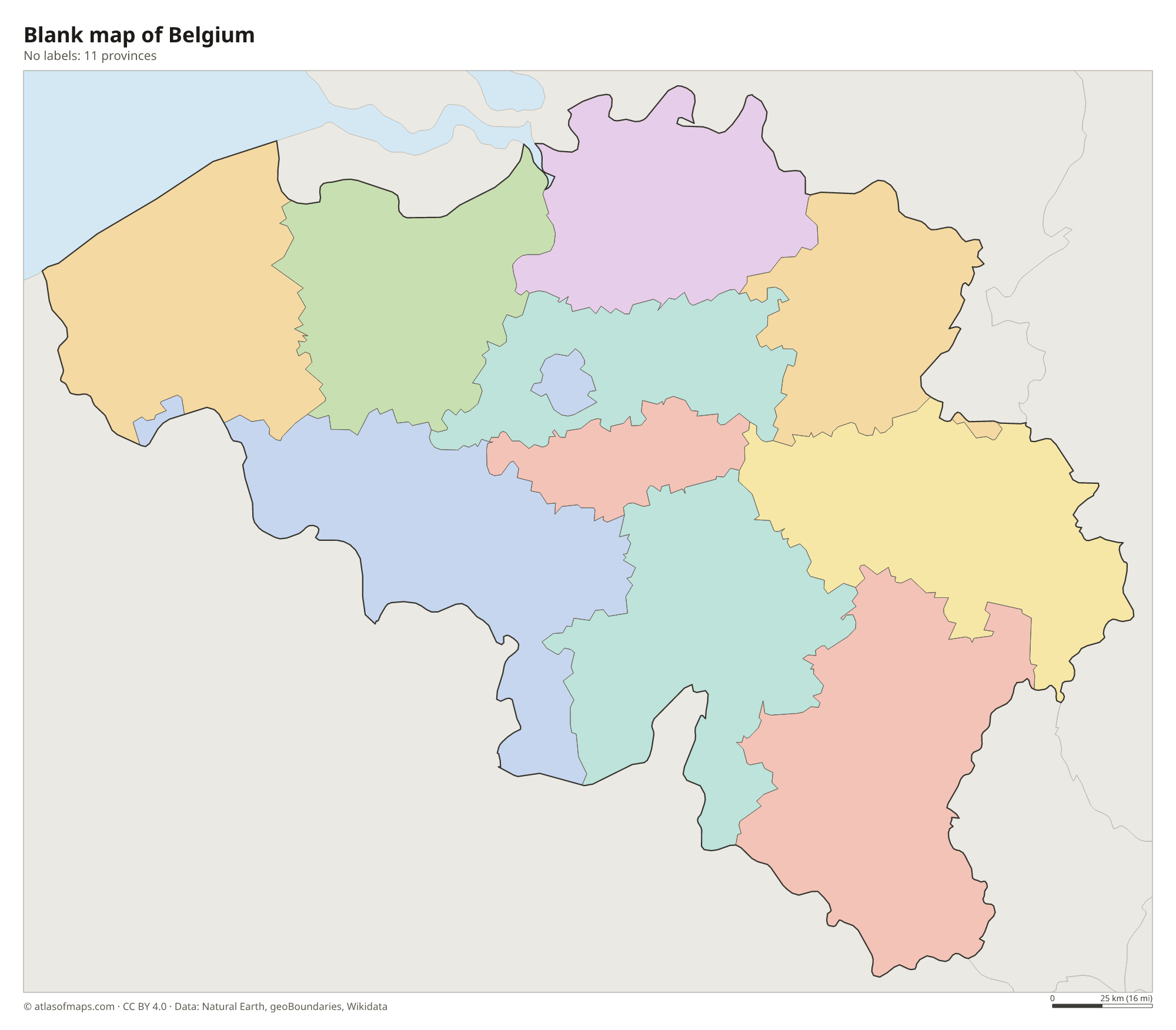
Blank map of Belgium

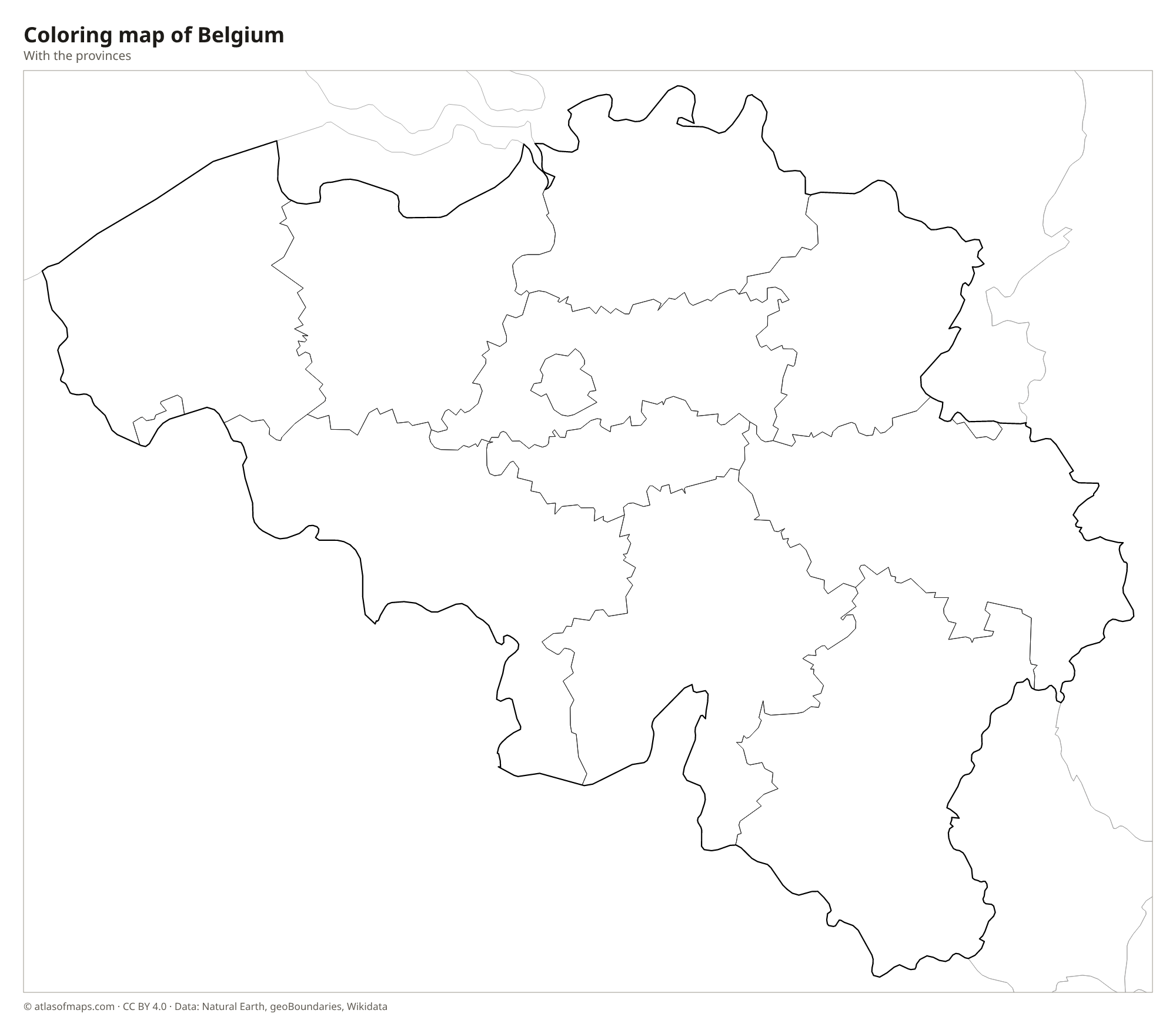
Coloring map of Belgium

Geography of Belgium
Belgium covers 30,688 km² (11,849 sq mi) and rises gradually from northwest to southeast. Along the coast lie sand dunes and polders, flat land reclaimed from the sea. Inland, the low plains of Flanders give way to the central plateaus of Brabant and Hainaut. South of the Sambre and Meuse rivers, the land climbs into the wooded hills of the Ardennes. The highest point, Signal de Botrange, reaches 694 m (2,277 ft) on the High Fens plateau near the German border.
The two main rivers are the Scheldt, which flows through Ghent and Antwerp toward the North Sea in the Netherlands, and the Meuse, which crosses Wallonia past Namur and Liège. A dense network of canals links them with the coast and with neighboring countries, and Antwerp is one of the largest seaports in Europe. The climate is temperate and maritime, with mild winters, cool summers and rain spread through the year, while the Ardennes are cooler and snowier. About 11.8 million people (2025) live in Belgium, one of the most densely populated countries in Europe.
Fun facts
- Belgium has three official languages, Dutch, French and German, and a language border runs across the country from west to east.
- Brussels hosts the main institutions of the European Union and the headquarters of NATO.
- Belgium's coastline on the North Sea is less than 70 km (43 mi) long.
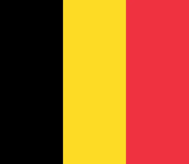
Flag of Belgium
The flag of Belgium has three equal vertical bands of black, yellow and red, with black at the hoist. It is almost square: the official proportions are 13 by 15, so it is only slightly wider than it is tall. It carries no emblem.
Countries bordering Belgium
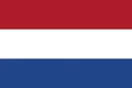
Frequently asked questions
What countries border Belgium?
Belgium borders four countries: the Netherlands, Germany, Luxembourg and France. Its northwest coast faces the North Sea, across from the United Kingdom.
How many provinces does Belgium have?
Belgium has 10 provinces, 5 in Flanders and 5 in Wallonia. Together with the Brussels-Capital Region, which is outside any province, they make up the 11 units shown on the map.
What languages are spoken in Belgium?
Belgium has three official languages. Dutch is spoken in Flanders in the north, French in Wallonia in the south, and German in a small area in the east; Brussels is officially bilingual.
What is the capital of Belgium?
The capital of Belgium is Brussels.
Can I print the map of Belgium?
Yes. Every map on this page can be downloaded for free as PNG or PDF (US Letter) and printed, including the blank map and the coloring map. Please credit the source (Atlas of Maps, CC BY 4.0).
Use this map
You can download, print and share this map for free, in class, in school projects, in presentations and on websites, as long as you credit the source: Map of Belgium · Atlas of Maps (atlasofmaps.com), license CC BY 4.0.
See also: Map of Europe · Map of the European Union · World map